The best gravel rides around Großenehrich
5.0
(1)
12
riders
4
rides
Gravel biking around Großenehrich offers routes through varied terrain, including river valleys and forested areas. The region features a mix of rolling hills and more challenging ascents, providing diverse options for gravel cyclists. Routes often follow established paths like the Unstrut-Werra Cycle Path, connecting different points of interest. This landscape provides a suitable environment for exploring on a gravel bike.
Best gravel bike trails around Großenehrich
- The most popular gravel bike trail is Unstrut-Werra Cycle Path – Seega–Göllingen Cycle Path…
Last updated: July 2, 2026
6
riders
Hard gravel ride. Very good fitness required. Mostly paved surfaces. Suitable for all skill levels.
6
riders
16.5km
01:02
270m
270m
Moderate gravel ride. Good fitness required. Mostly paved surfaces. Suitable for all skill levels.

Sign up for free
2
riders
25.3km
01:41
390m
390m
Moderate gravel ride. Good fitness required. Mostly paved surfaces. Suitable for all skill levels.
5.0
(1)
1
riders
19.2km
01:15
320m
320m
Moderate gravel ride. Good fitness required. Mostly paved surfaces. Suitable for all skill levels.
Our route recommendations are based on thousands of hikes, rides, and runs completed by other people on komoot.
Start today with a free account
Your next adventure awaits.
Login or Signup
Tips from the Community

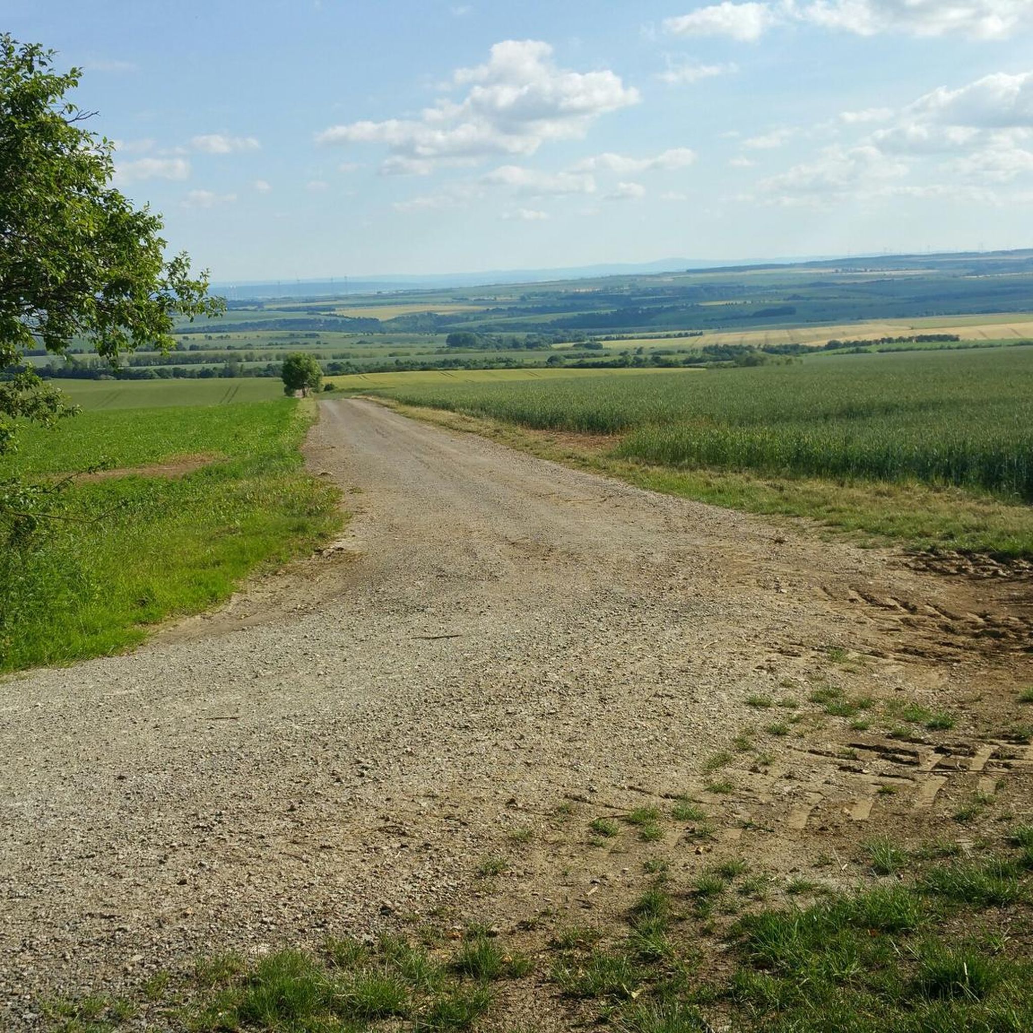
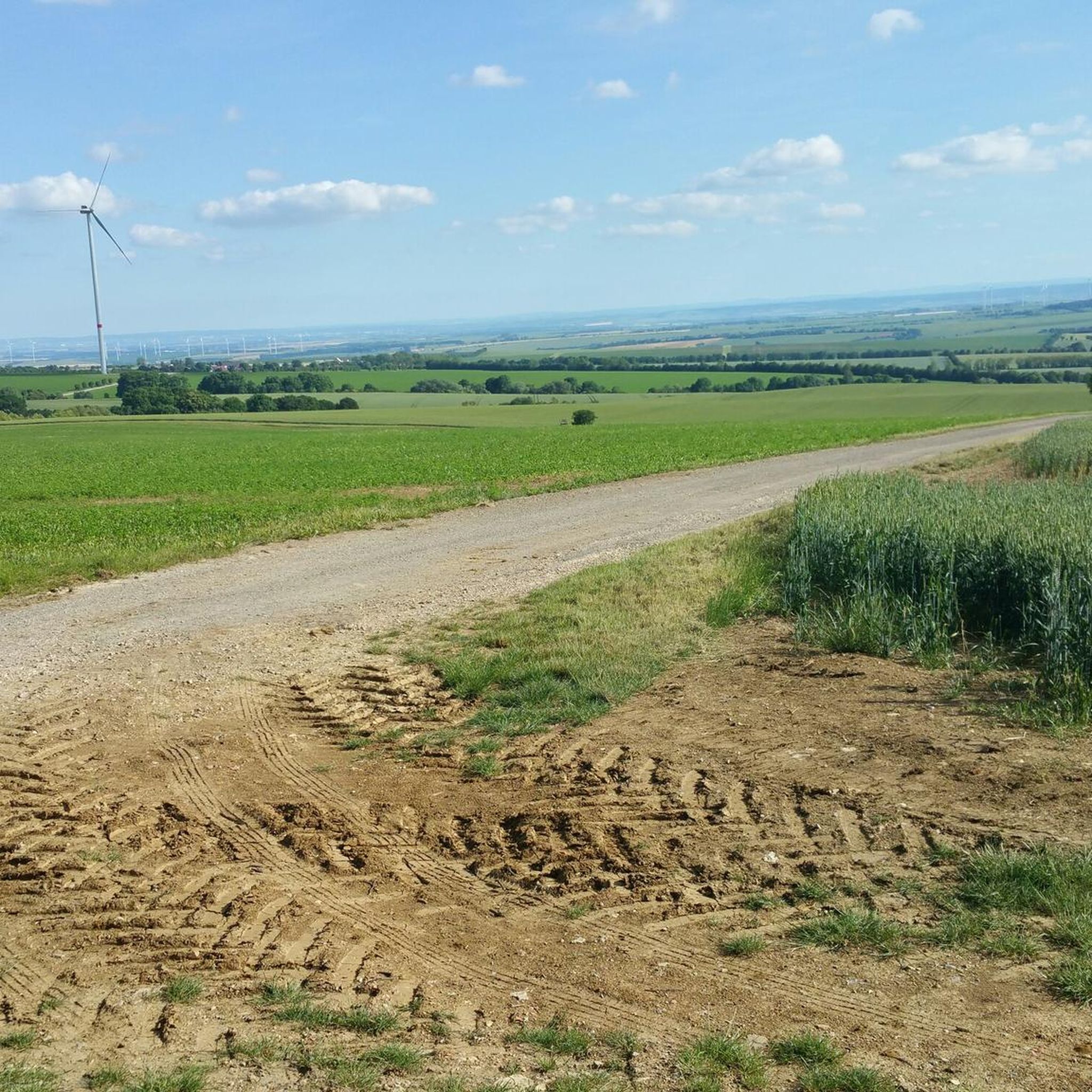
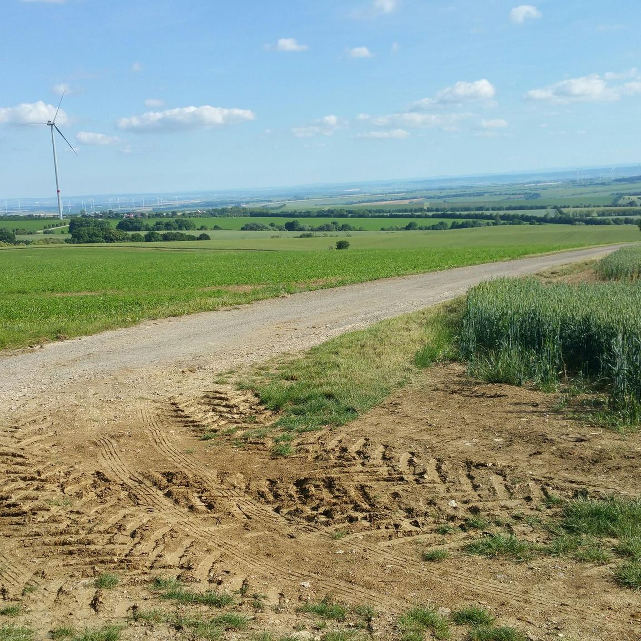
From here you have a great view of Sondershausen.
0
0

From here you have a very good view into the distance
0
0
you should definitely go up there, the view is great
0
0
perfect for a rest
0
0

All kinds of distractions for young and old.
5
0

When we finally arrived at the roundabout, we were amazed and delighted by the magnificent view. The Sondershausen roundabout is a semicircular structure built in 1910, with a World War II memorial dedicated in 1929, located on the Hainleite ridge. Located at 390 meters above sea level, it serves as a vantage point, including views of Sondershausen's town center and the Harz Mountains.
8
0

Popular observation tower. Climbable. Highest half-timbered observation tower in Europe. Good views. A box of Touringen stamps is located on the tower.
0
0

The Possenturm (location) is considered the oldest and tallest half-timbered observation tower in Europe. The observation tower was built in 1781 within 11 months and stands on a quarry stone base. The tower's height measures 42.18 m. It also served as a landmark in the surveying of the Schwarzburg region. Hikers could also see the Possenturm from the highest mountain in the Harz Mountains, the Brocken, from the "tower of the inn," "sometimes with, sometimes without a telescope." If you "turn right [...] you can see the ruins of Kyffhausen Castle in the Golden Meadows, the Possenturm near Sondershausen, and the Ettersberg near Weimar," according to Friedrich Gottschalck's 1823 pocketbook for travelers to the Harz Mountains. Source: Wikipedia
8
0
Frequently Asked Questions
How many gravel bike trails are available around Großenehrich?
There are 7 gravel bike routes documented around Großenehrich on komoot, offering a mix of moderate and difficult options for exploration.
What is the overall difficulty level of gravel biking in Großenehrich?
The gravel bike trails around Großenehrich range from moderate to difficult. You'll find 5 moderate routes and 2 more challenging options, often featuring significant elevation gain and varied terrain.
Are there any easy gravel bike routes suitable for beginners near Großenehrich?
While there are no routes explicitly classified as 'easy,' several moderate trails are available that might suit beginners looking for a challenge. For example, the View of Sondershausen – Steep 18% Ascent loop from Jecha is a moderate 16.5 km route, though it does include a notable ascent.
What are some of the longer gravel bike routes in the Großenehrich area?
For longer rides, consider the Borntal Shelter – Unstrut-Werra Cycle Path loop from Sondershausen, which spans 41.9 km. Another option is the Unstrut-Werra Cycle Path – Seega–Göllingen Cycle Path loop from Sondershausen, a difficult 38.2 km trail.
Are there any family-friendly gravel bike trails around Großenehrich?
The routes around Großenehrich are generally classified as moderate to difficult, often involving significant elevation changes. While there are no routes specifically labeled 'family-friendly,' families with older children or those comfortable with more challenging terrain might enjoy some of the moderate loops, such as the High Ropes Course – Possenturm loop from Sondershausen.
What kind of scenery can I expect on gravel bike trails near Großenehrich?
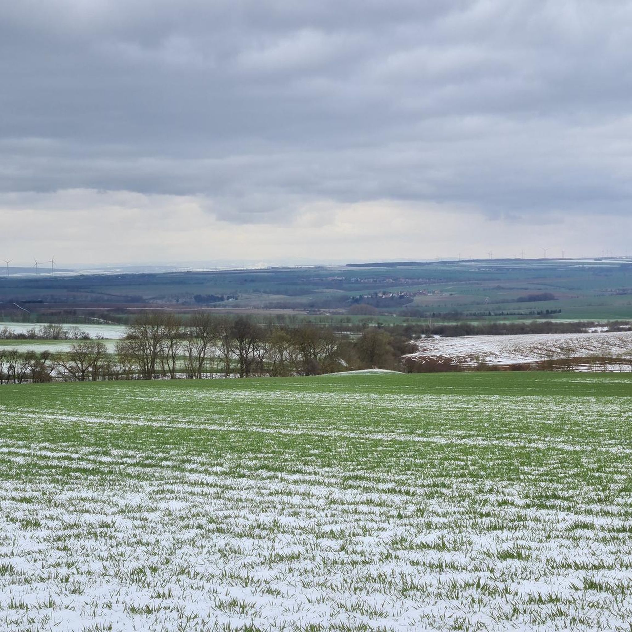
The gravel bike trails around Großenehrich offer diverse scenery, including river valleys, dense forested areas, and rolling hills. Many routes provide views towards Sondershausen and pass through the regional landscape.
Are there any circular gravel bike routes available?
Yes, all the listed gravel bike routes around Großenehrich are designed as loops. Examples include the View of Sondershausen – High Ropes Course Possen loop from Zentrum and the Unstrut-Werra Cycle Path – Seega–Göllingen Cycle Path loop from Sondershausen.
What interesting landmarks or natural attractions can I find along the gravel bike routes?
The region around Großenehrich features several natural and historical points of interest. You might encounter the Gründelsloch Karst Spring, the Hanfsee Moor, or the Barbarossa Cave. Some routes also pass by the Cleric Forest Inn Fish Ponds and Water Wheel Trail.
What do other gravel bikers say about the routes in Großenehrich?
The komoot community rates the gravel bike routes around Großenehrich highly, with an average score of 4.7 stars from several reviews. Users often appreciate the varied terrain, including river valleys and forested sections, which define the region's gravel biking experience.
Are there any cafes or places to eat along the gravel bike trails?
While specific cafes directly on every trail are not detailed, the region does have options like the Waldgaststätte Cleric, which is near some of the natural attractions and could serve as a stop during your ride.
What is the best time of year for gravel biking around Großenehrich?
Gravel biking around Großenehrich is generally enjoyable throughout the warmer months, from spring to autumn, when the trails are dry and the forested areas are vibrant. The varied terrain, including river valleys and hills, can be particularly scenic during these seasons.
Most popular attractions around Großenehrich

Get inspired with the komoot mobile app


Explore more
Browse the best Gravel rides in other regions.
