The best walks and hikes around Großenehrich
4.6
(1763)
5,772
hikers
567
hikes
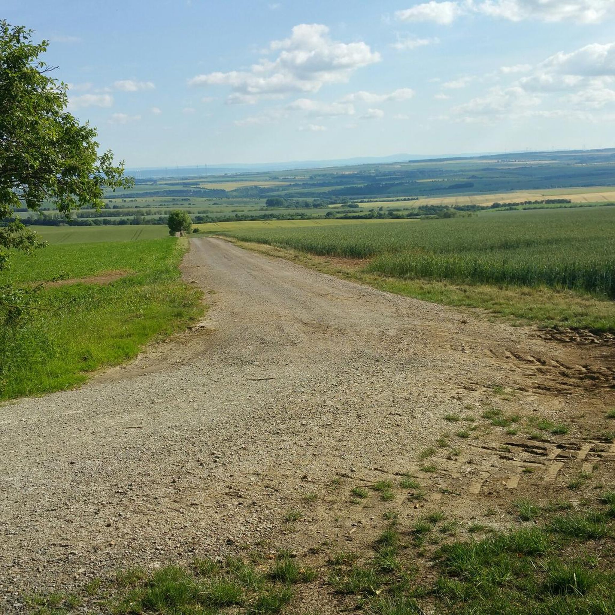
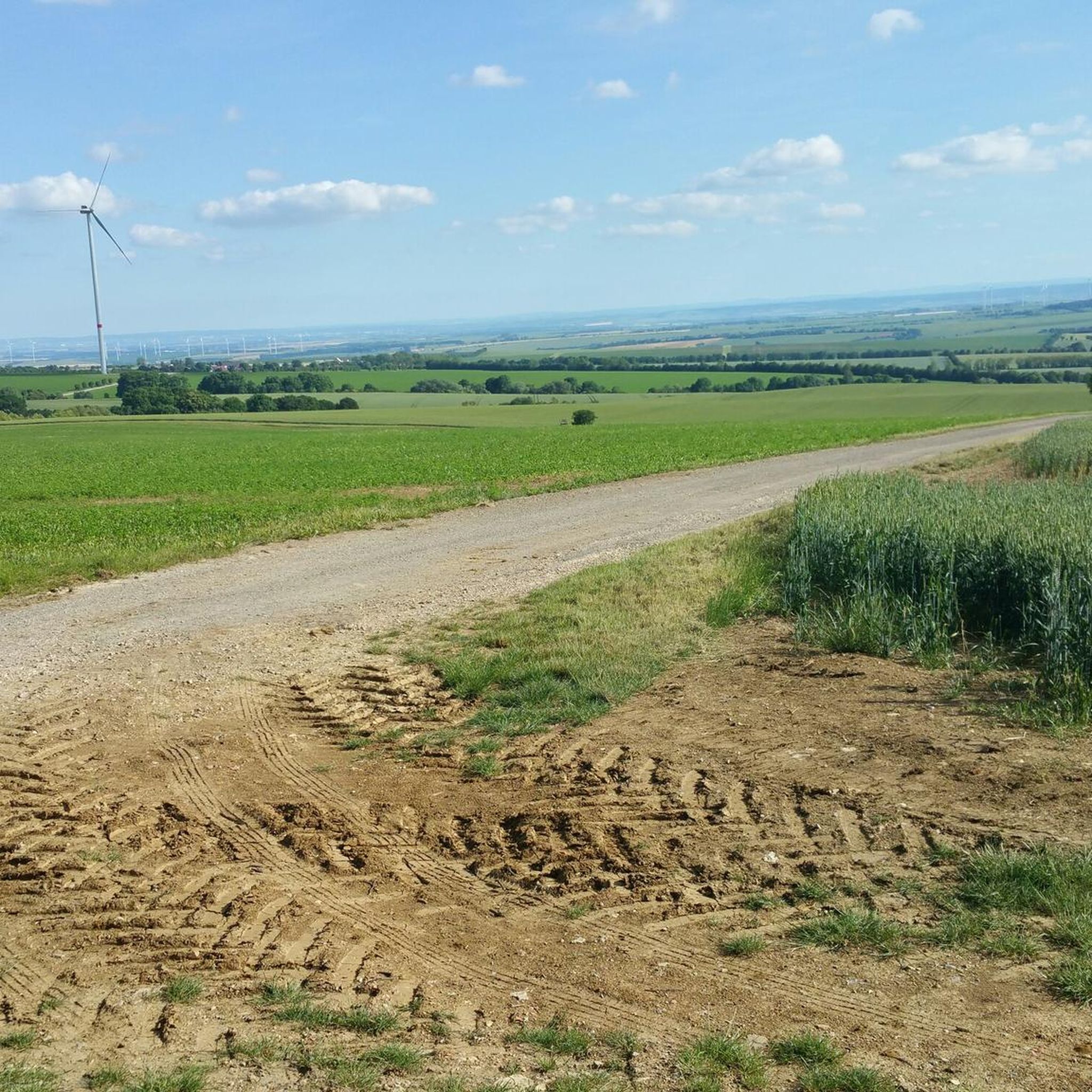
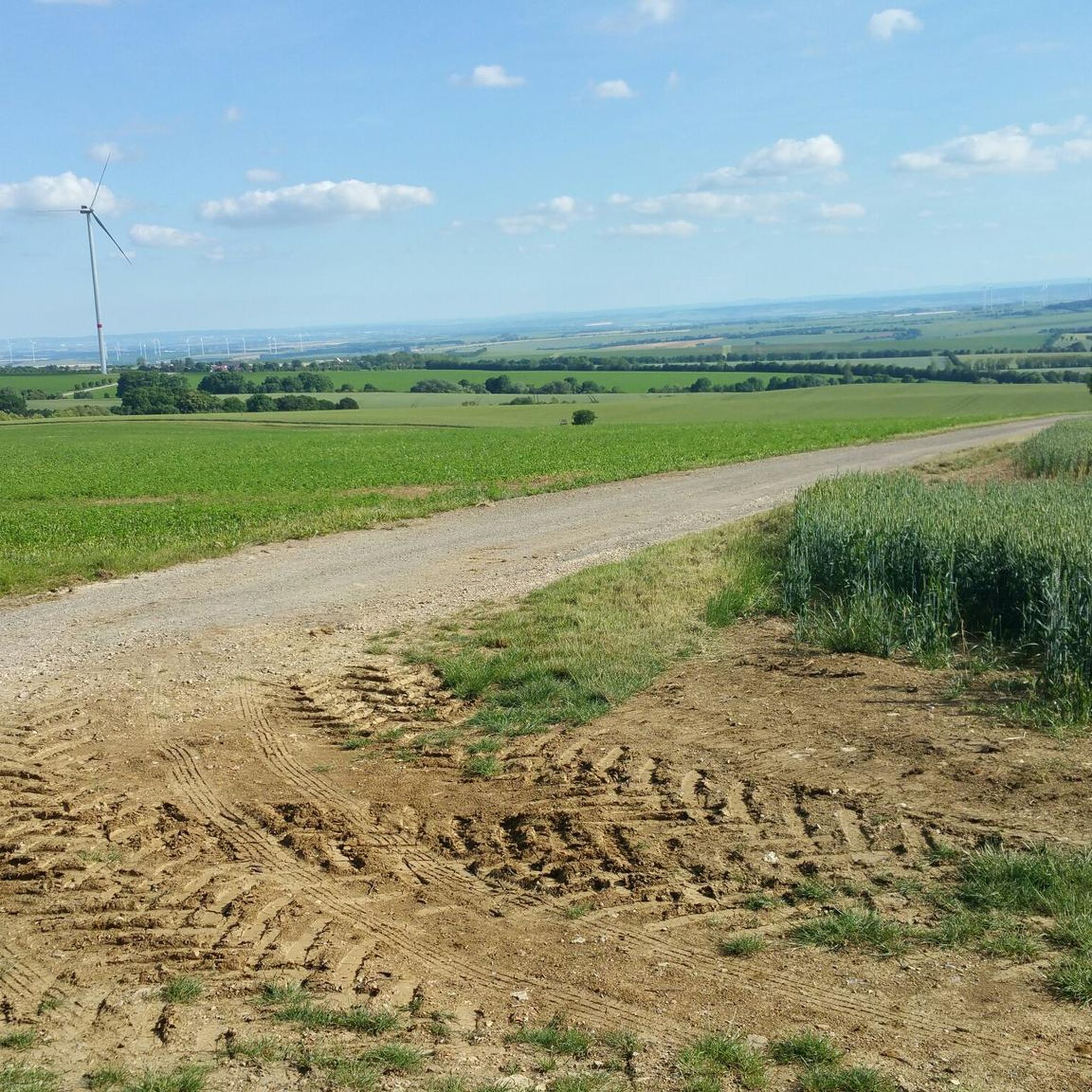
Hiking around Großenehrich offers access to a diverse landscape in the Kyffhäuserkreis district of Thuringia. The region is characterized by the romantic Mühltal, a forested valley traversed by the Bennebach stream, and is situated on a Keuper plateau with distinct Muschelkalk formations. Farmland hills, avenues, orchards, and field groves create a varied environment for outdoor activities. This area provides a mix of local walks and serves as a gateway to broader Thuringian hiking networks.
Best hiking trails around Großenehrich
- The…
Last updated: July 1, 2026
5.0
(2)
8
hikers
14.6km
03:52
150m
150m
Moderate hike. Good fitness required. Easily-accessible paths. Suitable for all skill levels.
4.3
(4)
11
hikers
19.5km
05:10
190m
190m
Hard hike. Very good fitness required. Easily-accessible paths. Suitable for all skill levels.

Sign up for free
5.0
(1)
5
hikers
4.82km
01:15
30m
30m
Easy hike. Great for any fitness level. Easily-accessible paths. Suitable for all skill levels.
4
hikers
3.05km
00:50
50m
50m
Easy hike. Great for any fitness level. Easily-accessible paths. Suitable for all skill levels.
5.0
(1)
3
hikers
6.01km
01:41
110m
110m
Easy hike. Great for any fitness level. Easily-accessible paths. Suitable for all skill levels.
Get access to more routes and recommendations from other explorers.
Sign up for free
Already have an account?
Our route recommendations are based on thousands of hikes, rides, and runs completed by other people on komoot.
Start today with a free account
Your next adventure awaits.
Login or Signup

Tips from the Community

Quiet and historic train station.
0
0

All kinds of distractions for young and old.
5
0

An idyllic spot, ideal for a break (water, seating).
0
0

The train from Nordhausen and Erfurt stops every two hours.
1
0
I don't know where the cars are supposed to park, because a farm track runs alongside this sign, but a parking space is a parking space. (Free)
1
0

If you're looking for hustle and bustle, you've come to the right place.
11
0

Frequently Asked Questions
How many hiking trails are available around Großenehrich?
There are over 570 hiking trails around Großenehrich, offering a wide range of options from easy strolls to more challenging routes. You can find 315 easy, 231 moderate, and 27 difficult trails to explore.
What kind of landscape can I expect when hiking in Großenehrich?
Hiking in Großenehrich offers a diverse landscape. You'll encounter the romantic Mühltal, a forested valley traversed by the Bennebach stream. The region is also characterized by a Keuper plateau with distinct Muschelkalk formations, alongside picturesque farmland hills, avenues, orchards, and field groves, creating a varied and scenic environment.
What is the best time of year for hiking in Großenehrich?
The best time for hiking in Großenehrich is generally from spring through autumn (April to October), when the weather is mild and the natural landscapes are at their most vibrant. The Mühltal's forested areas are particularly beautiful during these seasons. Winter hiking is also possible, but conditions may vary.
Are there easy hiking options suitable for beginners or leisurely walks?
Yes, Großenehrich offers plenty of easy hiking options. With 315 easy routes available, you can find trails like the Grollplatz loop from Rohnstedt, which is 3.0 miles (4.8 km) and leads through farmland hills and local woodlands, perfect for a leisurely walk.
Are there any circular hiking routes in the area?
Many of the hiking routes around Großenehrich are circular, allowing you to start and end at the same point. Examples include the Wasserthaleben Station – Schäferstein loop from Wasserthaleben, which is a moderate 9.0 miles (14.6 km) path, and the shorter Funnel-Shaped Ponds – Stülpner Hut loop from Holzengel.
What natural landmarks or points of interest can I discover while hiking near Großenehrich?
Near Großenehrich, you can explore several natural landmarks. Highlights include the dramatic Steep Slope of the Wipper (Wipperdurchbruch), offering impressive views, and the Gründelsloch Karst Spring. The region's unique geology also features a Gypsum hill in the Kyffhäuser.
Are there any historical sites or caves to explore in the vicinity?
Yes, the area around Großenehrich is rich in historical and geological interest. You can visit the famous Barbarossa Cave, a significant natural monument. Additionally, the Steinrinne Bilzingsleben Archaeological Site offers insights into ancient history.
What do other hikers appreciate most about the trails in Großenehrich?
The trails in Großenehrich are highly rated by the komoot community, with an average score of 4.6 stars from over 1,600 reviews. Hikers often praise the varied terrain, from the quiet forested areas of the Mühltal to the open farmland hills, and the well-maintained paths that cater to different fitness levels.
Are the hiking trails around Großenehrich suitable for families with children?
Yes, many trails around Großenehrich are suitable for families. The easy and moderate routes, particularly those through the Mühltal or shorter loops like the Grollplatz loop from Rohnstedt, are great for outings with children. The diverse landscape with streams and woodlands provides an engaging environment for younger hikers.
Can I bring my dog on the hiking trails in Großenehrich?
Generally, dogs are welcome on most hiking trails in Großenehrich. It's always advisable to keep your dog on a leash, especially in agricultural areas or near wildlife, and to respect local regulations. The varied terrain and natural surroundings offer a great experience for you and your canine companion.
Are there options for longer or more challenging hikes in the region?
For those seeking longer or more challenging hikes, Großenehrich offers several options. The Cheetah Enclosure – Zum Possen Hunting Lodge loop from Kirchengel is a difficult 12.1 miles (19.5 km) trail that takes over 5 hours to complete, providing a more demanding experience with significant elevation changes.
How can I access hiking trails in Großenehrich using public transport?
While specific public transport links directly to trailheads within Großenehrich might be limited, the town's location within Thuringia means you can often reach starting points via regional bus services or by combining train and bus travel to nearby villages. It's recommended to check local transport schedules for the most up-to-date information.
Are there any larger national parks or extensive hiking networks accessible from Großenehrich?
Yes, Großenehrich serves as a gateway to more extensive hiking destinations in Thuringia. The Hainich National Park, a UNESCO World Heritage site known for its ancient beech forests, is within reach and offers over 120 km of well-marked paths. The Thuringian Forest also provides a vast network of premium hiking trails for more extensive adventures.
Most popular attractions around Großenehrich

Get inspired with the komoot mobile app


Explore more
Browse the best Hikes in other regions.
