The best gravel rides around Brunsleberfeld
4.6
(32)
141
riders
35
rides
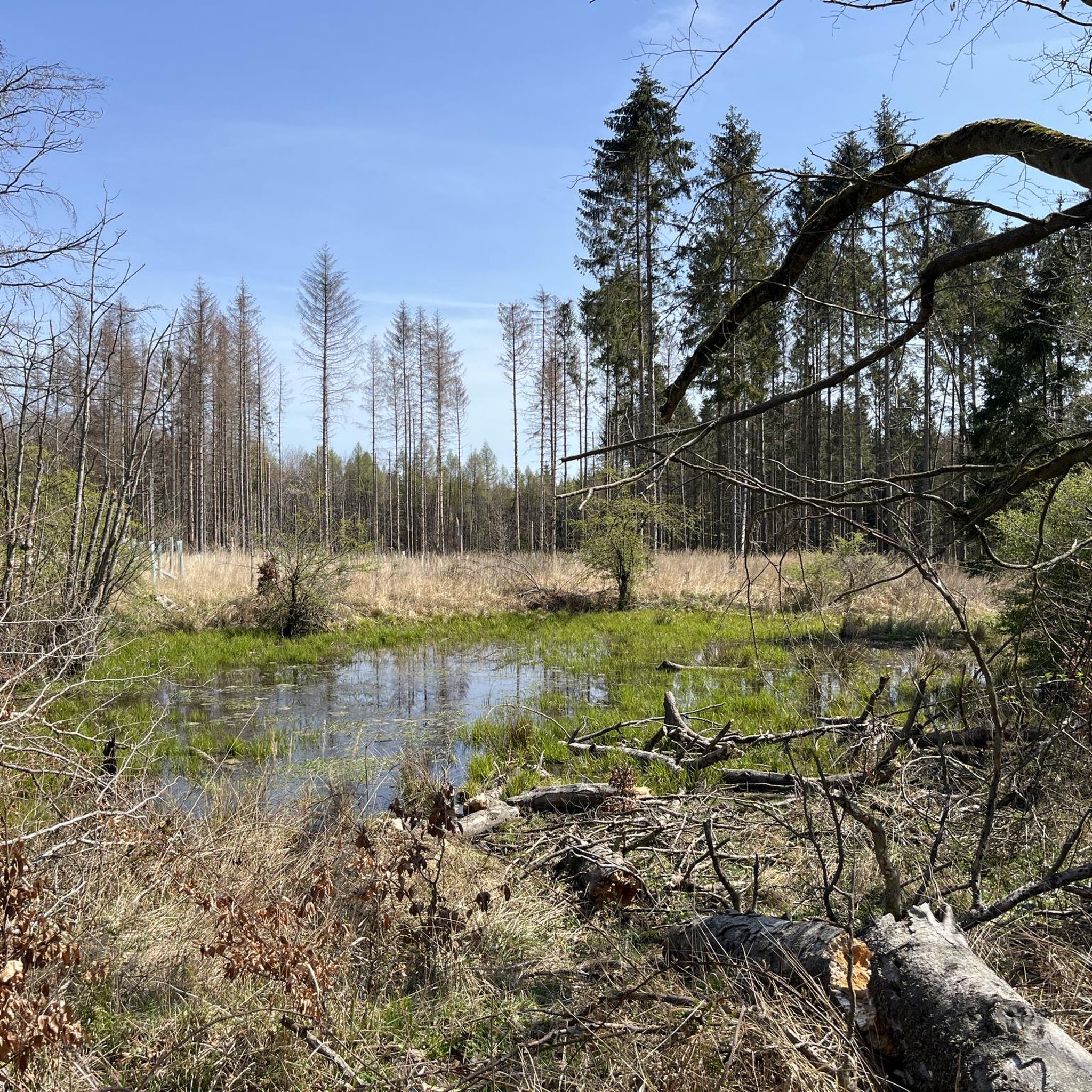
Gravel biking around Brunsleberfeld offers a diverse landscape for riders. The region features a mix of forested areas, open valleys like the Reitlingstal and Tiefenbach Valley, and scenic viewpoints. Riders can expect varied terrain, including paths near lakes such as Lappwald Lake and routes that traverse local hills. The area provides a range of gravel bike trails suitable for different skill levels.
Best gravel bike trails around Brunsleberfeld
- The most popular gravel bike trail is Reitlingstal Restaurant – Tetzelstein loop…
Last updated: July 3, 2026
4.0
(2)
10
riders
39.4km
02:43
660m
660m
Hard gravel ride. Very good fitness required. Mostly paved surfaces. Suitable for all skill levels.
5.0
(4)
11
riders
48.6km
02:58
570m
570m
Hard gravel ride. Very good fitness required. Mostly paved surfaces. Suitable for all skill levels.

Sign up for free
6
riders
Moderate gravel ride. Good fitness required. Mostly paved surfaces. Suitable for all skill levels.
4.5
(4)
4
riders
79.5km
04:50
720m
720m
Hard gravel ride. Very good fitness required. You may need to push your bike for some segments of this route.
4.6
(5)
11
riders
26.5km
01:27
170m
160m
Moderate gravel ride. Good fitness required. Mostly paved surfaces. Suitable for all skill levels.
Get access to more routes and recommendations from other explorers.
Sign up for free
Already have an account?
Our route recommendations are based on thousands of hikes, rides, and runs completed by other people on komoot.
Start today with a free account
Your next adventure awaits.
Login or Signup
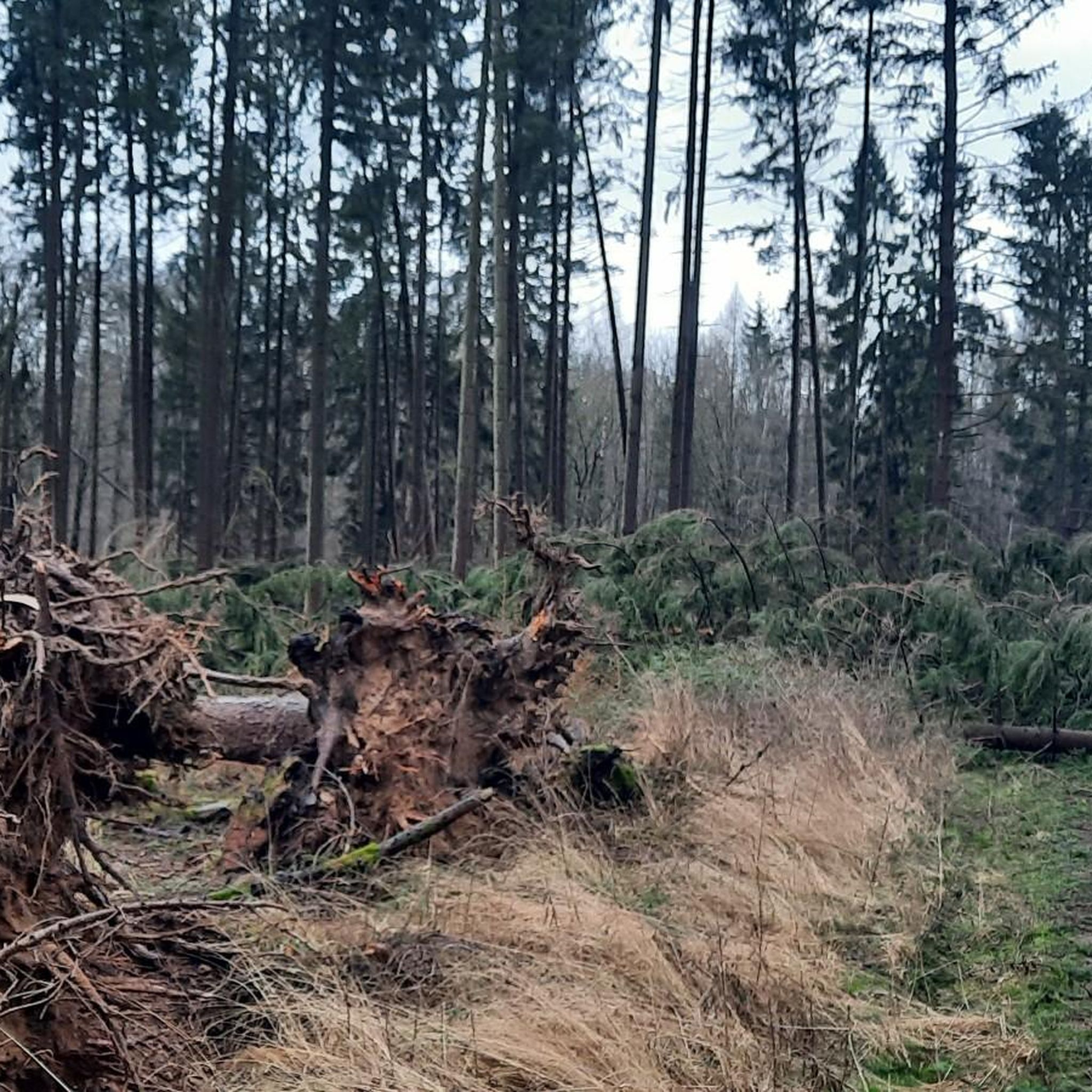
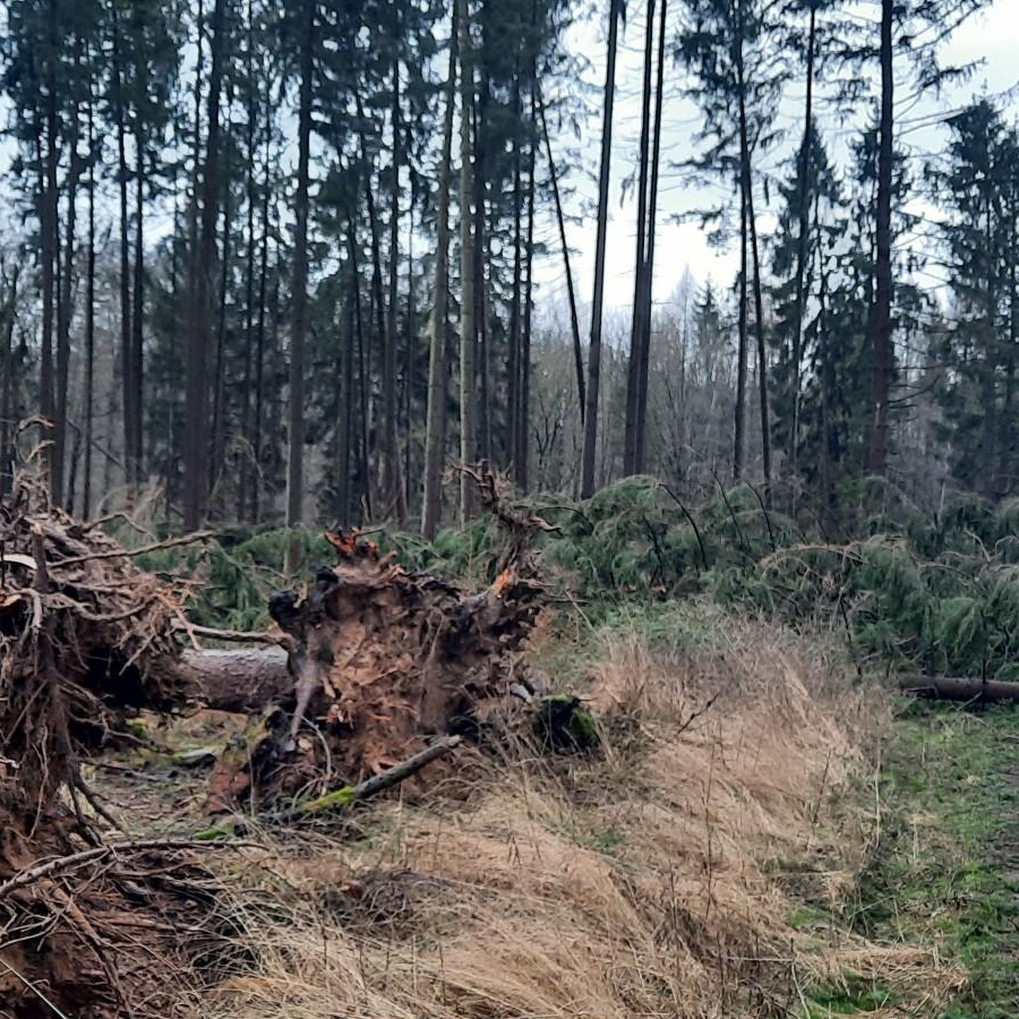
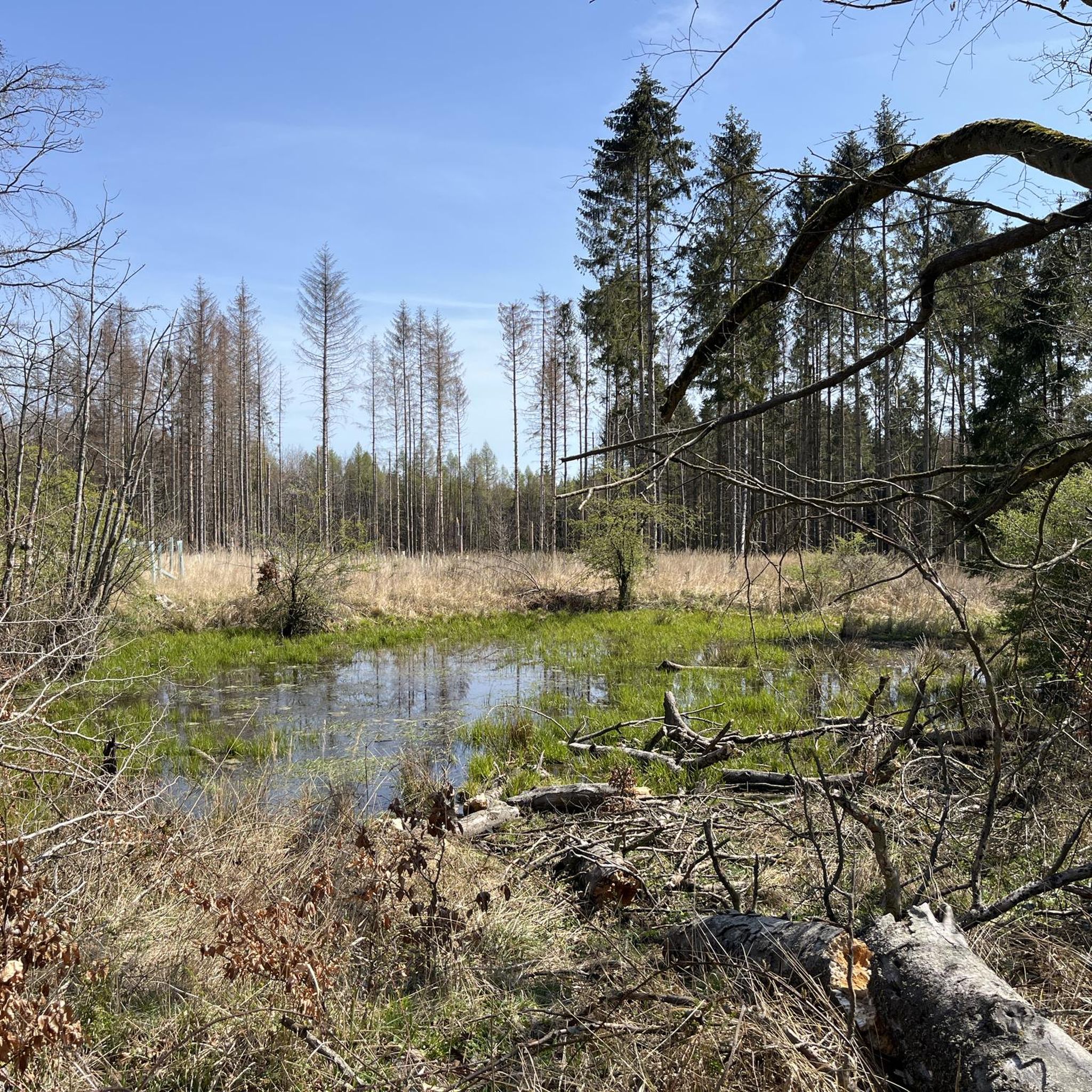
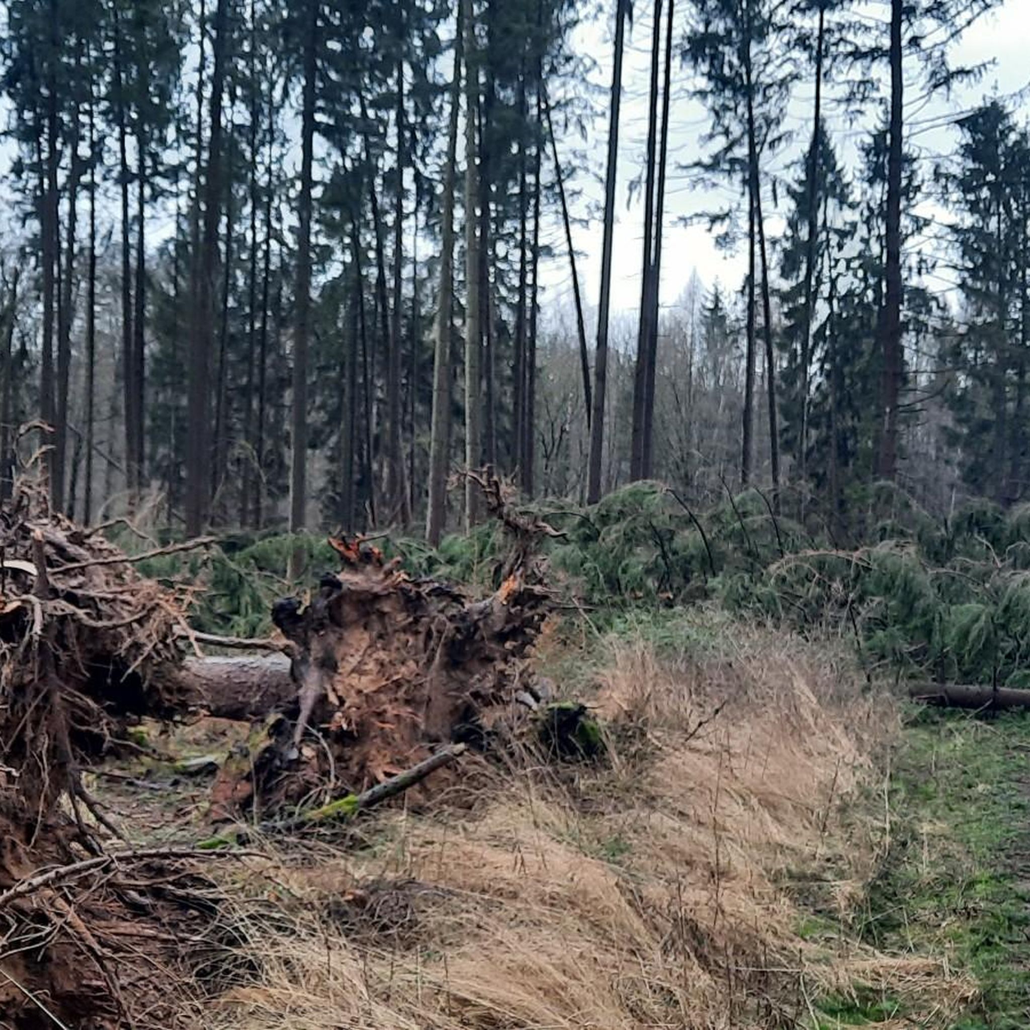
Tips from the Community

Short but brutal climb. On the Garmin, the gradient here tears up to 16 percent in between. Great fun and wonderful rolling at the top
0
0

A truly amazing highlight. A quick photo stop is worth it.
0
0
A truly amazing highlight. A quick photo stop is worth it.
0
0
A very nice highlight.
0
0

A view like in the Allgäu
0
0

A few meters high in the flatland
0
0


You discover new impressive images of the increasing lake water level... it grows and grows and it is very interesting how everything changes! 💧💧
28
0
Frequently Asked Questions
What is the general difficulty level of gravel bike trails in Brunsleberfeld?
Brunsleberfeld offers a varied landscape with gravel bike trails ranging from moderate to difficult. You'll find 21 moderate routes and 16 difficult routes, ensuring options for different skill levels. There are also 3 easier routes available for those looking for a less challenging ride.
What are the typical lengths of gravel bike routes in Brunsleberfeld?
The gravel bike routes in Brunsleberfeld vary significantly in length. For example, the Reitlingstal Restaurant – Königslutter Imperial Cathedral loop from Königslutter am Elm is about 11.5 miles (18.6 km), while the View of the Tiefenbach Valley – Tetzelstein loop from Königslutter extends to 31.1 miles (50.1 km).
Are there family-friendly gravel bike routes in Brunsleberfeld?
Yes, Brunsleberfeld does offer some easier gravel bike routes suitable for families or beginners. While many routes are moderate to difficult, there are 3 designated easy tours available. These routes typically feature less elevation gain and shorter distances, providing a more relaxed experience.
What options are available for experienced gravel bikers in Brunsleberfeld?
Experienced gravel bikers will find plenty of challenging options in Brunsleberfeld, with 16 difficult routes available. Routes like the Reitlingstal Restaurant – Tetzelstein loop from Königslutter, at 24.5 miles (39.4 km) with significant elevation, offer a demanding ride through the region's valleys and forests.
When is the best time of year for gravel biking in Brunsleberfeld?
Brunsleberfeld's diverse landscape, with its forests, valleys, and lakes, makes it enjoyable for gravel biking throughout much of the year. Spring and autumn generally offer pleasant temperatures and beautiful scenery. Summer is also suitable, though some routes might be more exposed to sun. Winter conditions can vary, so checking trail conditions beforehand is advisable.
Are there any gravel bike routes that form a loop in Brunsleberfeld?
Yes, many of the gravel bike routes in Brunsleberfeld are designed as loops, allowing you to start and end at the same point. Examples include the Bridge Over the Schunter – Lappwald Lake loop from Warberg and the View of Wobeck and the Brocken – View of the Harz loop from Warberg.
What kind of views or viewpoints can I expect on gravel bike trails in Brunsleberfeld?
Gravel bike trails in Brunsleberfeld often provide expansive views over the region's valleys and natural landscapes. Routes like the View of the Tiefenbach Valley – Tetzelstein loop from Königslutter are specifically known for their scenic vistas. You can also find highlights like the Eilumer Horn Summit Cross offering panoramic outlooks.
What do other gravel bikers enjoy the most about gravel biking in Brunsleberfeld?
The gravel biking experience in Brunsleberfeld is highly rated by the komoot community, with an average score of 4.6 stars from over 25 reviews. Riders often praise the diverse terrain, which includes a mix of forested areas, open valleys, and routes near lakes, providing a varied and engaging ride.
Are there any natural attractions or landmarks along the gravel bike routes?
Yes, Brunsleberfeld is rich in natural attractions and landmarks. You can encounter highlights such as the Abbot Fabricius Spring (Lutterspring) and the Lutter Waterfall and Great Pond. The region also features several peaks like Kiefelhorn and Großer Tafelberg.
How many gravel bike trails are available in Brunsleberfeld?
There are approximately 40 gravel bike trails available in Brunsleberfeld, offering a wide selection for riders. These routes traverse the region's diverse landscape, including forested areas, open valleys, and scenic spots near lakes.
Are there any facilities or rest areas along the gravel bike trails?
While specific facilities vary by route, you can find points of interest such as the Rest Area at Honigkuchengrund. Many routes also pass through or near towns like Königslutter and Warberg, where additional amenities may be available.
Most popular attractions around Brunsleberfeld

Get inspired with the komoot mobile app


Explore more
Browse the best Gravel rides in other regions.
