The best walks and hikes around Brunsleberfeld
4.6
(7538)
26,076
hikers
885
hikes
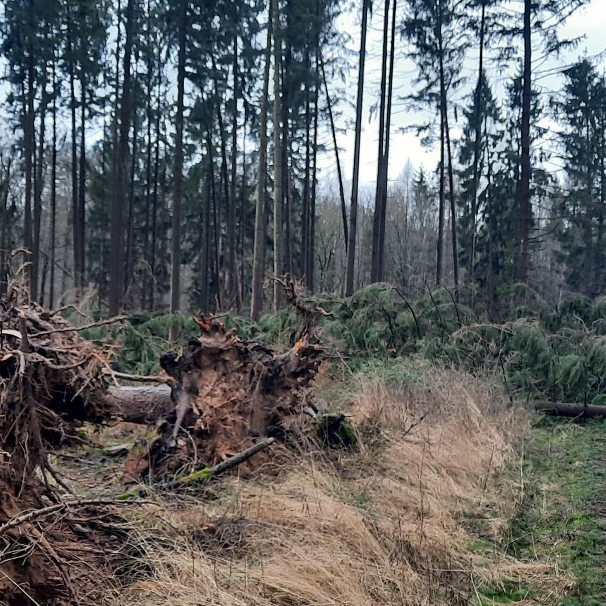
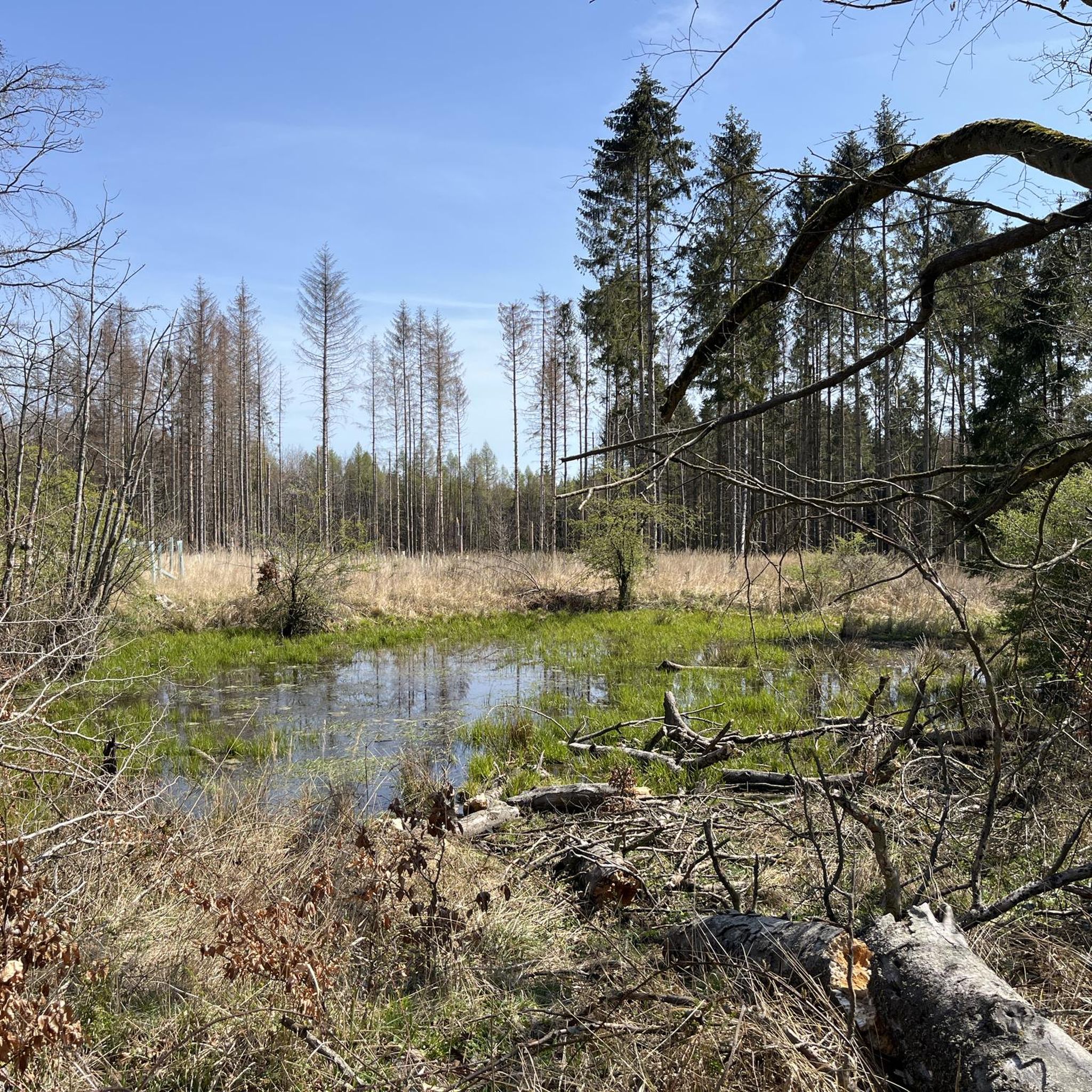
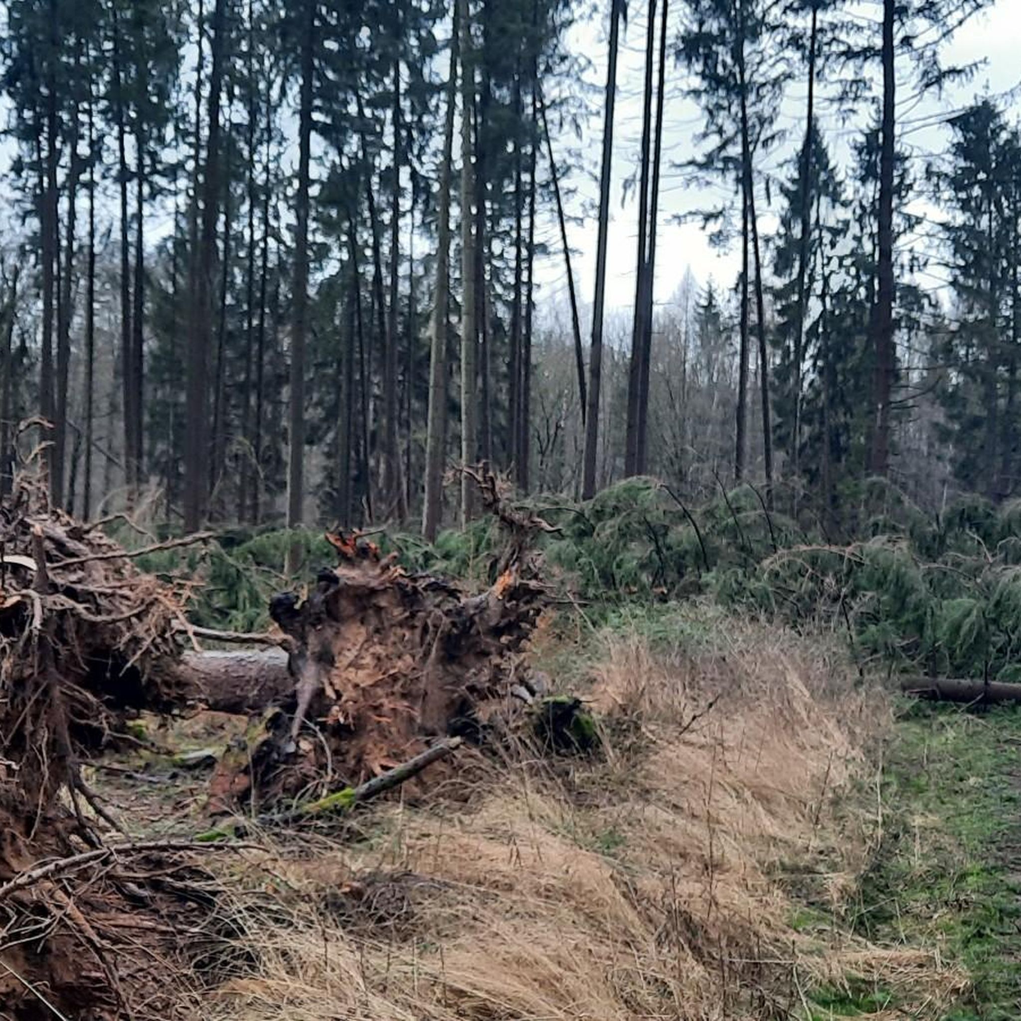
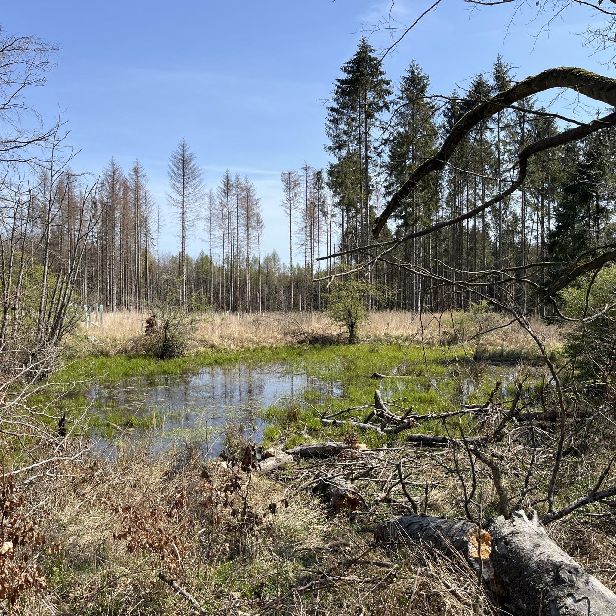
Hiking around Brunsleberfeld offers diverse trails within eastern Lower Saxony, framed by the towns of Schöningen, Schöppenstedt, and Königslutter am Elm. The region is characterized by the Elm, Northern Germany's largest beech forest, providing extensive woodland paths. The landscape also features the source of the Schunter River, contributing to varied terrain suitable for different hiking experiences.
Best hiking trails around Brunsleberfeld
- The most popular hiking route is Schuntersee – Schunter Spring loop from Brunsleberfeld, a 5.7 miles (9.2 km)…
Last updated: August 20, 2026
4.4
(22)
78
hikers
9.21km
02:27
90m
100m
Moderate hike. Good fitness required. Easily-accessible paths. Suitable for all skill levels.
4.5
(11)
54
hikers
10.3km
02:47
140m
140m
Moderate hike. Good fitness required. Easily-accessible paths. Suitable for all skill levels.

Sign up for free
4.4
(15)
44
hikers
14.7km
03:54
140m
140m
Moderate hike. Good fitness required. Easily-accessible paths. Suitable for all skill levels.
4.7
(6)
32
hikers
4.11km
01:05
30m
30m
Easy hike. Great for any fitness level. Easily-accessible paths. Suitable for all skill levels.
4.3
(9)
21
hikers
2.85km
00:46
30m
30m
Easy hike. Great for any fitness level. Easily-accessible paths. Suitable for all skill levels.
Get access to more routes and recommendations from other explorers.
Sign up for free
Already have an account?
Our route recommendations are based on thousands of hikes, rides, and runs completed by other people on komoot.
Start today with a free account
Your next adventure awaits.
Login or Signup

Tips from the Community

A beautiful and well-maintained place. Is recommendable
2
0
First, take a walk around and later have a picnic by the water 🧺… a great place for breaks and relaxing
2
0
It's always nice to linger and enjoy by the water! Great seating.
2
0

Finally, a shelter.
0
0

A very nice highlight.
0
0
It's worth taking a photo stop here.
0
0
Great installation. It's worth stopping here for a photo.
0
0
Frequently Asked Questions
What kind of terrain can I expect when hiking around Brunsleberfeld?
Brunsleberfeld is nestled within the Elm, Northern Germany's largest beech forest, so you can expect extensive woodland paths. The landscape also features the source of the Schunter River and offers varied terrain, including moderate ascents, suitable for different hiking experiences.
Are there many hiking trails available in Brunsleberfeld?
Yes, Brunsleberfeld boasts an extensive network of hiking trails. There are nearly 900 routes recorded, offering options for various durations, lengths, and difficulty levels, from easy strolls to more challenging routes.
Are there any easy hiking routes suitable for beginners or a relaxed walk?
Absolutely. For an easy and pleasant walk, consider the Schunter Spring – Schuntersee loop from Brunsleberfeld. This route is about 4.1 km long and takes just over an hour to complete, offering a gentle exploration of the area.
What are some notable natural features or landmarks to look out for on the trails?
A prominent natural feature is the source of the Schunter River, located above Räbke. You can explore this area on routes like the Schunter Spring loop from Brunsleberfeld. Additionally, the region is defined by the vast Elm beech forest, offering beautiful woodland scenery.
Are there any circular hiking routes in the Brunsleberfeld area?
Many of the trails in Brunsleberfeld are designed as loops, providing convenient circular walks. For example, the Schunter Spring – Schuntersee loop from Brunsleberfeld is an easy option, while the Schunter Spring – Old Warberg Castle Ruins loop from Brunsleberfeld offers a longer, moderate challenge.
What do other hikers say about the trails in Brunsleberfeld?
The routes in Brunsleberfeld are highly rated by the komoot community, with an average score of 4.6 stars from over 6600 reviews. Hikers often praise the diverse terrain, the beauty of the beech forests, and the well-maintained paths.
Are there any interesting historical sites or attractions near the hiking trails?
Yes, the area offers several points of interest. You can find the Hagen Monument at the Tetzelstein, which is featured on some routes. Other nearby attractions include the historic Lucklum Manor and the impressive Königslutter Imperial Cathedral.
Are there places to stop for a break or shelter along the trails?
Yes, there are several huts and shelters available. You might come across the Karl-May Valley Shelter and Stamp Station 5 or the Franz Bachmann Hut. These provide good spots for a rest during your hike.
What is the best time of year to go hiking in Brunsleberfeld?
Given that Brunsleberfeld is home to Northern Germany's largest beech forest, autumn is a particularly beautiful time to visit, with vibrant foliage. However, the varied terrain and extensive trail network make it suitable for hiking throughout much of the year, offering different charms in each season.
Are there options for shorter hikes in Brunsleberfeld?
Certainly. If you're looking for a shorter excursion, the Schunter Spring loop from Brunsleberfeld is an excellent choice. It's approximately 2.8 km long and can be completed in about 45 minutes, perfect for a quick nature escape.
Are there any challenging hiking routes for experienced hikers?
While many routes are easy to moderate, the region does offer more challenging options. With 37 difficult routes available, you can find trails with greater distances and elevation changes to test your endurance within the Elm forest.
Where are common starting points for hikes in Brunsleberfeld?
A recognized hub for outdoor enthusiasts and a common starting point for several hikes is the excursion restaurant 'Zur Schunterquelle' above Räbke. Many trails begin or pass through this area, making it a convenient access point.
Most popular attractions around Brunsleberfeld

Get inspired with the komoot mobile app


Explore more
Browse the best Hikes in other regions.
