The best gravel rides around Benshausen
4.1
(14)
140
riders
34
rides
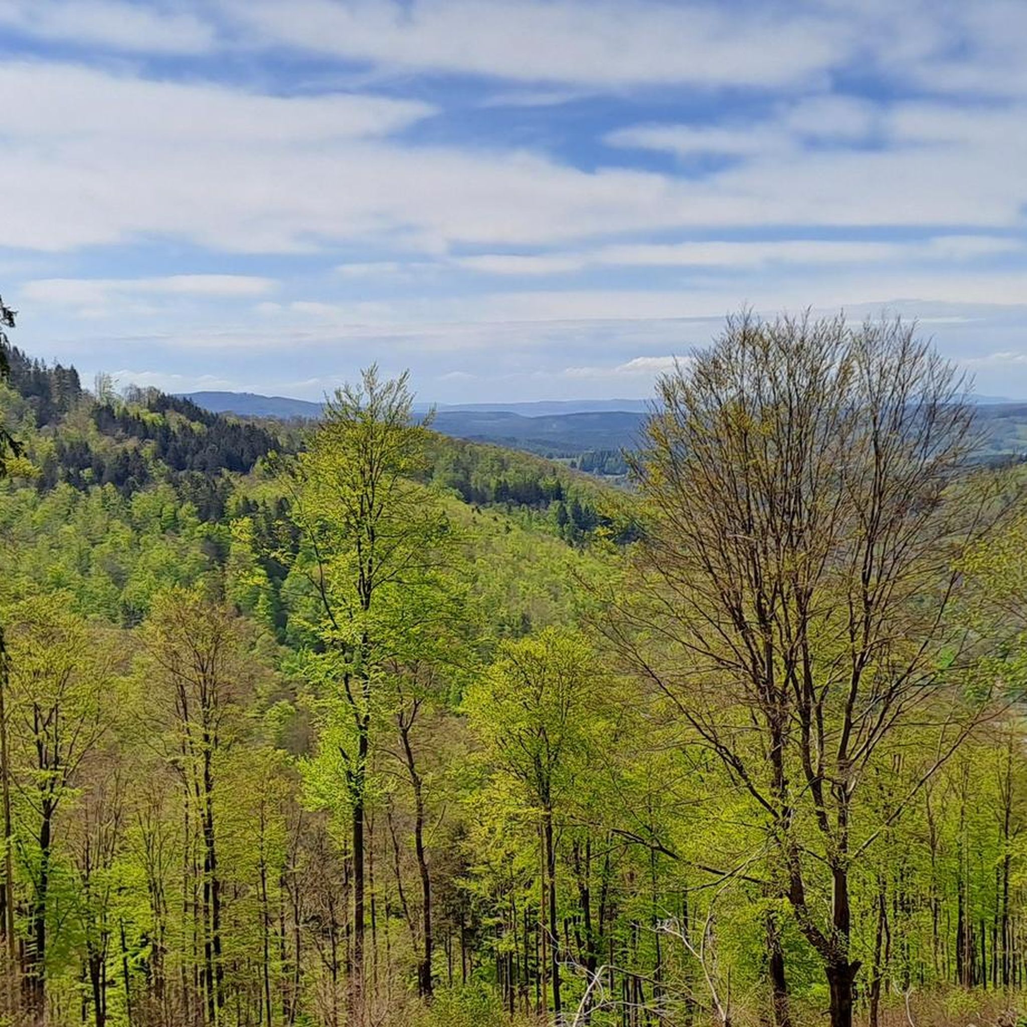
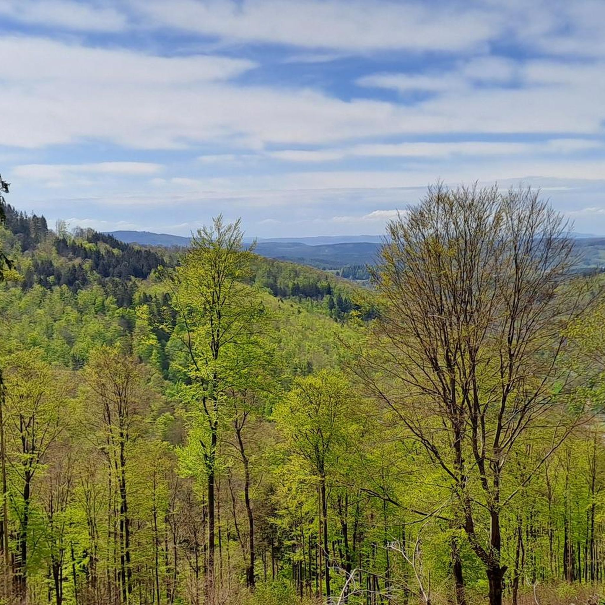
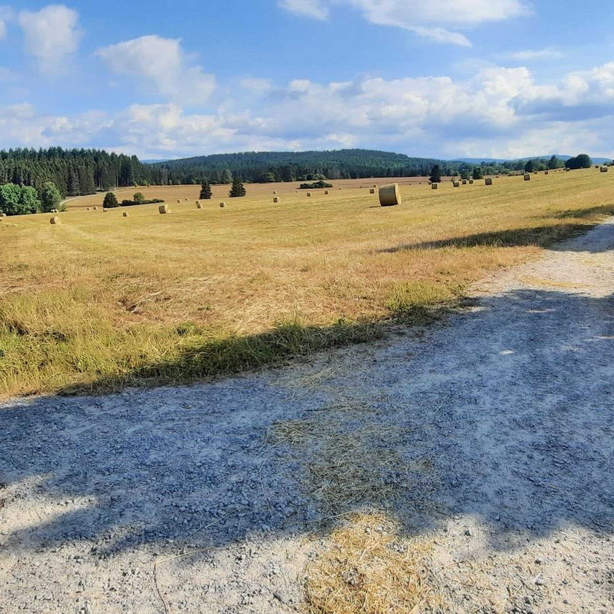
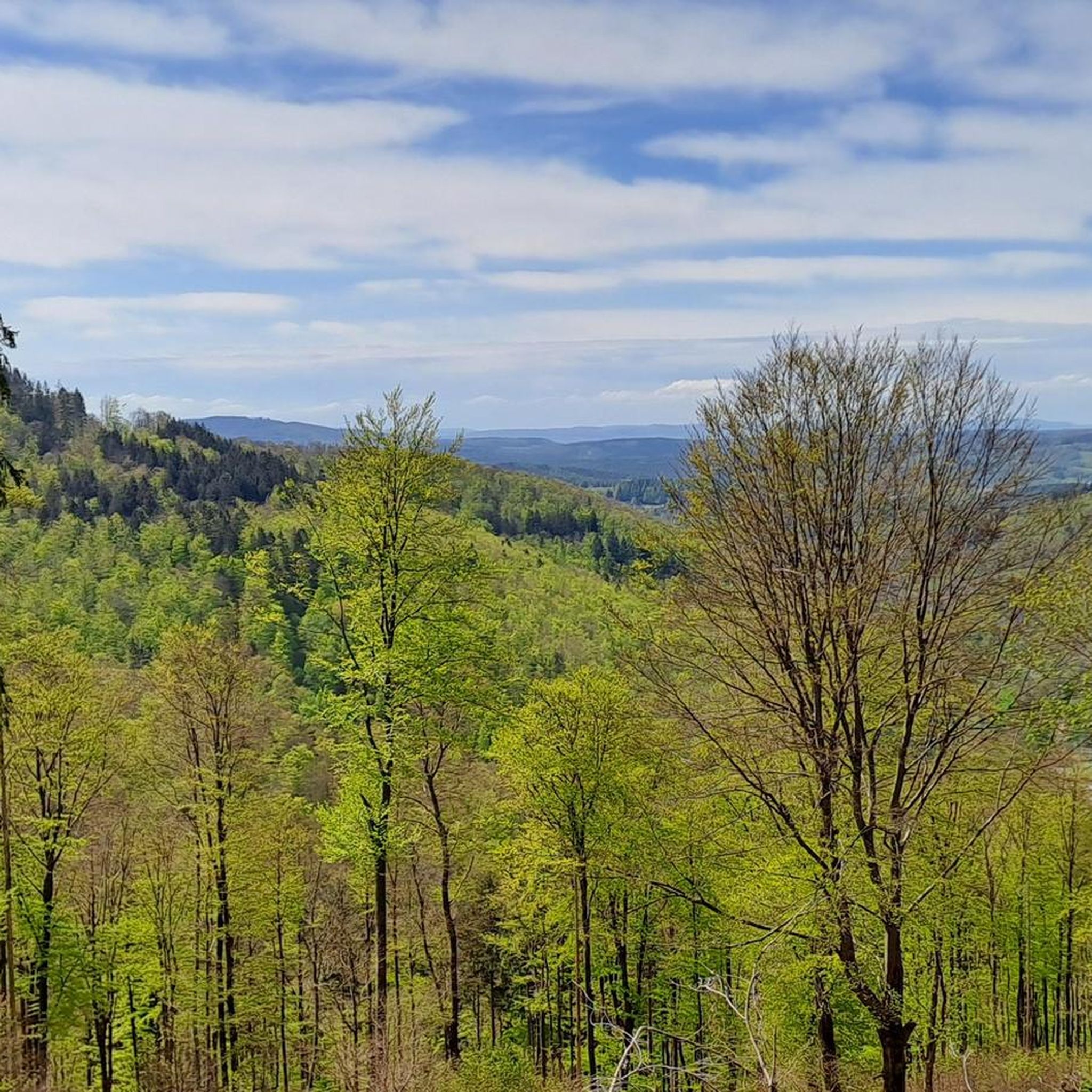
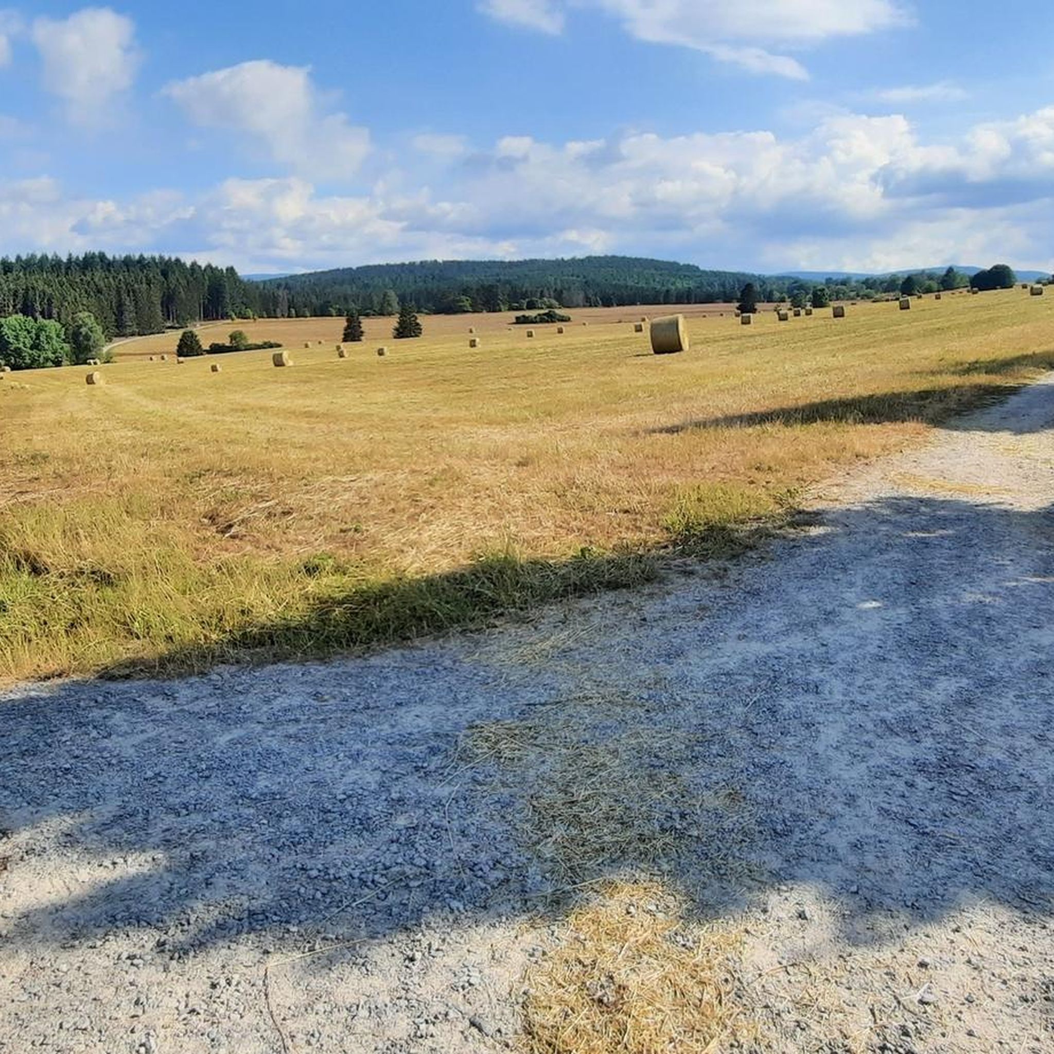
Gravel biking around Benshausen offers access to the diverse landscapes of the Thuringian Forest, a low mountain range characterized by extensive forests and varied terrain. The region features rolling hills, steep valleys, and natural paths, providing a mix of surfaces for engaging rides. Cyclists can expect routes with challenging climbs and scenic trails, with some sections requiring significant fitness. The area is situated on the southern slope of the Thuringian Forest, nestled in the Lichtenau valley, and borders the Bunter…
Last updated: July 2, 2026
5.0
(5)
31
riders
38.8km
02:44
850m
850m
Hard gravel ride. Very good fitness required. Mostly paved surfaces. Suitable for all skill levels.
3.0
(2)
23
riders
Moderate gravel ride. Good fitness required. Mostly paved surfaces. Suitable for all skill levels.

Sign up for free
4.5
(2)
19
riders
35.9km
02:34
730m
730m
Hard gravel ride. Very good fitness required. Mostly paved surfaces. Suitable for all skill levels.
4
riders
67.2km
04:44
1,070m
1,070m
Hard gravel ride. Very good fitness required. Mostly paved surfaces. Suitable for all skill levels.
3.0
(1)
9
riders
32.9km
02:24
680m
680m
Hard gravel ride. Very good fitness required. Mostly paved surfaces. Suitable for all skill levels.
Get access to more routes and recommendations from other explorers.
Sign up for free
Already have an account?
Our route recommendations are based on thousands of hikes, rides, and runs completed by other people on komoot.
Start today with a free account
Your next adventure awaits.
Login or Signup
Tips from the Community

It's a great place for hiking.
0
0

Large intersection with many small roads.
1
0


On the Rennsteig cycle path to the Bierfleck crossroads, there are a variety of options for one destination!
1
0

Wonderfully long descent to Hirschbach with beautiful views 🚵👍🙂
1
0

Interesting to experience the arena at a different time of year and to cycle parts of it 😂👍
1
0

Frequently Asked Questions
How many gravel bike trails are available around Benshausen?
Benshausen offers a network of over 40 gravel bike trails, catering to various skill levels. You'll find a diverse range of routes, from moderate forest paths to challenging climbs with significant elevation gain.
What is the typical terrain like for gravel biking in Benshausen?
The terrain around Benshausen is characterized by the diverse landscapes of the Thuringian Forest. Expect a mix of firm forest roads, natural paths, and some paved sections. Routes often feature rolling hills, steep valleys, and extensive spruce and beech forests, providing varied and engaging rides.
Are there any challenging gravel routes for experienced riders?
Yes, Benshausen is well-suited for experienced gravel bikers, with 31 of the 41 available routes rated as difficult. These routes often include significant elevation gains and technical sections. An example is the Highest Point of the Rennsteig – Plänckner's Viewpoint loop from Oberhof, which covers over 60 km with substantial climbing.
Can I find circular gravel bike trails in the area?
Many of the gravel bike trails around Benshausen are designed as loops, offering convenient circular routes. For instance, the moderate Wachsenrasen Stone Shelter – Gustav-Freytag-Stein Shelter loop from Schützenbergmoor is a popular circular option exploring forest paths and historic shelters.
What kind of natural features or viewpoints can I expect on the trails?
The Thuringian Forest offers numerous natural highlights and stunning viewpoints. You can ride towards significant elevations like the Schneekopf or Großer Beerberg. Notable spots include the Schneekopf Summit and Observation Tower and Plänckner's viewpoint (Großer Beerberg), which provide magnificent panoramic views. You might also encounter features like the Violet fountain or the Upper Sieglitz Pond.
Are there any historical landmarks or castles along the gravel routes?
Yes, the region around Benshausen features several historical sites and castles. While riding, you could pass by the Hallenburg Castle Ruins or the impressive Johanniterburg Kühndorf. These add a cultural dimension to your outdoor adventure.
What do other gravel bikers say about the trails in Benshausen?
The gravel biking routes in Benshausen are highly rated by the komoot community, with an average score of 4.1 stars from over 20 reviews. Many riders praise the diverse terrain, the extensive forest paths, and the scenic beauty of the Thuringian Forest.
Are there any routes that connect to the famous Rennsteig trail?
Absolutely. Benshausen benefits from its proximity to the historic Rennsteig, a long-distance ridgeway trail. Several gravel routes connect to or incorporate sections of the Rennsteig, such as the challenging Highest Point of the Rennsteig – Highest Point of the Rennsteig loop from Suhl, offering scenic views and deep woods.
What is the best time of year for gravel biking in Benshausen?
The Thuringian Forest is beautiful year-round, but spring, summer, and early autumn generally offer the most favorable conditions for gravel biking. During these seasons, the forest paths are typically dry, and the weather is pleasant for longer rides. Winter can bring snow and ice, making some routes more challenging or impassable.
Are there options for shorter or more moderate gravel rides?
Yes, while many routes are challenging, there are also 10 moderate trails available. These are great for those looking for a less strenuous ride or a shorter outing. The Wachsenrasen Stone Shelter – Gustav-Freytag-Stein Shelter loop from Schützenbergmoor is a good example of a moderate route, taking just over an hour to complete.
What kind of elevation changes can I expect on the gravel trails?
Given its location in the low mountain range of the Thuringian Forest, gravel biking around Benshausen involves significant elevation changes. Routes feature rolling hills and steep valleys, with many difficult trails including hundreds of meters of ascent. For example, the View from Goldlauter Ski Slope – Bierfleck Trail Junction loop from Suhl has over 680 meters of elevation gain.
Most popular routes around Benshausen
Most popular attractions around Benshausen

Get inspired with the komoot mobile app


Explore more
Browse the best Gravel rides in other regions.
