The best mountain hikes around Benshausen
10
hikers
4
hikes
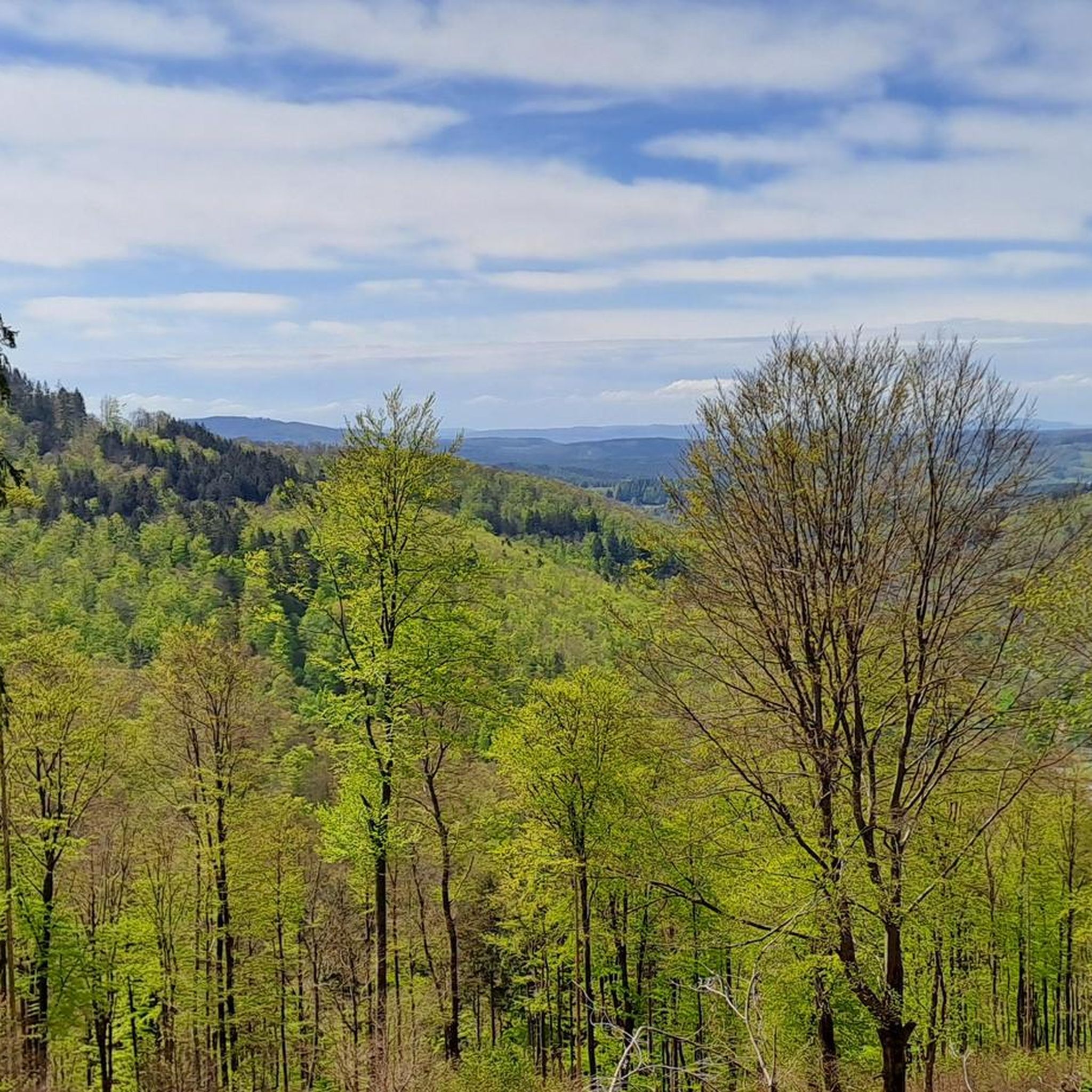
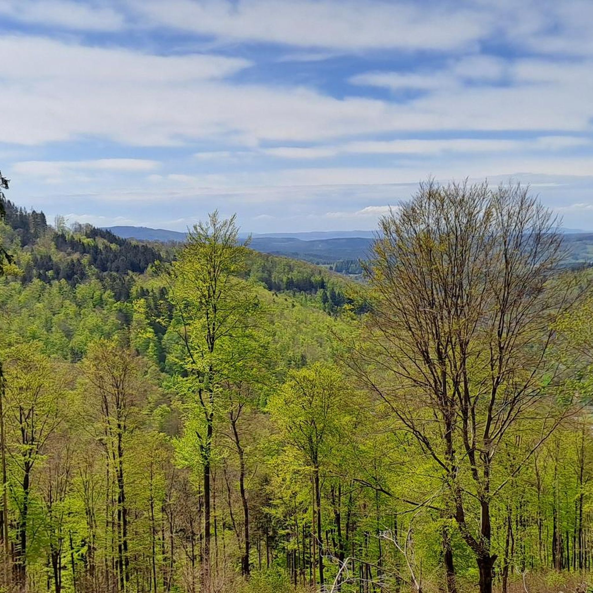
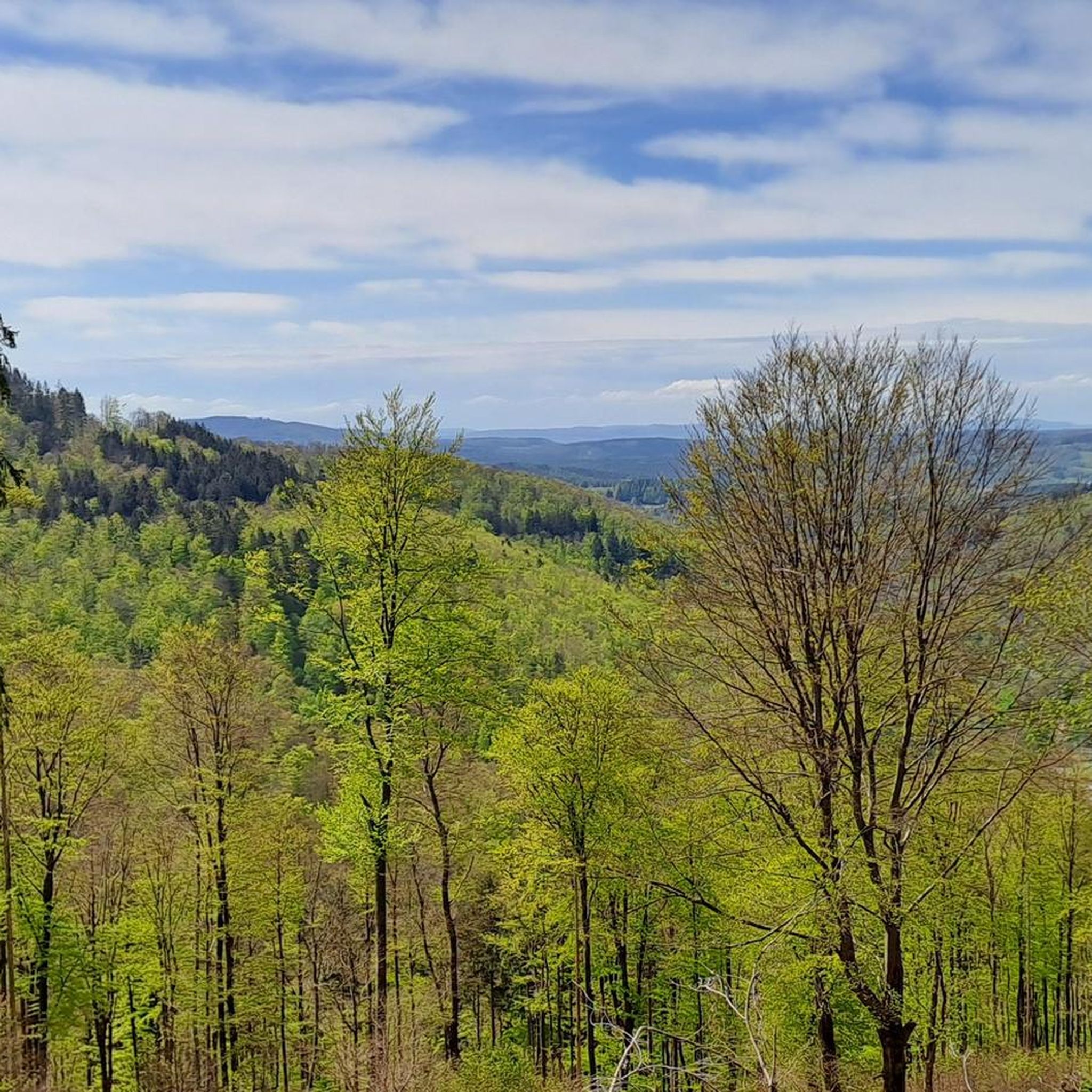
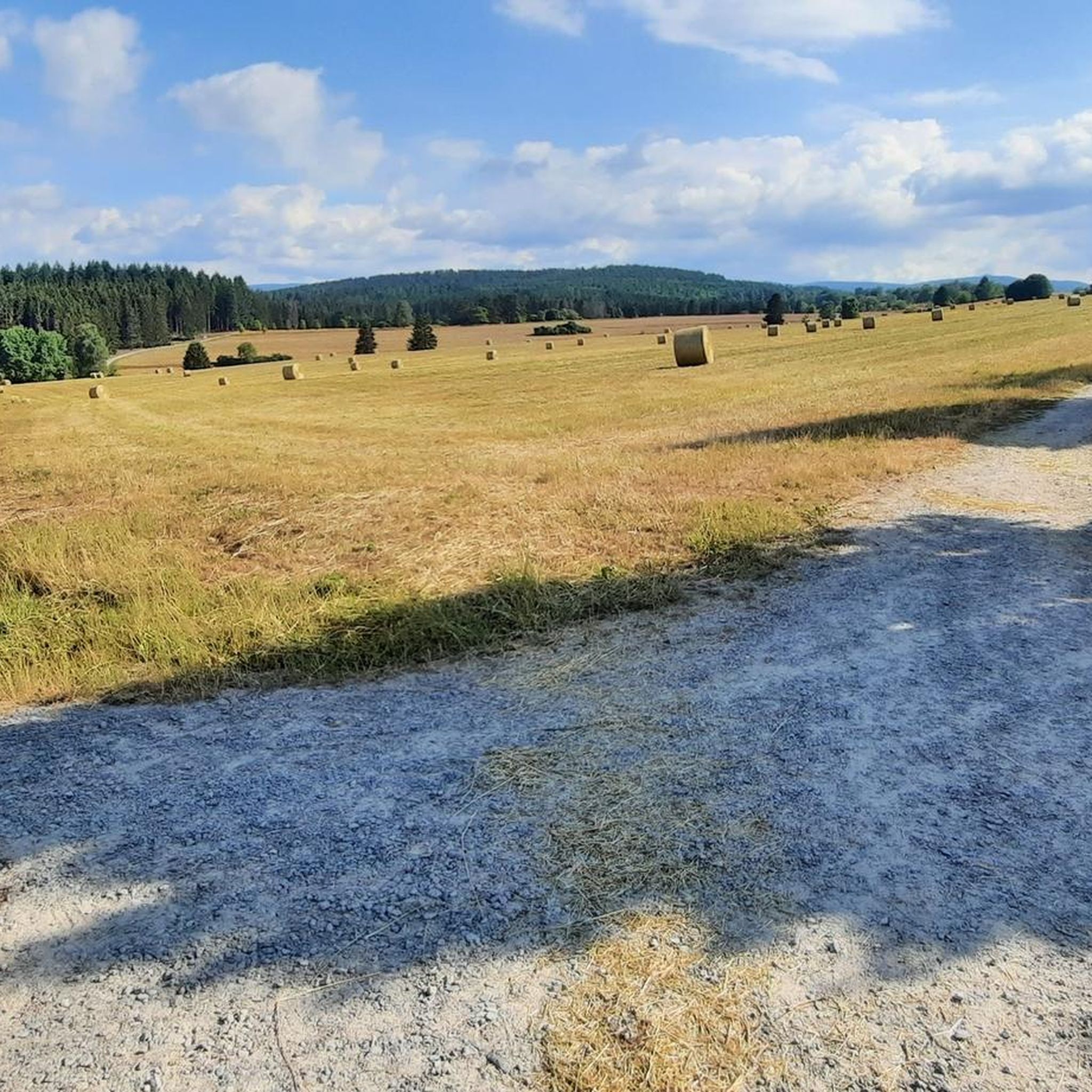
Mountaineering routes around Benshausen are situated within the Thuringian Forest, a low mountain range in Germany. The village lies on the southern slopes, where the mountains meet sandstone heights, offering a diverse landscape. The region is characterized by shady mixed forests ascending up to 750 meters and features high peaks such as Großer Beerberg (982m) and Schneekopf (978m), providing elevated terrain for exploration.
Best mountaineering routes around Benshausen
- The most popular mountaineering route is Kaltenbrunner Stein Viewpoint – Burnt Rock…
Last updated: August 18, 2026
4
hikers
Moderate mountaineering route. Good fitness required. Mostly accessible paths. Sure-footedness required.
4
hikers
7.53km
02:05
130m
130m
Moderate mountaineering route. Good fitness required. Easily-accessible paths. Suitable for all skill levels.

Sign up for free
Hard mountaineering route. Good fitness required. Sure-footedness, sturdy shoes and alpine experience required.
1
hikers
6.89km
01:53
100m
100m
Easy mountaineering route. Great for any fitness level. Easily-accessible paths. Suitable for all skill levels.
Easy mountaineering route. Great for any fitness level. Easily-accessible paths. Suitable for all skill levels.
Our route recommendations are based on thousands of hikes, rides, and runs completed by other people on komoot.
Start today with a free account
Your next adventure awaits.
Login or Signup

Tips from the Community


It's a great place for hiking.
0
0

Wooden shelter with seating directly on the Rennsteig, as well as a stamping point.
6
0
Former Imperial Post Office with beautiful half-timbered architecture, built in 1889/90, today a pharmacy and residential building.
8
1

The Neue Gehlberger Hütte is located on the 978-meter-high Schneekopf mountain and is the highest-altitude serviced hut in Thuringia. It offers a cozy hiking hostel with shared rooms and a restaurant serving traditional Thuringian cuisine. Opening Hours: The restaurant is open daily from 10 a.m. to 5 p.m. – longer in summer. Breakfast for guests is served from 8 a.m. to 10 a.m.
2
0

A very beautiful facility
11
0
Very nice water features👍
15
0

Winter sports resort in the Thuringian Forest. Offers great conditions for mountain biking (trail, XC and park), gravel biking, hiking and cross-country skiing. There are also a few climbing rocks in the vicinity.
1
0
Frequently Asked Questions
How many mountaineering routes are available around Benshausen?
There are several mountaineering routes around Benshausen, with 5 distinct tours detailed in this guide, offering a range of experiences within the Thuringian Forest.
Are there any easy or family-friendly mountaineering routes in Benshausen?
Yes, there are easy routes suitable for families. For instance, the Oberhof – Oberhof Winter Sports Center loop from Oberhof is an easy 6.7 km trail through forested landscapes, often completed in about 1 hour 50 minutes.
What kind of natural features and scenic points can I expect to see on these routes?
The region is rich in natural beauty. You can expect to encounter shady mixed forests, high peaks offering panoramic views, and charming valleys. Notable viewpoints include Plänckner's Aussichtspunk near Großer Beerberg and the observation tower on Schneekopf, which provides magnificent 360-degree vistas. The Kaltenbrunner Stein Viewpoint – Burnt Rock loop from Zella-Mehlis specifically leads to viewpoints with expansive panoramas.
Are there any circular mountaineering routes in the Benshausen area?
Yes, many of the mountaineering routes around Benshausen are designed as circular paths, allowing you to start and end at the same point. Examples include the Highest Point of the Rennsteig – Schmücke Lodge and Beer Garden loop from Kernzone Schneekopfmoor and the Shelter "Stein 16" – Violet fountain loop from Oberhof.
Are there places to rest or eat along the mountaineering routes?
Yes, the region offers several spots for a break. The Neue Gehlberger Hütte, the highest-situated managed hut in Thuringia, is located on the Schneekopf and accessible via routes like the Highest Point of the Rennsteig – Schmücke Lodge and Beer Garden loop from Kernzone Schneeneckopfmoor. Additionally, the 'Wanderhütte Geisenhimmel' is a popular and attractively located hiking hut that offers food and a welcoming atmosphere on weekends.
What is the best time of year for mountaineering in Benshausen?
The Thuringian Forest offers beautiful conditions for mountaineering throughout much of the year. Spring and autumn provide pleasant temperatures and vibrant scenery, while summer is ideal for longer days. Winter mountaineering is also possible, with the region transforming into a snowy landscape, though specific routes may require appropriate gear and conditions.
Are there any waterfalls or lakes I can visit near the mountaineering trails?
Yes, the area around Benshausen features several beautiful natural water features. You can explore highlights such as The Röllchen Gorge and Waterfall, Lauter Waterfalls in Suhl, and Steina Waterfall and Forest Path. For lakes, consider visiting Upper Sieglitz Pond or Pfanntal Pond.
What do other mountaineers enjoy most about the routes in Benshausen?
The routes in Benshausen are highly rated by the komoot community, with an average score of 5.0 stars. Mountaineers often praise the diverse terrain, the extensive mixed forests, and the rewarding panoramic views from the high peaks of the Thuringian Forest.
Are there any particularly challenging mountaineering routes for experienced hikers?
Yes, for those seeking a more demanding experience, the region offers challenging ascents. The Kaltenbrunner Stein Viewpoint – Burnt Rock loop from Zella-Mehlis is classified as a difficult 12.7 km trail, taking nearly 4 hours to complete, with significant elevation changes.
Can I bring my dog on the mountaineering trails around Benshausen?
Generally, dogs are welcome on most hiking and mountaineering trails in the Thuringian Forest. However, it's always advisable to keep your dog on a leash, especially in nature reserves or areas with wildlife, and to check for any specific local regulations along your chosen route.
How can I reach the starting points of these mountaineering routes, and is parking available?
Access to the Thuringian Forest is generally good. While specific parking information varies by trailhead, many popular starting points for routes, particularly those near towns like Zella-Mehlis or Oberhof, offer designated parking areas. Public transport options may also be available to reach some trailheads, though a car often provides more flexibility for accessing remote starting points.
Are there any longer mountaineering routes for multi-day trips or extended exploration?
While the routes listed in this guide are primarily day trips, the Thuringian Forest is home to the historic Rennsteig trail, a long-distance ridge walk. Routes like the Highest Point of the Rennsteig – Schmücke Lodge and Beer Garden loop from Kernzone Schneekopfmoor explore sections of this extensive network, which can be combined for longer adventures.
Most popular routes around Benshausen
Most popular attractions around Benshausen

Get inspired with the komoot mobile app


Explore more
Browse the best Mountain Hikes & Routes in other regions.
