The best gravel rides around Weißensberg
4.3
(80)
375
riders
27
rides
Gravel biking around Weißensberg offers a diverse landscape characterized by its proximity to Lake Constance and views of the Alps. The region features varied terrain, including gentle hilly landscapes, serene river valleys, and expansive orchards and vineyards. River paths along the Argen and lakeside routes provide dynamic experiences for gravel bikers. Elevation changes across the trails indicate a mix of flat sections and climbs.
Best gravel bike trails around Weißensberg
- The most popular gravel bike trail is Argen Cycle Path…
Last updated: July 2, 2026
4.6
(14)
39
riders
46.6km
02:41
390m
390m
Hard gravel ride. Good fitness required. You may need to push your bike for some segments of this route.
4.4
(7)
43
riders
32.5km
01:45
210m
210m
Moderate gravel ride. Good fitness required. Mostly paved surfaces. Suitable for all skill levels.

Sign up for free
3.3
(3)
25
riders
39.9km
02:23
440m
440m
Hard gravel ride. Good fitness required. You may need to push your bike for some segments of this route.
3.3
(3)
15
riders
34.8km
02:14
420m
410m
Moderate gravel ride. Good fitness required. Mostly paved surfaces. Suitable for all skill levels.
4.5
(2)
10
riders
59.0km
03:31
500m
500m
Hard gravel ride. Very good fitness required. Mostly paved surfaces. Suitable for all skill levels.
Get access to more routes and recommendations from other explorers.
Sign up for free
Already have an account?
Our route recommendations are based on thousands of hikes, rides, and runs completed by other people on komoot.
Start today with a free account
Your next adventure awaits.
Login or Signup

Tips from the Community

Fine gravel beach, not too crowded
0
0

The cycle path along the Argen is good to ride.
1
0

Whether along the Argen Lang or just crossing it - it's always beautiful there.
1
0

There are some nice swimming spots here, which are quite busy in the summer.
4
0
Great cycle paths lead along the Argen into the hinterland.
5
0

In 1691, Land Commander Franz Benedikt von Baden acquired the Achberg estate for the Teutonic Order. In keeping with his noble status, he had the castle expanded between 1693 and 1700.
4
0
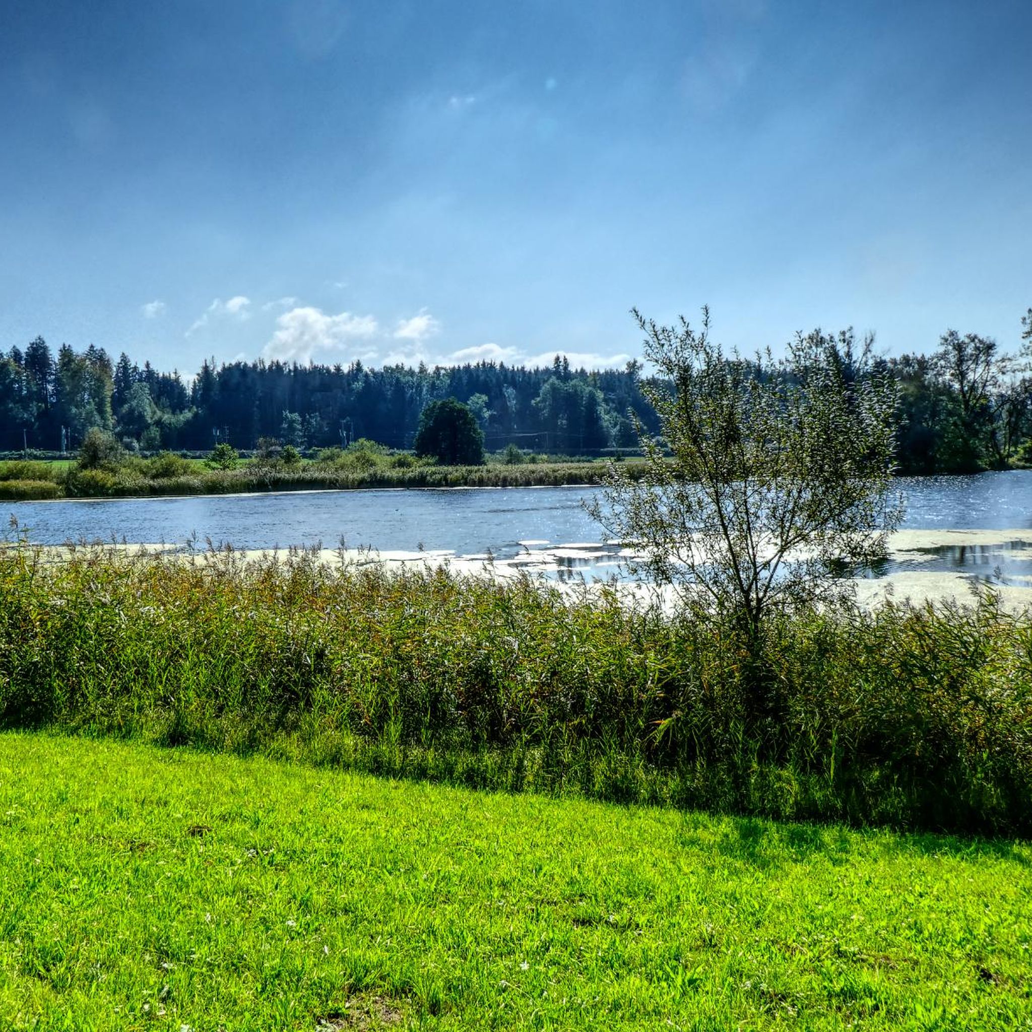
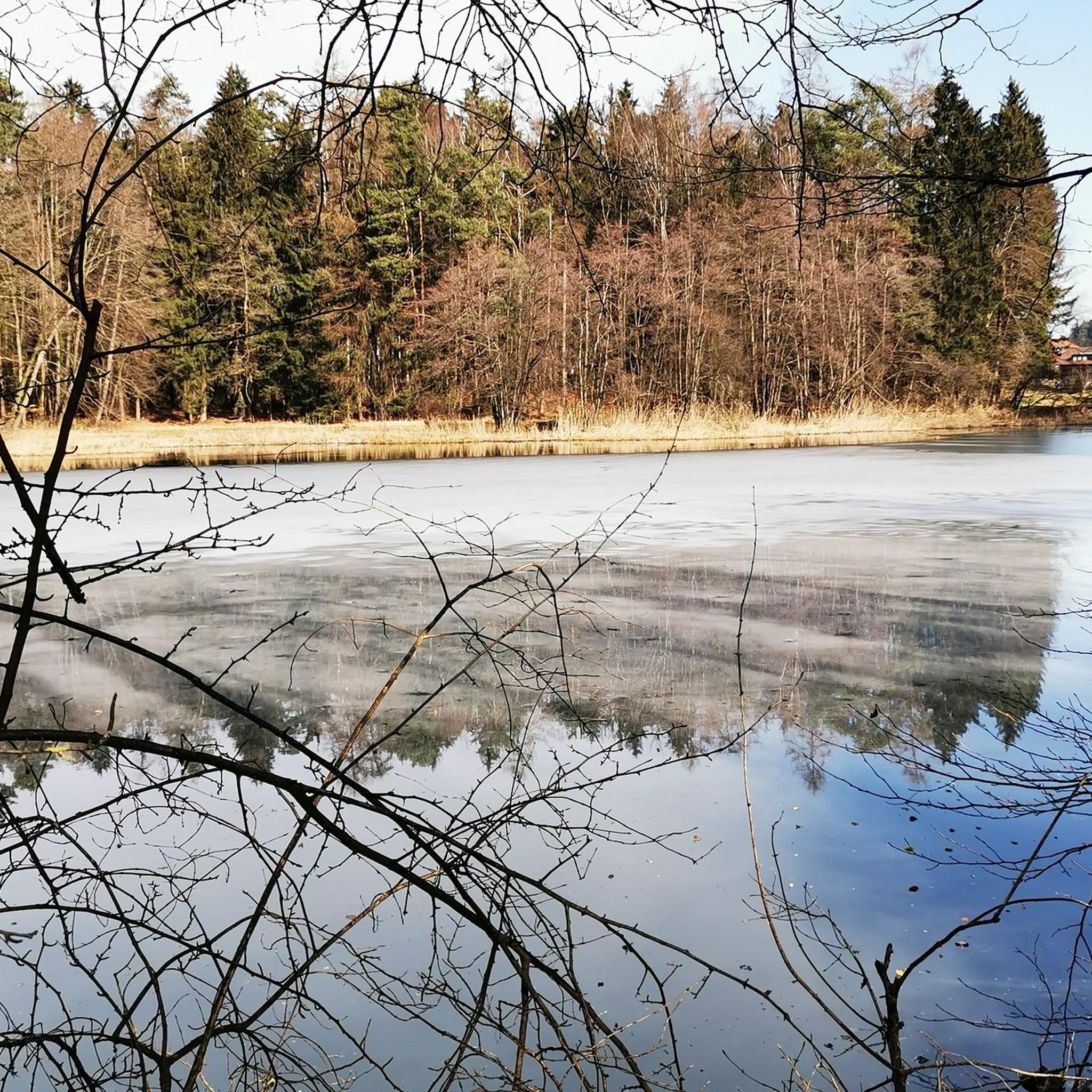
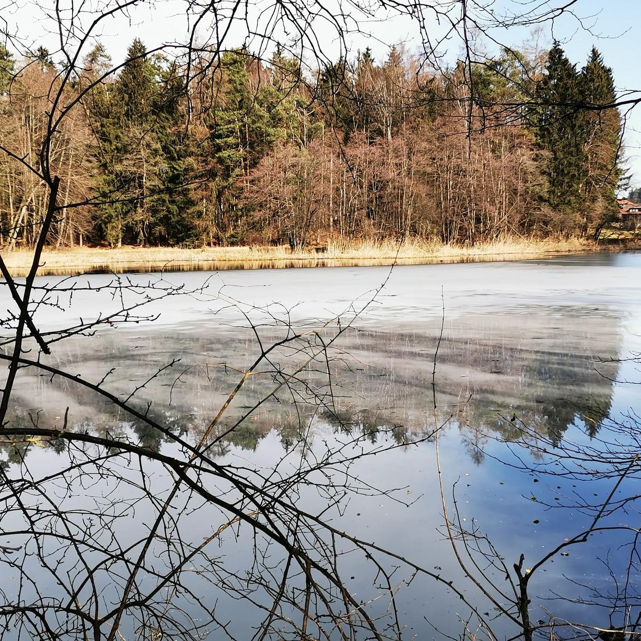
Like the nearby Muttelsee, Wielandssee, and Degersee lakes, the Schleinsee formed as a meltwater lake towards the end of the last Ice Age, approximately 15,000 years ago. The two surface tributaries are insignificant; however, several subterranean springs feed the Schleinsee. The theoretically calculated water renewal time is approximately two years.
3
0

Frequently Asked Questions
What are the typical difficulty levels for gravel bike trails around Weißensberg?
The gravel bike trails around Weißensberg offer a range of difficulties. You'll find approximately 4 easy routes, 23 moderate routes, and 27 difficult routes, providing options for various skill levels. For example, the Argen Cycle Path – Argen River Path loop from Enzisweiler is a moderate option.
Are there beginner-friendly gravel bike routes in Weißensberg?
Yes, Weißensberg offers several routes suitable for beginners. There are approximately 4 easy routes available, and many of the moderate trails are also accessible for those with some cycling experience. These routes often feature less challenging terrain and elevation changes.
Where can I find more challenging gravel bike routes near Weißensberg?
For experienced gravel bikers seeking a challenge, Weißensberg has around 27 difficult routes. These trails often feature significant elevation gains and more technical sections. A good example is the View of the Allgäu Mountains – Argen Suspension Bridge loop from Lindau-Reutin, which includes substantial climbing and scenic views.
What is the typical length of gravel bike routes in Weißensberg?
The gravel bike routes in Weißensberg vary in length, generally ranging from around 30 to 45 kilometers. For instance, the View of Lake Constance – View of Lake Constance loop from Lindau-Reutin is about 31 kilometers, while the Lochau Lakeside Cycle Path loop from Lindau-Aeschach extends to approximately 45 kilometers.
When is the best time of year for gravel biking around Weißensberg?
The best time for gravel biking around Weißensberg is typically from spring through autumn. During these seasons, the weather is generally mild, and the trails are in good condition. The proximity to Lake Constance often provides a pleasant climate for outdoor activities.
Can I go gravel biking in Weißensberg during winter?
Gravel biking in Weißensberg during winter is possible, but conditions can vary significantly. While some lower-elevation and lakeside paths might remain clear, higher routes or those further inland could be affected by snow and ice. It's advisable to check local weather and trail conditions before heading out.
Are there any circular gravel bike trails in Weißensberg?
Yes, many of the gravel bike trails around Weißensberg are designed as circular routes, allowing you to start and end at the same point. Examples include the Argen Cycle Path – Argen River Path loop from Enzisweiler and the St. Wendelin's Chapel, Kinberg – View of Lake Constance loop from Hergensweiler.
What kind of views can I expect along the gravel bike routes?
The gravel bike routes around Weißensberg offer diverse and stunning views. You can expect panoramic vistas of the Allgäu Mountains, picturesque glimpses of Lake Constance, and serene river landscapes along the Argen. Specific viewpoints like the View of Bregenz and Lake Constance or the View of the Bregenzerwald are accessible from nearby areas.
What do other gravel bikers enjoy most about gravel biking in Weißensberg?
The komoot community highly rates gravel biking in Weißensberg, with an average score of 4.6 stars from over 90 reviews. Riders often praise the varied terrain, which includes river valleys, lakeside paths, and mountain viewpoints, as well as the diverse options available for different ability levels.
Are there any notable natural attractions or landmarks near the gravel bike trails?
Yes, the region around Weißensberg is rich in natural attractions. You can find beautiful waterfalls such as the Scheidegg Waterfalls or the Hasenreuter Waterfalls. Additionally, the Pfänder Summit offers spectacular views and is a popular nearby destination.
Are there any cafes or places to stop for refreshments along the gravel routes?
While specific cafes are not listed for every route, the region around Weißensberg, especially near Lake Constance and in towns like Lindau, offers various opportunities for refreshments. Many routes pass through or near villages where you can find local eateries and cafes to refuel.
What are the starting points for gravel bike trails in Weißensberg?
Gravel bike trails in Weißensberg often start from various points in and around the region. Common starting locations mentioned in route descriptions include Enzisweiler, Lindau-Reutin, Lindau-Aeschach, and Hergensweiler. These villages provide convenient access to the trail network.
Most popular routes around Weißensberg
Most popular attractions around Weißensberg

Get inspired with the komoot mobile app


Explore more
Browse the best Gravel rides in other regions.
