The best gravel rides around Donauwörth
4.4
(46)
243
riders
45
rides
Gravel biking around Donauwörth is characterized by its riverine landscapes, primarily along the Danube and Lech rivers. The terrain largely consists of flat to gently rolling agricultural plains, interspersed with forested sections and nature reserves. Elevation gains are generally modest, making many routes accessible for various skill levels. The region offers a mix of riverside paths and trails through open countryside.
Best gravel bike trails around Donauwörth
- The most popular gravel bike trail is Dillingen town gate – Danube Riverside…
Last updated: July 2, 2026
4.8
(4)
24
riders
62.8km
03:49
120m
120m
Moderate gravel ride. Good fitness required. Mostly paved surfaces. Suitable for all skill levels.
3.0
(1)
13
riders
34.2km
02:18
60m
60m
Moderate gravel ride. Good fitness required. Mostly paved surfaces. Suitable for all skill levels.

Sign up for free
4.3
(9)
48
riders
Moderate gravel ride. Good fitness required. Mostly paved surfaces. Suitable for all skill levels.
5.0
(1)
6
riders
32.6km
01:58
370m
370m
Moderate gravel ride. Good fitness required. Mostly paved surfaces. Suitable for all skill levels.
5.0
(2)
4
riders
15.8km
01:03
240m
240m
Moderate gravel ride. Good fitness required. Mostly paved surfaces. Suitable for all skill levels.
Get access to more routes and recommendations from other explorers.
Sign up for free
Already have an account?
Our route recommendations are based on thousands of hikes, rides, and runs completed by other people on komoot.
Start today with a free account
Your next adventure awaits.
Login or Signup
Popular around Donauwörth

Augsburger Jakobsweg – Through Bavarian-Swabia

The Romantic Road – To the Pearls of Southern Germany
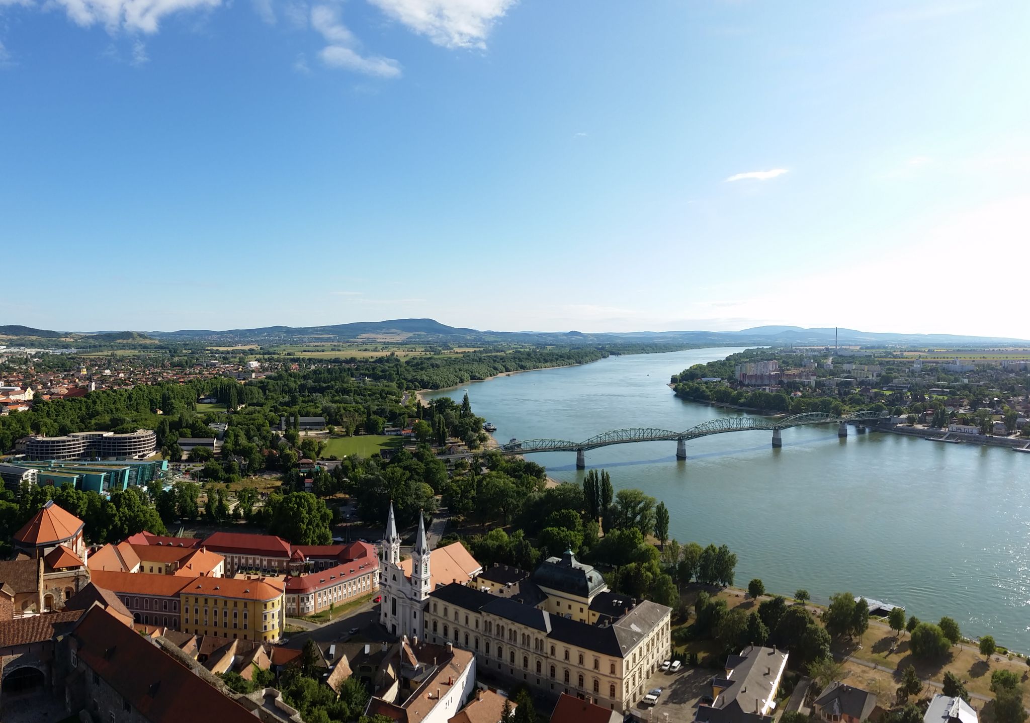
The Danube Cycle Path – From Donaueschingen to Budapest
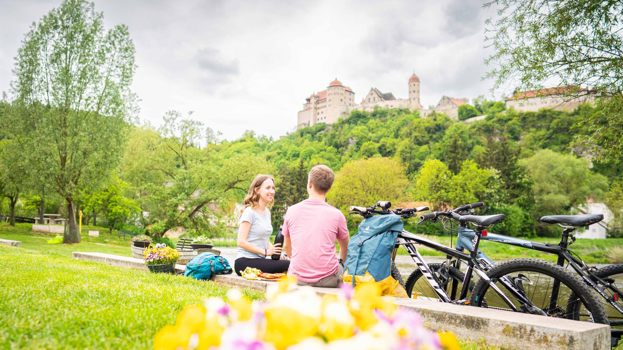
Cycle back in time in the Donau-Ries region
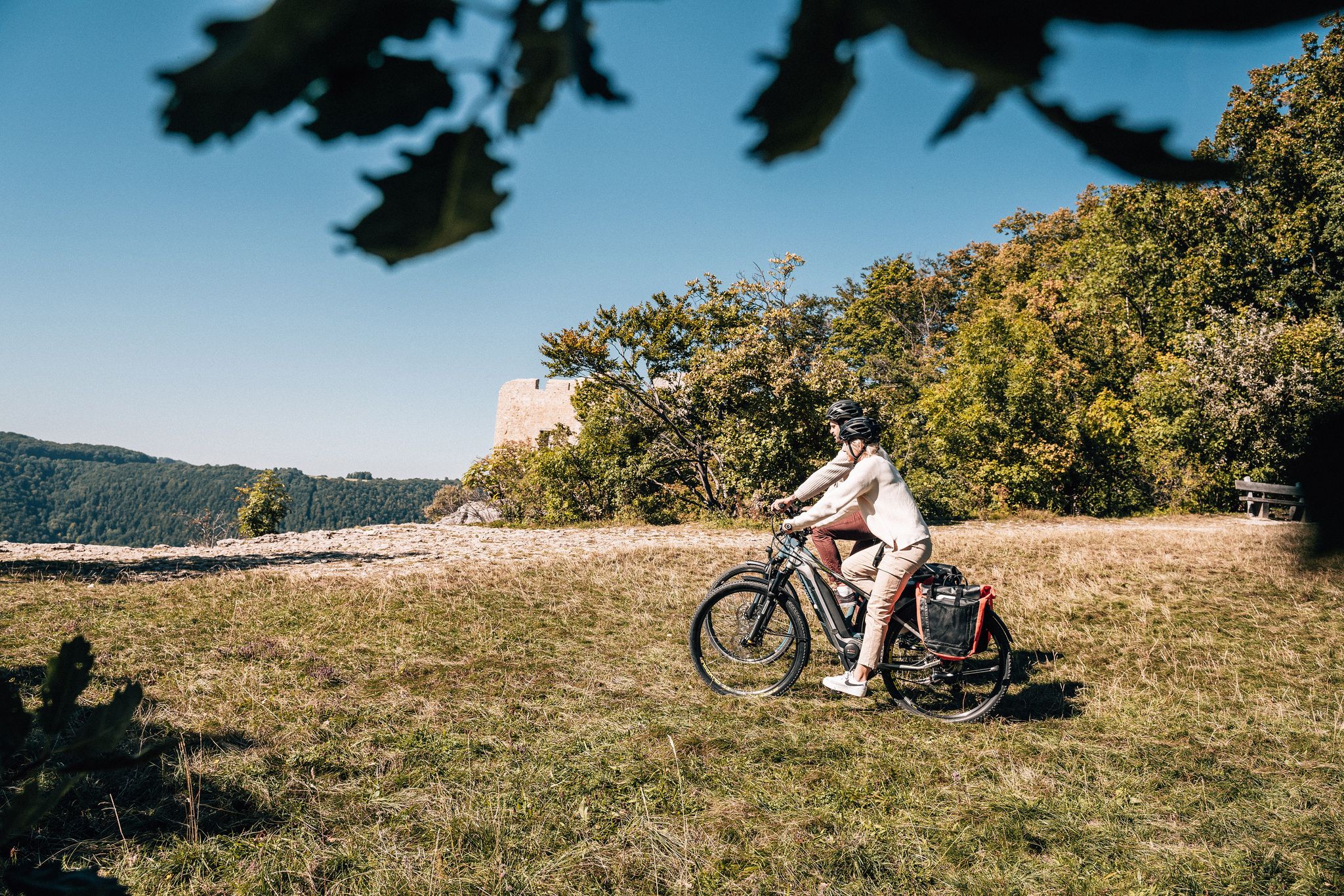
Breathe in the mountain air – long-distance cycle paths in the Swabian Alb
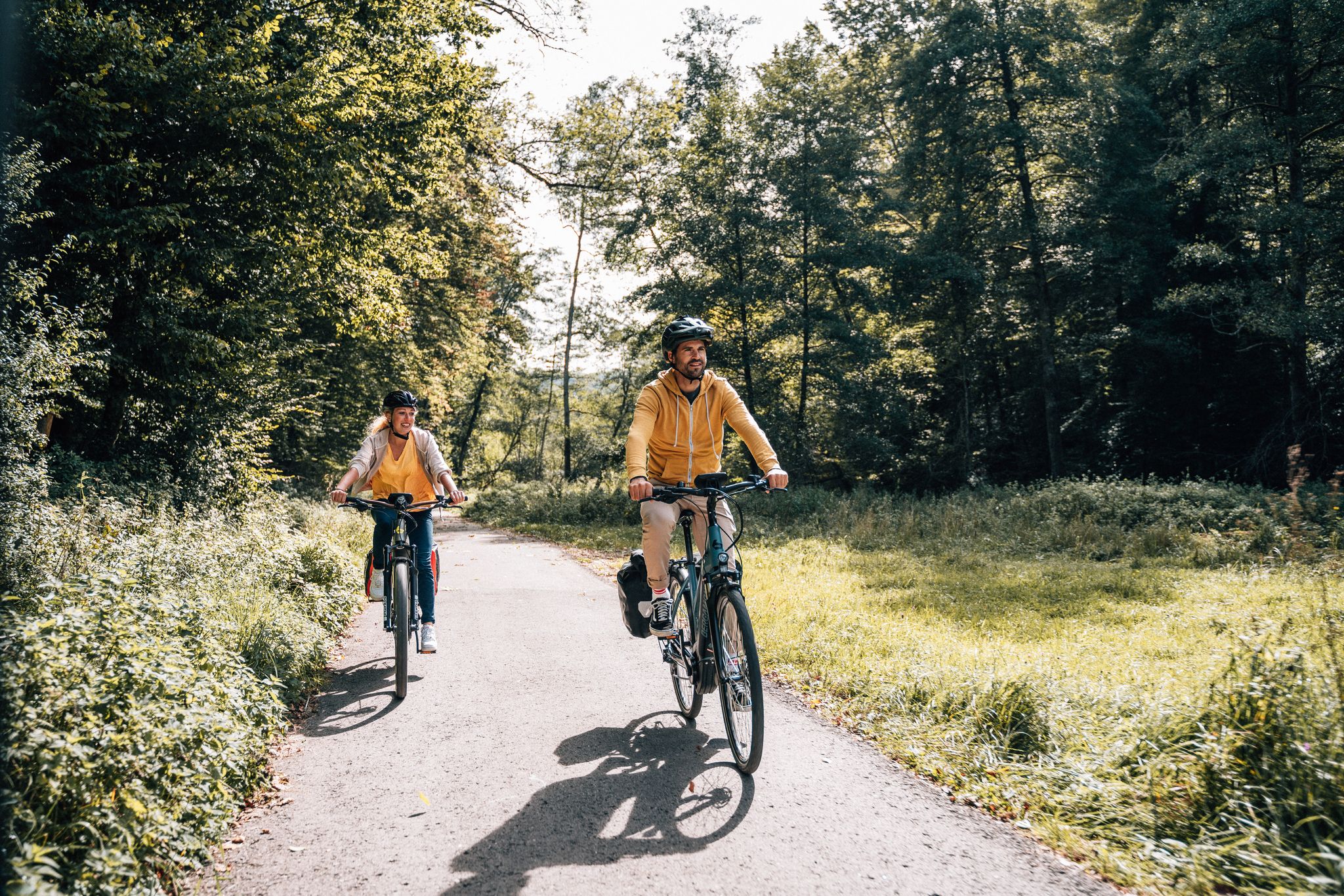
Cycle touring trio in the Swabian Alb
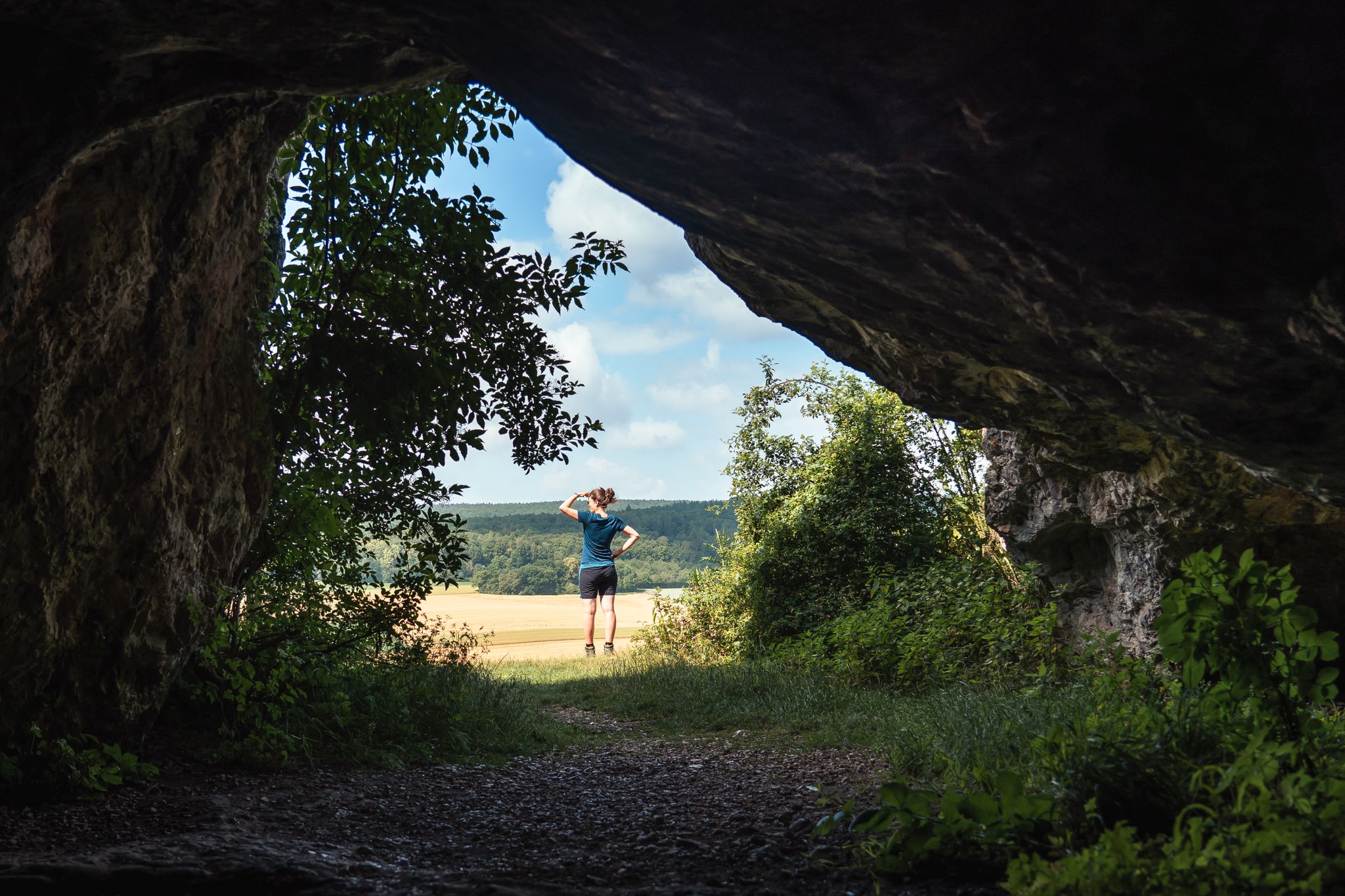
Historic and exciting – hiking in the DONAURIES holiday region
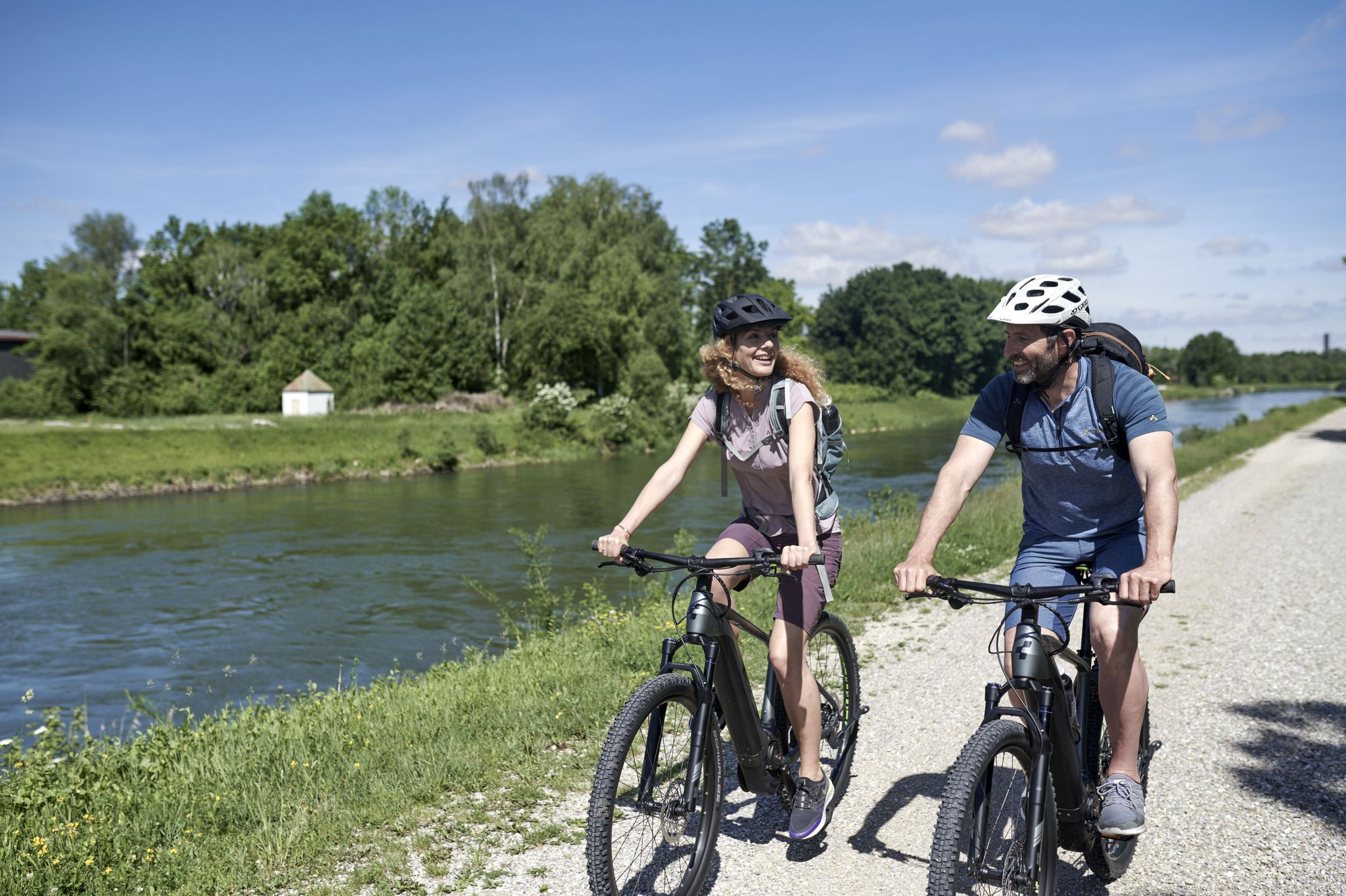
From River to River: Cycling in Bavarian Swabia
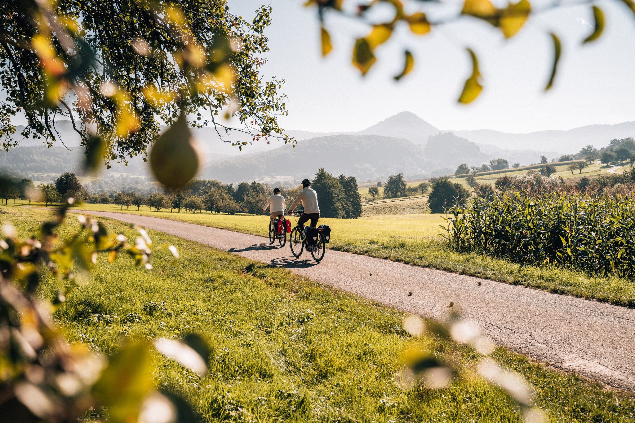
Cycle the Swabian Alb Cycle Path to Lake Constance
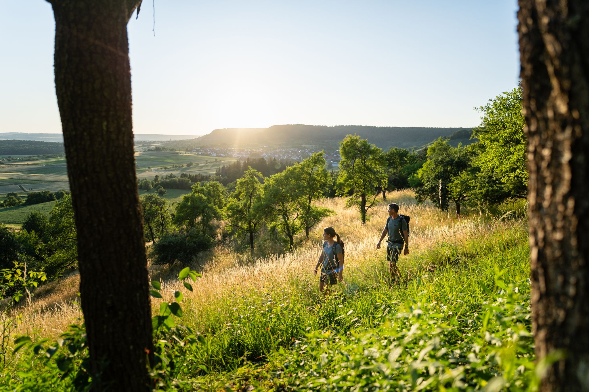
6 Long-Distance Hikes for Your Escape to the Swabian Alb
Other adventures around Donauwörth


Tips from the Community

Depending on the water flow in the Lech, north of the weir in Gersthofen, the "river" is only fed by the water flowing through the fish ladder, with the water being primarily diverted into the Lech canal.😒
0
0


Very good trip, the Danube is really beautiful!
0
0

The Lech is a right tributary of the Danube. The 256 km long river originates in Vorarlberg in the Hochtannberg region at the confluence of the Spullerbach and Formarinbach streams in the Tannläger valley. It flows through Tyrol and southern Bavaria, where it empties into the Danube. Shortly before the Austrian-German border, it joins the Vils river, forms the artificial Lechfall near Füssen, and crosses Swabia and Upper Bavaria on its way. The largest cities on the Lech are Landsberg and Augsburg; in this city, it receives its largest tributary, the Wertach. The river empties into the Danube near Marxheim. Source: Wikipedia
1
0
The Lech is a right tributary of the Danube. The 256 km long river originates in Vorarlberg in the Hochtannberg region at the confluence of the Spullerbach and Formarinbach streams in the Tannläger valley. It flows through Tyrol and southern Bavaria, where it empties into the Danube. Shortly before the Austrian-German border, it joins the Vils river, forms the artificial Lechfall near Füssen, and crosses Swabia and Upper Bavaria on its way. The largest cities on the Lech are Landsberg and Augsburg; in this city, it receives its largest tributary, the Wertach. The river empties into the Danube near Marxheim. Source: Wikipedia
1
0
The Lech is a right tributary of the Danube. The 256 km long river originates in Vorarlberg in the Hochtannberg region at the confluence of the Spullerbach and Formarinbach streams in the Tannläger valley. It flows through Tyrol and southern Bavaria, where it empties into the Danube. Shortly before the Austrian-German border, it joins the Vils river, forms the artificial Lechfall near Füssen, and crosses Swabia and Upper Bavaria on its way. The largest cities on the Lech are Landsberg and Augsburg; in this city, it receives its largest tributary, the Wertach. The river empties into the Danube near Marxheim. Source: Wikipedia
1
0
The Lech is a right tributary of the Danube. The 256 km long river originates in Vorarlberg in the Hochtannberg region at the confluence of the Spullerbach and Formarinbach streams in the Tannläger valley. It flows through Tyrol and southern Bavaria, where it empties into the Danube. Shortly before the Austrian-German border, it joins the Vils river, forms the artificial Lechfall near Füssen, and crosses Swabia and Upper Bavaria on its way. The largest cities on the Lech are Landsberg and Augsburg; in this city, it receives its largest tributary, the Wertach. The river empties into the Danube near Marxheim. Source: Wikipedia
2
0

Maybe make sure someone is coming from the side...
0
0
Frequently Asked Questions
What is the general terrain like for gravel biking around Donauwörth?
Gravel biking in Donauwörth is characterized by its scenic riverine landscapes, primarily following the Danube and Lech rivers. The terrain mostly features flat to gently rolling agricultural plains, interspersed with forested sections and nature reserves. Elevation gains are generally modest, making many routes accessible for various skill levels.
How many gravel bike trails are available in the Donauwörth area?
There are over 50 gravel bike trails around Donauwörth documented on komoot, offering a wide range of options for different skill levels and preferences. The komoot community has explored these routes over 200 times.
Are there easy or beginner-friendly gravel bike routes in Donauwörth?
Yes, Donauwörth offers several easy and beginner-friendly gravel bike routes. These typically feature minimal elevation gain and well-maintained paths, often along the rivers. An example of an easy route is the Danube Bridge at Kesseldamm – Tapfheim Danube Bridge loop from Donauwörth, which is about 17.3 km long.
What kind of routes are available for advanced gravel cyclists in Donauwörth?
For advanced gravel cyclists seeking more challenging rides, Donauwörth offers routes with greater distances and some more significant elevation changes. An example is the Between the Lech and the Lech Canal – Lech River near Augsburg loop from Donauwörth, which covers over 81 km and includes more varied terrain.
Are there any family-friendly gravel bike trails in Donauwörth?
Many of the flatter, riverside paths in Donauwörth are suitable for families. These routes often avoid steep climbs and offer pleasant scenery. Look for routes marked as 'easy' difficulty, which are generally suitable for a family outing.
What are some interesting landmarks or attractions to see along the gravel bike trails?
Along the gravel bike trails, you can discover various points of interest. Notable attractions include the historic Rieder Gate in Donauwörth, the impressive Stone Bridge Harburg, and the elegant Leitheim Castle. You might also pass by natural highlights like the Prälatenweiher lake.
Are there gravel bike loop trails around Donauwörth?
Yes, many gravel bike routes in Donauwörth are designed as loops, allowing you to start and end at the same point. For instance, the Mähdigraben – Thierhaupten Bird Sanctuary loop from Genderkingen is a popular moderate loop that takes you through natural areas.
What is the best season for gravel biking in Donauwörth?
The best seasons for gravel biking in Donauwörth are typically spring, summer, and early autumn. During these months, the weather is generally mild, and the trails are in good condition. Spring offers blooming landscapes, while autumn provides beautiful foliage along the river valleys.
What do other gravel bikers enjoy most about gravel biking in Donauwörth?
The komoot community highly rates gravel biking in Donauwörth, with an average score of 4.4 stars from over 40 reviews. Reviewers often praise the diverse riverine landscapes, the well-maintained paths along the Danube and Lech, and the accessibility of routes for various skill levels.
Are there any routes that pass by nature reserves or bird sanctuaries?
Yes, some routes offer the chance to cycle through or near protected natural areas. The Mähdigraben – Thierhaupten Bird Sanctuary loop from Genderkingen, for example, navigates through natural areas including the Thierhaupten Bird Sanctuary, offering opportunities for wildlife observation.
Where can I find viewpoints along Donauwörth gravel routes?
While Donauwörth's terrain is largely flat, routes often follow riverbanks, providing open views of the Danube and Lech rivers and the surrounding agricultural plains. Elevated sections, such as those found on the Rieder Gate, Donauwörth – DAV Trail No. 3 loop from Donauwörth, may offer broader panoramas of the landscape.
Most popular routes around Donauwörth
Most popular attractions around Donauwörth

Get inspired with the komoot mobile app


Explore more
Browse the best Gravel rides in other regions.
