The best walks and hikes around Donauwörth
4.4
(599)
2,865
hikers
328
hikes
Hiking around Donauwörth offers diverse landscapes at the confluence of the Wörnitz and Danube rivers in Bavaria's Swabia region. The area is characterized by verdant hills, lush fields, and forests, providing varied terrain for outdoor activities. Donauwörth also serves as a gateway to the Swabian Jura, known for its geological formations, and lies within the Geopark Ries, a large meteorite crater. The region's natural features include riverbanks and elevated viewpoints.
Best hiking trails around Donauwörth
- The most popular hiking route is Wayside cross on Edelweißweg – Herz-Jesu Chapel loop from Deutschmeisterring, a 10.7 miles (17.2 km) trail that takes 4 hours 40 minutes to complete, leading through varied terrain with notable elevation changes.
- Another top favourite among local hikers is Färbertörle City Gate Tower – Rieder Gate, Donauwörth loop from Donauwörth, an easy 3.7 miles (6.0 km) path. This route offers views of historic city gates and riverbanks, with minimal elevation gain.
- Local hikers also love the Donauwörth on the Wörnitz River – Rieder Gate, Donauwörth loop from Donauwörth, a 9.8 miles (15.7 km) trail leading along the Wörnitz River and through the surrounding countryside, often completed in about 4 hours 23 minutes.
- Hiking around Donauwörth is defined by river confluences, verdant hills, and lush forests. The network of routes offers options for various ability levels, from easy strolls to more demanding treks.
- The routes in Donauwörth are highly rated by the komoot community with an average score of 4.5 stars from almost 500 reviews. More than 2700 hikers have used komoot to explore Donauwörth's varied terrain.
Last updated: August 18, 2026
5.0
(1)
6
hikers
2.00km
01:00
20m
20m
Easy hike. Great for any fitness level. Easily-accessible paths. Suitable for all skill levels.
4.7
(59)
214
hikers
Moderate hike. Good fitness required. Easily-accessible paths. Suitable for all skill levels.

Sign up for free
4.2
(17)
68
hikers
15.6km
04:23
300m
300m
Moderate hike. Good fitness required. Easily-accessible paths. Suitable for all skill levels.
4.1
(10)
41
hikers
Easy hike. Great for any fitness level. Easily-accessible paths. Suitable for all skill levels.
4.9
(21)
60
hikers
7.84km
02:07
100m
100m
Moderate hike. Good fitness required. Easily-accessible paths. Suitable for all skill levels.
Get access to more routes and recommendations from other explorers.
Sign up for free
Already have an account?
Our route recommendations are based on thousands of hikes, rides, and runs completed by other people on komoot.
Start today with a free account
Your next adventure awaits.
Login or Signup
Popular around Donauwörth

Augsburger Jakobsweg – Through Bavarian-Swabia

The Romantic Road – To the Pearls of Southern Germany
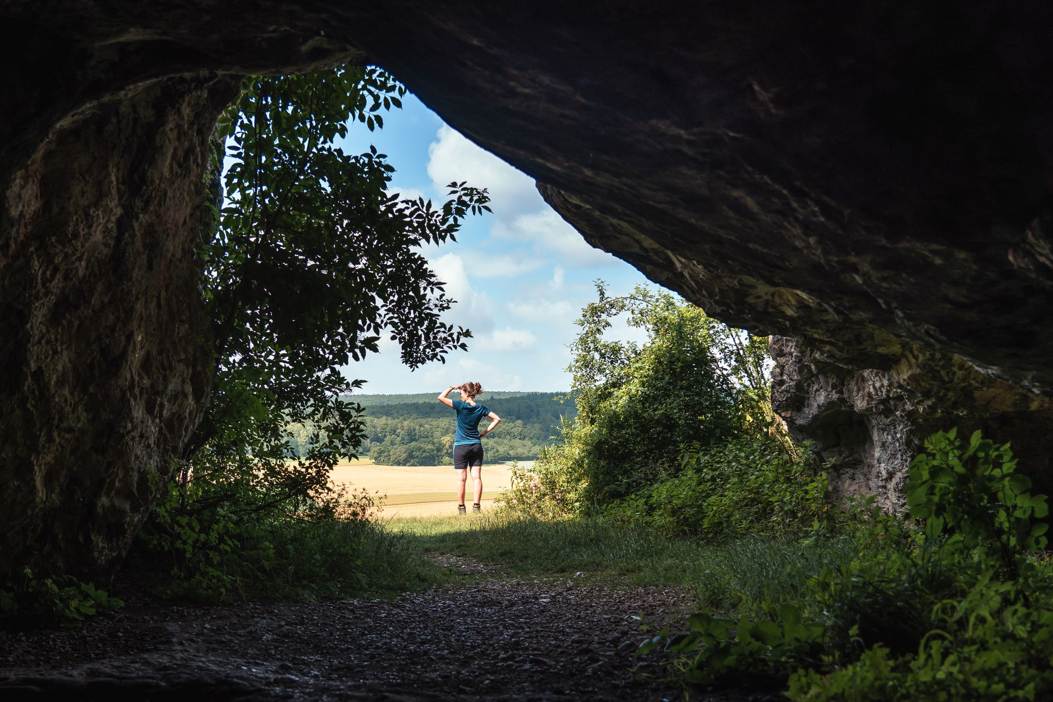
Historic and exciting – hiking in the DONAURIES holiday region
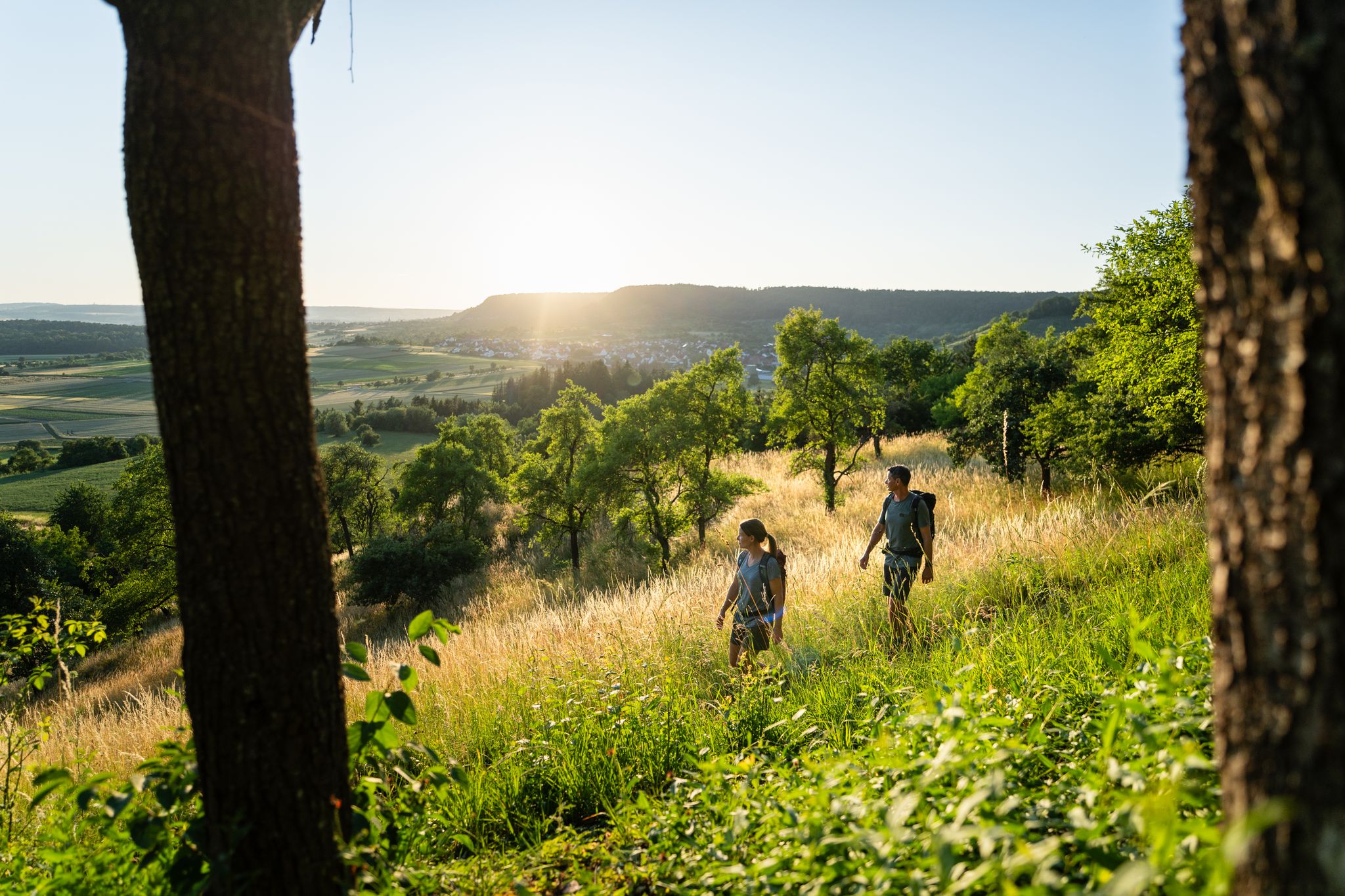
6 Long-Distance Hikes for Your Escape to the Swabian Alb

Discover premium and quality long-distance hiking in southern Germany
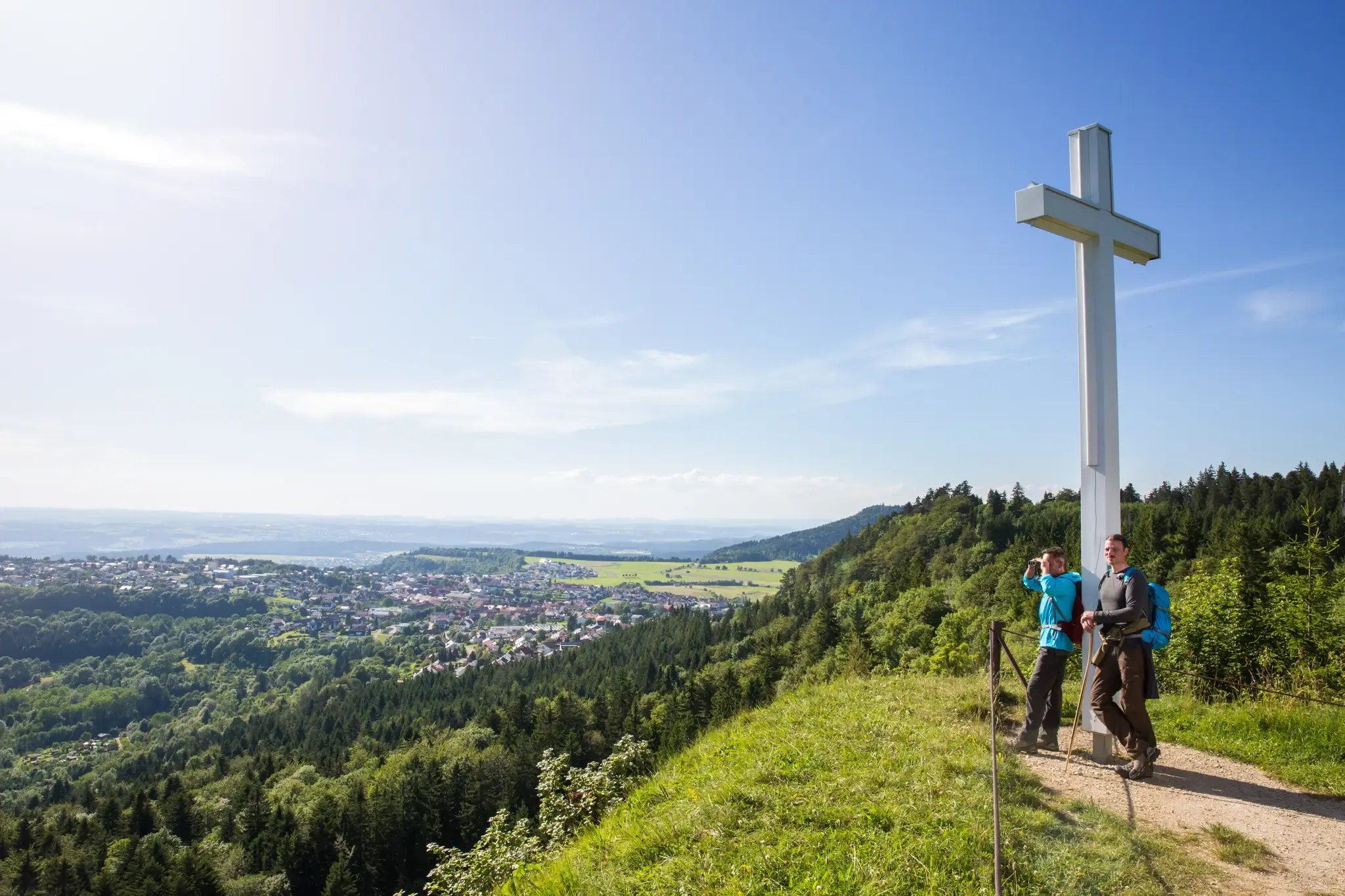
Conquering the Länd on foot – long–distance hiking in Baden–Württemberg

The Swabian Albsteig (HW1) – 16 stages of panoramic views
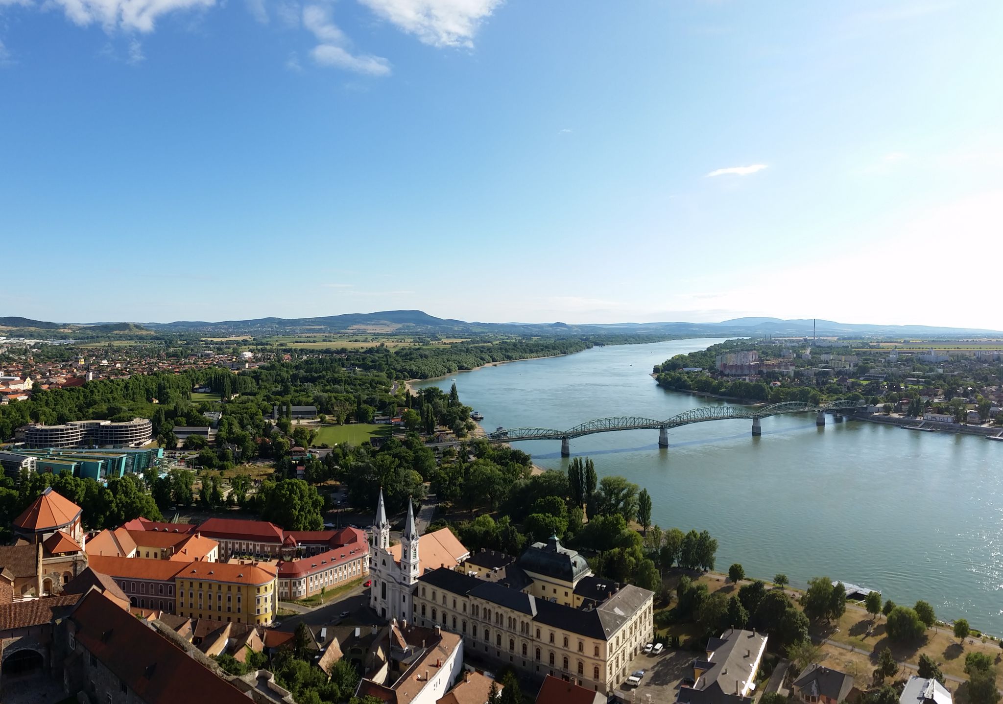
The Danube Cycle Path – From Donaueschingen to Budapest
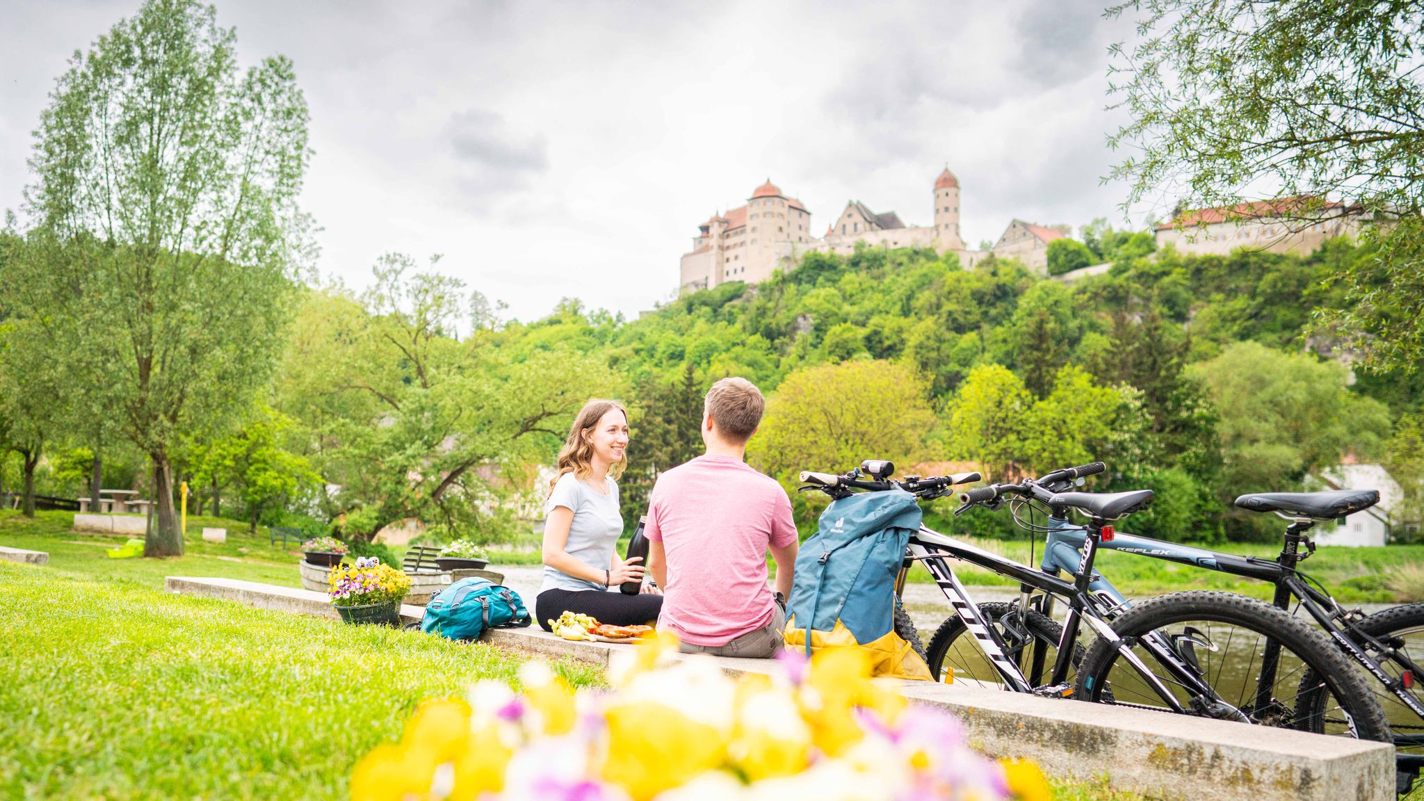
Cycle back in time in the Donau-Ries region
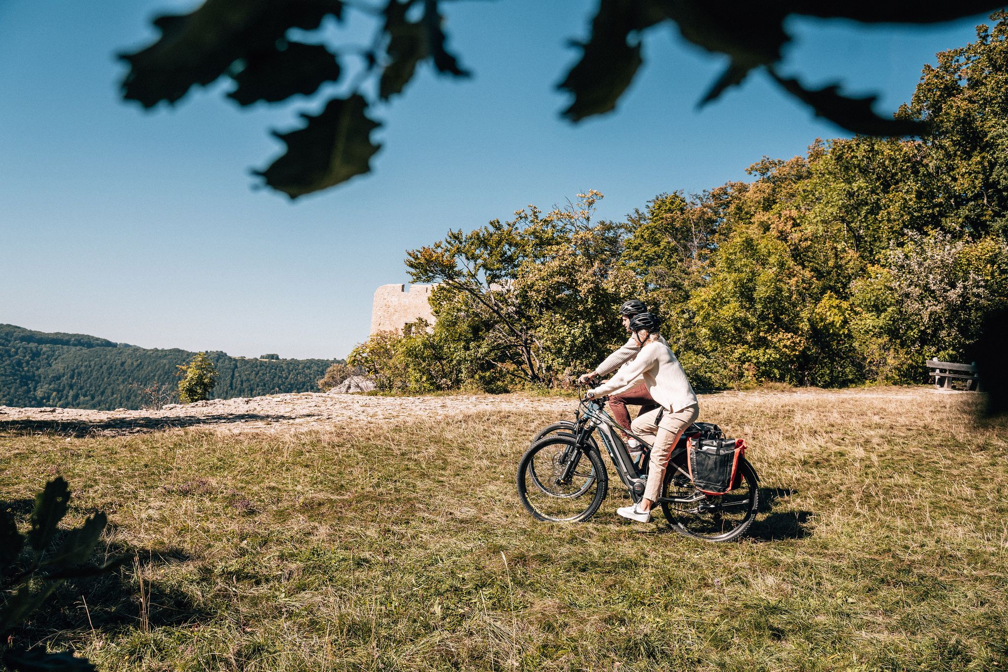
Breathe in the mountain air – long-distance cycle paths in the Swabian Alb
Other adventures around Donauwörth


Tips from the Community

The Mangoldstein is a striking rock on the Kalvarienberg and is reminiscent of the former Wörth castle, which once stood here. It was named after Count Mangold von Wörth, who is closely associated with the early history of Donauwörth.
4
0
A special point of interest is the Maria-Hilf Chapel, which lies idyllically on the slope of the Kalvarienberg. Together with the Stations of the Cross and the nearby Holy Cross Monastery, it forms a historical ensemble that has attracted pilgrims and visitors for centuries.
6
0
The Herz-Jesu-Kapelle is a small, idyllically located place of worship above Donauwörth. Surrounded by nature and with a view of the surrounding landscape, it invites you to a quiet break away from the busy paths.
5
0
This viewpoint above Donauwörth offers a magnificent panoramic view of the varied landscape of the Danube valley. From here, the gaze sweeps over fields, forests, and gentle hills far into the surrounding area. With good visibility, the dimensions of the region can be experienced particularly impressively. Thanks to its quiet location and the available seating, the spot is ideal for a rest or a relaxed picnic.
5
0
From the banks of the Danube, there is a beautiful view of the historic old town of Donauwörth. Particularly impressive are the colorful house facades rising above the river, as well as the distinctive tower of the Liebfrauenmünster, which shapes the city's silhouette.
5
0
Particularly impressive are the magnificent monastery church, the historic monastery buildings, and the quiet location above the city. The baroque monastery complex originated from a medieval pilgrimage site.
5
0
From here, a wide view opens up onto the historic old town with its distinctive church towers, the colorful buildings along the Reichsstraße, and the surrounding river landscapes. The combination of historical architecture and the waters of the Danube and Wörnitz makes this viewpoint particularly charming.
3
0

The local history museum in Donauwörth is located in one of the oldest parts of the town. It is housed in the red house on Ried Island. The Härpfer family, who have been connected to the town's fishing history since 1434, once lived here. The museum displays religious folk art, crafts, and offers deep insights into the town's cultural history.
1
0
Frequently Asked Questions
How many hiking trails are available around Donauwörth?
Donauwörth offers a wide variety of hiking experiences, with over 310 routes available. These range from easy strolls to more challenging treks, catering to different fitness levels.
Are there family-friendly hiking options in Donauwörth?
Yes, Donauwörth has many routes suitable for families. Nearly 190 of the available trails are rated as easy, featuring minimal elevation gain and scenic paths along riverbanks and through lush countryside. An example is the Färbertörle City Gate Tower – Rieder Gate, Donauwörth loop, which is an easy 6 km path offering views of historic city gates.
Can I find circular hiking routes near Donauwörth?
Many of Donauwörth's hiking trails are designed as loops, allowing you to start and end in the same location. For instance, the popular Donauwörth on the Wörnitz River – Rieder Gate, Donauwörth loop takes you along the Wörnitz River and through the surrounding countryside.
What historical or natural landmarks can I see while hiking near Donauwörth?
Donauwörth's trails often lead to fascinating points of interest. You can explore the picturesque confluence of the Wörnitz and Danube rivers at the Donauspitz, or discover the unique geological formations of the Swabian Jura. Historic sites like Harburg Castle, one of Germany's best-preserved medieval castles, are also accessible. The region is also part of the Geopark Ries, a large meteorite crater, with features like the Kalvarienberg in Wörnitzstein.
What is the general difficulty level of hiking trails in Donauwörth?
The trails around Donauwörth offer a good mix of difficulties. There are over 180 easy routes, 112 moderate trails, and a few more challenging options for experienced hikers. This variety ensures there's something for everyone, from leisurely walks to more demanding treks.
Are Donauwörth's hiking trails suitable for dogs?
Yes, the lush countryside, riverbanks, and forest paths around Donauwörth are generally very suitable for hiking with dogs. Many routes offer natural environments for your canine companion to enjoy. Always remember to keep your dog on a leash where required and clean up after them.
What do other hikers enjoy most about hiking in Donauwörth?
The komoot community highly rates the hiking experience in Donauwörth, with an average score of 4.5 stars from nearly 500 reviews. Hikers often praise the diverse landscapes, from river confluences to verdant hills and forests, and the well-maintained network of paths that cater to various ability levels.
Are there any long-distance hiking trails that pass through Donauwörth?
Donauwörth is a significant point on several prominent long-distance trails. It's centrally located along the famous Romantic Road, and also lies on sections of the Swabian Albsteig (HW1), Augsburger Jakobsweg, and VIA ROMEA GERMANICA, offering opportunities for extended hiking adventures.
Can I find places to rest or eat along the hiking routes?
While specific cafes or pubs on every trail aren't guaranteed, the region does offer options. For example, you might find places like the Eisbrunn Forest Tavern or various shelters, such as the Shelter by the Pond on Edelweißweg, which can provide a break during your hike.
What kind of terrain can I expect on Donauwörth's hiking trails?
The terrain around Donauwörth is quite varied. You'll encounter paths along the Wörnitz and Danube rivers, through verdant hills, lush fields, and forests. Some routes, like the Wayside cross on Edelweißweg – Herz-Jesu Chapel loop, feature notable elevation changes, while others offer flatter, easier walks.
Are there any viewpoints offering scenic vistas in the Donauwörth area?
Yes, the region's varied topography provides several opportunities for scenic views. The Donauspitz offers picturesque river views, especially at sunset. Additionally, the Swabian Jura, accessible from Donauwörth, is known for its dramatic landscapes and elevated viewpoints. You can also find specific highlights like the View of Harburg Castle.
Most popular routes around Donauwörth
Most popular attractions around Donauwörth

Get inspired with the komoot mobile app


Explore more
Browse the best Hikes in other regions.
