The best gravel rides around Rothenbucher Forst
4.7
(36)
198
riders
49
rides
Gravel biking around Rothenbucher Forst offers an extensive network of trails within the Spessart Nature Park, one of Germany's largest continuous broadleaf woodlands. The terrain features a mix of gravel forest roads and natural forest paths, suitable for varied riding experiences. Riders navigate through dense forests, over rolling hills, and along tranquil river valleys, providing both scenic views and engaging ascents and descents. The region's landscape is characterized by its deciduous forests and diverse surfaces, catering to both on- and…
Last updated: July 13, 2026
7
riders
Hard gravel ride. Very good fitness required. Mostly paved surfaces. Suitable for all skill levels.
3
riders
59.5km
04:09
970m
970m
Hard gravel ride. Very good fitness required. You may need to push your bike for some segments of this route.

Sign up for free
3.5
(2)
7
riders
24.6km
01:41
310m
310m
Moderate gravel ride. Good fitness required. Mostly paved surfaces. Suitable for all skill levels.
5.0
(1)
5
riders
41.9km
02:48
500m
510m
Hard gravel ride. Very good fitness required. You may need to push your bike for some segments of this route.
4
riders
24.2km
01:49
470m
470m
Hard gravel ride. Very good fitness required. Mostly paved surfaces. Suitable for all skill levels.
Get access to more routes and recommendations from other explorers.
Sign up for free
Already have an account?
Our route recommendations are based on thousands of hikes, rides, and runs completed by other people on komoot.
Start today with a free account
Your next adventure awaits.
Login or Signup
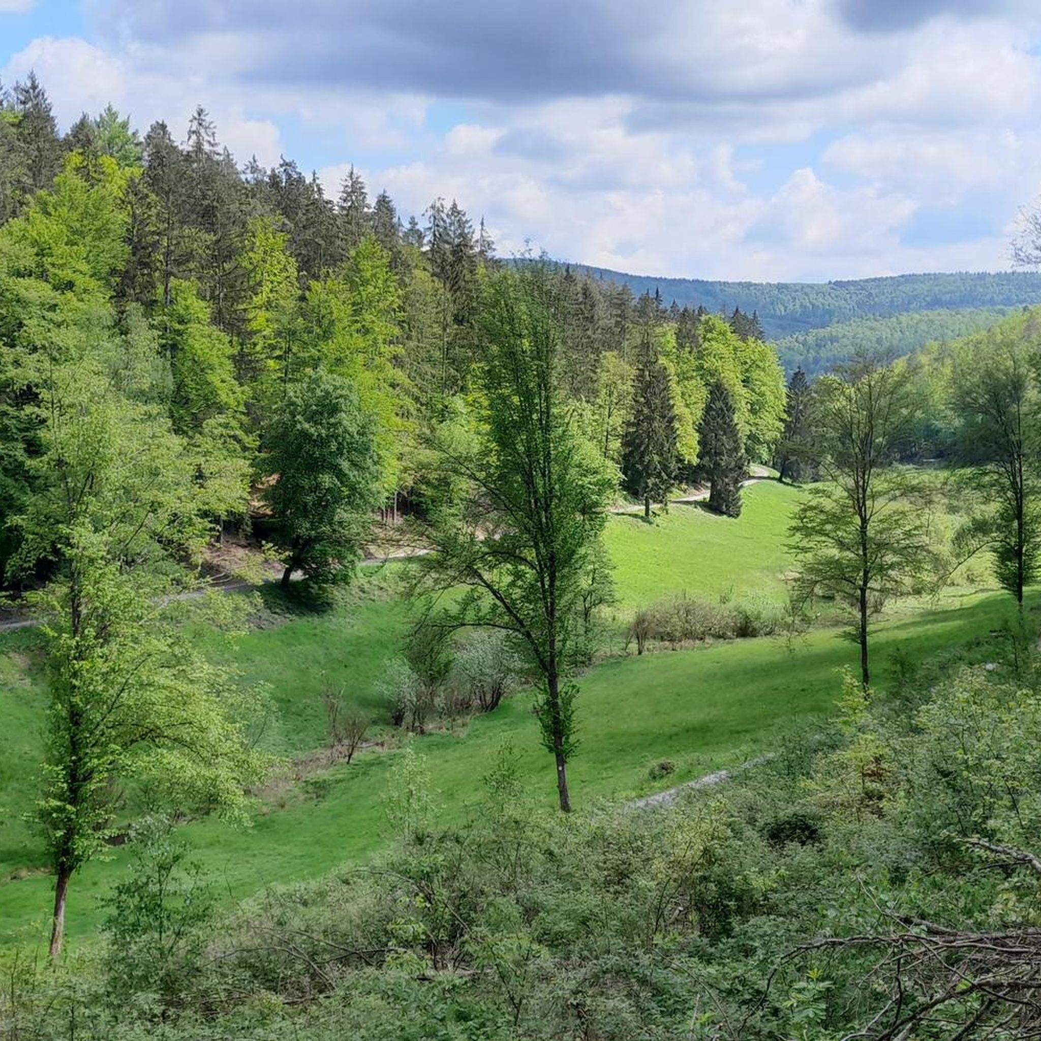
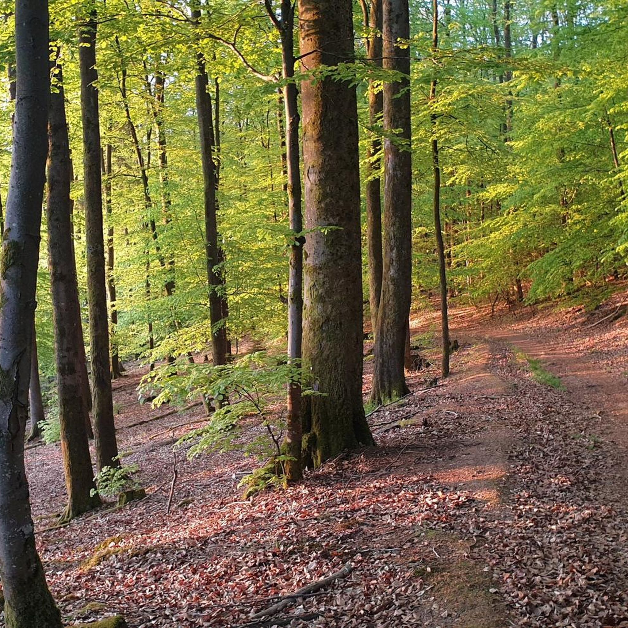
Other adventures around Rothenbucher Forst

Tips from the Community


The Hafenlohr is a 26.5 km long (27.7 km including the Tiergartenbach) right tributary of the Main River in the districts of Aschaffenburg and Main-Spessart in the Bavarian Spessart region. The Hafenlohr rises from two springs in the municipality of Rothenbuch. The longer and occasionally more water-rich branch is the Tiergartenbach, which often dries up on dry days. Officially, it is considered the upper course of the Hafenlohr main watercourse. The source, known as the Hafenlohr Spring, in the center of the village provides water almost year-round. The Hafenlohr Spring is located at Rothenbuch Castle. It was encased in sandstone during the road widening of the St 2317. Its water flows northwest through the castle moat and, after about 100 meters, flows from the left bank into the bed of the Tiergartenbach, which flows from the Tiergartengrund on the northern edge of the village and is already 1.3 km[7] long. It doesn't provide water year-round, but at times it provides more than the perennial spring at the castle. The spring at the castle was probably once a meeting place for hunters in the eastern Spessart, which is why construction of a hunting lodge began here in 1342. The spring water fed the castle moat and several surrounding trout lakes, which no longer exist. Source and further information: https://de.wikipedia.org/wiki/Hafenlohr_(Fluss)
1
0
The Hafenlohr is a 26.5 km long (27.7 km including the Tiergartenbach) right tributary of the Main River in the districts of Aschaffenburg and Main-Spessart in the Bavarian Spessart region. The Hafenlohr rises from two springs in the municipality of Rothenbuch. The longer and occasionally more water-rich branch is the Tiergartenbach, which often dries up on dry days. Officially, it is considered the upper course of the Hafenlohr main watercourse. The source, known as the Hafenlohr Spring, in the center of the village provides water almost year-round. The Hafenlohr Spring is located at Rothenbuch Castle. It was encased in sandstone during the road widening of the St 2317. Its water flows northwest through the castle moat and, after about 100 meters, flows from the left bank into the bed of the Tiergartenbach, which flows from the Tiergartengrund on the northern edge of the village and is already 1.3 km[7] long. It doesn't provide water year-round, but at times it provides more than the perennial spring at the castle. The spring at the castle was probably once a meeting place for hunters in the eastern Spessart, which is why construction of a hunting lodge began here in 1342. The spring water fed the castle moat and several surrounding trout lakes, which no longer exist. Source and further information: https://de.wikipedia.org/wiki/Hafenlohr_(Fluss)
1
0

There are some great highlights in Lohr.
1
0

Very nice trail, feels completely flat.
0
0

Beautiful descent to Lohr on the Spessartweg 1
1
0

A beautiful cycle path between Frammersbach and Partenstein.
0
0
Frequently Asked Questions
How many gravel bike trails are available in Rothenbucher Forst?
Rothenbucher Forst offers an extensive network of over 60 gravel bike trails, providing a wide range of options for exploring the Spessart Nature Park.
What kind of terrain can I expect on the gravel bike trails in Rothenbucher Forst?
The terrain in Rothenbucher Forst is diverse, featuring a mix of gravel forest roads and narrow, natural forest paths. You'll navigate through dense broadleaf woodlands, over rolling hills, and along tranquil river valleys, offering both scenic views and engaging ascents and descents.
What are the difficulty levels of gravel trails in Rothenbucher Forst?
The trails cater to various ability levels. While there are no easy-rated routes, you'll find 20 moderate and 46 difficult routes. Some paths, like the Mespelbrunn Castle – Sylvan Forest Lodge loop from Weibersbrunn, are extensive and require good fitness, while others offer a more balanced challenge.
What is the best time of year for gravel biking in Rothenbucher Forst?
The Spessart region, with its extensive broadleaf woodlands, is particularly beautiful in spring and autumn when the foliage is vibrant. Summer offers shaded routes through the dense forest, while winter conditions can vary, potentially offering unique experiences on snow-covered paths, though some trails might be less accessible.
Are there any historical landmarks or points of interest along the gravel routes?
Yes, the region is rich in history and natural beauty. You can encounter landmarks like the historic Schloss Mespelbrunn, a moated castle, which is passed by routes such as the Mespelbrunn Castle – Sylvan Forest Lodge loop from Weibersbrunn. Other points of interest include various peaks like Klosterkuppel and Geiersberg Summit, and tranquil lakes such as Waldsee Heimbuchenthal.
What natural features can I expect to see while gravel biking?
You'll ride through the expansive Spessart Forest, one of Germany's largest continuous broadleaf woodlands, offering lush, green scenery. The Hafenlohrtal Valley is particularly scenic, known for its unique cultural and natural landscape. Expect rolling hills, idyllic brook and river valleys, and several tranquil lakes like Waldsee Lake, providing picturesque spots for breaks.
Is there parking available for gravel bikers in Rothenbucher Forst?
Yes, various starting points for trails, particularly around towns like Rothenbuch, Weibersbrunn, and Neuhütten, offer parking facilities. Many forest roads and trailheads are accessible by car, making it convenient to start your ride.
How accessible is Rothenbucher Forst by public transport for gravel biking?
While the Spessart region is primarily accessed by car, some towns bordering Rothenbucher Forst may have limited bus connections. For comprehensive planning, it's advisable to check local public transport schedules for specific starting points, as direct access to all trailheads might be challenging without a car.
Are there family-friendly gravel biking options in Rothenbucher Forst?
While many routes are rated moderate to difficult, the extensive network of forest roads allows for customization. Families might find flatter sections along river valleys more suitable, though specific 'easy' rated family routes are not explicitly listed. It's recommended to check route profiles for elevation and surface type to find the most appropriate options.
Can I find places to eat or drink along the gravel routes?
Yes, the region has several rustic forest houses and inns, such as the Hohewart-Haus, which serve as popular resting spots for hikers and cyclists. Towns like Rothenbuch, Mespelbrunn, and Heimbuchenthal also offer cafes and pubs where you can refuel during or after your ride.
Are dogs allowed on the gravel bike trails?
Generally, dogs are welcome on trails in the Spessart Nature Park, provided they are kept on a leash, especially in areas with wildlife or near other visitors. Always be mindful of local regulations and other trail users.
What do other gravel bikers say about the trails in Rothenbucher Forst?
The gravel biking experience in Rothenbucher Forst is highly rated by the komoot community, with an average score of 4.4 stars from over 50 reviews. Riders often praise the diverse forest paths, the serene natural environment, and the engaging ascents and descents through the Spessart woodlands.
Are there any circular gravel routes in Rothenbucher Forst?
Yes, many of the gravel routes in Rothenbucher Forst are designed as loops, allowing you to start and end at the same point. Examples include the View of Lohr am Main – Kneipp basin in the Aubach loop from Neuhütten and the Heimbuchenthal Railway Mural – Elsava Stream in Mespelbrunn loop from Weibersbrunn, which offer varied distances and experiences.
Most popular routes around Rothenbucher Forst
Most popular attractions around Rothenbucher Forst

Get inspired with the komoot mobile app


Explore more
Browse the best Gravel rides in other regions.
