The best gravel rides around Adelsried
4.2
(101)
446
riders
66
rides
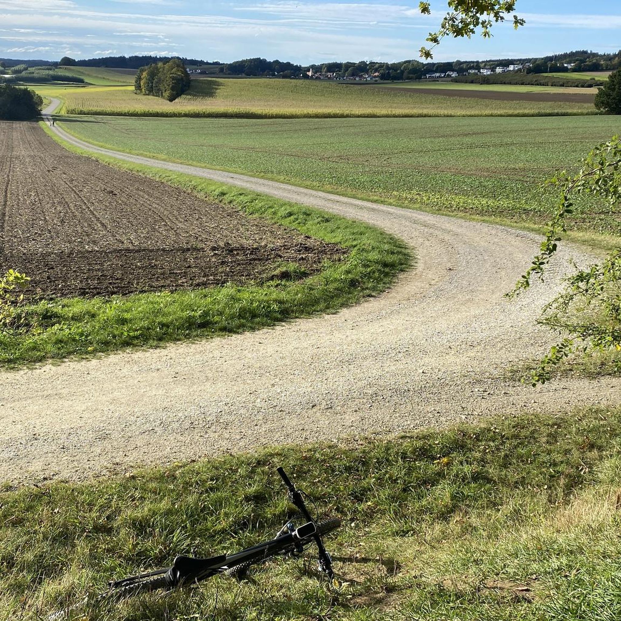
Gravel biking around Adelsried offers diverse landscapes within the Augsburg-Westliche Wälder Nature Park. The region features rolling hills, dense forests, and a mix of paved and unpaved surfaces ideal for gravel cycling. Paths along the River Lech and through nature reserves provide varied terrain. This area is characterized by its blend of natural beauty and dedicated cycling infrastructure.
Best gravel bike trails around Adelsried
- The most popular gravel bike trail is Anhauser Valley – Wertach Embankment Trail loop from Diedorf…
Last updated: July 2, 2026
4.7
(43)
146
riders
Moderate gravel ride. Good fitness required. Mostly paved surfaces. Suitable for all skill levels.
4.7
(3)
18
riders
42.6km
02:15
290m
290m
Moderate gravel ride. Good fitness required. Mostly paved surfaces. Suitable for all skill levels.

Sign up for free
4
riders
Hard gravel ride. Very good fitness required. Mostly paved surfaces. Suitable for all skill levels.
8
riders
Moderate gravel ride. Good fitness required. Mostly paved surfaces. Suitable for all skill levels.
5.0
(10)
70
riders
64.1km
03:11
220m
220m
Moderate gravel ride. Good fitness required. Mostly paved surfaces. Suitable for all skill levels.
Get access to more routes and recommendations from other explorers.
Sign up for free
Already have an account?
Our route recommendations are based on thousands of hikes, rides, and runs completed by other people on komoot.
Start today with a free account
Your next adventure awaits.
Login or Signup
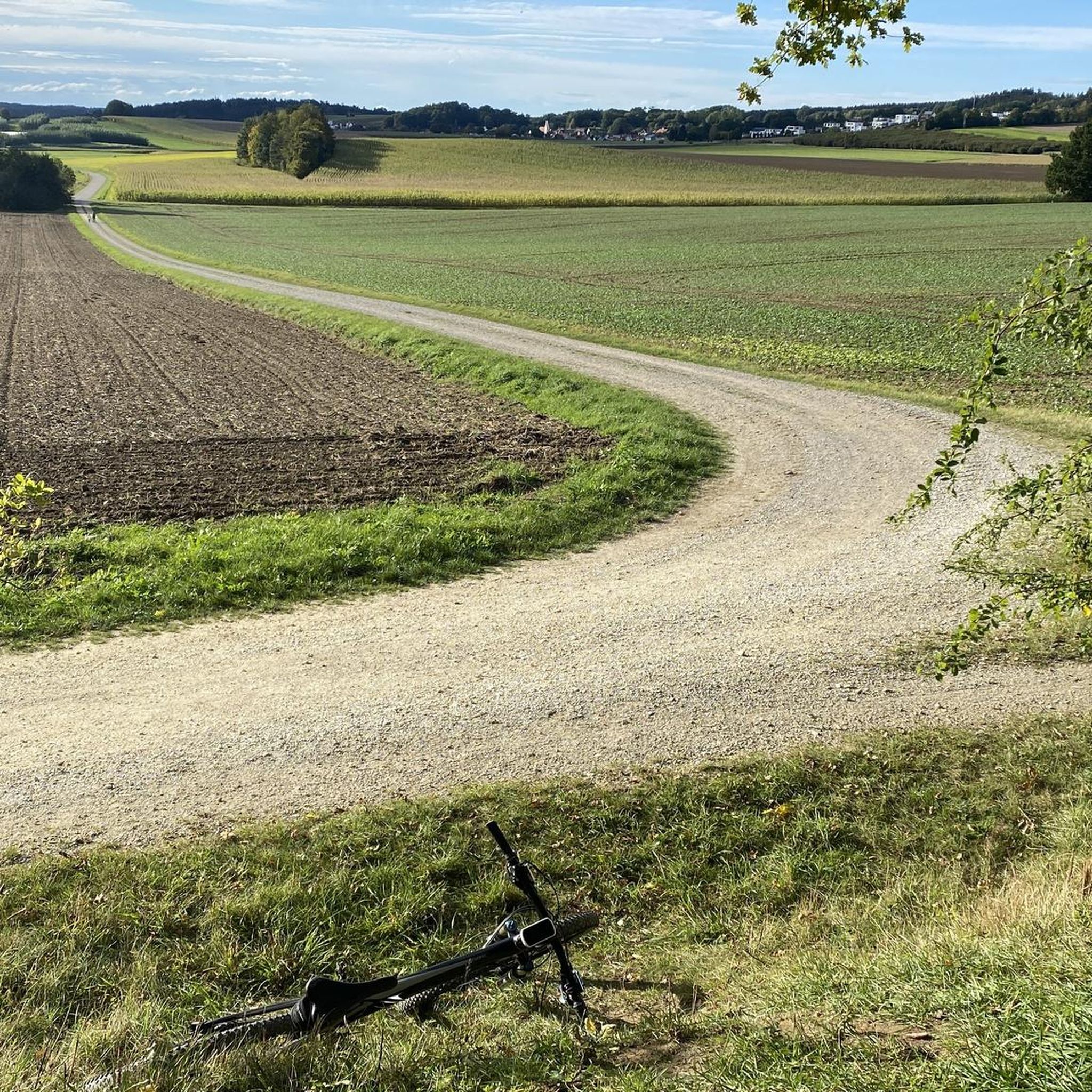
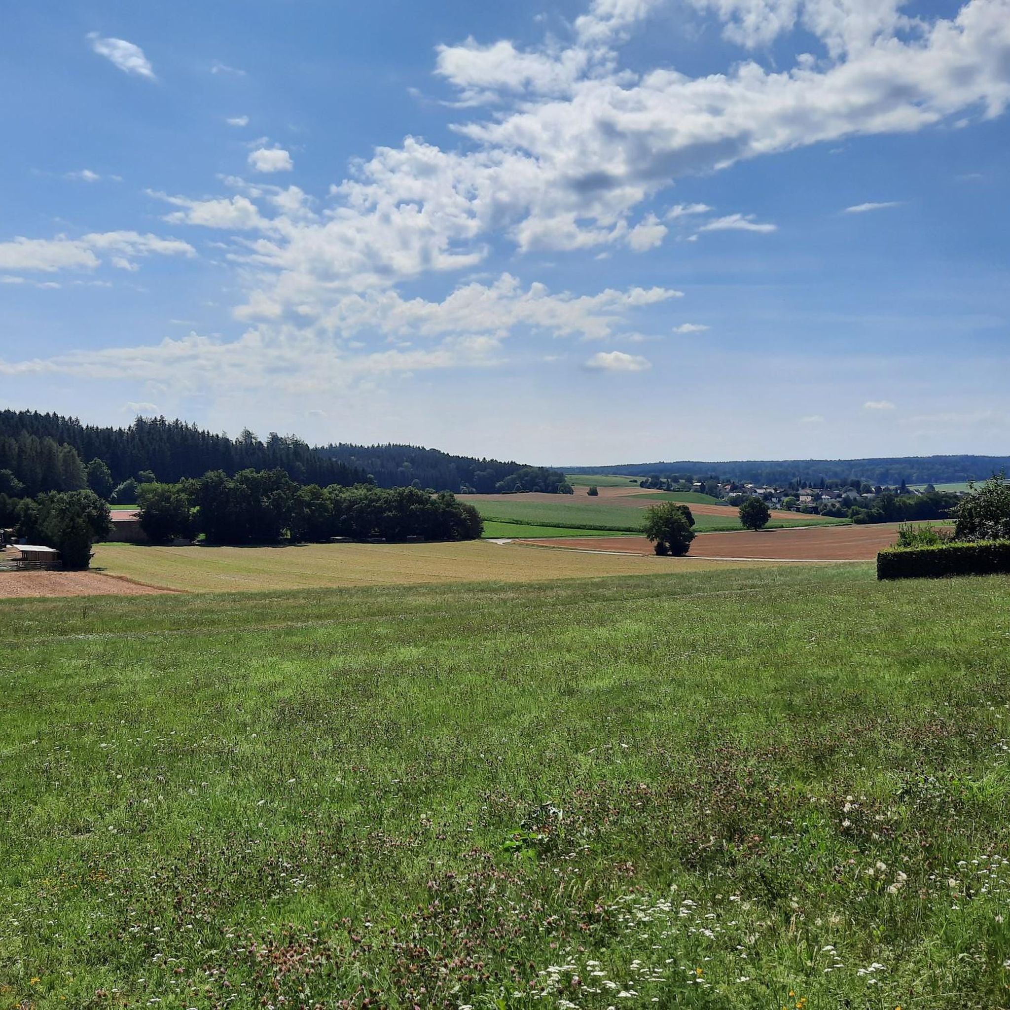
Tips from the Community

A beautiful hiking trail on both sides of the Wertach.
0
0
The pond is beautifully situated in the middle of the forest, where you can go on very long hikes.
0
0

… and always be prepared to drive a car: don’t take blind bends too fast (today, when the road through Gessertshausen was closed, many took the route through the forest 😟)
0
0

Without mosquitoes along the dam
0
0


There is a wonderful view at the top.
0
0

The best nut corners are here!
0
0
Frequently Asked Questions
How many gravel bike trails are available around Adelsried?
Adelsried offers nearly 100 gravel bike trails, catering to various skill levels. You'll find a good mix of easy, moderate, and challenging routes to explore the region's diverse landscapes.
What kind of terrain can I expect on gravel bike routes in Adelsried?
The routes around Adelsried feature a varied terrain, including rolling hills, dense forests, and picturesque fields. Many paths combine paved and unpaved surfaces, with significant gravel sections, especially on routes like the Holzwinkelradweg. You can also find well-maintained paths along the River Lech.
Are there any easy gravel bike trails suitable for beginners or families?
Yes, Adelsried has 12 easy gravel bike trails. While the guide highlights moderate routes, the region's dedicated cycling infrastructure includes options suitable for less experienced riders or families looking for a relaxed outing. Look for routes that follow former railway lines, which tend to be flatter.
What do other gravel bikers enjoy most about cycling in Adelsried?
The area is highly rated by the komoot community, with an average score of 4.4 stars from over 130 reviews. Riders often praise the diverse landscapes within the Augsburg-Westliche Wälder Nature Park, the mix of challenging and serene stretches, and the opportunity to explore natural features like the River Lech.
Are there any circular gravel bike routes in the Adelsried area?
Yes, many of the gravel routes around Adelsried are designed as loops. For example, the Anhauser Valley – Wertach Embankment Trail loop from Diedorf (Schwaben) is a popular circular option, as is the Oberschönenfeld Abbey – Anhauser Valley loop from Westheim (Schwab).
What natural attractions can I see along the gravel bike trails?
As you cycle, you can explore the Augsburg-Westliche Wälder Nature Park with its dense forests and rolling hills. Paths along the River Lech offer views of the Lechtalauen nature reserve, known for its biodiversity. A notable natural attraction is also a sulfur spring, accessible via a forest path.
Are there any historical or cultural landmarks to visit while gravel biking?
Absolutely. Cyclists can visit historical 18th-century churches and Adelsried Castle. Holzen Monastery, a former Benedictine monastery with historical architecture and an idyllic garden, is also a recommended destination a few kilometers from Adelsried.
Where can I find places to rest or eat along the routes?
The region offers several huts and cabins that can serve as rest stops. You might find places like Bahnhöfle Horgau or the Hubertus Hut. These spots often provide a chance to refuel and enjoy the surroundings.
Are there any challenging gravel bike routes for experienced riders?
Yes, Adelsried offers 14 difficult gravel bike trails for those seeking a challenge. Routes like the Holzwinkelradweg, while not explicitly listed as difficult in the guide, are known for sometimes poorly passable gravel roads and significant elevation changes, providing a demanding ride.
Can I combine gravel biking with other outdoor activities in the area?
Yes, Adelsried's location within the Augsburg-Westliche Wälder Nature Park makes it ideal for combining gravel biking with other activities. You can explore hiking trails, observe rare bird species in the Lechtalauen nature reserve, or visit nearby bike parks like Biotop Trail Deuringen.
What is the longest gravel bike route mentioned in the guide?
The longest route highlighted in the guide is the Göggingen Wertach Bridge – Wertach Embankment Trail loop from Neusäß, covering approximately 63.4 kilometers (39.4 miles).
Are there any routes that offer scenic viewpoints?
Many routes in the region provide scenic views, particularly those traversing the rolling hills and dense forests of the Augsburg-Westliche Wälder Nature Park. The View of the Schmutter Valley loop from Westheim (Schwab) is specifically named for its vistas over the Schmutter Valley.
Most popular attractions around Adelsried

Get inspired with the komoot mobile app


Explore more
Browse the best Gravel rides in other regions.
