The best gravel rides around Natternbach
4
riders
2
rides
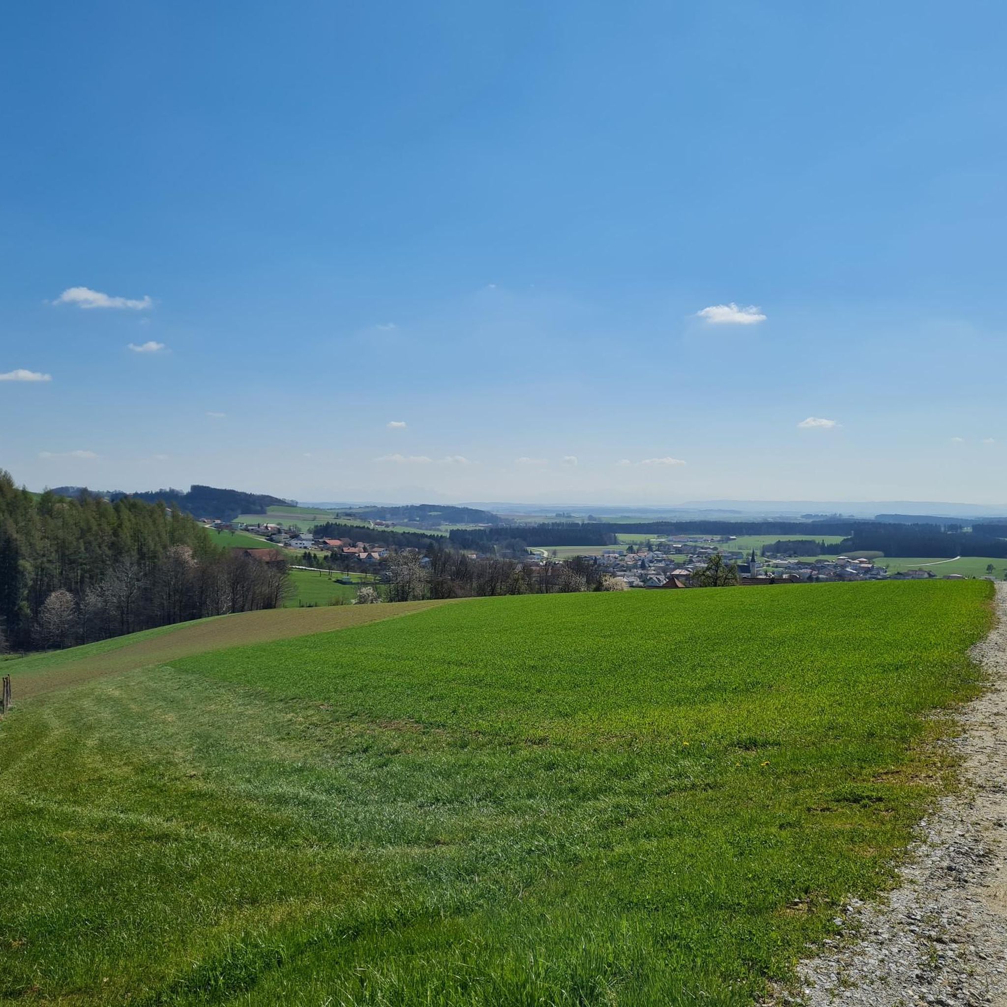
Gravel biking around Natternbach offers diverse landscapes in the Grieskirchen district of Upper Austria. The region features a mix of paved and unpaved paths, ideal for gravel bikes, with routes often following river valleys and ascending into surrounding hills. Proximity to the Danube River provides natural scenery, including the Schlögen Loop, while the Sauwald forest offers additional exploration opportunities. The terrain includes rolling hills, dense forests, and meadows, creating varied conditions for cyclists.
Best gravel bike trails around Natternbach
- The…
Last updated: July 2, 2026
2
riders
Hard gravel ride. Very good fitness required. Mostly paved surfaces. Suitable for all skill levels.
1
riders
31.4km
02:05
430m
430m
Moderate gravel ride. Good fitness required. Mostly paved surfaces. Suitable for all skill levels.

Sign up for free
1
riders
Hard gravel ride. Very good fitness required. Mostly paved surfaces. Suitable for all skill levels.
Our route recommendations are based on thousands of hikes, rides, and runs completed by other people on komoot.
Start today with a free account
Your next adventure awaits.
Login or Signup

Tips from the Community

Aschach an der Donau is one of those places that you visit and immediately feel like you are in a postcard. It is one of the oldest and most charming market towns in Upper Austria (Eferding district) and is located directly on the great Danube loop. For centuries, Aschach was an important hub for shipping and trade. This is still reflected in the townscape today. The row of houses directly on the Danube promenade largely dates from the 16th century (Renaissance and Baroque). The facades are magnificently restored and a popular photo motif.
0
0

Weidenholz Castle is located in the district of the same name in the municipality of Waizenkirchen in the Grieskirchen district of Upper Austria.
0
0


13th century: Expansion into a moated castle with a moat, four-story residential building, rectangular courtyard with arcades, and a surviving tower. The moat is still completely intact today, giving the castle its distinctive character.
0
0

Many cafes and restaurants along the Danube, perfect for a break on your bike tour.
1
0

beautiful little town on the Danube
1
0
The church, dedicated to Saint Margaret, belongs to the deanery of Peuerbach in the diocese of Linz.
0
0

Yes, it's going great now after they "reworked" the road.
0
0
Frequently Asked Questions
How many gravel bike trails are available around Natternbach?
There are over 10 gravel bike trails documented around Natternbach on komoot, offering a diverse range of options for exploration.
Are there challenging gravel bike routes for experienced riders?
Yes, Natternbach offers several challenging routes. For instance, the View of Passau's Old Town – Schlögen Loop loop from Engelhartszell an der Donau is a difficult 63.2-mile (101.7 km) path featuring extensive riding through varied terrain, including sections near the famous Schlögen Loop.
What are the typical distances of gravel bike trails in Natternbach?
The gravel bike trails around Natternbach vary significantly in distance. You'll find routes ranging from shorter options like the Hengstberg Lookout Point – Hengstberg Viewpoint loop from Eschenau im Hausruckkreis at 16.8 miles (27 km) to much longer, more demanding tours such as the 63.2-mile (101.7 km) View of Passau's Old Town – Schlögen Loop loop from Engelhartszell an der Donau.
Are there many loop gravel bike routes available?
Yes, many of the gravel bike routes around Natternbach are designed as loops, allowing you to start and finish at the same point. A popular example is the View of Passau's Old Town – Obernzell town center loop from Ginzldorf, which is a 43.6-mile (70.2 km) circular trail.
What kind of viewpoints can I expect along gravel bike routes in Natternbach?
The region offers numerous scenic viewpoints. You can find highlights like the Penzenstein Viewpoint or the View from Ebenstein Rock across the Danube Valley. Many routes also pass by summits such as Haugstein Summit (895 m), offering panoramic views.
What nearby attractions can I explore while gravel biking in Natternbach?
Beyond the trails, you can explore various attractions. The region features several lakes and water features, including the Konzinger Steg — Footbridge over the Ranna Reservoir and the Ranna Reservoir Dam. There are also notable peaks like Turnstein – Highest Point in Natternbach.
When is the best time of year for gravel biking in Natternbach?
The best time for gravel biking in Natternbach is typically from spring through autumn (April to October). During these months, the weather is generally mild, and the trails are in good condition, allowing for comfortable riding through the river valleys and rolling hills.
What do other gravel bikers enjoy most about gravel biking in Natternbach?
The area is highly rated by the komoot community, with an average score of 4.4 stars from over 20 reviews. Reviewers often praise the diverse landscape, which combines river valleys with challenging ascents into surrounding hills, and the mix of paved and unpaved surfaces characteristic of good gravel routes.
Are there any family-friendly gravel bike trails in Natternbach?
While many routes in Natternbach are rated as moderate to difficult, the region's network of paths along the Danube River valley can offer flatter, more accessible sections suitable for families. It's advisable to check the specific route profiles for elevation and terrain to ensure it matches your family's ability.
Can I reach gravel bike trailheads by public transport in Natternbach?
Natternbach and its surrounding towns are generally accessible by local bus services, which can connect you to various starting points. For routes along the Danube, train stations in larger nearby towns might offer better connections. Always check local public transport schedules and bike carriage policies in advance.
Where can I find parking for gravel biking in Natternbach?
Parking is typically available in the centers of Natternbach and surrounding villages, often near public facilities or designated parking areas. For routes starting from specific points like Engelhartszell an der Donau or St. Agatha, look for local parking options close to the trailhead.
Are there gravel bike trails with good cafe stops or places to refuel?
Many routes in the Natternbach region pass through or near charming villages and towns along the Danube. These often have local cafes, bakeries, or inns where you can stop for refreshments and refuel during your ride. Planning your route with komoot allows you to easily identify such points of interest.
Most popular routes around Natternbach
Most popular attractions around Natternbach

Get inspired with the komoot mobile app


Explore more
Browse the best Gravel rides in other regions.
