The best running trails around Natternbach
4.2
(24)
571
runners
17
runs
Jogging around Natternbach offers diverse landscapes characterized by the Danube River and its scenic riverside paths. The region features varied terrain, including gentle slopes and more challenging ascents, with routes often passing through forests and open countryside. This area provides a mix of paved surfaces and natural trails, catering to different preferences for running. The elevation changes across the routes range from modest to significant, providing options for various fitness levels.
Best jogging routes around Natternbach
- The most popular jogging…
Last updated: October 5, 2026
13
runners
8.23km
00:52
70m
70m
Moderate run. Good fitness required. Mostly paved surfaces. Suitable for all skill levels.
9
runners
9.30km
00:59
100m
100m
Moderate run. Good fitness required. Mostly paved surfaces. Suitable for all skill levels.

8
runners
13.0km
01:28
240m
240m
Moderate run. Good fitness required. Mostly paved surfaces. Suitable for all skill levels.
3
runners
5.73km
00:37
80m
80m
Moderate run. Good fitness required. Mostly paved surfaces. Suitable for all skill levels.
3
runners
17.3km
01:56
330m
330m
Hard run. Very good fitness required. Mostly paved surfaces. Suitable for all skill levels.
Get access to more routes and recommendations from other explorers.
Already have an account?
Our route recommendations are based on thousands of hikes, rides, and runs completed by other people on komoot.
Start today with a free account
Your next adventure awaits.

Tips from the Community


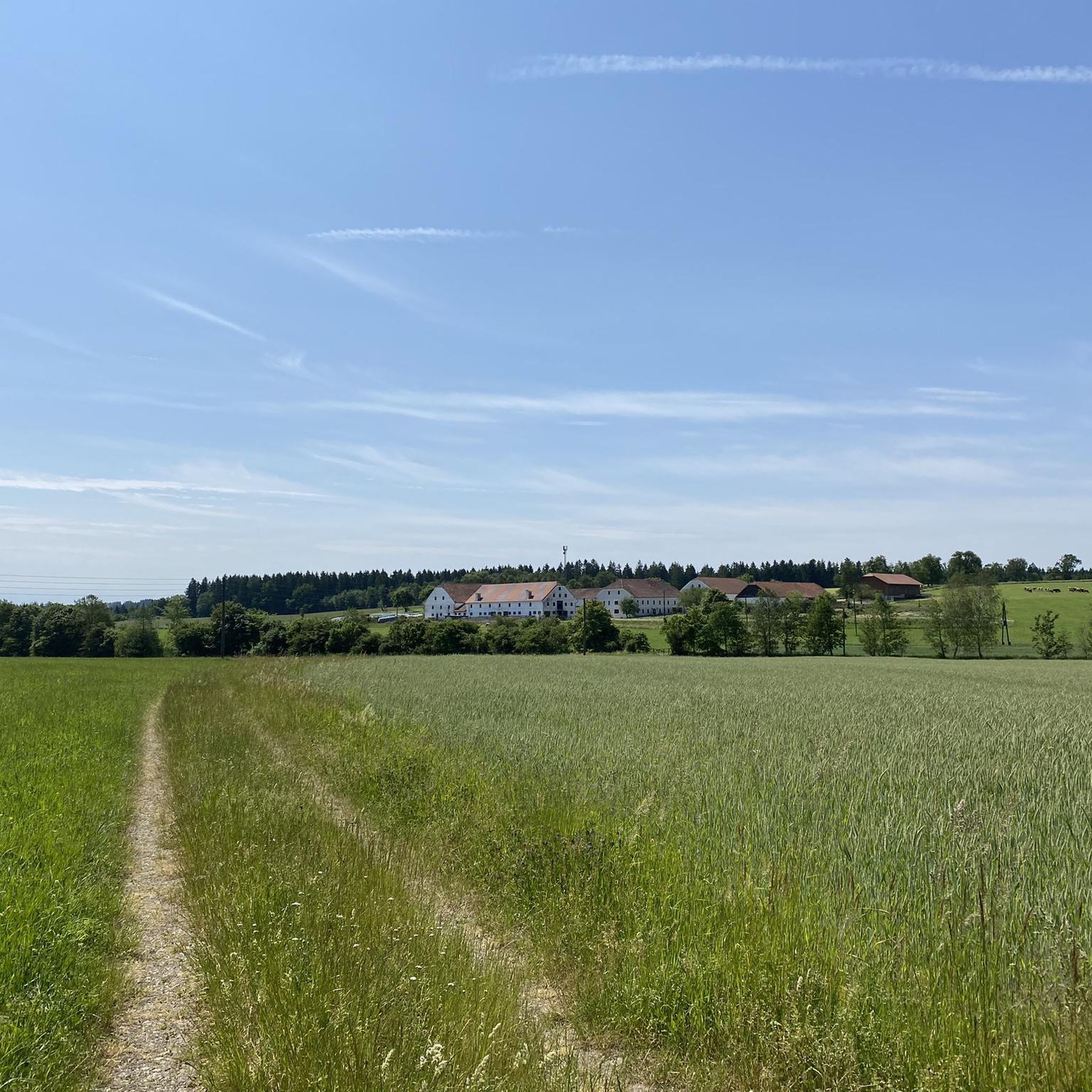
The highest point of Natternbach with a rest area and a wonderful view
1
0

The church, dedicated to Saint Margaret, belongs to the deanery of Peuerbach in the diocese of Linz.
0
0

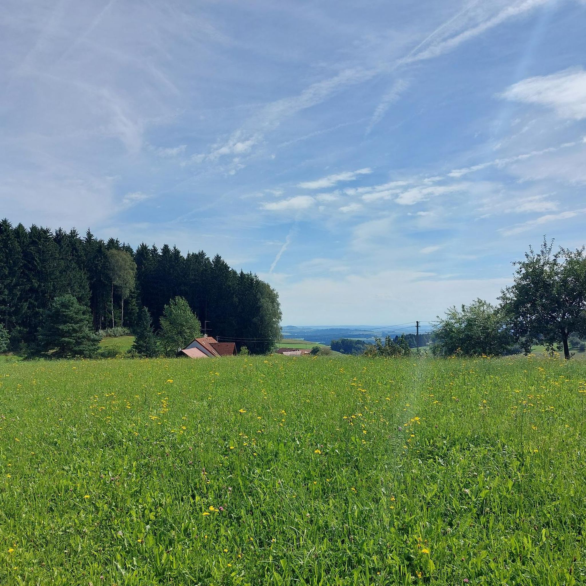
Great view of the Alpine foothills
0
0

Here you will be rewarded with a fantastic view - even in cloudy weather! The gymnastics stone itself can be easily climbed by children and adults who remain children ;)
1
0


Very beautiful view
1
0
A beautiful view of the foothills of the Alps
0
0
Frequently Asked Questions
How many running routes are available in Natternbach?
Natternbach offers a good selection of running routes, with over 15 trails available for you to explore. These routes cater to various preferences, from moderate loops to more challenging runs.
What kind of terrain can I expect on jogging routes in Natternbach?
The jogging routes around Natternbach feature diverse landscapes. You'll find a mix of riverside paths along the Danube, forested sections, and open countryside. The terrain includes both paved surfaces and natural trails, with elevation changes ranging from gentle slopes to more significant ascents.
Are there running routes suitable for different fitness levels?
Yes, Natternbach provides options for various fitness levels. While most routes are classified as moderate, there are also a couple of more challenging trails for experienced runners seeking greater elevation gains and longer distances. For example, the Parish Church of Natternbach – Schopf Chapel loop from Natternbach is a difficult route covering over 17 km.
What do other runners say about the trails in Natternbach?
The running routes in Natternbach are highly regarded by the komoot community, holding an average rating of 4.2 stars from over 15 reviews. More than 500 runners have already used komoot to discover the varied terrain here, often praising the scenic beauty and well-maintained paths.
Can I find circular running routes in Natternbach?
Absolutely. Many of the running paths in Natternbach are designed as loops, allowing you to start and finish at the same point. A great example is the Running loop from Natternbach, which offers a moderate 5.7 km circular path.
Are there routes with scenic viewpoints or natural landmarks?
Yes, the region around Natternbach is rich in natural beauty. You can find stunning views, especially along the Danube River, such as the famous Schlögen Loop. Nearby highlights include the Penzenstein Viewpoint and the View from Ebenstein Rock across the Danube Valley, offering expansive vistas that can be incorporated into your running adventures.
Are the running trails in Natternbach dog-friendly?
While specific regulations for dogs on every trail aren't detailed, generally, dogs are welcome on most outdoor paths in Austria, provided they are kept on a leash and owners clean up after them. It's always a good idea to check local signage or specific route descriptions for any restrictions before heading out with your canine companion.
Are there any natural gorges or valleys to explore near the running routes?
Yes, the area boasts several impressive natural features. You can explore the Aschach Valley or the Ranna Valley, which offer unique landscapes. The Fords Trail in the Ranna Valley is another interesting spot for those looking to combine their run with exploring natural gorges.
What is a good moderate-length running route for a consistent run?
For a consistent, moderate-length run, the Running loop from Untermaggau is an excellent choice. This 8.2 km (5.1 miles) trail takes about 50 minutes to complete and offers varied terrain suitable for maintaining a steady pace.
Are there any higher points or summits accessible near the running trails?
Yes, for those interested in combining running with reaching higher elevations, there are several summits and viewpoints nearby. The Turnstein – Highest Point in Natternbach is a local peak, and the Haugstein Summit (895 m) is also within reach, offering more challenging ascents and rewarding views.
What is the best time of year for jogging in Natternbach?
Natternbach is suitable for jogging throughout much of the year. Spring and autumn offer pleasant temperatures and vibrant scenery, making them ideal. Summer can also be great, especially in the mornings or evenings, while winter running is possible, though some trails might require appropriate gear due to snow or ice.
Most popular routes around Natternbach
Most popular attractions around Natternbach

Get inspired with the komoot mobile app


Explore more
Browse the best Running Trails & Routes in other regions.
