The best gravel rides around Ottobeuren
4.5
(58)
291
riders
47
rides
Gravel biking around Ottobeuren offers diverse terrain within the picturesque Allgäu region of Bavaria. The area features gently undulating topography, scenic valleys, and rolling hills, providing varied riding experiences. Riders can expect a mix of gravel paths, narrow asphalt roads, and forest trails, often traversing expansive forests, verdant meadows, and agricultural fields. The region is characterized by its proximity to the Allgäu Alpine foothills and distant views of the Alps, with the Iller River also providing natural features for routes.
…Last updated: October 19, 2026
4.0
(13)
56
riders
39.2km
02:25
270m
270m
Moderate gravel ride. Good fitness required. Mostly paved surfaces. Suitable for all skill levels.
3.5
(2)
24
riders
36.9km
01:50
100m
100m
Easy gravel ride. Great for any fitness level. Mostly paved surfaces. Suitable for all skill levels.

4.6
(5)
20
riders
26.6km
01:42
210m
210m
Moderate gravel ride. Good fitness required. Mostly paved surfaces. Suitable for all skill levels.
4.9
(8)
18
riders
27.4km
01:30
160m
160m
Moderate gravel ride. Good fitness required. Mostly paved surfaces. Suitable for all skill levels.
4.5
(4)
17
riders
23.6km
01:35
180m
180m
Moderate gravel ride. Good fitness required. Mostly paved surfaces. Suitable for all skill levels.
Get access to more routes and recommendations from other explorers.
Already have an account?
Our route recommendations are based on thousands of hikes, rides, and runs completed by other people on komoot.
Start today with a free account
Your next adventure awaits.
Popular around Ottobeuren
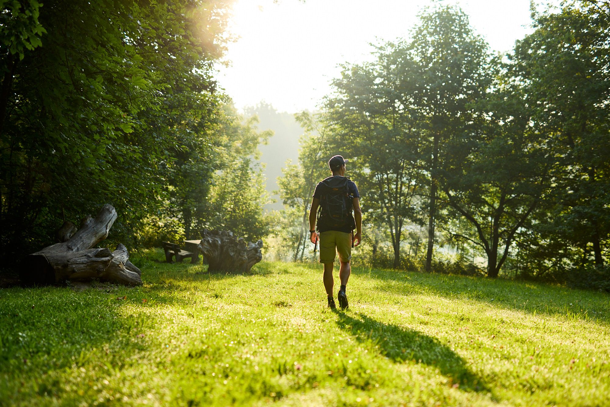
With Kneipp through nature – Happiness Trails (Glücksweg) in Allgäu
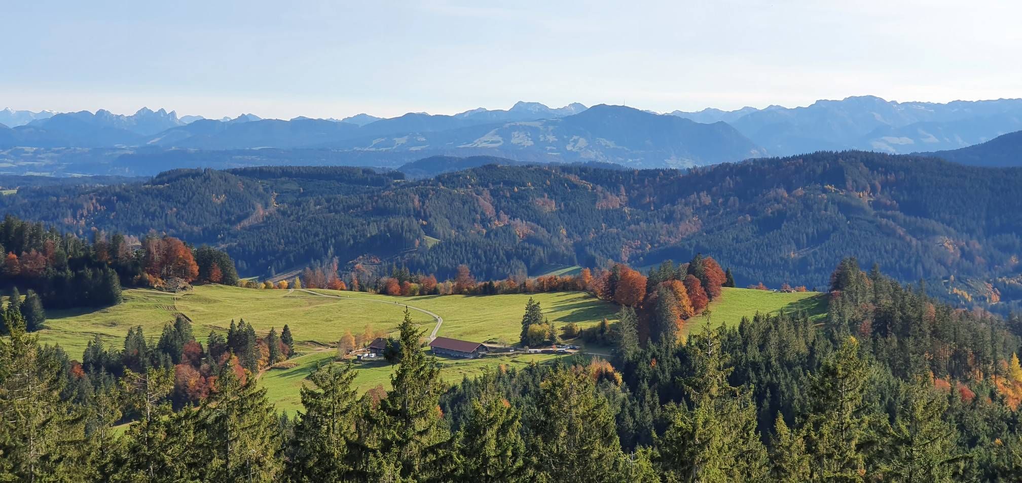
Alpine foothills on the Meadow Walkers’ Route – Allgäu hiking trilogy
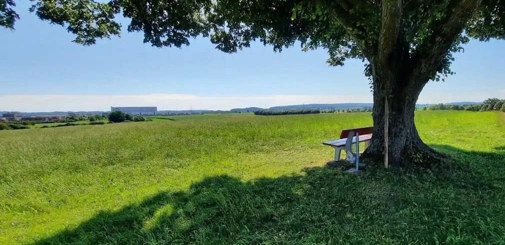
A saintly hike in the Allgäu – Crescentia Pilgrimage Route
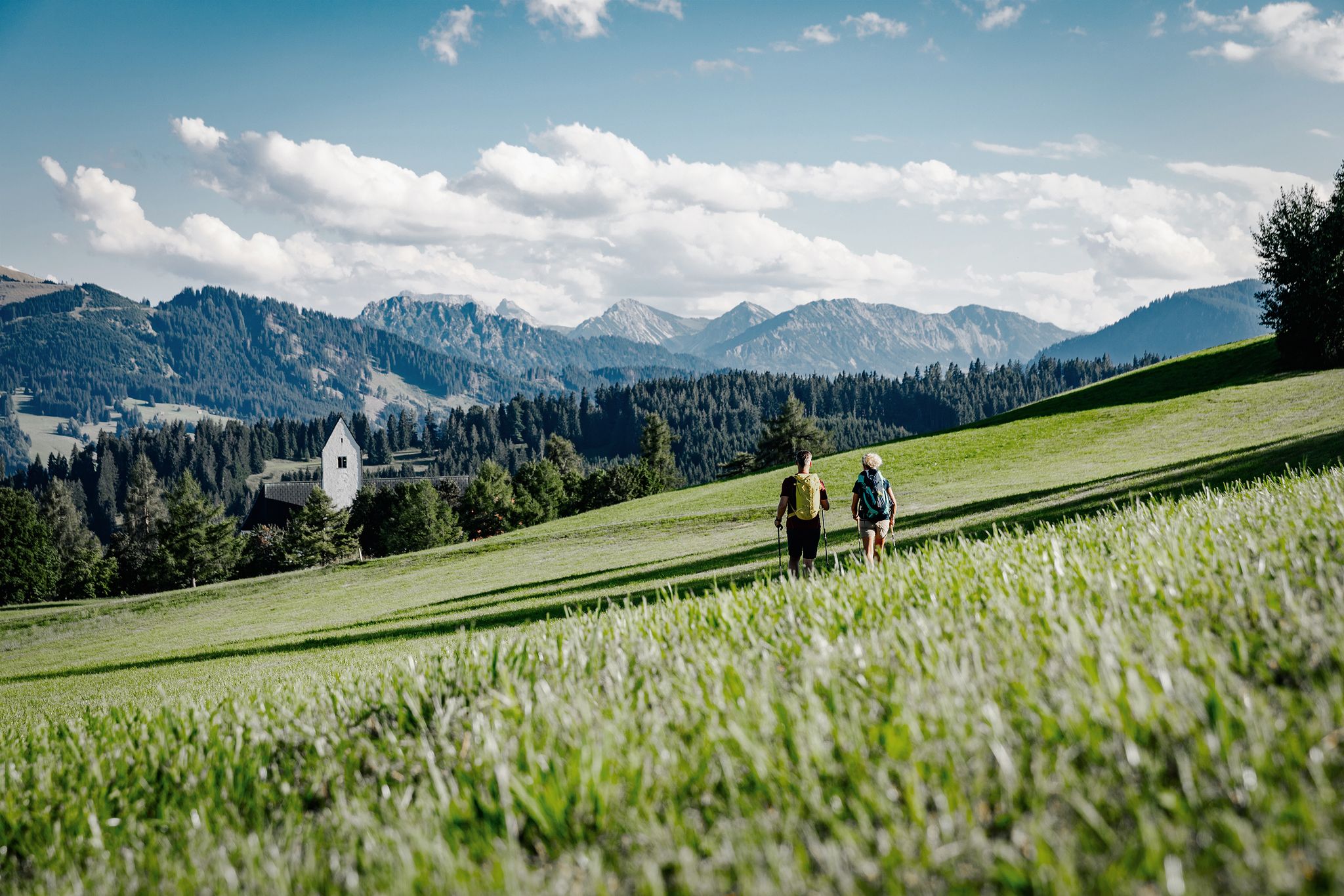
Frühlingsgefühle „loading“ – Halb- & Tagestouren im Allgäu
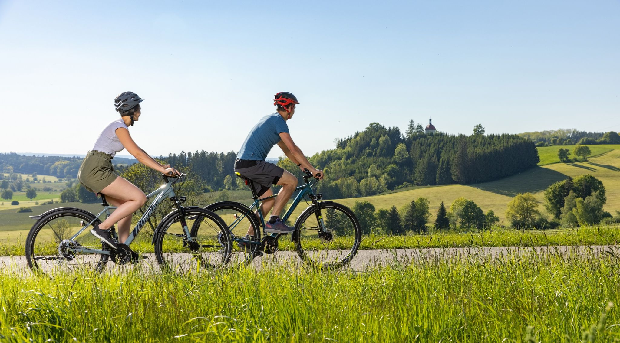
Radfahren in Ottobeuren - Bayerisches Alpenvorland
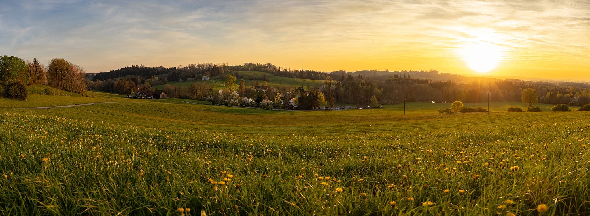
Wandern in Ottobeuren - Bayerisches Alpenvorland
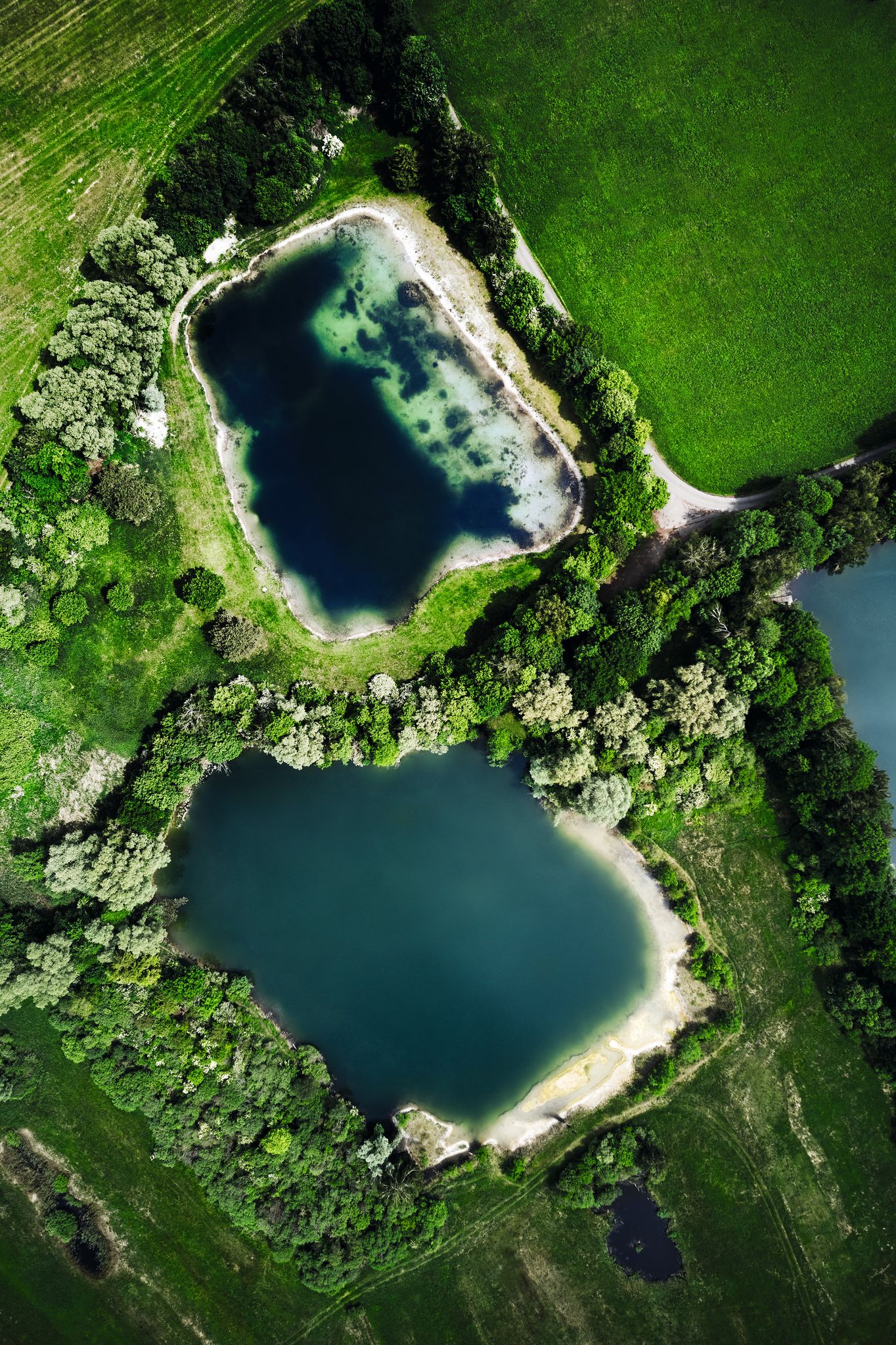
Glückswege Allgäu im Unterallgäu
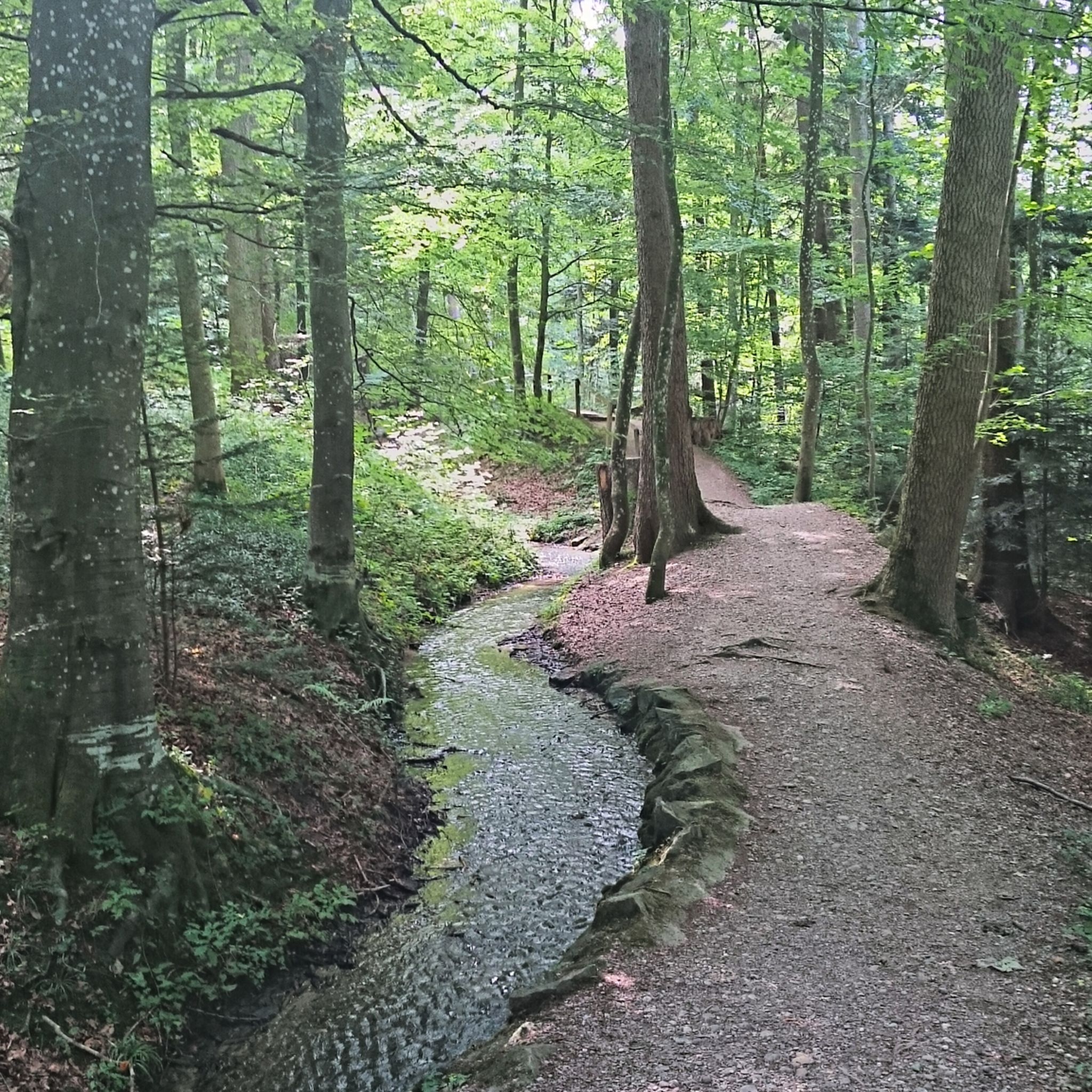
Hiking around Ottobeuren
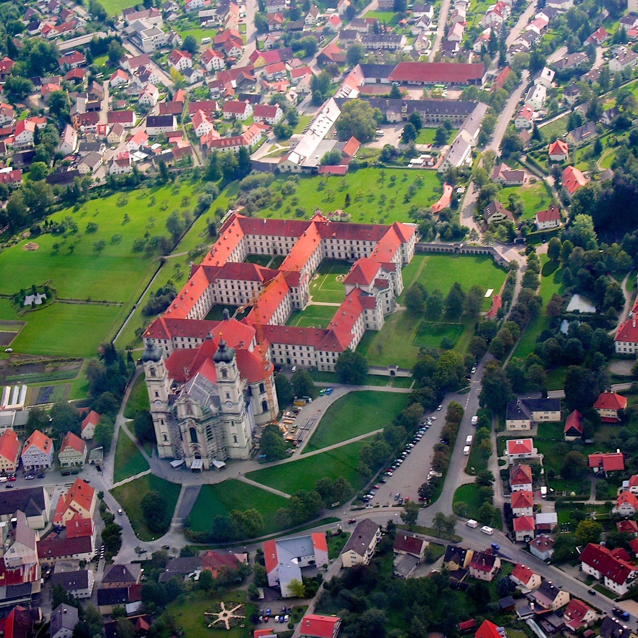
Cycling around Ottobeuren
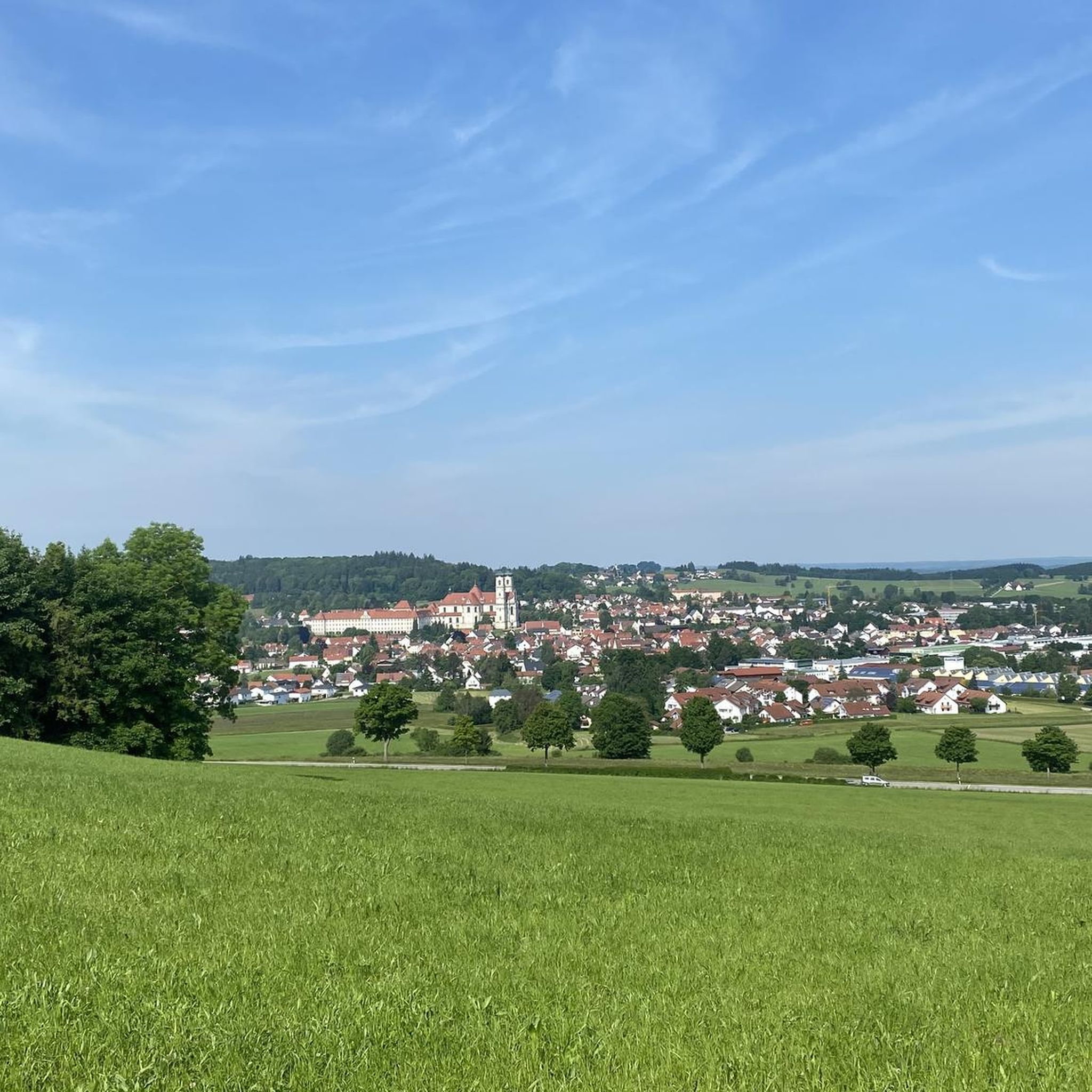
Road Cycling Routes around Ottobeuren
Other adventures around Ottobeuren


Tips from the Community

The cycle path to the northern Egelsee will certainly be closed until 2027 due to construction work in the Iller. Heavy trucks drive there during the day, so stick to the ban or ride after work.
0
0
The cycle path to the northern Egelsee is certainly still closed until 2027 due to construction work in the Iller. Heavy trucks drive there during the day, so stick to the ban or ride after work hours.
0
0

Here you can have a good and cozy stop and always meet cyclists with pleasure.
0
0
My date from 2025 was total nonsense, my brother and I cycled in 2026 towards Buxheim to the construction site when the construction workers had finished for the day. Do not ride during the day under any circumstances, it is far too dangerous. The detour via Heimertingen still exists and probably also until next year. It could become really beautiful when it is finished, whenever that may be.
0
0

The first evidence of settlement dates back to the Stone Age, as demonstrated by finds along the Iller River near Ferthofen. Records only reappear in the 4th century, as the Augsburg library was destroyed several times, resulting in the loss of documents. Mammingin was first mentioned in 1128. The city walls, towers, and gates were last expanded in 1445.
0
0

The hiking and cycling path runs in a straight line alongside the Iller River. The path is gravelled and grassy in the middle. Alongside the cycle path, you can see the floodplain forest. Between the Iller River and the cycle path, there is a grassy strip about 3 meters wide. Wildlife can probably be spotted here frequently, as there is a hunting lodge in between. At least the fish were also taken into consideration at the weir. A fish ladder is located along the edge.
0
0

Unfortunately a boring section
0
0
Frequently Asked Questions
How many gravel bike trails are available around Ottobeuren, and what are their difficulty levels?
Ottobeuren offers a wide selection of over 100 gravel bike routes. These trails cater to various skill levels, with 6 routes classified as easy, 66 as moderate, and 29 as difficult, ensuring there's a suitable ride for everyone.
What kind of terrain can I expect when gravel biking in Ottobeuren?
The terrain around Ottobeuren is diverse, featuring gently undulating topography, scenic valleys, and rolling hills. You'll encounter a mix of gravel paths, narrow asphalt roads, and forest trails, often traversing expansive forests, verdant meadows, and agricultural fields. While generally not overly technical, some sections might have coarser gravel or roots, adding a bit of challenge.
Are there any scenic viewpoints or natural features to look out for on the gravel trails?
Yes, many routes offer breathtaking panoramic views of the Allgäu Alpine foothills and the majestic Alps in the distance. You can also explore natural features like the Iller River, with spectacular vistas near Altusried and an 80-meter suspension bridge near Legau. The beautiful Schachenweiher pond is another popular spot amidst meadows and forests.
What do other gravel bikers enjoy most about the trails in Ottobeuren?
The gravel biking routes in Ottobeuren are highly rated by the komoot community, with an average score of 4.4 stars from over 80 reviews. Riders often praise the varied terrain, the stunning views of the Allgäu Alps, and the peaceful experience of cycling through forests and meadows away from heavy traffic.
Are there any family-friendly gravel bike routes in the area?
Yes, Ottobeuren offers several routes suitable for families. For a relatively flat and accessible ride, consider the Bench by the Railway Track – Old Railway Track loop from Woringen, which follows an old railway track. The region's gentle hills and well-maintained paths make many easy and moderate routes enjoyable for families.
Can I bring my dog on the gravel bike trails around Ottobeuren?
Many of the gravel paths and forest trails around Ottobeuren are suitable for cycling with dogs, especially those away from busy roads. Always ensure your dog is well-behaved, on a leash where required, and that you carry enough water for both of you. The serene environment of the forests and meadows is generally welcoming for canine companions.
What is the best time of year for gravel biking in Ottobeuren?
The best time for gravel biking in Ottobeuren is typically from spring through autumn. During these seasons, the weather is generally mild, and the landscapes are vibrant. While winter riding is possible, be prepared for colder temperatures and potentially snowy or icy conditions on some trails.
Are there any notable cultural or historical attractions near the gravel routes?
Absolutely. Ottobeuren is home to the magnificent Benedictine Abbey, a splendid example of Baroque architecture, which is a significant cultural attraction. You might also encounter the Devil's Kitchen, Allgäu or the Geological Organs (Nagelfluh rock formations), which are natural monuments in the vicinity.
Where can I find parking for gravel biking in Ottobeuren?
Ottobeuren and its surrounding towns offer various parking options, often near trailheads or in town centers. Many routes, like the View of the Allgäu Alps loop from Obergünzburg, start from locations with accessible parking. Look for designated parking areas in villages like Obergünzburg, Woringen, or Bad Grönenbach.
Are there any circular gravel bike routes available?
Yes, many of the gravel bike routes around Ottobeuren are designed as loops, allowing you to start and end at the same point. Examples include the popular View of the Allgäu Alps loop from Obergünzburg and the Iller Gorge loop from Bad Grönenbach, offering convenient circular journeys.
What is the typical length and duration of gravel bike routes near Ottobeuren?
The routes vary significantly in length and duration. For instance, the Günz Trail loop from Markt Rettenbach is about 16.3 miles (26.3 km) and takes around 1 hour 55 minutes, while longer routes like the View of the Allgäu Alps loop from Obergünzburg cover 21.9 miles (35.3 km) and can take over 2 hours 45 minutes.
Are there opportunities to cool off or swim along the gravel bike trails?
Yes, the region boasts several beautiful lakes and ponds. The Schachenweiher is a popular spot for swimming during summer. Additionally, the Iller River near Legau features a pebble beach, ideal for cooling off after a ride. You might also find Kneipp pools as part of the local Kneipp tradition for refreshment.
Can I reach Ottobeuren and its trails using public transport with my bike?
Ottobeuren is generally accessible by public transport within the Allgäu region. While specific bike carriage policies vary by operator and train/bus line, it's often possible to transport bikes on regional trains. It's advisable to check with local transport providers beforehand for their current regulations and any potential fees for bike transport.
Most popular routes around Ottobeuren
Most popular attractions around Ottobeuren

Get inspired with the komoot mobile app


Explore more
Browse the best Gravel rides in other regions.
