The best walks and hikes in Jämtland
4.5
(2221)
10,707
hikers
413
hikes
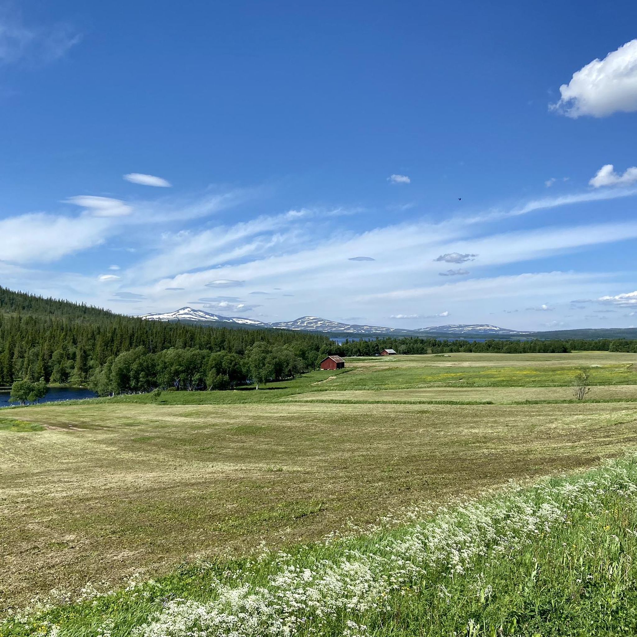
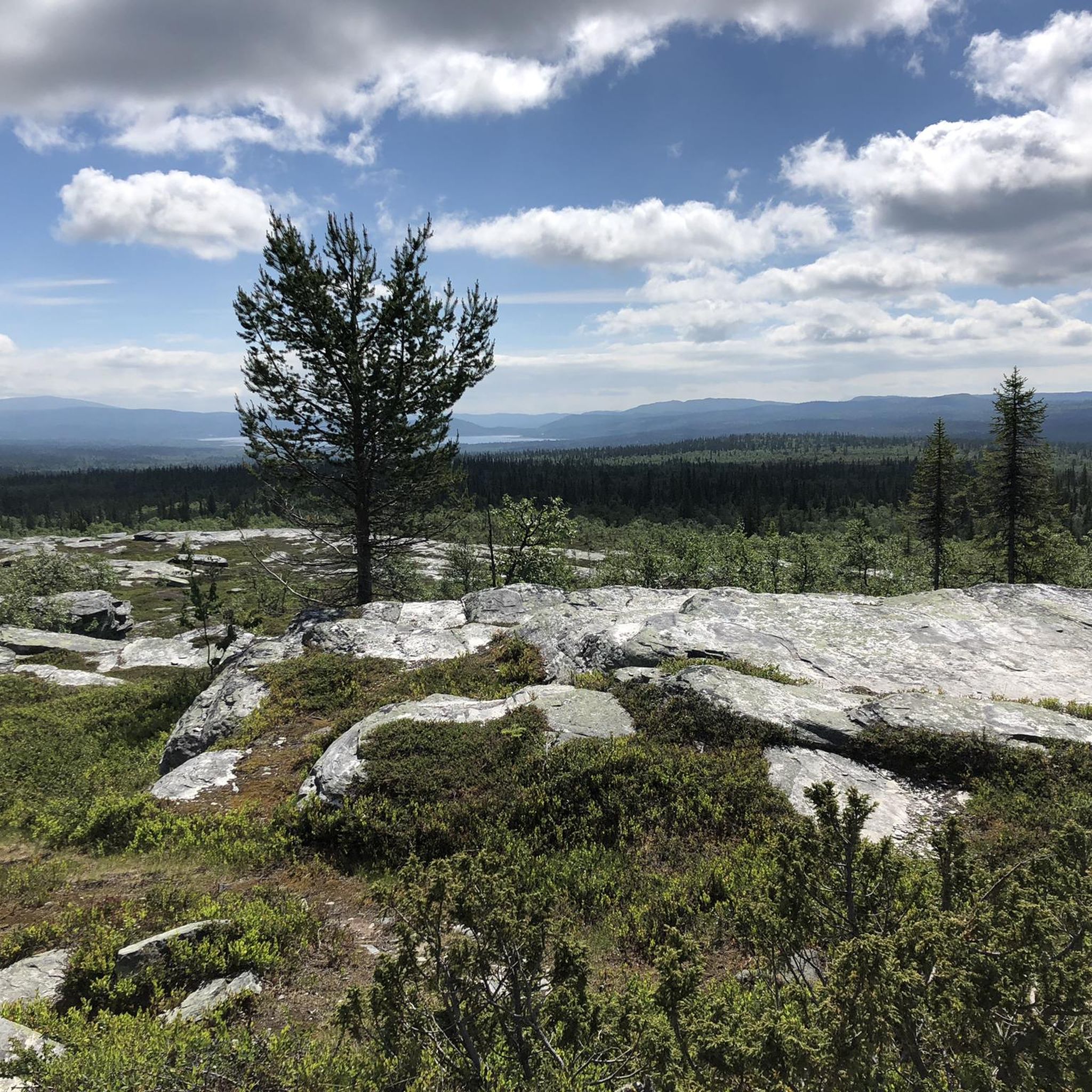
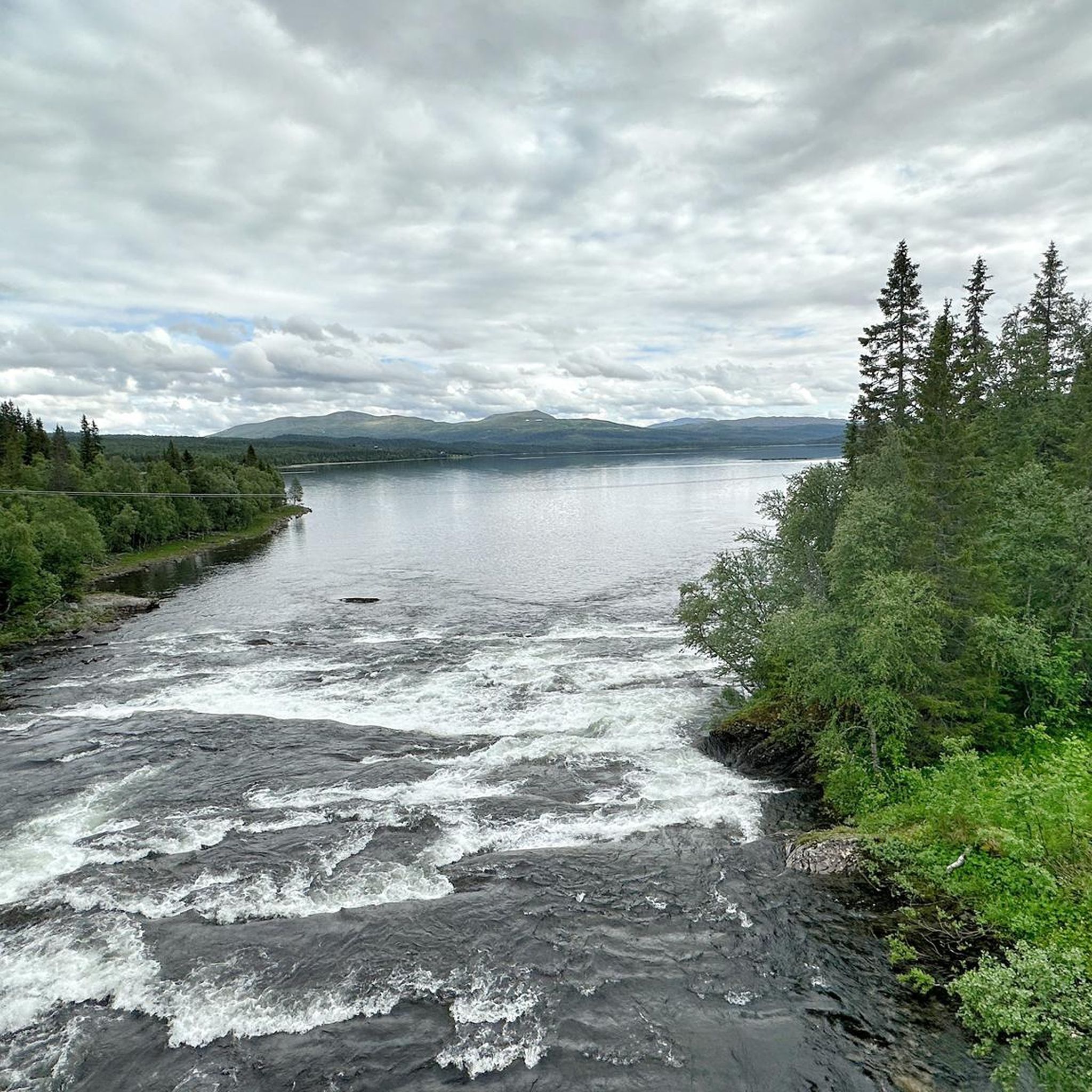
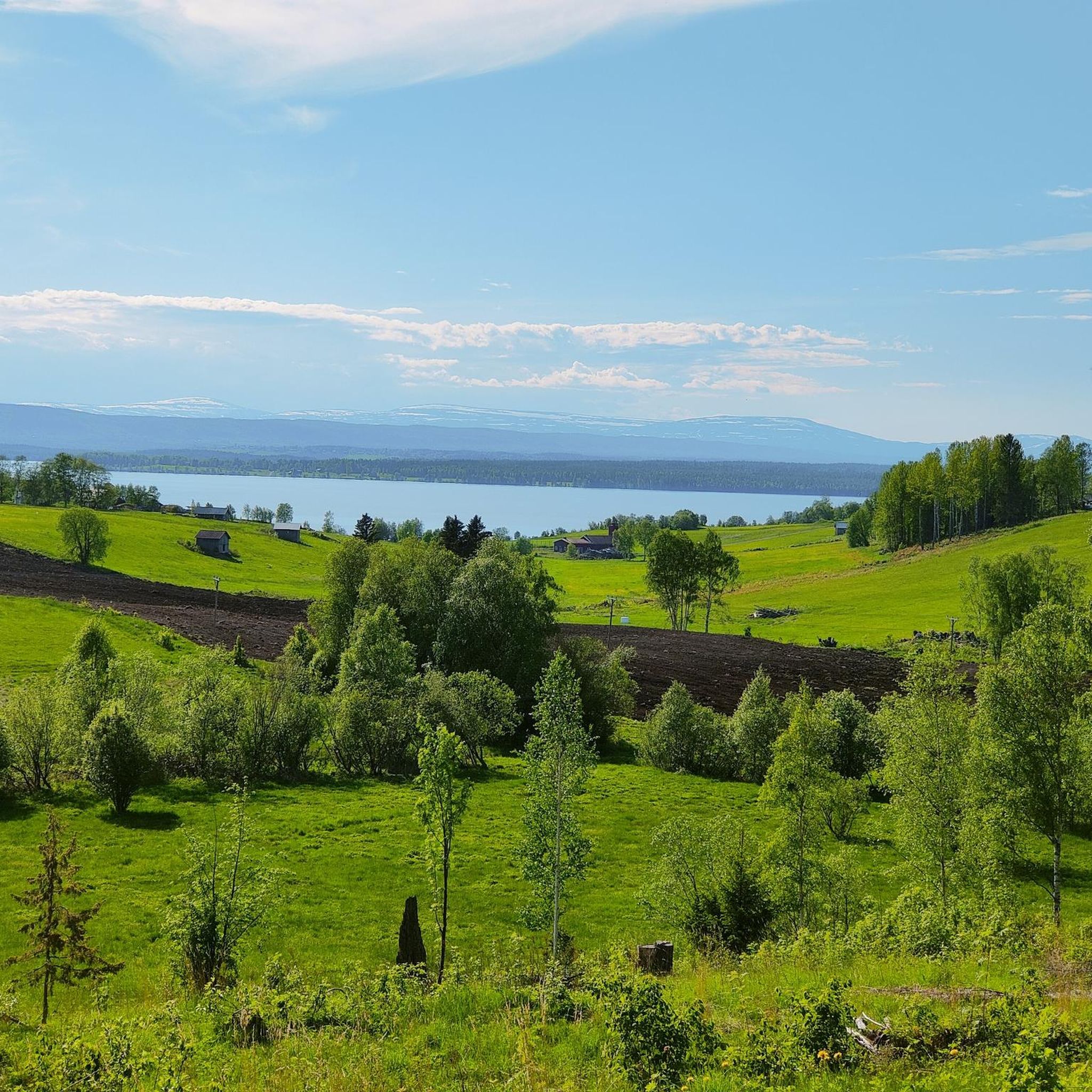
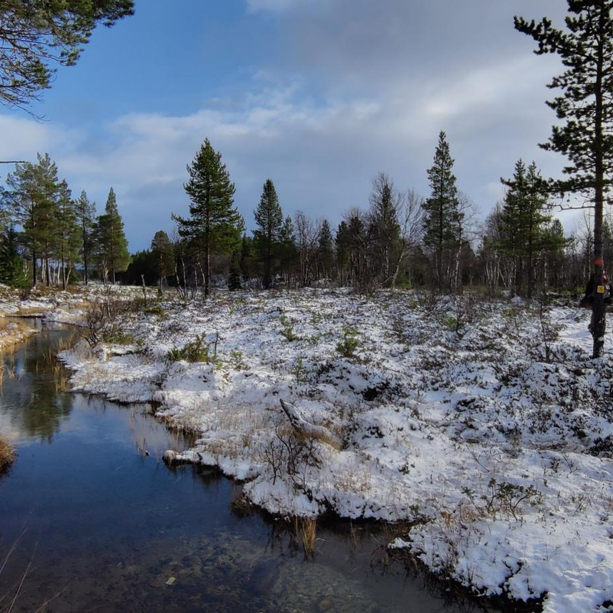
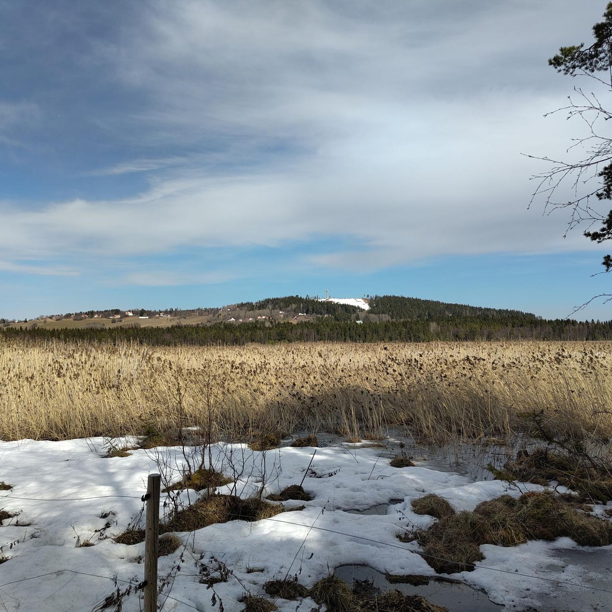
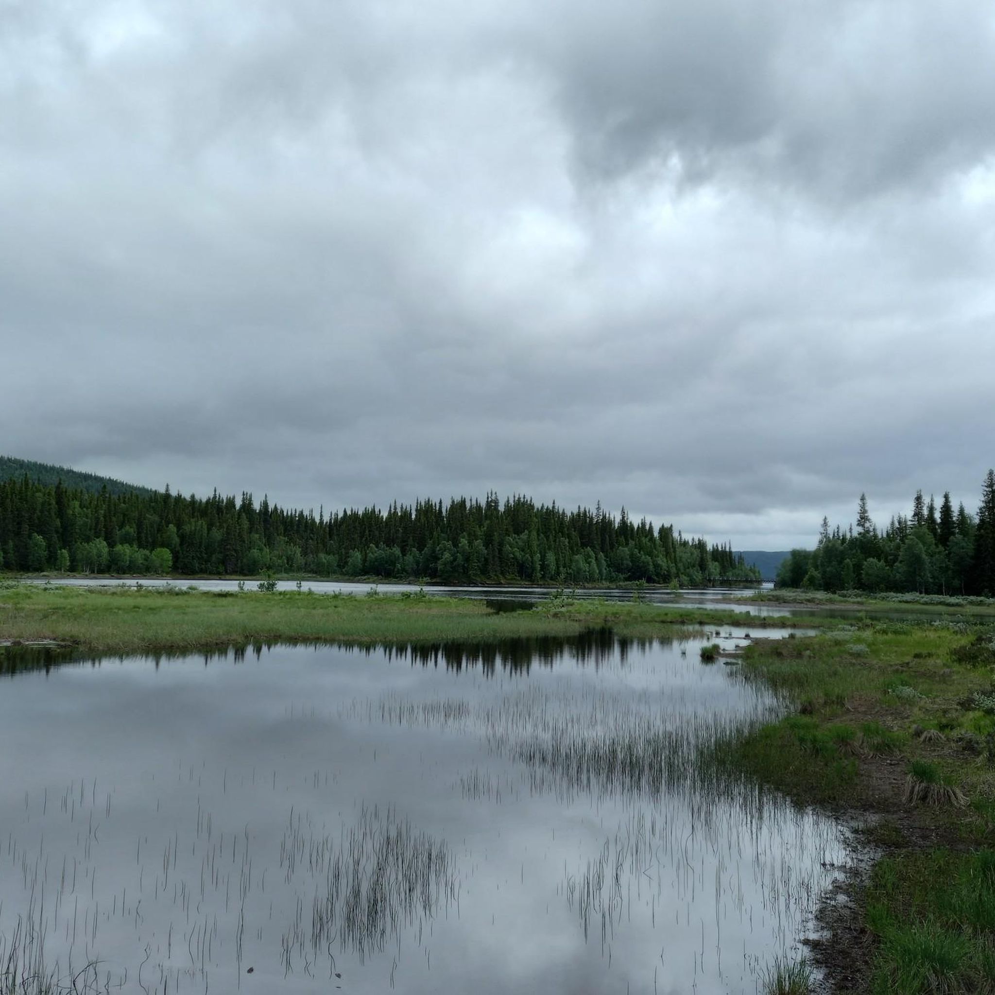
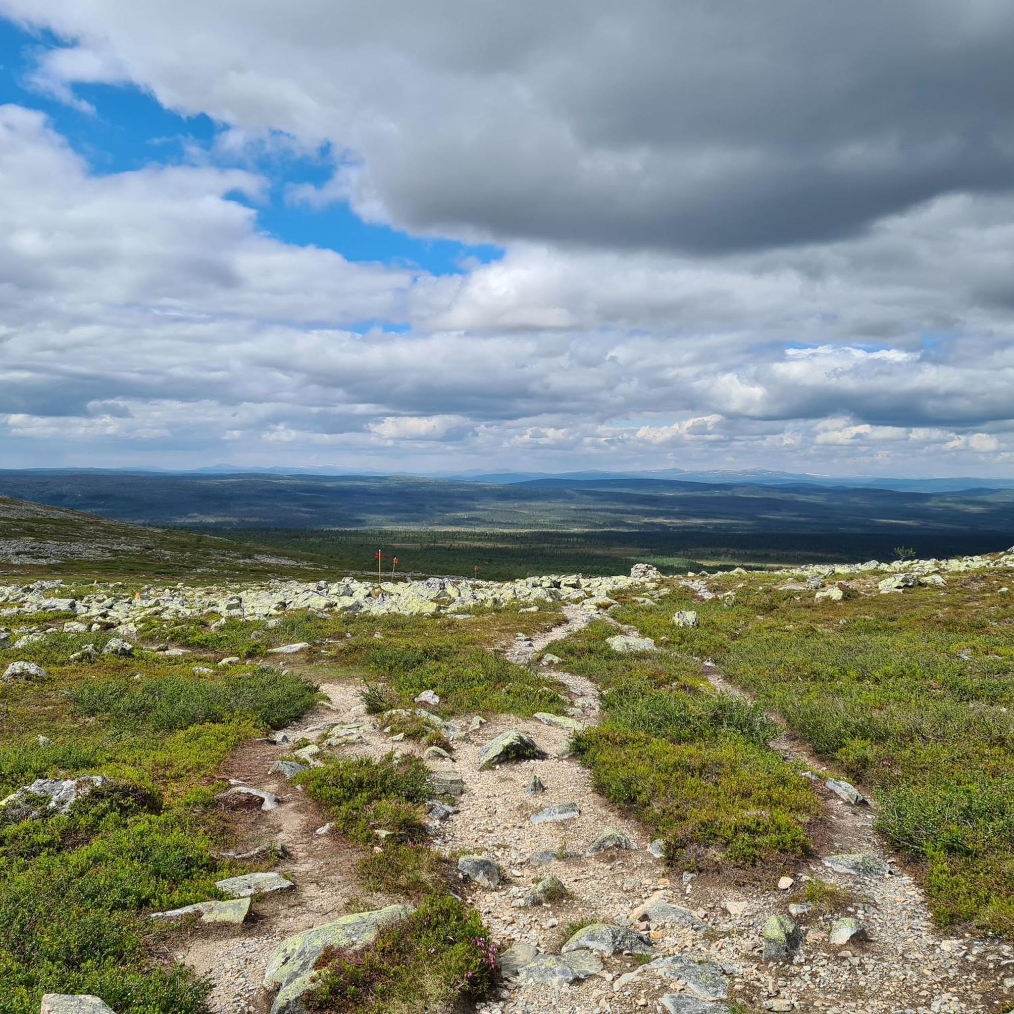
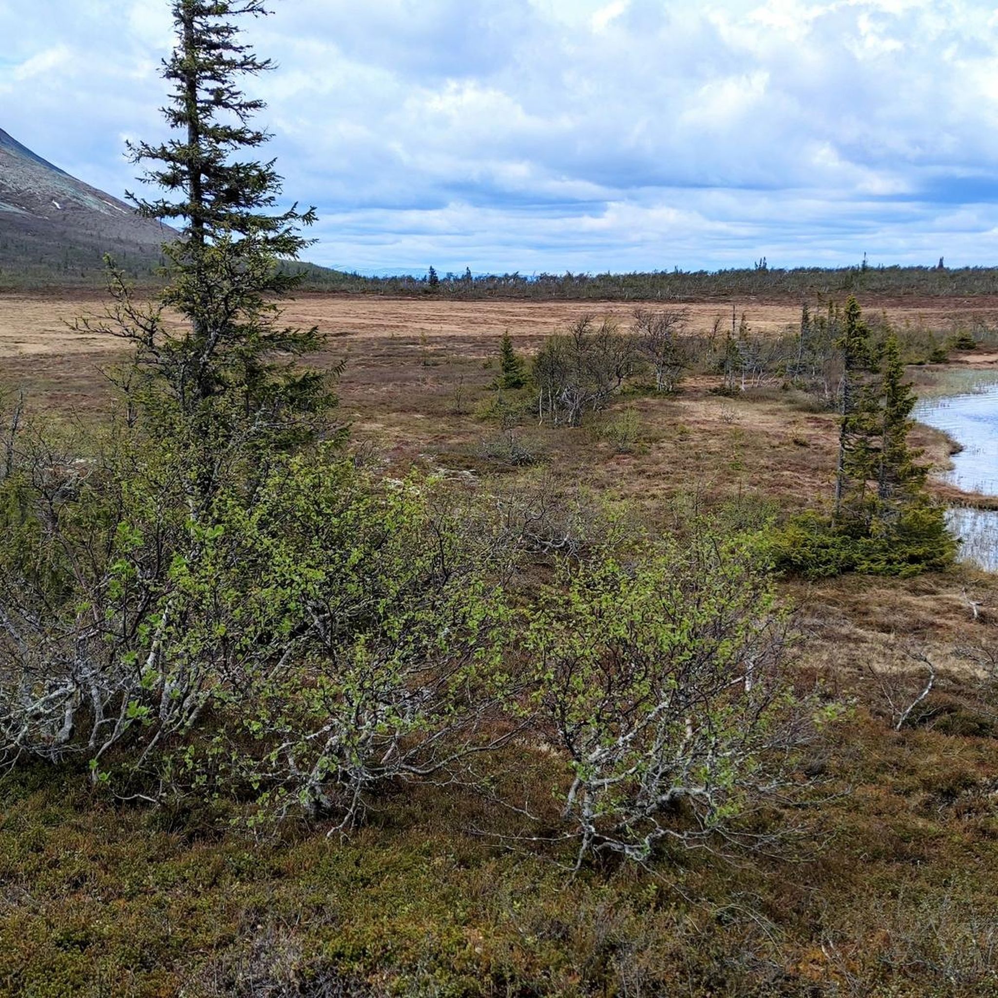
Hiking in Jämtland, a province in central Sweden, offers diverse natural landscapes. The region is characterized by extensive mountain ranges, vast fells, and numerous lakes, particularly in its western parts. Lush coniferous forests cover the eastern and central areas, interspersed with wetlands and rivers like the Indalsälven. Impressive waterfalls, such as Tännforsen and Hällingsåfallet, add to the varied terrain.
Best hiking trails in Jämtland
- The most popular hiking route is Upper Brakkåfallet from Brakkåfallet, a 0.7 miles (1.1 km)…
Last updated: October 8, 2026
4.9
(72)
386
hikers
3.63km
01:14
180m
180m
Easy hike. Great for any fitness level. Easily-accessible paths. Suitable for all skill levels.
4.4
(23)
141
hikers
7.23km
01:50
10m
10m
Easy hike. Great for any fitness level. Easily-accessible paths. Suitable for all skill levels.

4.6
(7)
92
hikers
14.5km
06:32
1,050m
1,050m
Hard hike. Very good fitness required. Mostly accessible paths. Sure-footedness required.
4.6
(12)
104
hikers
6.83km
01:58
180m
170m
Easy hike. Great for any fitness level. Easily-accessible paths. Suitable for all skill levels.
4.6
(14)
84
hikers
10.4km
03:24
450m
450m
Moderate hike. Good fitness required. Easily-accessible paths. Suitable for all skill levels.
4.6
(5)
55
hikers
12.1km
03:16
230m
30m
Moderate hike. Good fitness required. Easily-accessible paths. Suitable for all skill levels.
4.1
(16)
70
hikers
1.14km
00:26
40m
40m
Moderate hike. Great for any fitness level. Mostly accessible paths. Sure-footedness required.
4.8
(6)
32
hikers
7.32km
03:20
620m
630m
Moderate hike. Good fitness required. Mostly accessible paths. Sure-footedness required.
5.0
(2)
42
hikers
18.7km
06:37
500m
200m
Hard hike. Very good fitness required. Mostly accessible paths. Sure-footedness required.
4.7
(13)
39
hikers
3.35km
00:56
70m
70m
Easy hike. Great for any fitness level. Easily-accessible paths. Suitable for all skill levels.
Get access to more routes and recommendations from other explorers.
Already have an account?
Our route recommendations are based on thousands of hikes, rides, and runs completed by other people on komoot.
Start today with a free account
Your next adventure awaits.
Other adventures in Jämtland


Tips from the Community

Hiking the Long Mountain Tour in Funäsdalen is a beautiful experience. You can catch the gondola to the summit of Funäsdalberget if you wish. If you do, this will save you a considerable 350 metres of height gain, or you can hike all the way round and test your lungs. Either way, it is a picture-postcard hike. You have a great summit, a beautiful forest, super-nice views and a good trail to follow.
0
0

The Vemdalen nature trail winds its way through a beautiful woodland setting. Its narrow paths, dotted with stones and roots, not to mention its boardwalks, are the perfect place to truly recharge your batteries.
0
0
The Björnbäcken stream creates a wet environment that makes it difficult to make your way through the forest. Fortunately, there is a boardwalk to help you cross the stream and the marshy areas.
0
0
On the Vemdalen nature trail, this clearing is a real invitation to stop for a while. There is a table, a fire pit and, best of all, a beautiful, unobstructed view over the treetops.
0
0

Open viewpoint overlooking the Kläpphögarna area, with wide views across the plateau landscape.
0
0
This section takes you across a marshy area on wooden planks, making it easier to pass through otherwise wet and soft ground.
0
0
Fettjeåfallet can be reached in about 30–45 minutes from the trailhead, following an easy forest path along the Stor-Fettjeån. The final section climbs gently on stone steps, leading you close to the waterfall. At the base, you’ll find a shelter and a small fire pit, making it a natural place to stop, rest or spend some time by the water. Despite being relatively easy to access (at least in Summer, when snow and ice have melted) the waterfall feels tucked away in the forest, with the surrounding cliffs and flowing water creating a secluded and magical atmosphere.
1
0
The trail follows the Stor-Fettjeån through the forest, with the sound of flowing water accompanying you along the way. Small rapids and minor cascades add variety before reaching the main waterfall.
0
0
Frequently Asked Questions
How many hiking trails are available in Jämtland?
Jämtland offers a wide variety of hiking experiences, with over 420 routes recorded on komoot. These range from easy strolls to challenging mountain ascents, catering to all skill levels.
What is the general difficulty level of hiking trails in Jämtland?
The trails in Jämtland are quite diverse. You'll find approximately 188 easy routes, 189 moderate trails, and 44 more difficult options, ensuring there's something for every hiker, from beginners to experienced trekkers.
What do other hikers say about the trails in Jämtland?
The hiking trails in Jämtland are highly regarded by the komoot community, boasting an average rating of 4.5 stars from over 1,600 reviews. Hikers often praise the region's diverse landscapes, from majestic mountains to serene forests and impressive waterfalls.
What is the best time of year to go hiking in Jämtland?
The best time for hiking in Jämtland is typically during the summer months, from June to September, when the weather is milder and the trails are clear of snow. However, some areas offer beautiful experiences in late spring and early autumn with vibrant foliage.
Are there any hikes in Jämtland that feature waterfalls?
Yes, Jämtland is home to several impressive waterfalls. For a short and scenic walk to a waterfall, consider the Upper Brakkåfallet from Brakkåfallet trail. Other notable waterfalls in the region include Tännforsen, Ristafallet, Fettjeåfallet, and Hällingsåfallet, which often have nearby trails.
Can I explore any caves while hiking in Jämtland?
Jämtland features fascinating geological formations, including caves. The region is home to Korallgrottan (Coral Cave), Sweden's longest cave system. You can find trails leading to its vicinity, such as the View of the River – Path to Korallgrottan loop from Korallgrottan. For more information on caves, explore the Caves in Jämtland guide, which includes highlights like Korallgrottan Cave Entrance and Waterfall.
Are there any trails that offer panoramic views in Jämtland?
Absolutely. Jämtland's mountainous terrain provides many opportunities for breathtaking views. The Borgahällan Summit Trail is known for its significant elevation gain leading to panoramic vistas. Another challenging option with great views is the View from Högfjället – Sogndalstigen Trail loop from Nyvallen.
Are there family-friendly hiking options in Jämtland?
Yes, Jämtland offers many easy trails suitable for families. With nearly 200 easy routes, you can find paths that are less strenuous and shorter in duration. Many trails near lakes or through forests provide gentle terrain for all ages to enjoy.
Are there any circular hiking routes in Jämtland?
Yes, Jämtland has several circular hiking routes that allow you to start and end at the same point. Examples include the Next to the river – First view of the canyon loop from Hällingsåfallet, which offers views of a canyon, and the Ponds and wind shelter – Ryvalens Shelter loop from Hede, which takes you through varied landscapes.
What kind of terrain can I expect on Jämtland's hiking trails?
Jämtland's terrain is incredibly varied. You can expect extensive mountain ranges with high-alpine massifs and fells in the west, giving way to vast coniferous forests, wetlands, and numerous lakes in the central and eastern parts. Trails can range from rocky mountain paths to soft forest floors and lakeside strolls.
Are there any long-distance or multi-day hiking opportunities in Jämtland?
Jämtland is famous for its multi-day treks, most notably the Jämtland Triangle (Jämtlandstriangeln), a classic 47-kilometer route connecting mountain stations. Other popular options include the Sylarna circuit and the Vålådalen Square Trail, offering comfortable accommodations along the way. For a challenging long-distance day hike, consider the Sodtme sameviste-Slipsiken trail.
Is public transport available to reach hiking trails in Jämtland?
While some popular trailheads, especially near larger towns like Åre, might be accessible by bus or train, many of Jämtland's more remote hiking areas require private transportation. It's advisable to check local bus schedules or consider car rental for greater flexibility, especially when planning to visit less accessible natural reserves.
Are there trails that follow rivers or lakeshores in Jämtland?
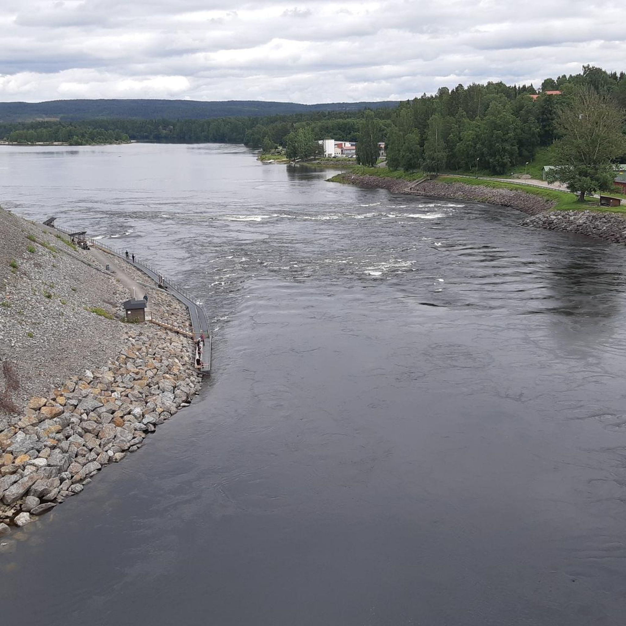
Yes, Jämtland is rich in lakes and rivers, offering many opportunities for waterside hikes. Lake Storsjön is prominent, and the Indalsälven river flows through the province, creating scenic routes. The First view of the canyon – Next to the river loop from Hällingsåfallet is an example of a trail that follows a river, offering beautiful views along the water.
Most popular routes in Jämtland
Most popular attractions in Jämtland

Get inspired with the komoot mobile app


Didn’t find what you were looking for?
Check out more Hikes throughout Jämtland below and find the perfect route in your destination.
Explore more
Browse the best Hikes in other regions.
