The best road cycling routes in San Bruno Mountain State Park
4.7
(162)
10,162
riders
153
rides
Road cycling in San Bruno Mountain State Park features routes that ascend the mountain, offering panoramic views of the San Francisco Bay Area. The terrain includes paved roads winding through coastal scrub and grasslands, with varying gradients. The park's elevation provides challenging climbs and descents, characteristic of Bay Area road cycling. It is characterized by its unique ecosystem and open spaces amidst urban development.
Best road cycling routes in San Bruno Mountain State Park
- The most popular road cycling route…
Last updated: July 9, 2026
18
riders
Easy road ride. Great for any fitness level. Mostly well-paved surfaces and easy to ride.
4.9
(10)
647
riders
78.5km
03:40
760m
760m
Moderate road ride. Good fitness required. Mostly well-paved surfaces and easy to ride.

Sign up for free
5.0
(5)
35
riders
48.3km
02:50
890m
890m
Moderate road ride. Good fitness required. Mostly well-paved surfaces and easy to ride.
8
riders
12.8km
00:50
340m
340m
Moderate road ride. Good fitness required. Mostly well-paved surfaces and easy to ride.
4.8
(18)
552
riders
27.9km
01:21
210m
210m
Moderate road ride. Great for any fitness level. Some segments of this route may be unpaved and difficult to ride.
Get access to more routes and recommendations from other explorers.
Sign up for free
Already have an account?
Our route recommendations are based on thousands of hikes, rides, and runs completed by other people on komoot.
Start today with a free account
Your next adventure awaits.
Login or Signup
Tips from the Community

The road along the lagoon has wide cycle paths on both sides and low traffic into Oyster Park. It is however exposed to high winds so take care when riding. Smooth road right by the clear water in the shadow of Mt. Bruno make for a great bypass between SF and South SF that avoids the high traffic Bayshore Blvd and the hill.
0
0

In the 1870s and 1880s, Golden Gate Park was planted on sand dunes and required substantial irrigation. In 1902, the Park Commission authorized the construction of two windmills to pump groundwater for park irrigation rather than purchasing water at exorbitant costs from the Spring Valley Water Company. The Murphy Mill was completed in 1908,[4] and pumped 40,000 US gallons (150,000 L) per hour to the park.
0
0

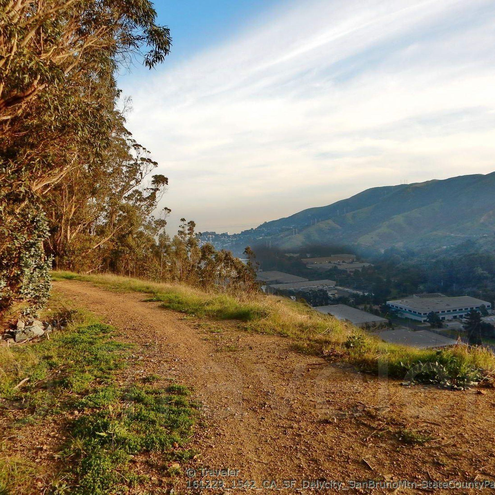
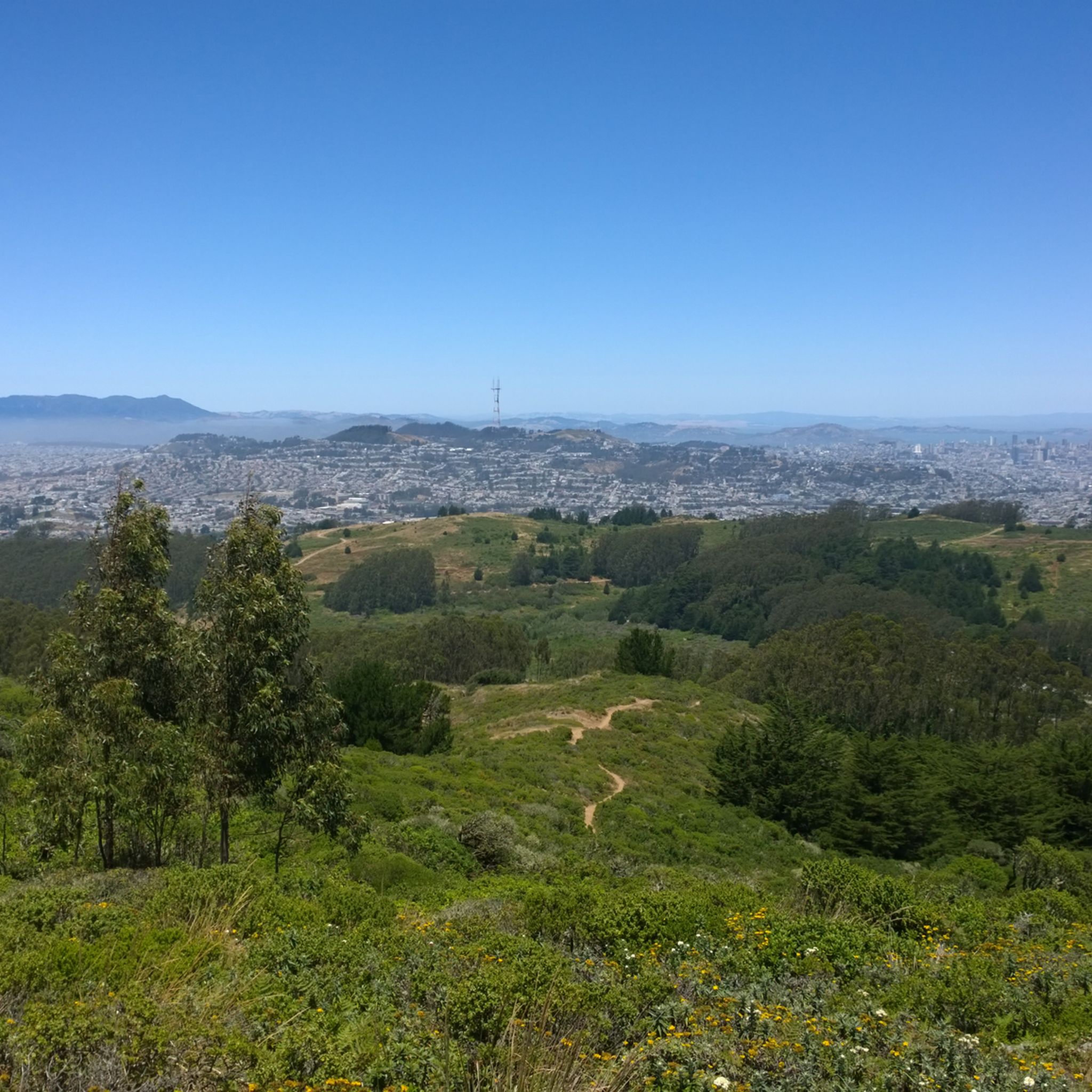
Spectacular summit overlook of the city and across the San Francisco Bay at the end of the paved Radio Road
0
0

The bridge is more delicate than it appears at first glance.
0
0
Tropical greenhouses surrounded by hilly trails and lawns
1
0

This paved lot has a few parking spots that are designated for trail users. There is no water or restrooms available.
0
0

Devils slide itself is nice and just to the south is the beautiful Gray Whales Cove beach. There is plenty of parking at both places. Two notes for cyclist: 1. cycling along Hwy 1, coming from Pacifica, requires climbing on a relatively narrow but highly frequented road. It is not a long climb until the turnoff to Devils slide, but it might be stressful for cyclists who are not used to riding in heavy traffic. Hwy 1 south of Devils slide has enough space for everyone. 2. If you cycle on Hwy1, then check the wind forecast beforehand. Dominant wind direction is NW, which means cycling southbound maximizes tailwind and minimizes breathing in all the air pollution from stinky cars.
0
0

A spectacular, safe cycle route across the bridge. Completely isolated from the cars.
1
0
Frequently Asked Questions
What is the general difficulty level of road cycling routes in San Bruno Mountain State Park?
San Bruno Mountain State Park offers a range of road cycling routes. The majority, about 93 out of 170 routes, are rated as moderate, featuring significant climbs and descents characteristic of the Bay Area. There are also easier options, with around 60 routes suitable for less experienced riders, and about 17 routes considered difficult for those seeking a greater challenge.
Are there challenging road bike routes in San Bruno Mountain State Park?
Yes, for experienced road cyclists seeking a challenge, San Bruno Mountain State Park has approximately 17 routes rated as difficult. These routes often involve sustained climbs and more demanding terrain. An example of a route with significant elevation gain is the San Francisco Bay Trail: Paradise Loop, which includes over 760 meters of ascent over its 78.5 km distance.
Are there beginner-friendly road bike trails in San Bruno Mountain State Park?
While many routes involve climbs, there are around 60 routes in San Bruno Mountain State Park categorized as easy, making them suitable for beginners or those looking for a more relaxed ride. These routes typically have less elevation gain and shorter distances. For a moderate but accessible climb, consider the San Bruno Mountain Summit Loop, which is 12.8 km long with a manageable ascent.
How long do road cycling routes typically take in San Bruno Mountain State Park?
The duration of road cycling routes in San Bruno Mountain State Park varies significantly based on distance and elevation. Shorter routes like the San Bruno Mountain Summit Loop (12.8 km) can be completed in about 50 minutes. Longer routes, such as the San Francisco Bay Trail: Paradise Loop (78.5 km), may take around 3 hours and 40 minutes.
Where can I find parking when road cycling in San Bruno Mountain State Park?
Parking is available at various access points around San Bruno Mountain State Park. The main entrance on Guadalupe Canyon Parkway offers parking, as do some of the residential areas bordering the park. Always check local signage for parking restrictions and fees.
When is the best time of year to go road cycling in San Bruno Mountain State Park?
The San Francisco Bay Area generally offers good cycling conditions year-round. Spring and fall are often ideal, with mild temperatures and clear skies. Summer can bring coastal fog, especially in the mornings, which can keep temperatures cool. Winter is typically mild but can have rainy periods, so checking the weather forecast is always recommended.
What scenic viewpoints can I expect along the road cycling routes?
Road cycling routes in San Bruno Mountain State Park are renowned for their panoramic views. As you ascend the mountain, you'll encounter stunning vistas of the San Francisco Bay, the Pacific Ocean, and the surrounding urban landscape. A notable viewpoint is the View of San Francisco from Radio Road, offering expansive cityscapes.
What kind of wildlife might I encounter while road cycling in San Bruno Mountain State Park?
San Bruno Mountain State Park is a unique ecological island, home to several endangered species. While road cycling, you might spot various birds, including raptors, and smaller mammals. The park is particularly known for its rare butterflies, such as the Mission blue and San Bruno elfin, though these are more likely to be seen in specific habitats off the paved roads.
Are there any interesting landmarks or attractions in San Bruno Mountain State Park?
Yes, beyond the cycling itself, the park offers several points of interest. The San Bruno Mountain summit provides incredible 360-degree views. The Guadelupe Canyon Parkway itself is a scenic route, and the entire San Bruno Mountain State & County Park is a significant natural monument.
What do other road cyclists enjoy the most about road cycling in San Bruno Mountain State Park?
The area is highly rated by the komoot community, with an average score of 4.7 stars from over 170 reviews. Reviewers often praise the challenging yet rewarding climbs, the breathtaking panoramic views of the Bay Area, and the unique experience of cycling through open spaces so close to urban centers. The varied terrain and well-maintained paved roads are also frequently highlighted.
Are there loop road bike routes available in San Bruno Mountain State Park?
Yes, many of the road cycling routes in San Bruno Mountain State Park are designed as loops, allowing you to start and end at the same point without retracing your path. Examples include the popular San Bruno Mountain Summit Loop and the Brisbane Lagoon – Guadelupe Canyon Parkway loop from South San Francisco, which offers a combination of bay-side riding and parkway ascents.
What are the typical weather conditions for road cycling in San Bruno Mountain State Park?
Weather in San Bruno Mountain State Park can be variable, influenced by its proximity to the Pacific Ocean and San Francisco Bay. Expect mild temperatures for most of the year. Mornings can often be foggy, especially in summer, which usually burns off by midday. Winds can be a factor, particularly on exposed sections of the mountain. Always check the local forecast before heading out.
Most popular routes in San Bruno Mountain State Park
Most popular attractions in San Bruno Mountain State Park

Get inspired with the komoot mobile app


Explore more
Browse the best Road cycling routes in other regions.
