The best cycling routes in Portola Redwoods State Park
5.0
(2)
180
riders
10
rides
Touring cycling in Portola Redwoods State Park offers routes through a deeply shaded redwood forest within the Santa Cruz Mountains. The terrain features deep canyons, meandering creeks, and significant elevation changes, providing a challenging environment for cyclists. While the park itself has limited bike access, the surrounding area is known for demanding routes with varying surfaces, including paved and unpaved segments. These routes often present considerable climbs and descents, suitable for cyclists seeking a rigorous workout amidst natural beauty.
Best touring cycling routes in Portola Redwoods State Park
- The most popular touring cycling route is Portola Road – Old La Honda Road loop from La Honda, a 32.9 miles (53.0 km) trail that takes 3 hours 55 minutes to complete. This route features significant climbs and descents through the Santa Cruz Mountains.
- Another top favourite among local touring cyclists is Saratoga Gap Trailhead loop from Saratoga, a difficult 10.3 miles (16.6 km) path. This route offers a rigorous workout with notable elevation gain.
- Local touring cyclists also love the Borel Hill – Mindego Hill Windmill loop from Skyline Ridge Open Space Preserve, a 6.9 miles (11.2 km) trail leading through varied mountain terrain, often completed in about 1 hour 11 minutes.
- Touring cycling in Portola Redwoods State Park is defined by towering redwood forests, deep canyons, and challenging mountain roads. The network offers options for different ability levels, from moderate to difficult.
- The routes in Portola Redwoods State Park are highly rated by the komoot community with an average score of 5.0 stars from 1 review. More than 190 touring cyclists have used komoot to explore Portola Redwoods State Park's varied terrain.
Last updated: October 12, 2026
5.0
(2)
91
riders
63.8km
04:38
1,440m
1,440m
Hard bike ride. Very good fitness required. Mostly paved surfaces. Suitable for all skill levels.
29
riders
Hard bike ride. Good fitness required. You may need to push your bike for some segments of this route.

8
riders
Hard bike ride. Very good fitness required. Mostly paved surfaces. Suitable for all skill levels.
5
riders
Moderate bike ride. Good fitness required. Mostly paved surfaces. Suitable for all skill levels.
4
riders
17.9km
01:15
320m
320m
Moderate bike ride. Good fitness required. Mostly paved surfaces. Suitable for all skill levels.
Get access to more routes and recommendations from other explorers.
Already have an account?
Our route recommendations are based on thousands of hikes, rides, and runs completed by other people on komoot.
Start today with a free account
Your next adventure awaits.
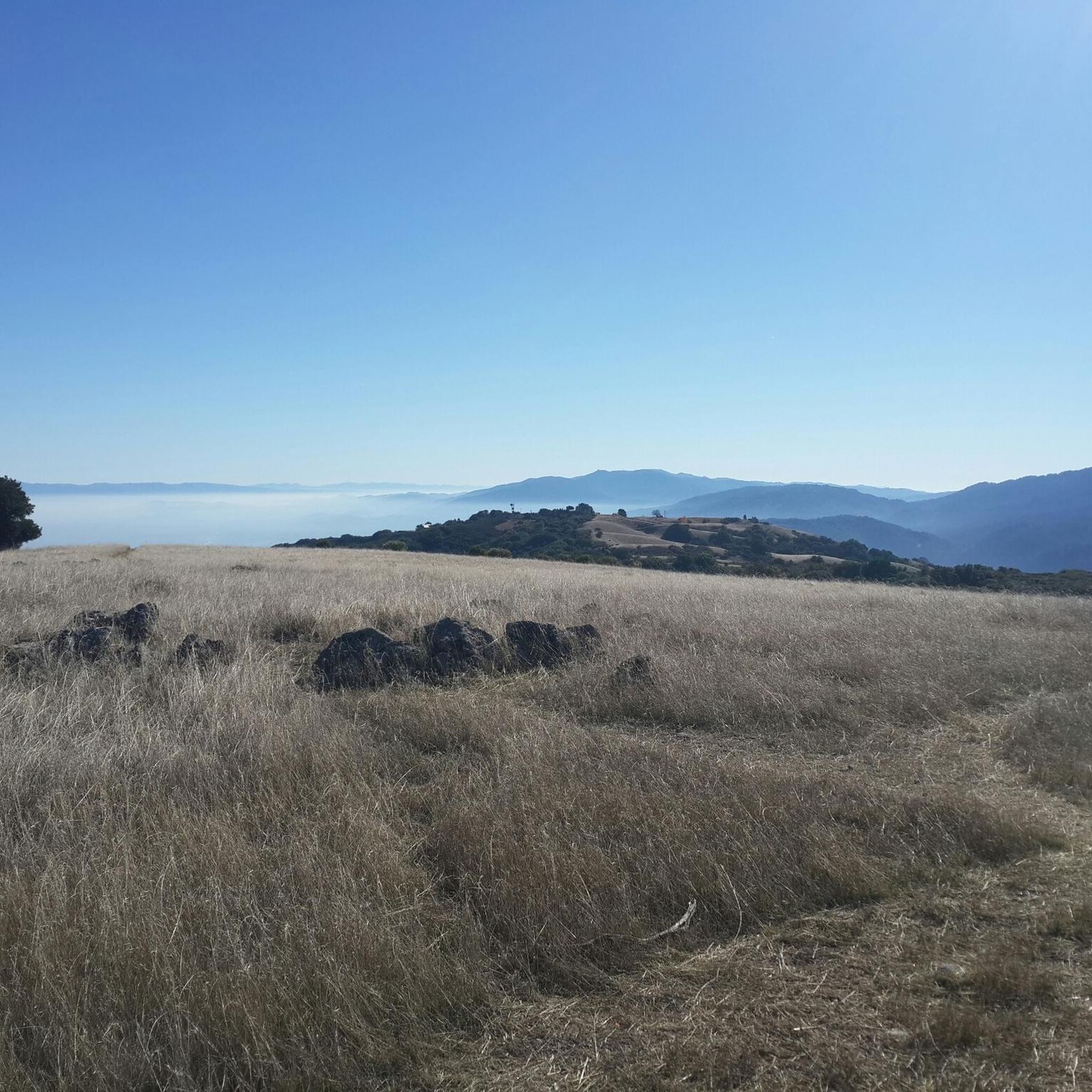
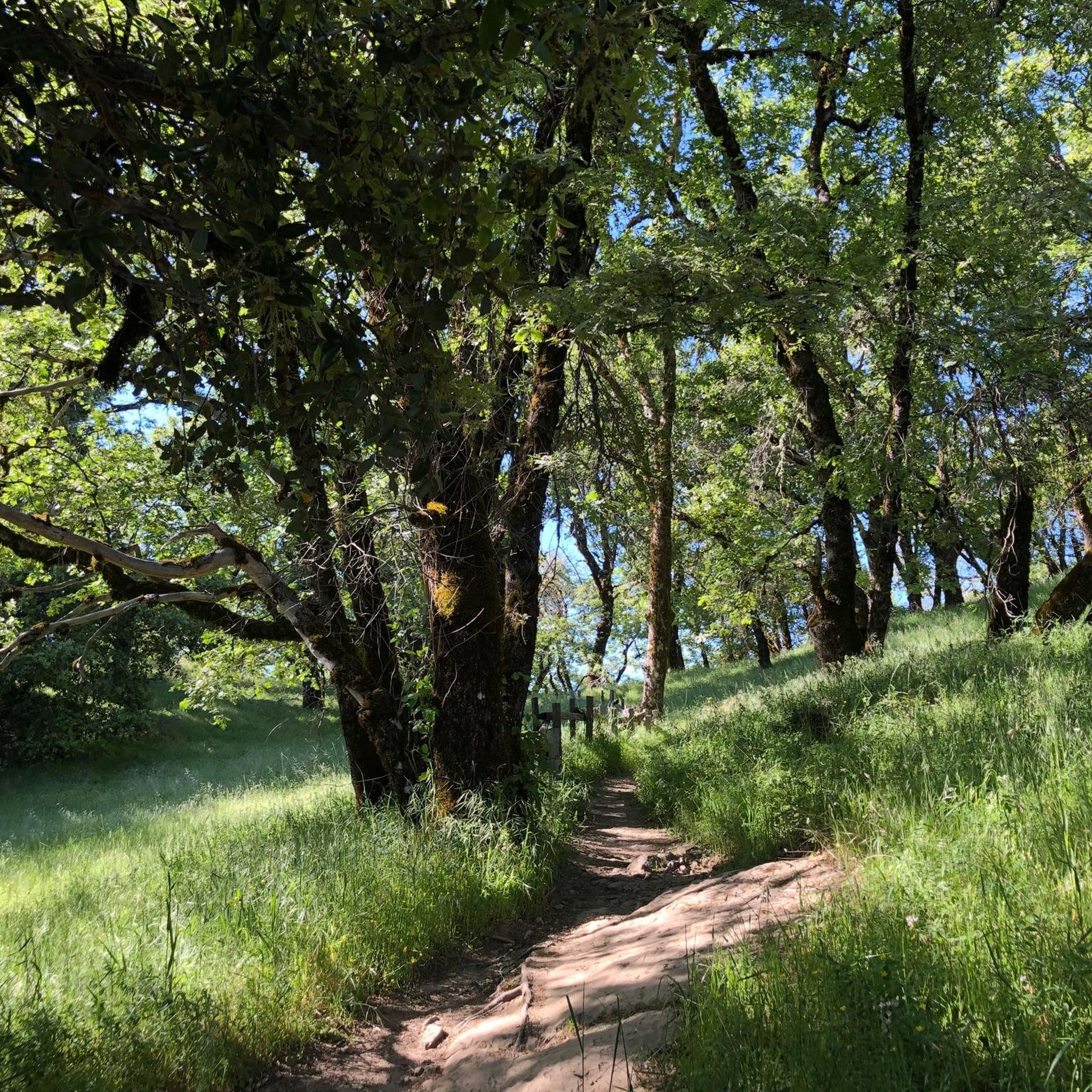
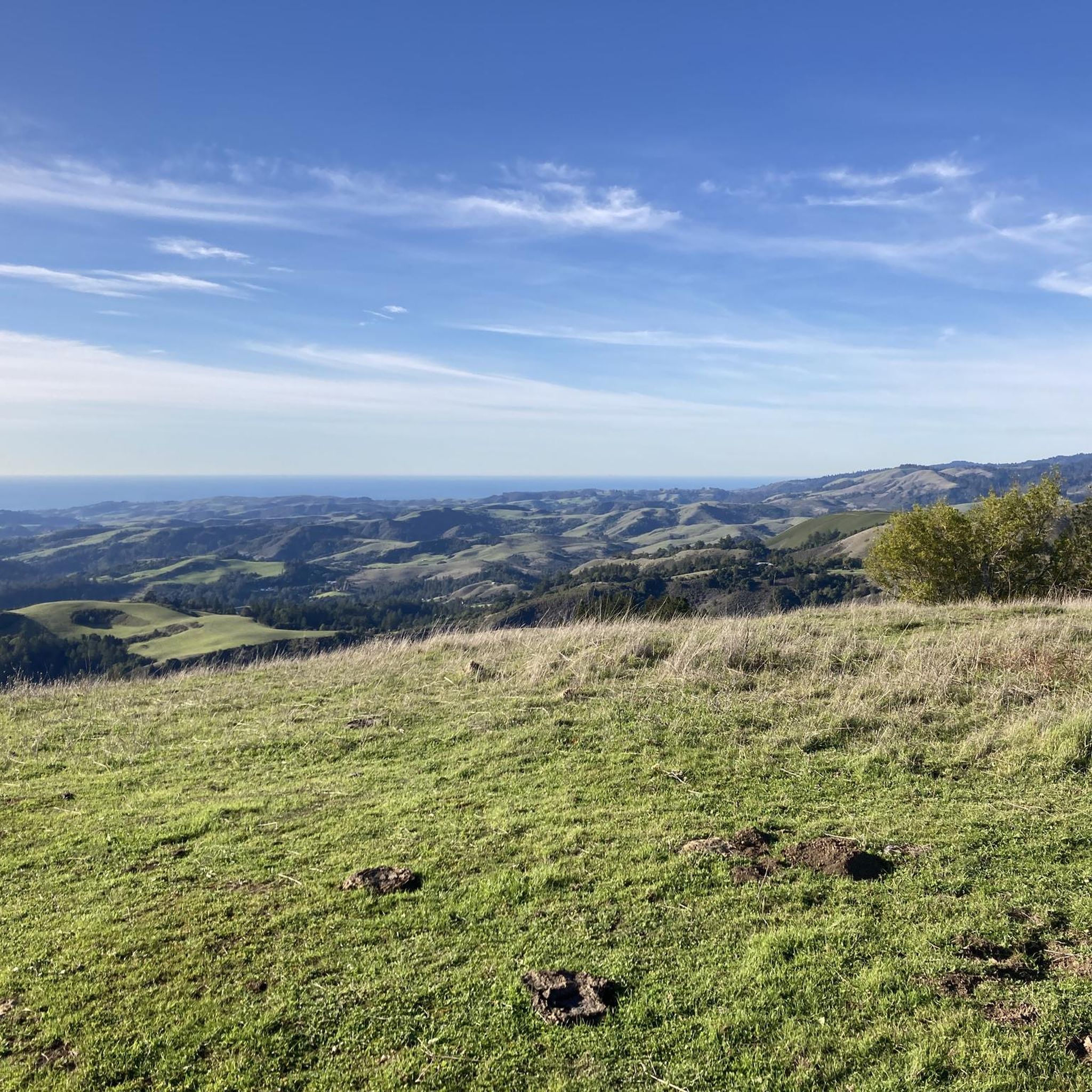
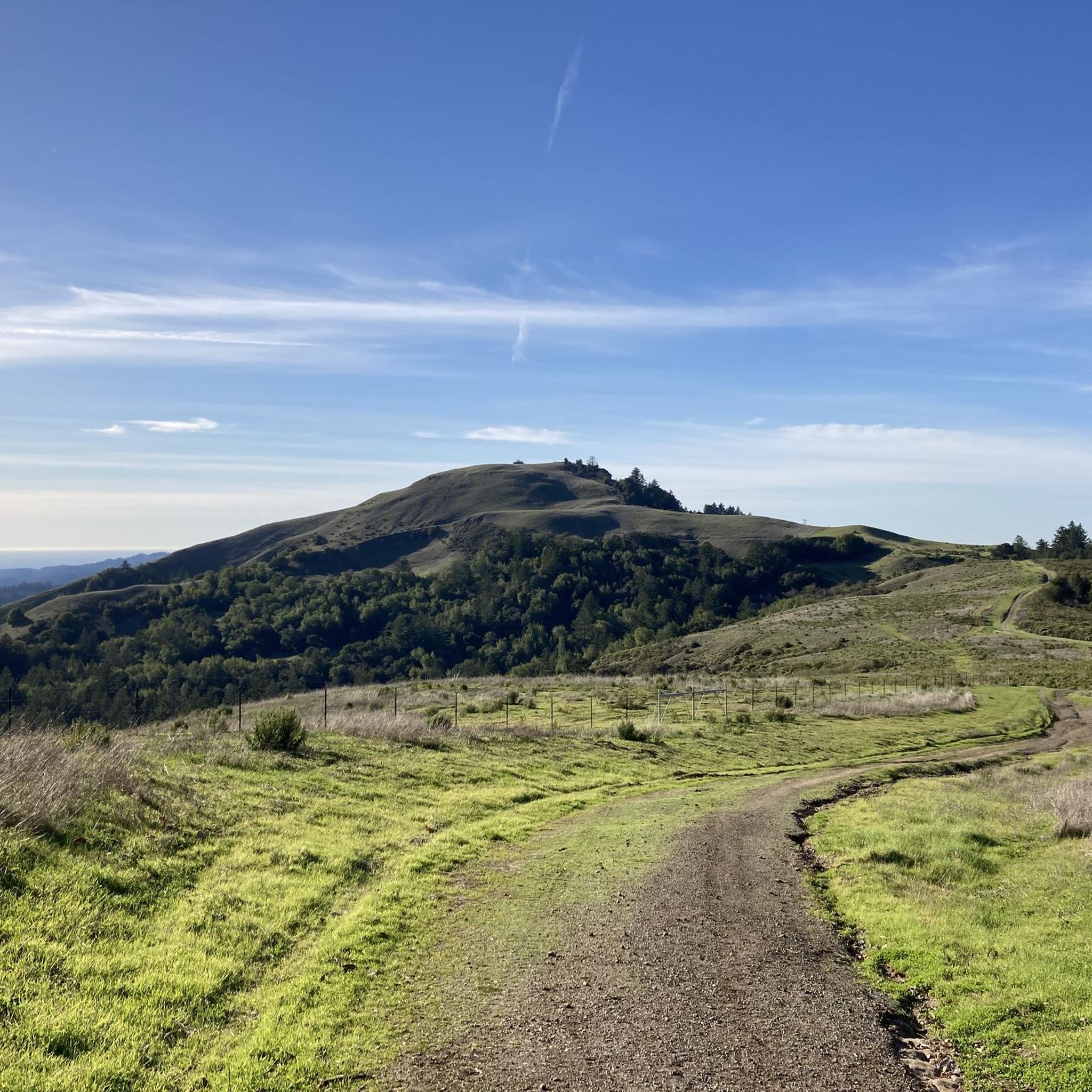

Tips from the Community


The Northern part of Alpine Road is a paved and curvy descent through wooded areas and runs parallel to Coal Mine Ridge Preserve, eventually connecting with the trailhead there.
0
0

This mostly paved bike trail alongside Alpine Road is great for bike commuting — just don't run over any slower trail users! The trail runs all the way from Portola Valley to Stanford, offering some nice shade along the way. The brief moments of unpaved trail are near the Portola Valley end.
0
0

This section of the Skyline Trail offers shade and occasional viewpoints overlooking the forest and valley. It's a beautiful, well-marked trail that's also shared with mountain bikers.
0
0

Turtle Rock is the highest and most prominent mountain in the area. From this viewpoint, you can enjoy a panoramic view of the surrounding mountains, especially stunning at sunset. Be cautious, as the trail is popular and often busy with hikers.
1
0

Black Mountain, situated on Monte Bello Ridge, is a popular destination for hikers and mountain bikers. With an elevation of 2,812 feet, it's easy to understand why. From the summit, the views of the Santa Cruz Mountains and Silicon Valley are breathtaking.
0
0
This fantastic tavern, founded in 1852, is the second oldest in the state. It features a large, beer garden-style outdoor area with plenty of shade. An extensive beer and food menu makes it a perfect stop to enjoy a brew and some great food after a ride.
0
0
Russian Ridge is an incredible 3,137-acre preserve that boasts a rich diversity of plants and wildlife, steep forested canyons, and grasslands, with abundant wildflowers in the spring. The open ridge tops provide breathtaking panoramic views of the Santa Cruz Mountains, the Bay Area, and the Pacific Ocean, making it one of the most scenic preserves in the area to enjoy a picturesque ride.
0
0
Frequently Asked Questions
How many touring cycling routes can I find in Portola Redwoods State Park?
There are over a dozen touring cycling routes available in and around Portola Redwoods State Park on komoot, offering a range of experiences from moderate to difficult.
Are there any easy touring cycling routes suitable for beginners or families?
While the park's immediate surroundings are known for challenging rides, the Borel Hill – Mindego Hill Windmill loop from Skyline Ridge Open Space Preserve is rated as moderate and offers a less strenuous option. Within the park itself, the Old Haul Service Road provides a relatively beginner-friendly 10-mile round trip through redwood forests, though it's not listed as a specific komoot tour in this guide.
What kind of terrain and elevation can I expect on touring cycling routes in this area?
The region is characterized by significant climbs and descents, often with considerable elevation gain, making routes suitable for cyclists seeking a rigorous workout. You'll encounter varying surfaces, including paved roads and some unpaved segments, winding through deep redwood canyons and mountain terrain.
What natural features or landmarks can I see while cycling in Portola Redwoods State Park?
The park is renowned for its towering coast redwoods, particularly along trails like the Sequoia Nature Trail and the Iverson Trail. You can also find serene spots along creeks like Fall and Pescadero, and the enchanting Tip Toe Falls on Fall Creek. The Eugene and Bolton Memorial Grove is another notable redwood area.
Are there any circular touring cycling routes available?
Yes, many routes in the area are designed as loops. For example, the Saratoga Gap Trailhead loop from Saratoga and the Horseshoe Lake – Saratoga Gap Trailhead loop from Saratoga are popular circular options for touring cyclists.
What do other touring cyclists enjoy most about cycling in Portola Redwoods State Park?
The area is highly rated by the komoot community, with an average score of 5.0 stars. Reviewers often praise the challenging terrain, the immersive experience of cycling through ancient redwood forests, and the tranquil, secluded atmosphere that offers a peaceful escape.
What are the rules for bringing dogs on touring cycling routes in the park?
Within Portola Redwoods State Park, dogs are generally permitted only in developed areas like campgrounds, picnic sites, and on paved roads. They are typically not allowed on unpaved trails or fire roads. Always keep dogs on a leash and clean up after them. Specific rules may vary, so it's best to check the official park website for the most current regulations.
Is public transport available to access the touring cycling routes?
Access to Portola Redwoods State Park and its surrounding cycling routes primarily relies on personal vehicles. The park's remote location means public transport options are very limited or non-existent, making driving the most practical way to reach the starting points of these tours.
Are there any cafes or accommodation options near the cycling routes?
Due to the park's secluded nature and lack of cell reception, amenities like cafes and extensive accommodation are not directly within the park. You would typically find these in nearby towns outside the immediate park boundaries, such as La Honda or Saratoga, which serve as common starting points for many routes.
What is the best time of year to go touring cycling in Portola Redwoods State Park?
The deep redwood canyon creates a cool, moist climate year-round. While cycling is possible in many seasons, spring and fall generally offer the most pleasant weather. Summers can be warm, especially on exposed sections, and winters can bring rain, making some unpaved segments muddy. Always check local weather conditions before heading out.
Are there any permits required for cycling in Portola Redwoods State Park?
Generally, no specific cycling permits are required for day use on allowed roads within Portola Redwoods State Park. However, standard park entrance fees may apply. For any specific trail or area, it's always advisable to check the official California State Parks website for the latest information on fees or special regulations.
Where can I park my car when starting a touring cycling route?
Parking is typically available at designated trailheads or park entrances, such as the Portola Redwoods State Park headquarters or other access points like Skyline Ridge Open Space Preserve. Always ensure you park in official areas and adhere to any posted parking regulations or fees.
Most popular routes in Portola Redwoods State Park
Most popular attractions in Portola Redwoods State Park

Get inspired with the komoot mobile app


Explore more
Browse the best Cycling routes in other regions.
