Sierra Azul Open Space Preserve (Closed Areas)
Sierra Azul Open Space Preserve (Closed Areas)
The best cycling routes in Sierra Azul Open Space Preserve (Closed Areas)
4.7
(90)
2,360
riders
137
rides
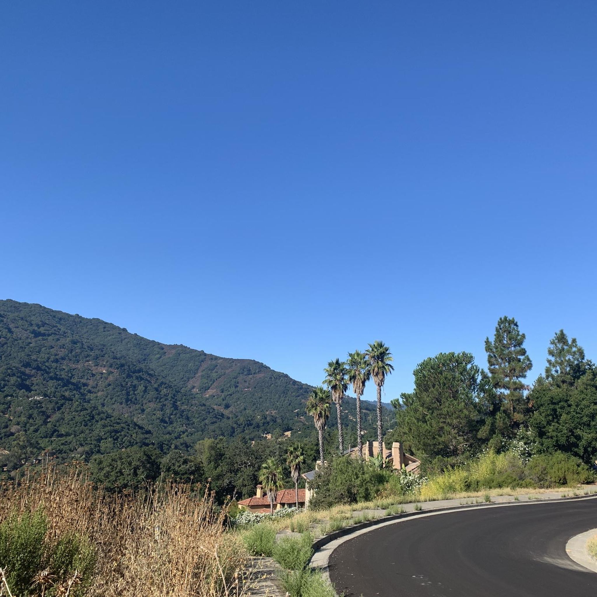
Touring cycling in Sierra Azul Open Space Preserve (Closed Areas) offers a varied and challenging terrain with significant elevation changes. The preserve features diverse habitats, including serpentine grasslands, chaparral, oak woodlands, and riparian corridors. Prominent peaks like Mount Umunhum and Mount El Sombroso provide challenging ascents and rewarding panoramic views. All touring cycling activities should be confined to officially accessible trails and roads within the preserve.
Best touring cycling routes in Sierra Azul Open Space Preserve (Closed Areas)
- The most…
Last updated: July 9, 2026
5.0
(2)
25
riders
83.6km
05:40
1,410m
1,410m
Hard bike ride. Very good fitness required. Mostly paved surfaces. Suitable for all skill levels.
21
riders
71.0km
04:44
1,110m
1,110m
Hard bike ride. Very good fitness required. Mostly paved surfaces. Suitable for all skill levels.

Sign up for free
12
riders
59.3km
04:19
1,230m
1,230m
Hard bike ride. Very good fitness required. Mostly paved surfaces. Suitable for all skill levels.
8
riders
Hard bike ride. Very good fitness required. Mostly paved surfaces. Suitable for all skill levels.
7
riders
Hard bike ride. Very good fitness required. Mostly paved surfaces. Suitable for all skill levels.
Get access to more routes and recommendations from other explorers.
Sign up for free
Already have an account?
Our route recommendations are based on thousands of hikes, rides, and runs completed by other people on komoot.
Start today with a free account
Your next adventure awaits.
Login or Signup
Popular around Sierra Azul Open Space Preserve (Closed Areas)
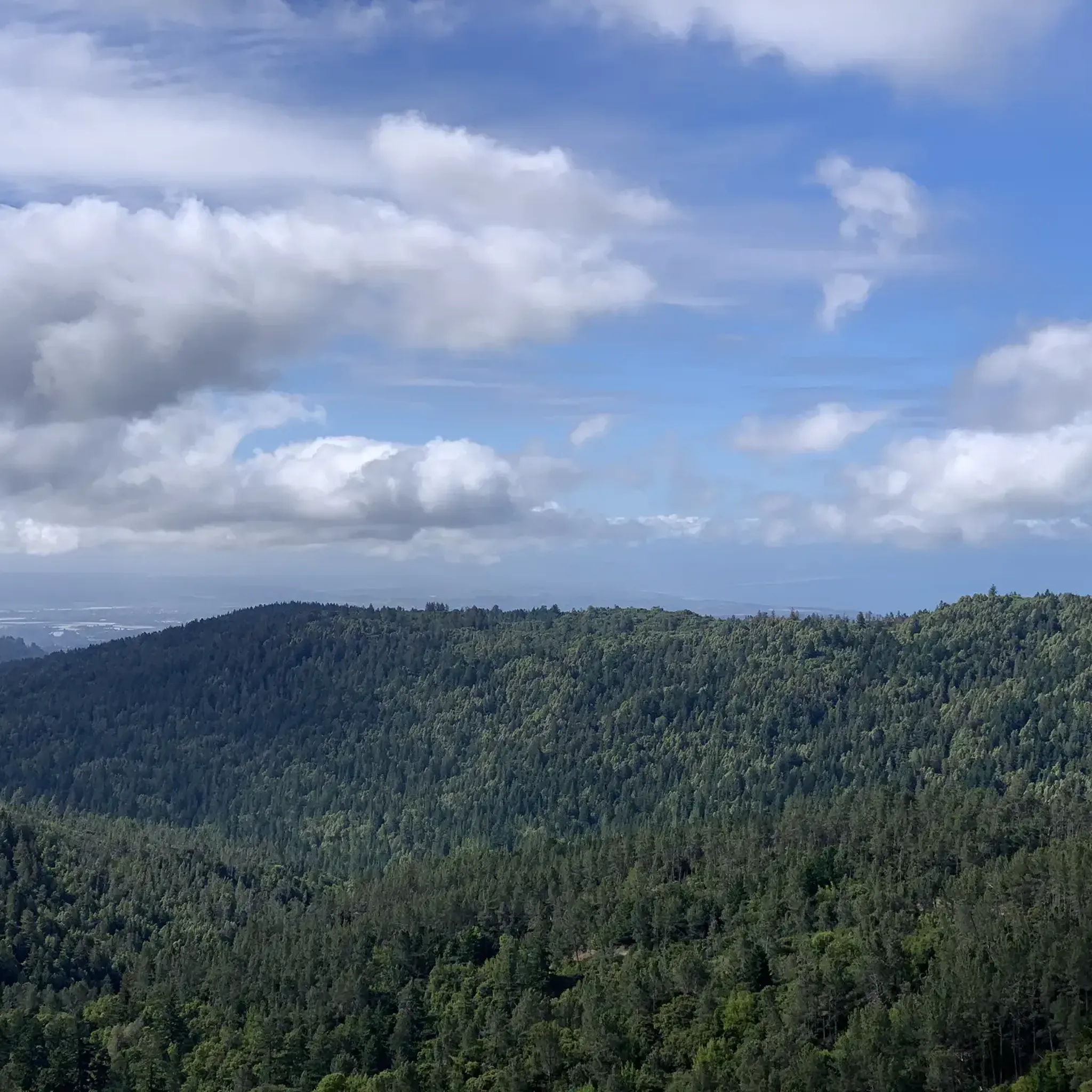
Hiking in Sierra Azul Open Space Preserve (Closed Areas)
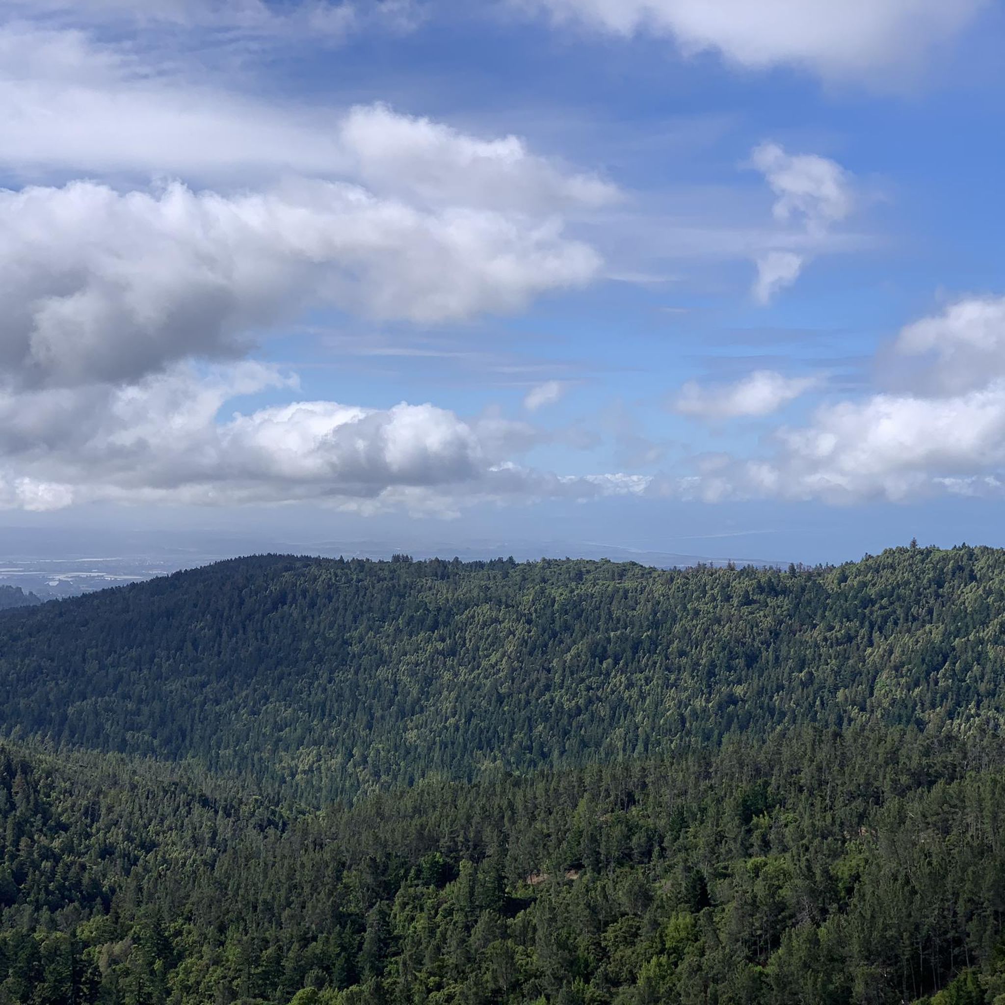
Running Trails in Sierra Azul Open Space Preserve (Closed Areas)
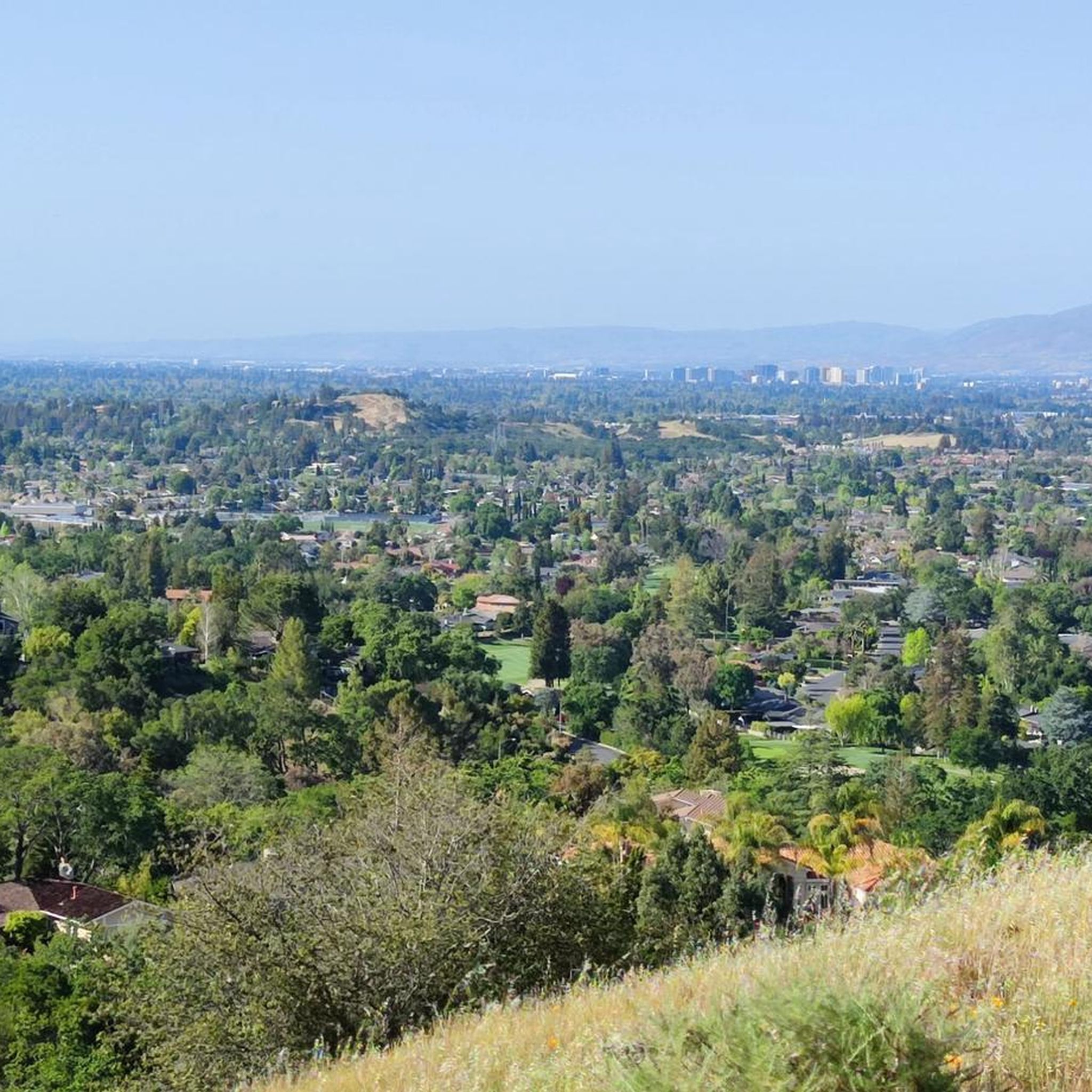
MTB Trails in Sierra Azul Open Space Preserve (Closed Areas)
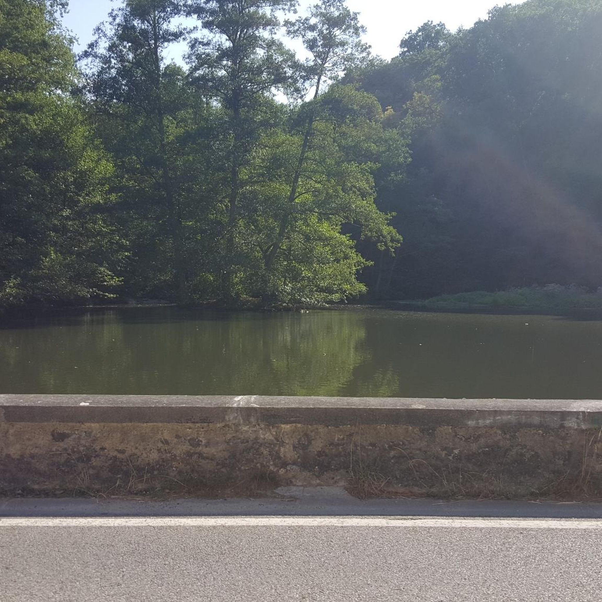
Gravel biking in Sierra Azul Open Space Preserve (Closed Areas)
Road Cycling Routes in Sierra Azul Open Space Preserve (Closed Areas)
Tips from the Community

An excellent spot to take a break and enjoy the full breath of Lexington Reservoir. There is a Plaque dedicated to deputy Douglas B. Miller, who was fatally wounded while performing his duties.
0
0


From the top of the dam you get splendid views out across Lexington Reservoir. To the north you overlook the winding end of the Los Gatos Creek Trail, which connects to the Jones Trail across from the restroom just up the road. The dam itself was constructed in 1952 and stands at nearly 200 feet tall.
0
0

Felton Covered Bridge Park is a small city park and home to the Felton Covered Bridge, which is the tallest covered bridge in the United States. The bridge is a California Historical Landmark and is listed on the National Register of Historic Places. Additionally, the park offers a playground, sand volleyball court, picnic area, and access to the San Lorenzo River.
0
0
Capitola Village is a quaint town in Santa Cruz County. The downtown area offers 90 shops, restaurants, and lodging right on the beach. It's also the oldest beach resort on the West Coast.
0
0
A picturesque seaside town, features colorful Venetian cottages, shops, and restaurants overlooking Soquel Creek and the Pacific. The pastel cottages, part hotel and part private homes, create a charming scene. Capitola Beach offers ideal surfing for beginners, with rentals, lessons, and surfwear available at the Capitola Beach Company.
1
0
Next to the mouth of the Soquel River and the Capitola Pier, this small beach is a haven for dogs & their owners. ️ Enjoy stunning ocean views & explore the historic Capitola Wharf.
0
0

Pringle Grove is a small-forested area that has Soquel San Jose Road passing through. Although the route follows a busy road, you'll also pass through a lush green area, which happens to be the cemetery. For a more enjoyable ride, it's recommended to avoid rush hour, as the road can get quite busy with cars.
1
0
Frequently Asked Questions
How many touring cycling routes are available in Sierra Azul Open Space Preserve?
Sierra Azul Open Space Preserve offers a wide selection of touring cycling routes. You can find over 150 routes, catering to various skill levels and preferences.
What kind of terrain can I expect on touring cycling routes in Sierra Azul Open Space Preserve?
The preserve features a varied and challenging terrain with significant elevation changes. Cyclists will encounter a mix of paved roads and unpaved multi-use trails, including fire roads and singletrack. The landscape includes serpentine grasslands, rocky chaparral, dense bay tree stands, shaded oak woodlands, deep ravines, and riparian corridors, offering constantly changing scenery.
What is the typical difficulty level for touring cycling in Sierra Azul Open Space Preserve?
Touring cycling routes in Sierra Azul Open Space Preserve are generally considered challenging. Many trails, such as sections of the Limekiln Trail and approaches to Mount El Sombroso, are known for steep uphill climbs. The routes often involve significant elevation gains, with many difficult options available, including the Lake Ranch Reservoir – Lake Ranch Reservoir loop with over 900 meters of ascent.
Are there any easier touring cycling routes suitable for beginners or families?
While many routes are challenging, the preserve does offer options with moderate gradients. For example, the Mount Umunhum Trail provides a scenic multi-use path to the summit with moderate gradients, making it suitable for a challenging yet enjoyable touring cycle without significant technical difficulties. However, it's important to note that the overall terrain can be demanding.
What scenic views or points of interest can I expect to see while touring cycling?
The preserve offers breathtaking panoramic views. From the summit of Mount Umunhum, you can enjoy expansive views of the Santa Clara Valley, the Bay Area, and surrounding mountain ranges, along with the distinctive historical radar tower. Guadalupe Reservoir provides picturesque views, and the diverse habitats offer constantly changing scenery from lush greenery to rugged mountain vistas.
Are there any notable climbs for touring cyclists in the preserve?
Yes, Sierra Azul is known for its challenging climbs. Prominent peaks like Mount Umunhum and Mount El Sombroso offer strenuous ascents. The Mount Umunhum Road (climb) and Hicks Road Climb are particularly notable for their steep gradients, providing a significant workout for dedicated cyclists.
Are there any circular touring cycling routes in Sierra Azul Open Space Preserve?
Yes, many touring cycling routes in the preserve are designed as loops. A popular example is the Capitola Village – Mountain Charlie Road loop, a difficult 52.9-mile path known for its challenging climbs and expansive vistas. Another option is the Pringle Grove loop, which leads through diverse habitats.
What is the best time of year for touring cycling in Sierra Azul Open Space Preserve?
The preserve can be enjoyed year-round, but spring and fall generally offer the most pleasant conditions with milder temperatures. Summers can be hot, especially on exposed trails, while winters might bring rain, affecting trail conditions. Always check the weather forecast before heading out.
Is parking available for touring cyclists at Sierra Azul Open Space Preserve?
Yes, parking is available at various access points to the preserve. Lexington Reservoir County Park, for instance, serves as a common starting point for many routes, including the Lexington Reservoir – James J. Lenihan Dam loop, and offers parking facilities.
Are permits required for cycling in Sierra Azul Open Space Preserve?
No specific permits are generally required for cycling on officially accessible trails within Sierra Azul Open Space Preserve. However, it is crucial to note that designated "Closed Areas" within the preserve are explicitly not open to the public, and trespassing in these areas can result in citations. Always confine your activities to officially accessible trails and roads.
What do other touring cyclists enjoy most about touring cycling in Sierra Azul Open Space Preserve?
The area is highly rated by the komoot community, with an average score of 4.7 stars from over 90 reviews. Reviewers often praise the challenging climbs, the diverse habitats, and the rewarding panoramic views. The variety of terrain and the sense of accomplishment after tackling the strenuous sections are frequently highlighted.
Can I find cafes or places to eat near the touring cycling routes?
While the preserve itself is a natural open space, towns like Los Gatos, located on the western edge near Lexington Reservoir, offer various cafes and dining options. The Los Gatos Creek Trail, a gravel road, connects Los Gatos to Lexington Reservoir, making it accessible for pre- or post-ride refreshments.
Most popular routes in Sierra Azul Open Space Preserve (Closed Areas)
Most popular attractions in Sierra Azul Open Space Preserve (Closed Areas)

Get inspired with the komoot mobile app


Explore more
Browse the best Cycling routes in other regions.
