Sierra Azul Open Space Preserve
Sierra Azul Open Space Preserve
Attractions and Places To See in Sierra Azul Open Space Preserve - Top 17
Best attractions and places to see in Sierra Azul Open Space Preserve, a vast wilderness area in the Santa Cruz Mountains, offers a rich array of points of interest across its more than 19,000 acres. The preserve features prominent peaks like Mount Umunhum and Mount El Sombroso, providing expansive views. It encompasses diverse landscapes, including dense forests, grasslands, and riparian corridors, supporting a variety of ecosystems. Sierra Azul also holds cultural significance for the Amah Mutsun people and contains historical sites like the former Almaden Air Force Station.
Best attractions and places to see in Sierra Azul Open Space Preserve
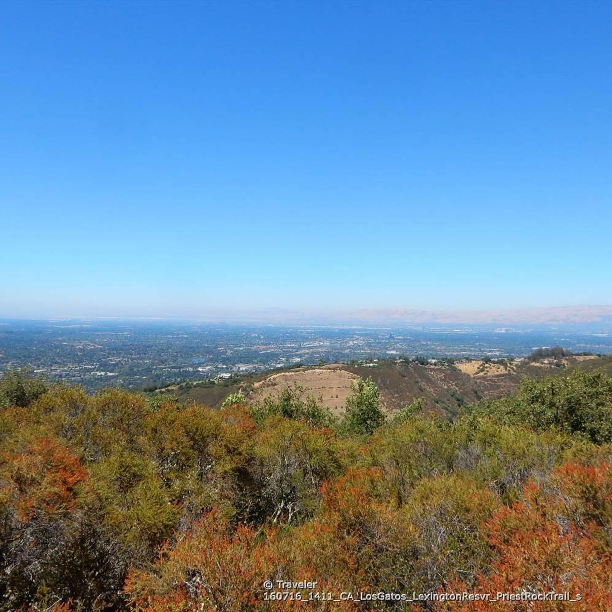
- The most popular attractions is Priest Rock Trail, a trail that serves as a gateway route from Lexington Reservoir into the preserve. It is popular with mountain bikers and hikers.
- Another must-see spot is Mount Umunhum Road (climb), a challenging road climb. The well-paved road leads to the summit of Mount Umunhum, offering spectacular 360-degree views of the Sierra Azul Open Space Preserve and the surrounding region.
- Visitors also love Sierra Azul Open Space, a large protected area straddling several ridges. This area is popular with mountain bikers and hikers, featuring various trails and viewpoints.
- Sierra Azul Open Space Preserve is known for its diverse trails, significant viewpoints, and natural features. Visitors can explore a variety of landscapes and historical sites within the preserve.
- The attractions in Sierra Azul Open Space Preserve are appreciated by the komoot community, with 12 upvotes and 55 photos shared by visitors.
Last updated: July 2, 2026
Mount Umunhum Road (climb)
Highlight (Segment) • Climb
Tip by

Kennedy Road Sierra Azul Trailhead
Highlight • Trail
Tip by

Sign up now to discover places like this
Get recommendations on the best single tracks, peaks, & plenty of other exciting outdoor places.
Sign up for free
Priest Rock Trail
Highlight (Segment) • Trail
Tip by
Sierra Azul Open Space
Highlight • Forest
Tip by
Hicks Road Climb
Highlight (Segment) • Climb
Tip by

Sign up for free to discover even more attractions in Sierra Azul Open Space Preserve.
Sign up for free
Already have an account?
Start today with a free account
Your next adventure awaits.
Login or Signup
Popular around Sierra Azul Open Space Preserve
Tips from the Community

Climbing Mount Umunhum is a tough but rewarding challenge. The road is steep, with sections reaching up to 18% grades, so pace yourself. The views from the top are spectacular, making the hard work worth it. Start early to avoid traffic and the heat, and be prepared for a long, demanding ascent.
0
0

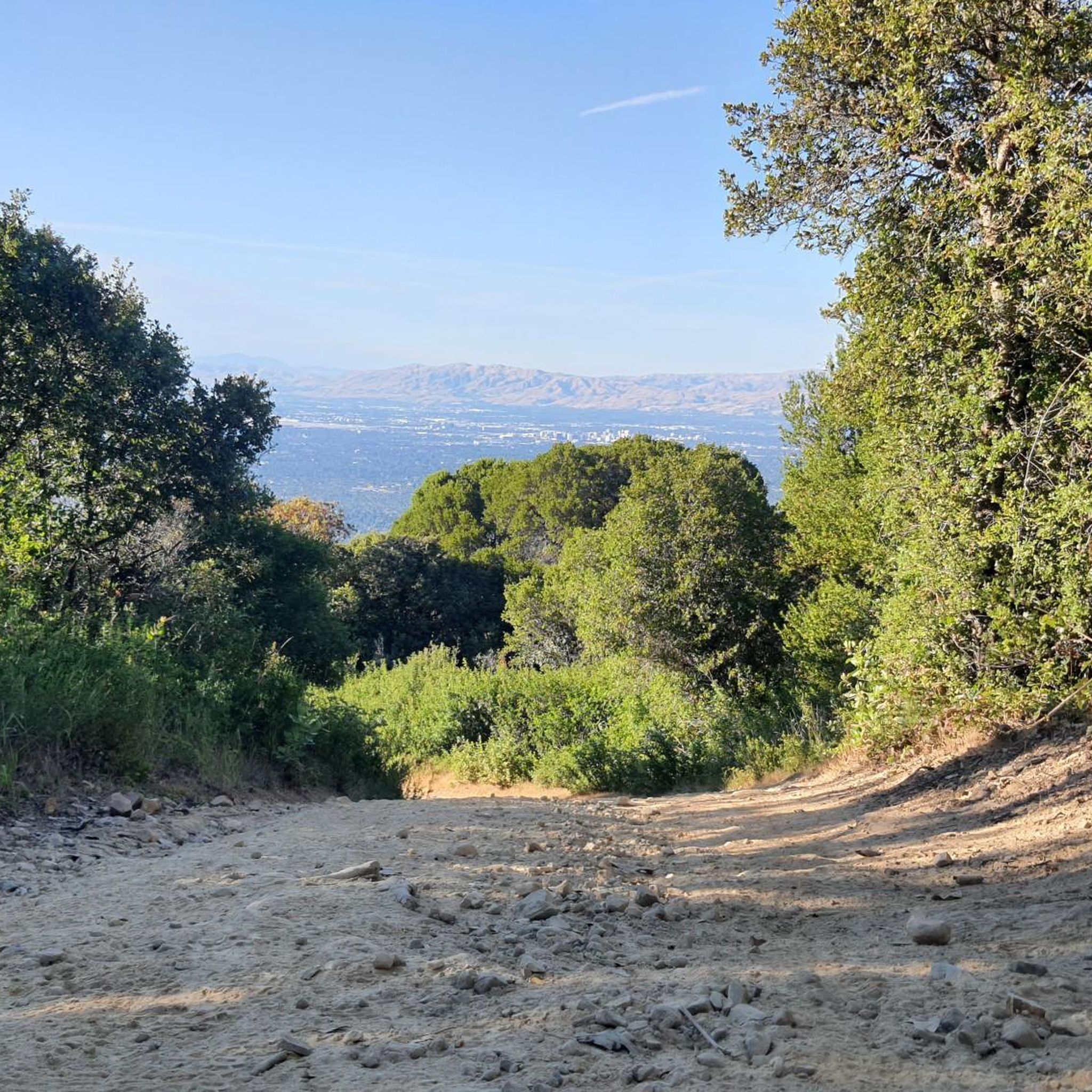
The Kennedy Road Sierra Azul Trailhead has a small parking area that fits about three cars, depending on size, and offers a shaded starting point. A portable toilet is available at the trailhead, and additional parking can be found at the top of Top of the Hill Road.
1
0

One of the highest virtually car-free road climbs in the South Bay, Mount Umunhum became quickly one of the most popular biking destinations since opening to the public in 2017 after being closed several decades for military radar operations. The hard work is rewarded with spectacular 360 degree views of the Sierra Azul Open Space Preserve and the surrounding hills, all the way to the Pacific Ocean in the West and the SF Bay to the north. Modern restrooms, drinking water fountains, and viewing terraces with benches welcome the weary. Don't be afraid, or too overwhelmed by your superpowers if you look at komoot's 9800 ft uphill climb estimate for this highlight. Their software is off by a factor of 5x or more. The actual elevation difference is around 1800 feet (about 600 meters). According to GoogleMaps the distance is only 5.2 miles, with about 2000 feet uphill. Even that is not bad, and you deserve to be proud ;-)
3
0

The steepest section up Hicks Road. If you want steeper though, turn right on Mount Umunhum Road until Bald Mountain Trailhead before heading back down.
3
0

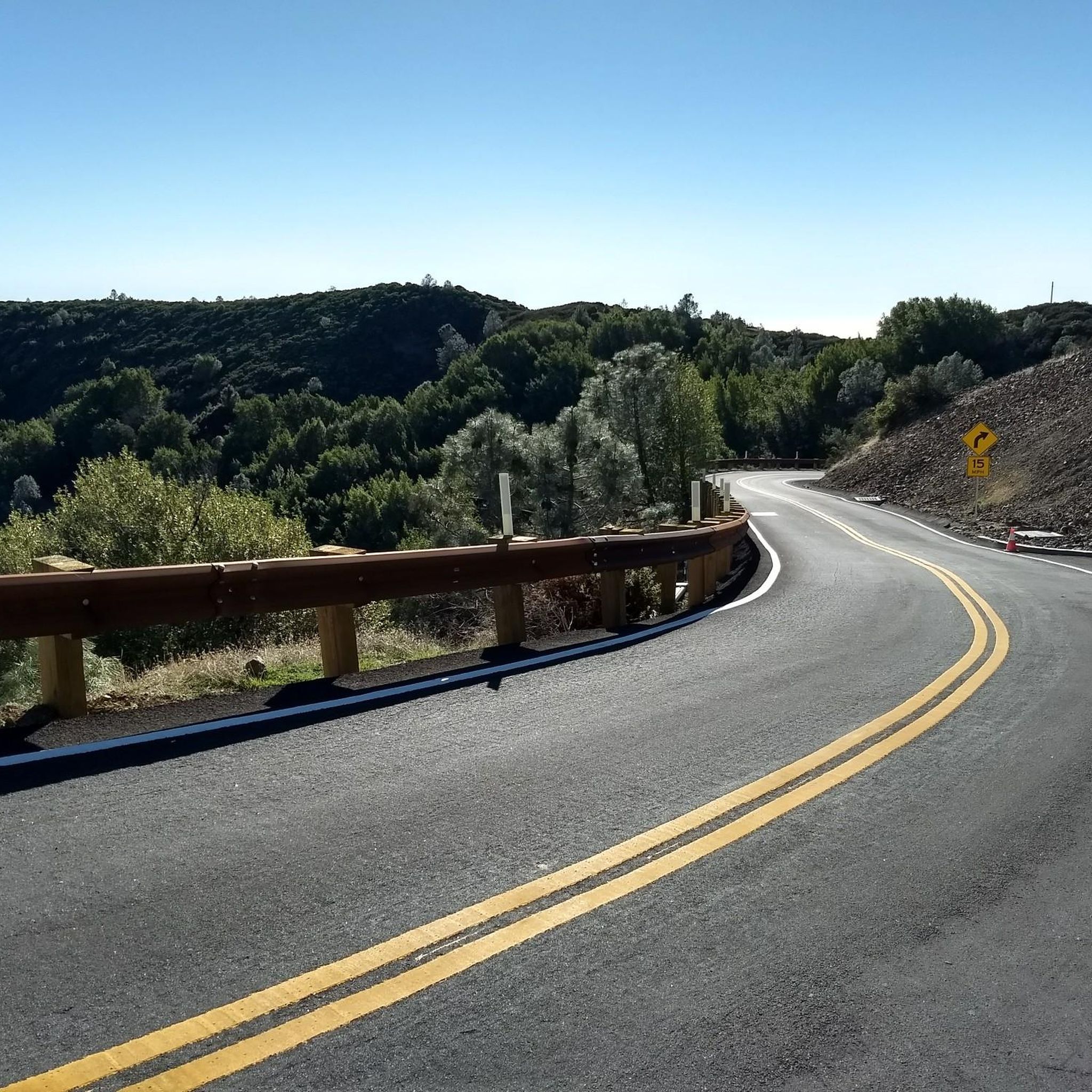
Well paved road reopened in 2017, climbing sometimes steeply in switchbacks into the Sierra Azul preserve from Hicks Road to the former radar tower on the summit of Mt Umunhum. It's a great workout, but don't be discouraged by the exaggerated 2950 feet elevation change estimate here by Komoot (in biking mode it even calculates 9750 feet): in reality it's closer to 1600 feet of climbing.
3
0
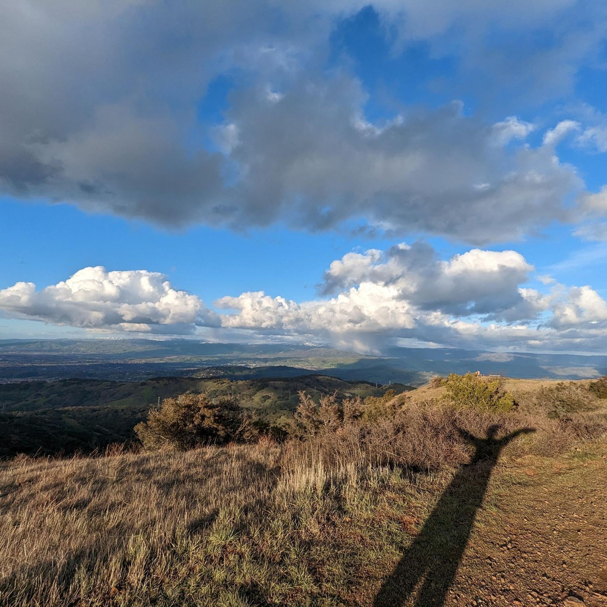
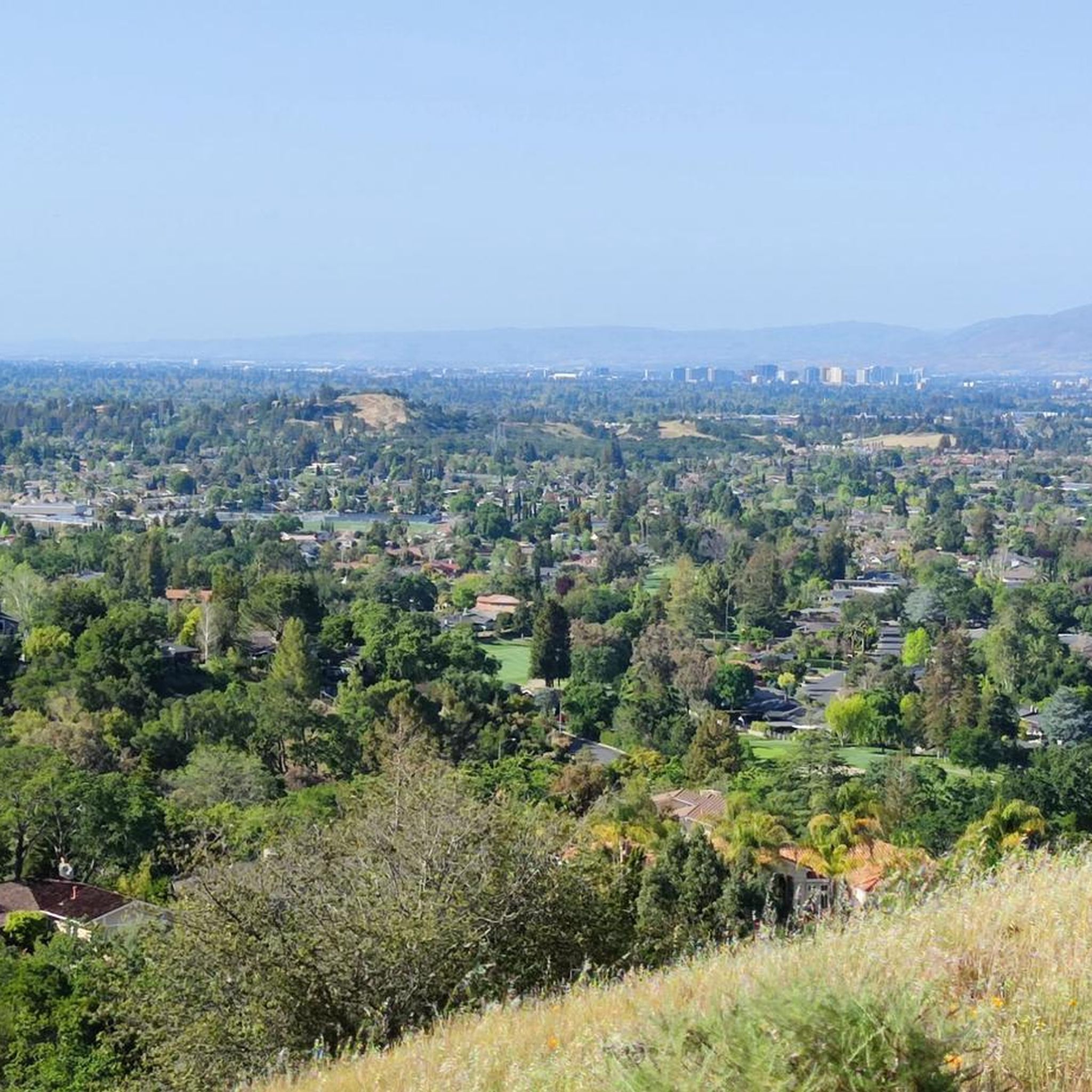
Sierra Azul Open Space Preserve is a very large protected area straddling several ridges between Los Gatos and Santa Cruz, popular with mountain bikers and hikers.
2
0
Priestrock Trail is one of the two gateway routes from Lexington Reservoir leading into Sierra Azul Open Space Preserve, popular with mountain bikers and hikers.
2
0
Frequently Asked Questions
What are some notable natural features and landmarks to see in Sierra Azul Open Space Preserve?
The preserve is home to prominent peaks like Mount Umunhum, offering breathtaking 360-degree views, and Mount El Sombroso. You can also see the distinctive Mount Umunhum Road (climb) which leads to the former Cold War-era radar tower. The preserve also overlooks Lexington Reservoir and features diverse landscapes including dense forests, grasslands, and riparian corridors.
What cultural or historical sites can I explore in the preserve?
Mount Umunhum is a sacred site to the Amah Mutsun people, and visitors can learn about Native American history through interpretive displays at the summit. The preserve also contains the former Almaden Air Force Station, with its iconic radar tower, which was operational during the Cold War. Historically, German and Austrian refugees settled in the area in 1870, developing orchards and vineyards near the New Almaden Quicksilver mining operations.
What is the best time to visit Sierra Azul Open Space Preserve?
The preserve offers diverse experiences throughout the year. Spring brings wildflowers, while cooler months are ideal for strenuous hikes. Summer can be hot, especially at higher elevations, so an early start is recommended. Always check weather conditions before your visit.
Are there family-friendly trails in Sierra Azul Open Space Preserve?
While many trails can be challenging, some sections or shorter loops might be suitable for families. The Woods Trail, for example, is a well-graded fire road that offers an introductory hike with views of wildflowers, birds, and butterflies. It can be extended to connect with other trails for longer walks.
What kind of wildlife can I expect to see in the preserve?
Sierra Azul is known for its rich biodiversity. You might spot wildlife such as mountain lions, deer, bobcats, and coyotes. The diverse habitats, including serpentine grasslands, rocky chaparral, and wooded creek canyons, support nearly 350 species of flowering plants.
Where can I find parking at Sierra Azul Open Space Preserve trailheads?
Parking is available at various trailheads. For instance, the Kennedy Road Sierra Azul Trailhead has a small parking area and a portable toilet. Additional parking can often be found at the top of Top of the Hill Road for certain access points. Always check specific trailhead information for parking availability.
What are the trail difficulty levels in Sierra Azul Open Space Preserve?
The preserve offers a range of trail difficulties. Trails like the Priest Rock Trail are considered intermediate, popular with both mountain bikers and hikers. The climb up Mount Umunhum Road (climb) is challenging, with steep sections. Many trails are multi-use and vary in elevation gain and terrain.
Are dogs allowed on trails in Sierra Azul Open Space Preserve?
Yes, many trails in Sierra Azul Open Space Preserve are dog-friendly. Always ensure your dog is on a leash and follow all posted regulations to protect wildlife and other visitors.
What outdoor activities, like cycling or hiking, can I do near these attractions?
Sierra Azul Open Space Preserve is excellent for various outdoor activities. You can find numerous road cycling routes, such as the Eureka Canyon Loop, or explore gravel biking options like the Lexington Reservoir – Los Gatos Creek Trail loop. For more details on routes, visit the Road Cycling Routes in Sierra Azul Open Space Preserve or Gravel biking in Sierra Azul Open Space Preserve guides.
Are there challenging climbs for cyclists in the preserve?
Absolutely. The preserve is known for its challenging climbs, particularly the Mount Umunhum Road (climb). This well-paved road leads to the summit of Mount Umunhum, offering a significant workout with spectacular 360-degree views. Another challenging section is the Hicks Road Climb.
What do visitors enjoy most about the Mount Umunhum area?
Visitors particularly enjoy the spectacular 360-degree views from the summit of Mount Umunhum, stretching from the Pacific Ocean to the Sierra Nevada and across the entire Bay Area. The challenging climb to the top is rewarded with these panoramic vistas, along with modern restrooms, drinking water fountains, and viewing terraces.
What types of trails are available for hiking in Sierra Azul Open Space Preserve?
The preserve offers 26 miles of multi-use trails suitable for hiking. Popular options include the Mount Umunhum Trail, a 3.9-mile path leading to the summit, and the Bald Mountain Trail, which offers expansive views of the Almaden Valley. The Priest Rock Trail is another popular gateway route into the preserve.
Most popular routes in Sierra Azul Open Space Preserve
Most popular attractions in Sierra Azul Open Space Preserve

Get inspired with the komoot mobile app


Explore more
Still not found the Highlight you’re looking for? See guides of the top attractions in other regions:
