The best traffic-free bike rides in Sierra Azul Open Space Preserve
4.8
(116)
3,366
riders
22
rides
Road cycling in Sierra Azul Open Space Preserve offers diverse terrain within the Santa Cruz Mountains, featuring challenging climbs and scenic routes. The preserve spans over 19,000 acres, characterized by varied landscapes including serpentine grasslands, chaparral, oak woodlands, and deep ravines. Prominent features include Mount Umunhum and Mount El Sombroso, providing significant elevation gains and panoramic views of the Santa Clara Valley and Lexington Reservoir. The area provides extensive opportunities for no traffic road cycling routes.
Best no traffic road cycling routes in Sierra Azul Open Space Preserve
- The most popular no traffic road cycling route is Roadbike loop from Lexington Reservoir County Park, a 17.1 miles (27.6 km) trail that takes 1 hour 36 minutes to complete. This moderate route explores the area around Lexington Reservoir, offering a mix of paved surfaces and scenic views.
- Another top favourite among local road cyclists is Top of Eureka Canyon – Old Santa Cruz Highway loop from Lexington Reservoir County Park, a difficult 43.9 miles (70.7 km) path. This route features significant climbs and descents through the mountainous terrain, rewarding riders with expansive vistas.
- Local road cyclists also love the Alamitos Creek Trail – Pfeiffer Park loop from Leigh High School, a 18.9 miles (30.4 km) trail leading through urban green spaces and park areas, often completed in about 1 hour 26 minutes.
- Road cycling in Sierra Azul Open Space Preserve is defined by challenging mountain ascents, scenic reservoir views, and diverse woodland paths. The network offers options for different ability levels, from easier loops to demanding climbs.
- The routes in Sierra Azul Open Space Preserve are highly rated by the komoot community with an average score of 4.6 stars from over 125 reviews. More than 3,500 road cyclists have used komoot to explore Sierra Azul Open Space Preserve's varied terrain.
Last updated: July 10, 2026
10
riders
70.7km
04:02
1,440m
1,440m
Hard road ride. Very good fitness required. Mostly well-paved surfaces and easy to ride.
5
riders
84.5km
04:42
1,430m
1,430m
Hard road ride. Very good fitness required. Mostly well-paved surfaces and easy to ride.

Sign up for free
4.0
(1)
42
riders
28.7km
02:05
980m
980m
Hard road ride. Very good fitness required. Some segments of this route may be unpaved and difficult to ride.
9
riders
39.2km
02:10
630m
630m
Moderate road ride. Good fitness required. Mostly well-paved surfaces and easy to ride.
15
riders
Moderate road ride. Great for any fitness level. Some segments of this route may be unpaved and difficult to ride.
Get access to more routes and recommendations from other explorers.
Sign up for free
Already have an account?
Our route recommendations are based on thousands of hikes, rides, and runs completed by other people on komoot.
Start today with a free account
Your next adventure awaits.
Login or Signup
Popular around Sierra Azul Open Space Preserve

Tips from the Community

If you make the summit a fantastic view awaits. Be aware the road goes down then up to the road about then up again to the summit!…
0
0

Still one of the highest points in the Santa Cruz Mountains, even though the military graded and flattened the actual summit to create an Air Force base. The summit was cleaned of hazardous material in 2009, then carefully restored after a lot of community input. It's a lovely place to visit now!
0
0

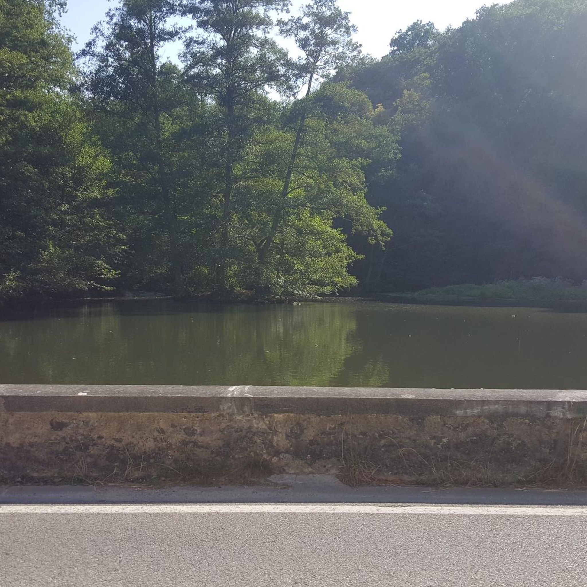
A scenic stop just off the winding roads of the Santa Cruz Mountains, Lexington Reservoir County Park is a great spot to catch your breath and enjoy the view. The smooth pavement along Alma Bridge Road makes it a popular stretch for cyclists, with rolling terrain and minimal traffic. There's parking, restrooms, and shaded areas if you need a break. From here, you can loop toward Los Gatos or push deeper into the climbs of Highway 17 and Old Santa Cruz Highway.
0
0

Los Gatos Coffee Roasting Company has been crafting coffee since 1982, becoming a beloved gathering spot for locals. They offer local wines, craft beers, and live music events on Thursdays, Fridays, and Saturdays from 7–9 PM. Visitors can enjoy espresso, tea, pastries, and fresh coffee beans to take home. Seating is available indoors, outdoors, and in a designated parklet.
1
0
Climbing Mount Umunhum is a tough but rewarding challenge. The road is steep, with sections reaching up to 18% grades, so pace yourself. The views from the top are spectacular, making the hard work worth it. Start early to avoid traffic and the heat, and be prepared for a long, demanding ascent.
0
0

If you're in Santa Cruz, Regale Vineyards is a must-visit. Nestled in the Santa Cruz Mountains, it offers more than just great wine – the views are incredible. Whether you're enjoying a tasting on the patio or strolling through the vineyards, you’ll be surrounded by lush greenery and towering redwoods. It’s a peaceful spot to relax and soak in the beauty of the area. Plus, the wines are fantastic, showcasing the best of the region.
0
0

An excellent spot to take a break and enjoy the full breath of Lexington Reservoir. There is a Plaque dedicated to deputy Douglas B. Miller, who was fatally wounded while performing his duties.
0
0
Forbes Mill Museum, housed in a two-story building of the original 1854 flour mill, offers a glimpse into Los Gatos' history. Built by James Alexander Forbes as California's first commercial flour mill, over the years, it served various roles, including a power plant and a PG&E substation. Saved from demolition in 1982, the building now features historical exhibits as part of New Museum Los Gatos.
0
0
Frequently Asked Questions
How many no-traffic road cycling routes are available in Sierra Azul Open Space Preserve?
There are over 20 dedicated no-traffic road cycling routes in Sierra Azul Open Space Preserve, offering a variety of distances and elevation gains. You'll find options ranging from easy to difficult, ensuring there's something for every fitness level.
Are there truly car-free paved routes for road cycling in Sierra Azul Open Space Preserve?
While many routes aim for minimal traffic, some sections, like Mount Umunhum Road, are well-paved and experience very mild vehicle traffic, making them excellent for road cycling. Other routes may utilize multi-use trails or quiet roads with limited vehicle access. For a truly easy, low-traffic experience, consider the Alamitos Creek Trail – Pfeiffer Park loop from Leigh High School.
What facilities, like restrooms and water, are available for cyclists in the preserve?
While specific facilities can vary by trailhead, it's always recommended to carry sufficient water and snacks, especially on longer rides, as water sources might be limited along the routes. Plan your stops in nearby towns like Los Gatos or San Jose for more amenities.
What is the e-bike policy for road cycling in Sierra Azul Open Space Preserve?
E-bike policies can vary within open space preserves. It's best to check the official Santa Clara County Parks website or the Midpeninsula Regional Open Space District website for the most current regulations regarding e-bike use on paved roads and multi-use trails within Sierra Azul Open Space Preserve before you head out.
Are there any family-friendly no-traffic road cycling routes?
Yes, there are several easier routes suitable for families looking for a less strenuous ride. The preserve offers 9 easy routes, such as the Alamitos Creek Trail – Pfeiffer Park loop from Leigh High School, which features less elevation gain and a more relaxed pace, ideal for a family outing.
What is the best time of year for road biking in Sierra Azul Open Space Preserve to avoid traffic?
Spring and fall generally offer the most pleasant weather for road cycling in Sierra Azul, with cooler temperatures and lush landscapes. Weekdays are typically less crowded than weekends, offering a better chance for a truly no-traffic experience. Summer can be hot, so early morning rides are advisable.
Where can I find parking for road biking routes in Sierra Azul Open Space Preserve?
Parking is available at various trailheads and access points around the preserve. Popular starting points include areas near Lexington Reservoir County Park, such as for the Roadbike loop from Lexington Reservoir County Park, or near Leigh High School for routes like the Alamitos Creek Trail – Pfeiffer Park loop.
What kind of viewpoints can I expect on no-traffic road cycling routes?
Sierra Azul Open Space Preserve offers spectacular panoramic views. Routes often lead to vistas overlooking the Santa Clara Valley, Lexington Reservoir, and the surrounding Santa Cruz Mountains. The climb up Mount Umunhum Road, for example, rewards cyclists with 360-degree views from the summit, including Silicon Valley and the Bay Area.
Are there challenging traffic-free road bike routes for experienced cyclists?
Absolutely. The preserve is known for its challenging climbs and significant elevation gains. Routes like the Mount Umunhum Road – Mount Umunhum loop from Oak Meadow offer over 1,300 meters of climbing, providing a substantial workout with rewarding views. There are 6 difficult routes available for those seeking a serious challenge.
What do other road cyclists enjoy most about road cycling in Sierra Azul Open Space Preserve?
The komoot community highly rates the road cycling experience in Sierra Azul Open Space Preserve, with an average score of 4.6 stars. Reviewers often praise the challenging climbs, the stunning panoramic views from peaks like Mount Umunhum, and the sense of wilderness despite being close to urban areas. The diverse landscapes and quiet roads are frequently highlighted as major draws.
Can I expect to see wildlife along the road cycling routes?
Yes, the preserve's diverse habitats, including grasslands, chaparral, and oak woodlands, support abundant wildlife. While cycling, you might spot deer, various bird species, and occasionally bobcats or coyotes. Remember to maintain a respectful distance and observe from afar.
Are there any circular no-traffic road cycling routes available?
Many of the routes in Sierra Azul Open Space Preserve are designed as loops, allowing you to start and end at the same point without retracing your path. For example, the Roadbike loop from Lexington Reservoir County Park is a popular moderate circular option.
Most popular routes in Sierra Azul Open Space Preserve
Most popular attractions in Sierra Azul Open Space Preserve

Get inspired with the komoot mobile app


Explore more
Browse the best Road cycling routes in other regions.
