The best road cycling routes in La Honda Creek Open Space Preserve
4.8
(22)
1,158
riders
22
rides
Road cycling routes in La Honda Creek Open Space Preserve traverse a diverse landscape featuring coastal grasslands, redwood groves, and oak woodlands. The region is characterized by varied terrain, including paved surfaces and challenging climbs, with some routes gaining over 1,200 feet in elevation. Cyclists can experience panoramic views of the Santa Cruz Mountains and the Pacific Ocean, alongside historic ranchlands and riparian corridors. The preserve's network includes multi-use trails that connect different areas, providing options for various fitness levels.
…Last updated: July 16, 2026
5.0
(3)
62
riders
58.2km
02:45
740m
740m
The La Honda Road – Stage Road loop offers a classic Bay Area road cycling experience, winding through a diverse landscape of oak woodlands and dense redwood forests. You'll tackle…
37
riders
72.1km
03:29
940m
940m
The Pescadero Creek Road – Stage Road loop from La Honda is a demanding road cycling route that immerses you in the diverse beauty of Northern California. You'll pedal through…

Sign up for free
5.0
(1)
16
riders
36.3km
01:58
760m
750m
Moderate road ride. Good fitness required. Mostly well-paved surfaces and easy to ride.
5.0
(1)
29
riders
110km
05:52
2,010m
2,010m
Hard road ride. Very good fitness required. Mostly well-paved surfaces and easy to ride.
13
riders
24.7km
01:03
170m
170m
Easy road ride. Great for any fitness level. Mostly well-paved surfaces and easy to ride.
Get access to more routes and recommendations from other explorers.
Sign up for free
Already have an account?
Our route recommendations are based on thousands of hikes, rides, and runs completed by other people on komoot.
Start today with a free account
Your next adventure awaits.
Login or Signup
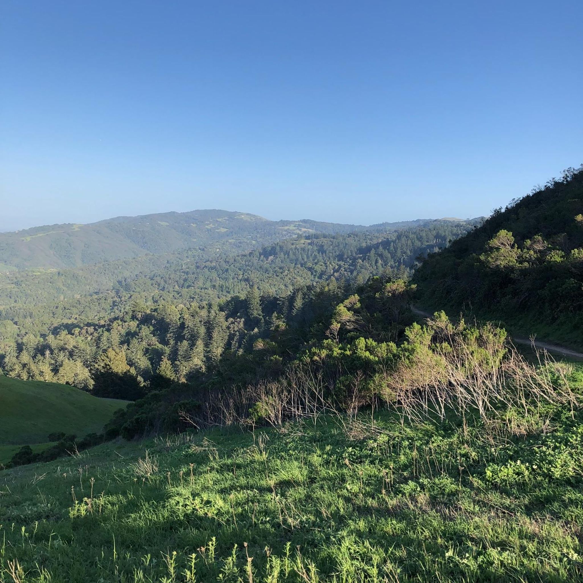
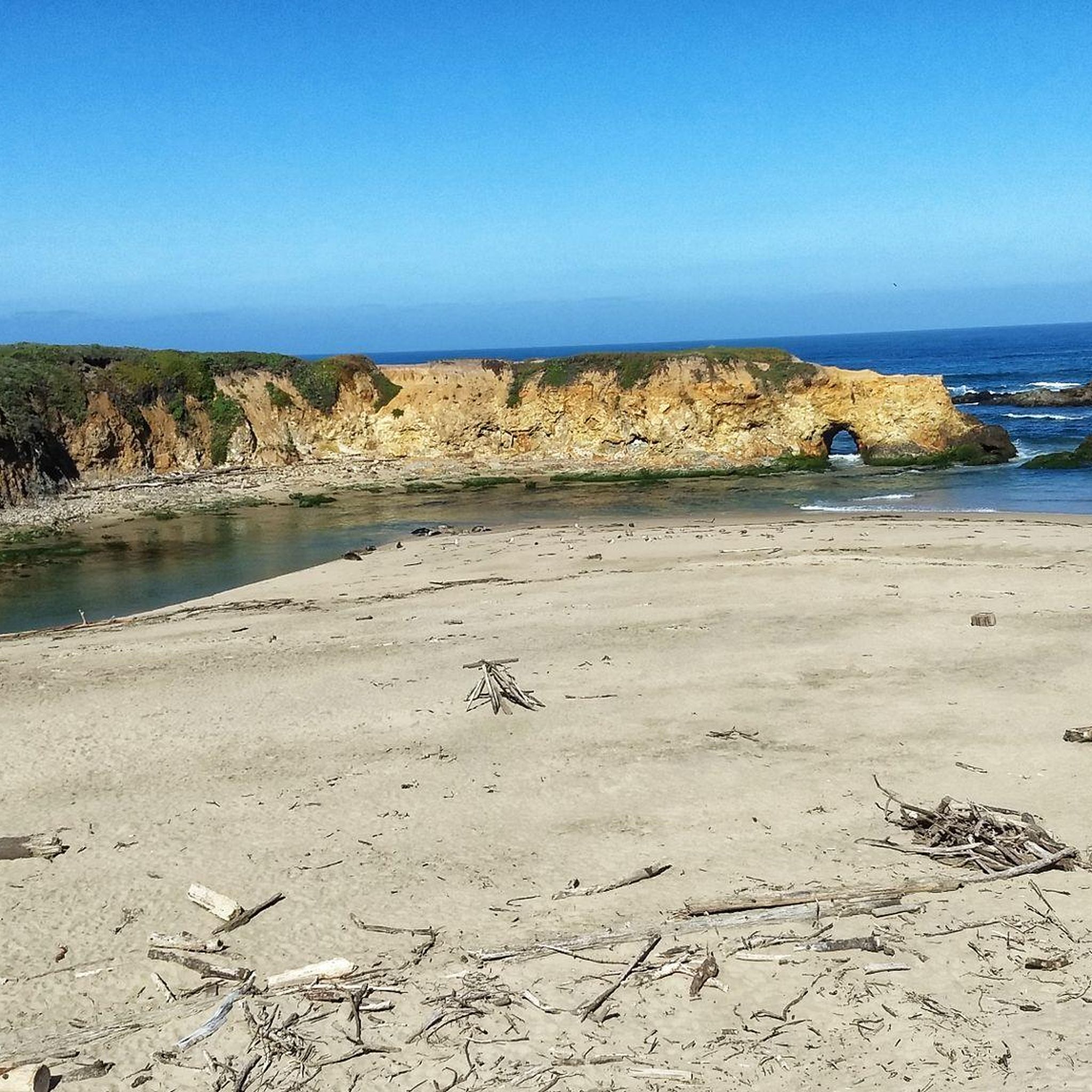


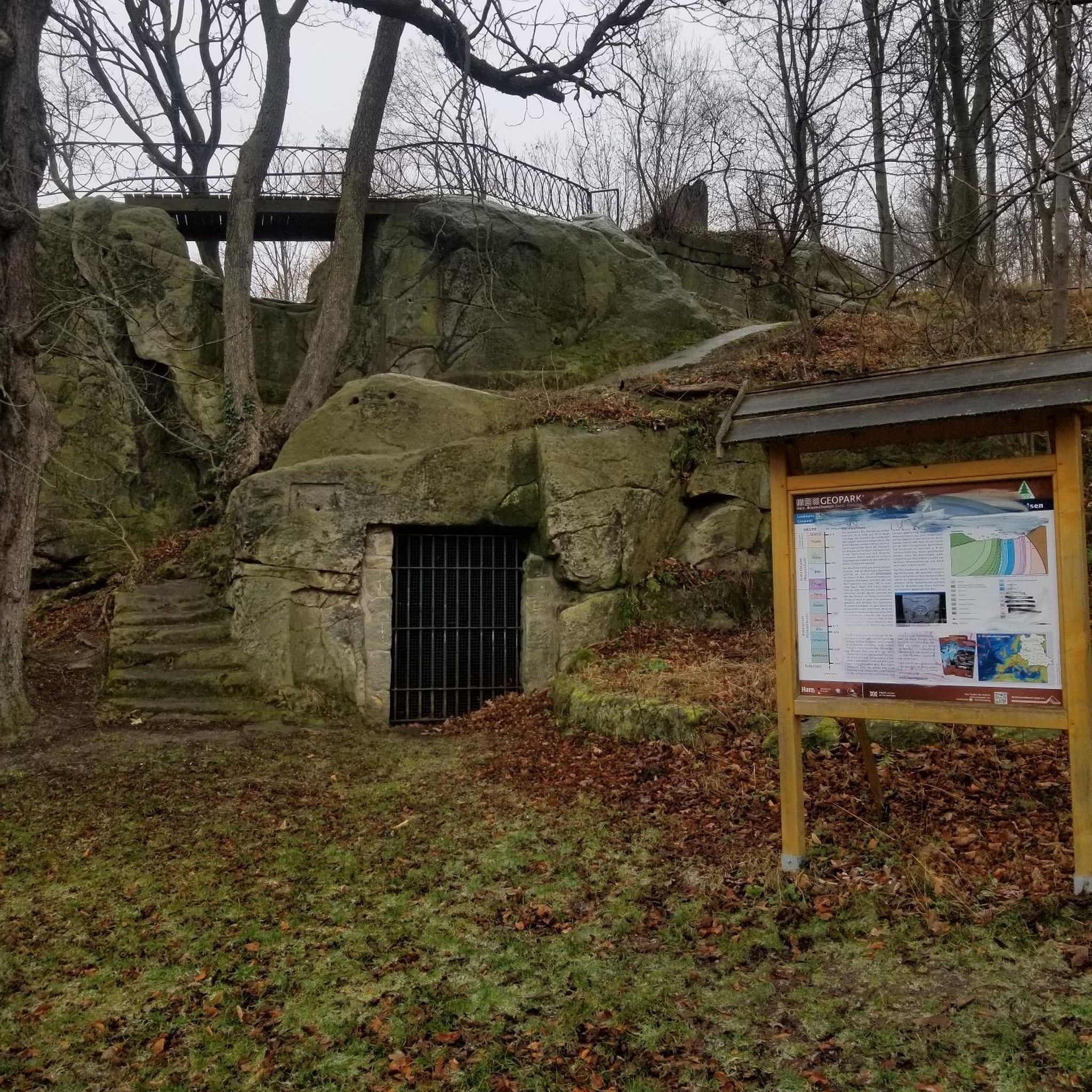
Tips from the Community

Alise’s Restaurant is a popular spot for both cyclists and motorcyclists. The food is good, the staff is known for being friendly, and the place has a laid-back, welcoming vibe—perfect for a post-ride meal or coffee break.
1
0

Didn’t OLR used to turn into Dirt before reaching Skyline? Is it all pavement now?? Scott
0
0
Page Mill Road is a classic route for cyclists looking for a challenge, with its steep climbs, sharp switchbacks, and stunning views of Silicon Valley. Starting near Palo Alto and climbing into the Santa Cruz Mountains, the ride tests your legs but rewards you with breathtaking scenery. Be prepared for varying gradients, especially in the lower sections, and pack plenty of water—the climb can be intense, especially on warmer days.
0
0

Great place for a break in a beautiful, peaceful spot among the redwoods. The restaurant is popular with locals, motorcyclists, hikers, and cyclists, and is the perfect place for a cold drink after finishing the climb up.
1
0

A lovely little cut through from the quiet MP part of Alma to the busy PA side (or the turn across the tracks and El Camino to Sand Hill). If you're not in a hurry, pause on the bridge to enjoy the view of the creek which might be dry in the summer or a raging torrent in the winter. The rail bridge to the west is the original Southern Pacific bridge from a century ago, still in use by Caltrain. And if you look closely, you will find El Palo Alto (from which the city gets its name) in this grove of redwoods. It is not obvious in 2024 but it is signed.
0
0

The San Francisquito Creek Bridge provides a smooth ride over the San Francisquito Creek, which eventually ends in southwest San Francisco Bay. Enjoy the beauty here and stop on the bridge to peer down into the creek.
0
0

Old La Honda Road is considered one of the most challenging climbs in the Bay Area. The road winds through Redwood forests, offering stunning views of the surrounding mountains and valleys, as well as a peaceful and enjoyable ride.
1
0

Alpine Rd Downhill to La Honda: https://youtu.be/MdsNqhRt4so?si=j7I-PfTWqhQc1lxf
0
0
Frequently Asked Questions
What kind of terrain can I expect on road cycling routes in La Honda Creek Open Space Preserve?
Road cycling routes in La Honda Creek Open Space Preserve offer a diverse experience, ranging from mostly paved surfaces to more challenging rides that may include unpaved segments. You'll encounter varied landscapes, including historic ranchland, redwood forests, coastal grasslands, and oak woodlands, often with significant elevation changes.
Are there road cycling routes suitable for beginners in La Honda Creek Open Space Preserve?
Yes, the preserve offers routes suitable for various skill levels. There are 4 easy routes available, some with up to 500 feet of elevation gain, making them accessible for those new to road cycling or looking for a more relaxed ride. An example of an easy route is the Downtown Pescadero loop from Pescadero.
What are the more challenging road cycling routes like in the preserve?
For experienced road cyclists, the preserve features routes requiring very good fitness, with some involving over 1500 feet of elevation gain. These routes can be quite remote and challenging, often covering distances of 7-14 miles. An example of a difficult route is the Pescadero Creek Road – Stage Road loop from La Honda, which includes significant elevation gain and offers expansive views.
How many road cycling routes are available in La Honda Creek Open Space Preserve?
There are 19 road cycling routes documented in La Honda Creek Open Space Preserve. These routes are categorized by difficulty, with 4 easy, 12 moderate, and 3 difficult options to choose from.
What natural features or landmarks can I see while road cycling in the preserve?
While cycling, you can enjoy sweeping views of the San Mateo County Coast and the Santa Cruz Mountains. Notable natural features include pockets of redwood forest, coastal grasslands, oak woodlands, and riparian corridors along La Honda Creek. Keep an eye out for the 'Big Tree,' one of the few remaining old-growth redwood trees, and a tafoni rock formation along the Coho Vista Trail.
Are there any historical attractions along the road cycling routes?
Yes, the preserve retains its ranching heritage with historical structures. You might encounter a circa-1900 red barn, which now serves as a roost for bats, and a pre-1860 white barn, offering a glimpse into the area's past.
What do other road cyclists say about their experience in La Honda Creek Open Space Preserve?
The road cycling routes in La Honda Creek Open Space Preserve are highly rated by the komoot community, with an average score of 4.4 stars from over 10 reviews. Cyclists often praise the diverse terrain, panoramic views, and the opportunity to explore redwood groves and historic ranchlands.
Is parking available for road cyclists at La Honda Creek Open Space Preserve?
Parking is available at designated areas. However, it's important to note that access from the Allen Road Permit Parking Area specifically does not permit biking, so plan your starting point accordingly.
Can I find cafes or pubs near the preserve for a post-ride refreshment?
Yes, the nearby town of La Honda and Pescadero offer options for cafes and pubs where you can refuel and relax after your ride. These local establishments provide a convenient stop for cyclists.
Are the multi-use trails in La Honda Creek Open Space Preserve suitable for road bikes?
While new multi-use trails like Coho Vista, Western Meadowlark, Lone Madrone, and Lonely Forest were recently opened, specifically welcoming mountain biking, road cyclists should be prepared for potentially mixed terrain. Some longer, more challenging loops might include unpaved segments, so consider your bike's capabilities and tire choice.
What is the best time of year to go road cycling in La Honda Creek Open Space Preserve?
The preserve offers enjoyable cycling conditions throughout much of the year. However, the varied landscapes, including coastal grasslands and redwood forests, can be particularly pleasant during spring and fall when temperatures are mild and the scenery is vibrant. Always check local weather conditions before heading out.
Are there any road cycling routes that offer a good loop experience?
Yes, many of the routes are designed as loops, allowing you to start and end in the same location. For example, the La Honda Road – Stage Road loop from La Honda is a popular moderate route that takes you through varied terrain.
Most popular routes in La Honda Creek Open Space Preserve

Get inspired with the komoot mobile app


Explore more
Browse the best Road cycling routes in other regions.
