Thornewood Open Space Preserve (Closed Area)
Thornewood Open Space Preserve (Closed Area)
The best running trails in Thornewood Open Space Preserve (Closed Area)
4.7
(22)
1,662
runners
62
runs
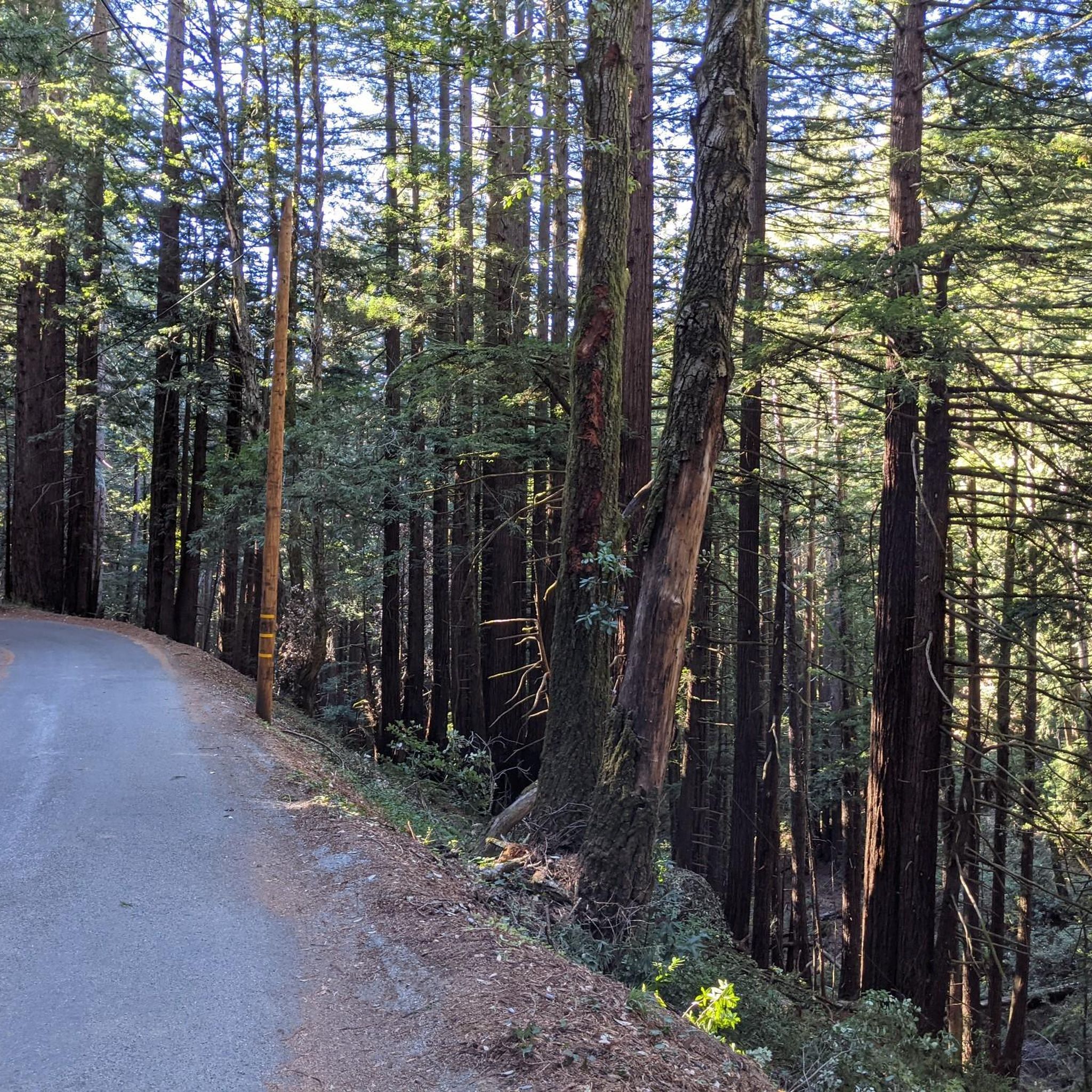
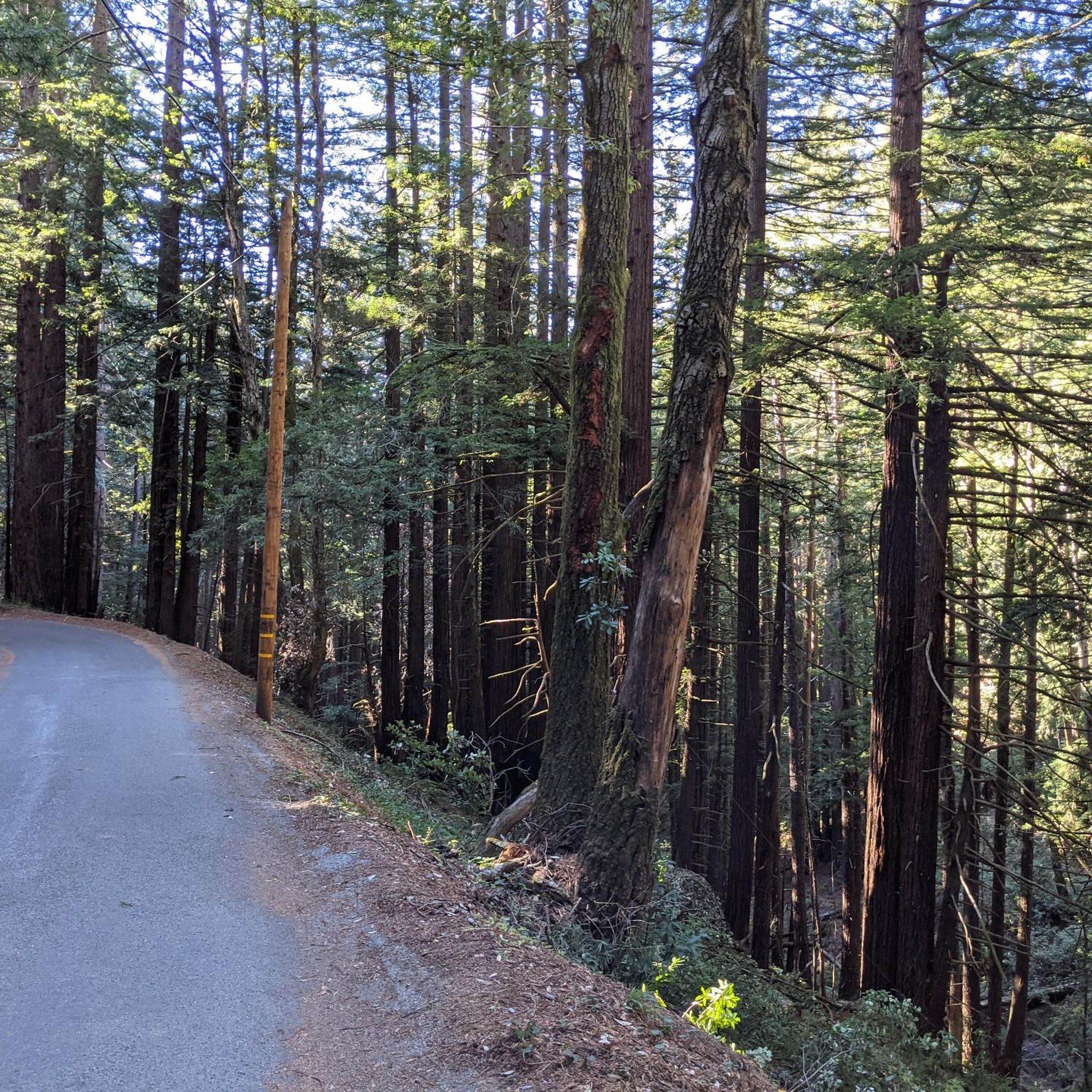
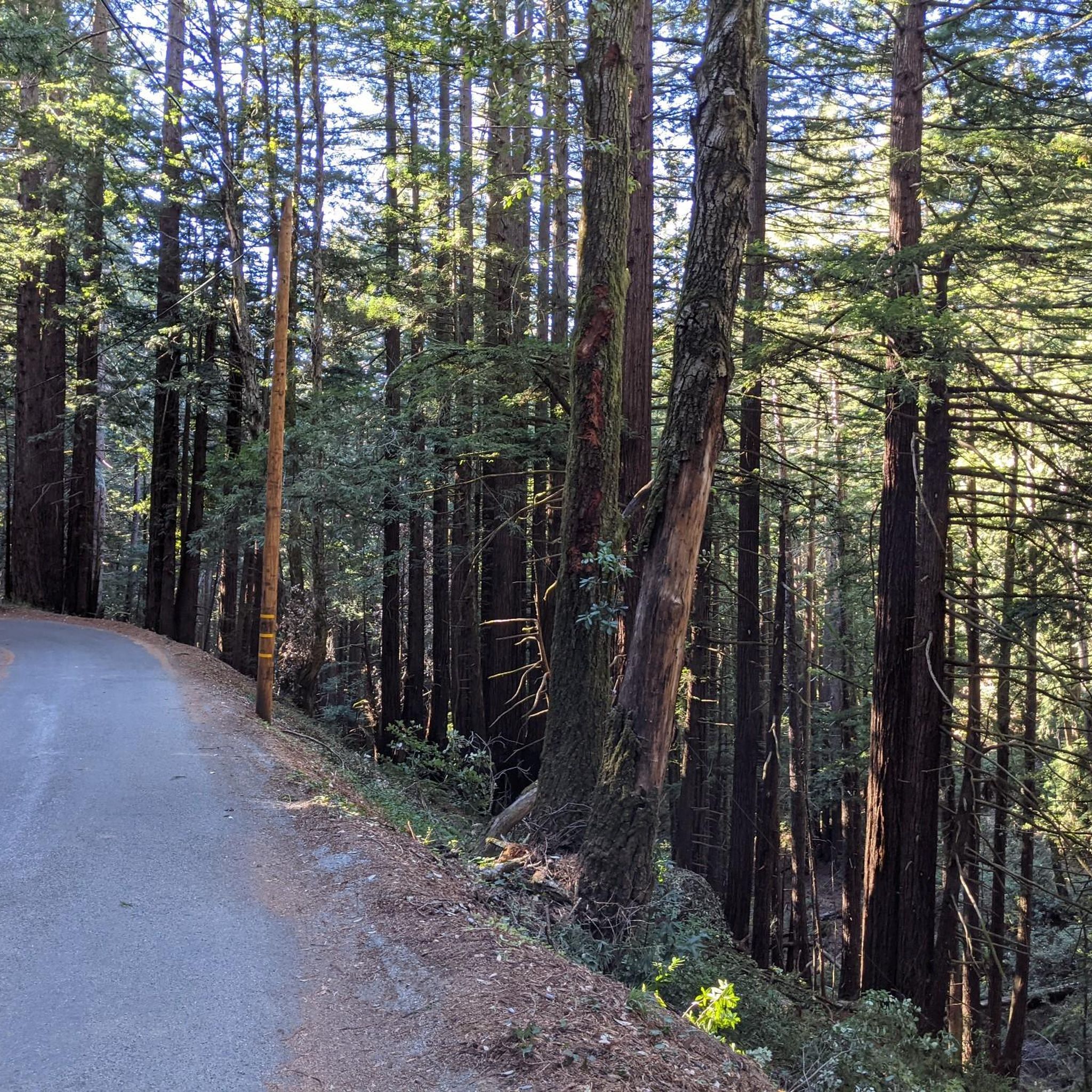
Jogging in Thornewood Open Space Preserve (Closed Area) offers a tranquil experience within the Santa Cruz Mountains. The region is characterized by forested hills, diverse tree species including redwood, Douglas fir, oak, and madrone, and shaded paths. A central feature is Schilling Lake, a protected wildlife habitat surrounded by grand redwood trees.
Best jogging routes in Thornewood Open Space Preserve (Closed Area)
- The most popular jogging route is Bear Gulch Trail (Meadow) loop from Wunderlich County Park, a 9.9…
Last updated: July 9, 2026
7
runners
5.10km
00:43
190m
190m
Moderate run. Good fitness required. Mostly paved surfaces. Suitable for all skill levels.
8
runners
9.07km
01:16
350m
350m
Hard run. Very good fitness required. Mostly paved surfaces. Suitable for all skill levels.

Sign up for free
6
runners
29.0km
03:47
790m
790m
Hard run. Very good fitness required. Sure-footedness, sturdy shoes and alpine experience required.
4.5
(2)
67
runners
16.7km
02:13
490m
490m
Hard run. Very good fitness required. Mostly paved surfaces. Suitable for all skill levels.
35
runners
10.2km
01:15
200m
200m
Moderate run. Good fitness required. Mostly paved surfaces. Suitable for all skill levels.
Get access to more routes and recommendations from other explorers.
Sign up for free
Already have an account?
Our route recommendations are based on thousands of hikes, rides, and runs completed by other people on komoot.
Start today with a free account
Your next adventure awaits.
Login or Signup
Popular around Thornewood Open Space Preserve (Closed Area)
Tips from the Community

The hike from Razorback Ridge trailhead to the Windyhill summit is mostly through shaded sections. Sections of it kept cool from the fog rolling in from the Santa Cruz Mountains. The final section, Anniversary Trail is out in the open but has nice views of the bay.
0
0

Along the Old Spanish Trail, there’s a small bench tucked under eucalyptus trees where you get a clear view of Mt. Diablo. It’s a good spot to pause, catch your breath, and take in the landscape.
0
0

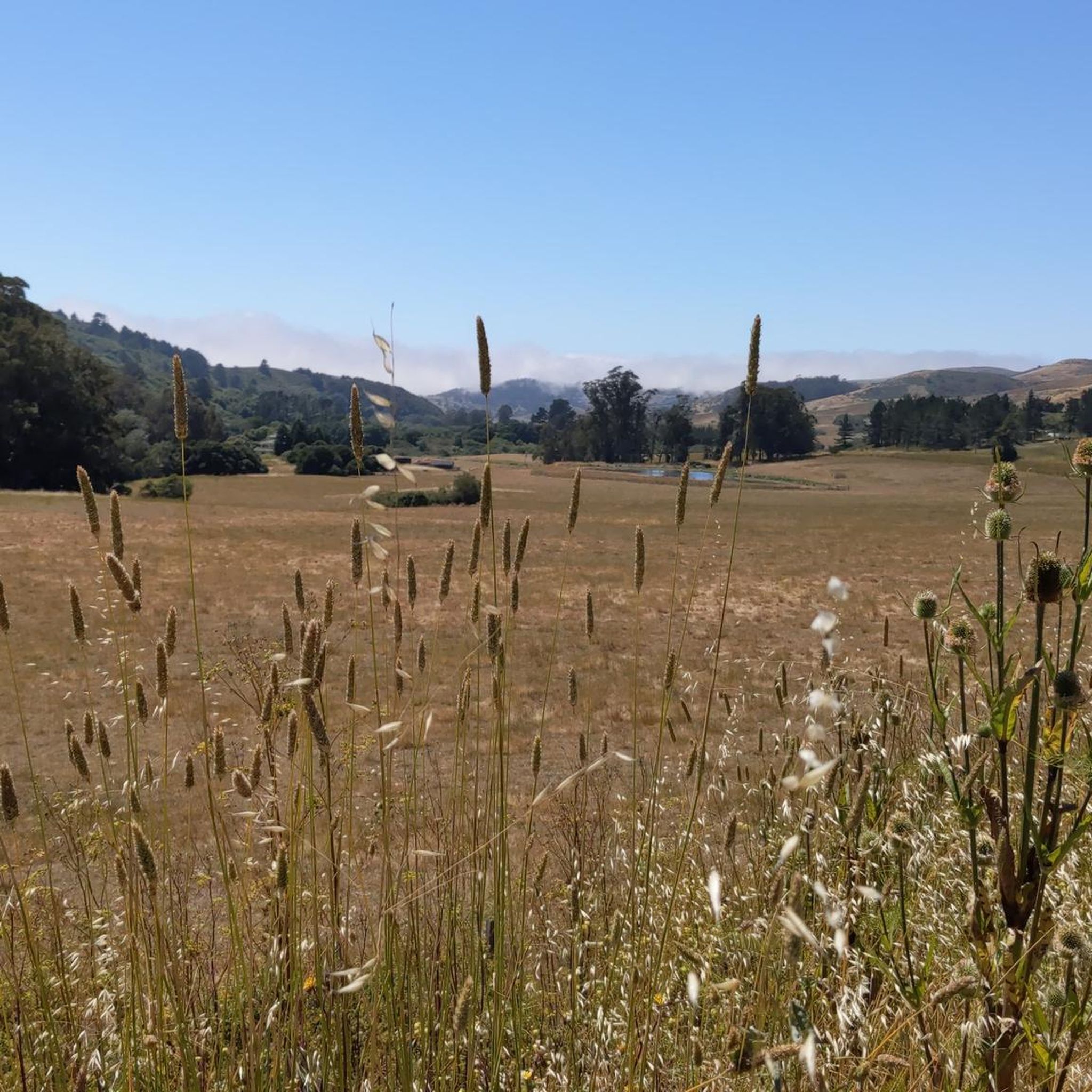
From up here on the ridge you get great sweeping views across the foothills. On a clear day you can see out west to the Pacific Ocean.
0
0
On a clear day, you can see up the bay to San Francisco and out across Silicon Valley. The trail follows a packed dirt track which winds above the treetops, granting sweeping views from this northern section.
0
0

Borel Hill is my favorite place to watch spring flowers. The western slope near ancient oaks (5-10min west of Borel Hill) are covered with orange California Poppies and purple flowers starting in April. Borel Hill itself peaks around mid May and has a wide variety of flowers. The show lasts only a few weeks until end of May. The peak time and flower intensity varies from year to year, so come several times between April and May. There is small summit NW of Borel Hill and a narrow dirt trail leads you to a rock within 2 min. The rock is big enough for 2-3 to sit on. On a sunny day, the rock is nice warm even if the air is cold. Good views on the ocean and the Bay.
1
0

Wunderlich Park, spanning 942 acres, is picturesque, with a beautiful mix of chaparral and redwood forest, expansive meadows, and striking oak and madrone trees. There is plenty of open space featuring a network of lovely hiking trails. Donated to the county by Martin Wunderlich, this area includes what was once the Folger family ranch. The stable and surrounding buildings have been meticulously restored, serving as a cherished historic landmark for the community. Dogs are not allowed in the park, so you'll need to leave your pup at home.
0
0

Windy Hill Summit, located at an elevation of 1,905 feet within the Windy Hill Open Space Preserve, offers great views of Silicon Valley and the Peninsula. The preserve stretches 1,132 acres along the east side of the Santa Cruz Mountains, coming up from the valley road near Portola Valley to this scenic summit. It’s a great spot to watch the sunset and take in views.
0
1

The top of Borel Hill has an elevation of 2,572 feet and offers panoramic views of the city below as well as views of the ocean in the distance.
0
0
Frequently Asked Questions
How many running routes are available in Thornewood Open Space Preserve?
There are over 50 dedicated running routes mapped in Thornewood Open Space Preserve, offering a variety of options for different fitness levels and preferences.
What kind of terrain can I expect on the jogging trails in Thornewood Open Space Preserve?
The preserve features forested hills and shaded paths, with a mix of second-growth redwood, Douglas fir, oak, and madrone woodlands. You'll find both easy and moderate options, with some gradual inclines, providing a good workout without being overly strenuous. The extensive tree cover ensures ample shade, making it comfortable for running even on brighter days.
Are there any family-friendly running paths in the preserve?
Yes, Thornewood Open Space Preserve offers trails suitable for families. The preserve's trails are generally described as easy to moderate, with shaded paths and a tranquil environment, making them accessible for various fitness levels. While specific 'family' routes aren't highlighted, the overall nature of the trails, like the 0.75-mile Schilling Lake Trail, is conducive to a pleasant outing with children.
Can I bring my dog on the running routes?
Yes, Thornewood Open Space Preserve is dog-friendly. Dogs are permitted on leash on all trails, so you can enjoy your run with your canine companion.
Are there any loop running routes available?
Absolutely. Many of the routes in the preserve are loops. For example, the Bear Gulch Trail – Alambique Trail loop from Wunderlich County Park is a moderate 3.2-mile path, and the Running loop from Portola Valley is another moderate 8.2 km option. These loops allow you to experience varied scenery without retracing your steps.
What are some notable natural features or attractions I might see while running?
A central attraction is Schilling Lake, a protected wildlife habitat surrounded by grand redwood trees, offering a serene and picturesque spot. Along trails like the Schilling Lake Trail, you can also glimpse views of the southern San Francisco Bay, Palo Alto, and the distant Diablo Range. The diverse forests themselves, with redwoods, Douglas firs, oaks, and vibrant autumn colors from black oaks and big-leaf maples, are a major draw.
What is the best time of year to go running in Thornewood Open Space Preserve?
The preserve is open year-round. The extensive tree cover provides ample shade, making it a comfortable place to jog even on brighter days. In autumn, black oaks and big-leaf maples add vibrant color to the landscape, offering a particularly scenic experience. Wildflowers bloom into summer, adding another layer of beauty.
Are there options for more challenging or advanced running workouts?
Yes, the preserve and surrounding area offer more challenging options. For instance, the Bear Gulch Trail (Meadow) loop from Wunderlich County Park is a difficult 9.9-mile route with significant elevation gain. Another demanding option is the Windy Hill Summit loop from Portola Valley, a 14.5-mile trail leading through rolling hills with expansive views.
What do other runners say about the trails in Thornewood Open Space Preserve?
The running routes in Thornewood Open Space Preserve are highly rated by the komoot community, with an average score of 4.8 stars from more than 10 reviews. Runners often praise the tranquil environment, the extensive shade provided by the diverse forests, and the beautiful views of Schilling Lake and the surrounding bay area.
Is there parking available for the preserve?
While the guide doesn't specify exact parking locations, Thornewood Open Space Preserve is conveniently located in the hills above Woodside, implying accessibility for visitors by car. It's advisable to check the Midpeninsula Regional Open Space District's official website for specific parking lot details and regulations before your visit.
How accessible is Thornewood Open Space Preserve by public transport?
The preserve is situated in the Santa Cruz Mountains near Woodside, California. Public transport options directly to the preserve are generally limited due to its natural, somewhat remote setting. Access is primarily by car, making it ideal for a quick getaway for those driving.
What is the current status of the 'Closed Area' mentioned in the preserve's name?
While a portion of the original Thornewood estate, including the historic house and a 10-acre leasehold, remains closed to the public for restoration, the vast majority of the 167-acre preserve is open year-round for visitors to explore and enjoy its trails.
Most popular routes in Thornewood Open Space Preserve (Closed Area)

Get inspired with the komoot mobile app


Explore more
Browse the best Running Trails & Routes in other regions.
