The best road cycling routes in Henry Coe State Park
4.6
(11)
979
riders
4
rides
Road cycling in Henry Coe State Park offers routes through a landscape characterized by rolling hills, reservoirs, and expansive natural parkland in Santa Clara County. The terrain includes varied elevations, from gentle slopes suitable for beginner friendly road bike trails to significant climbs that define challenging road bike routes Henry Coe. Road cyclists can expect to navigate roads that wind through valleys and past water features, providing diverse riding experiences.
Best road cycling routes in Henry Coe State Park
- The most popular road cycling route is Coyote Lake Entrance – Mendoza Ranch Entrance loop from Hunting Hollow Trailhead, a 14.8 miles (23.8 km) trail that takes 1 hour 13 minutes to complete. This moderate route offers views of Coyote Lake and surrounding parkland.
- Another top favourite among local road cyclists is Anderson Reservoir – Ogier Ponds Bike Path loop from Anderson Lake Park (Permanent Closed Areas), an easy 16.0 miles (25.7 km) path. This route features scenic stretches alongside Anderson Reservoir and Ogier Ponds.
- Local road cyclists also love the Coyote Valley Farm – Ogier Ponds Bike Path loop from San Martin, a 28.8 miles (46.4 km) trail leading through the Coyote Valley, often completed in about 2 hours 9 minutes.
- Road cycling in Henry Coe State Park is defined by rolling hills, reservoir views, and natural parkland. The network offers options for different ability levels, from easy paths to difficult climbs.
- The routes in Henry Coe State Park are highly rated by the komoot community with an average score of 4.8 stars from over 14 reviews. More than 1100 road cyclists have used komoot to explore Henry Coe State Park's varied terrain.
Last updated: October 11, 2026
13
riders
30.0km
01:29
430m
430m
Moderate road ride. Good fitness required. Mostly well-paved surfaces and easy to ride.
22
riders
46.7km
02:09
120m
120m
Moderate road ride. Good fitness required. Mostly well-paved surfaces and easy to ride.

15
riders
69.6km
03:42
1,200m
1,200m
Hard road ride. Very good fitness required. Mostly well-paved surfaces and easy to ride.
4.5
(4)
170
riders
43.3km
02:13
130m
130m
Moderate road ride. Good fitness required. Some segments of this route may be unpaved and difficult to ride.
21
riders
Easy road ride. Great for any fitness level. Mostly well-paved surfaces and easy to ride.
Our route recommendations are based on thousands of hikes, rides, and runs completed by other people on komoot.
Start today with a free account
Your next adventure awaits.
Popular around Henry Coe State Park
Tips from the Community

Here, you can buy fresh fruit, including prunes, pears, apricots, and cherries, depending on the season.
0
0

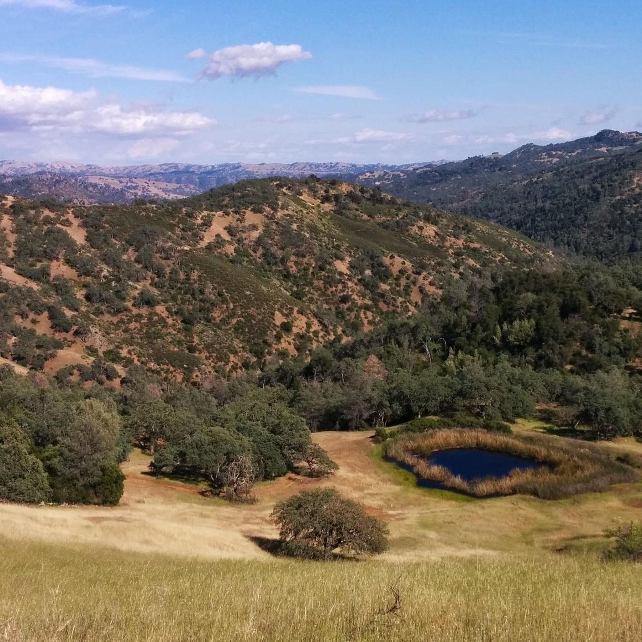
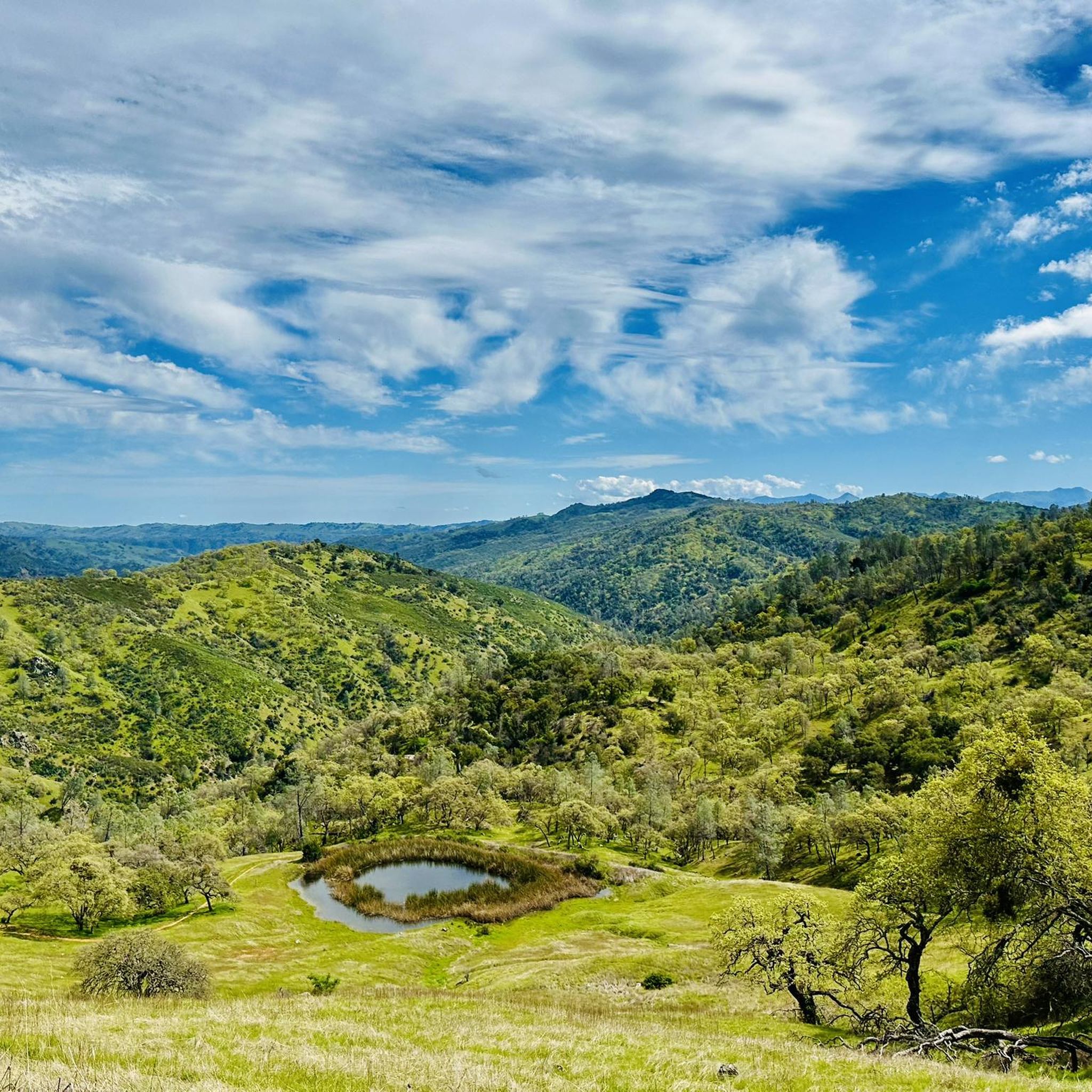
The Coyote Creek Trail passes through the heart of Coyote Ranch, which is lined with open pastures and hillsides. There are also a couple small reservoirs on the property that you get to walk by during your hike.
0
0

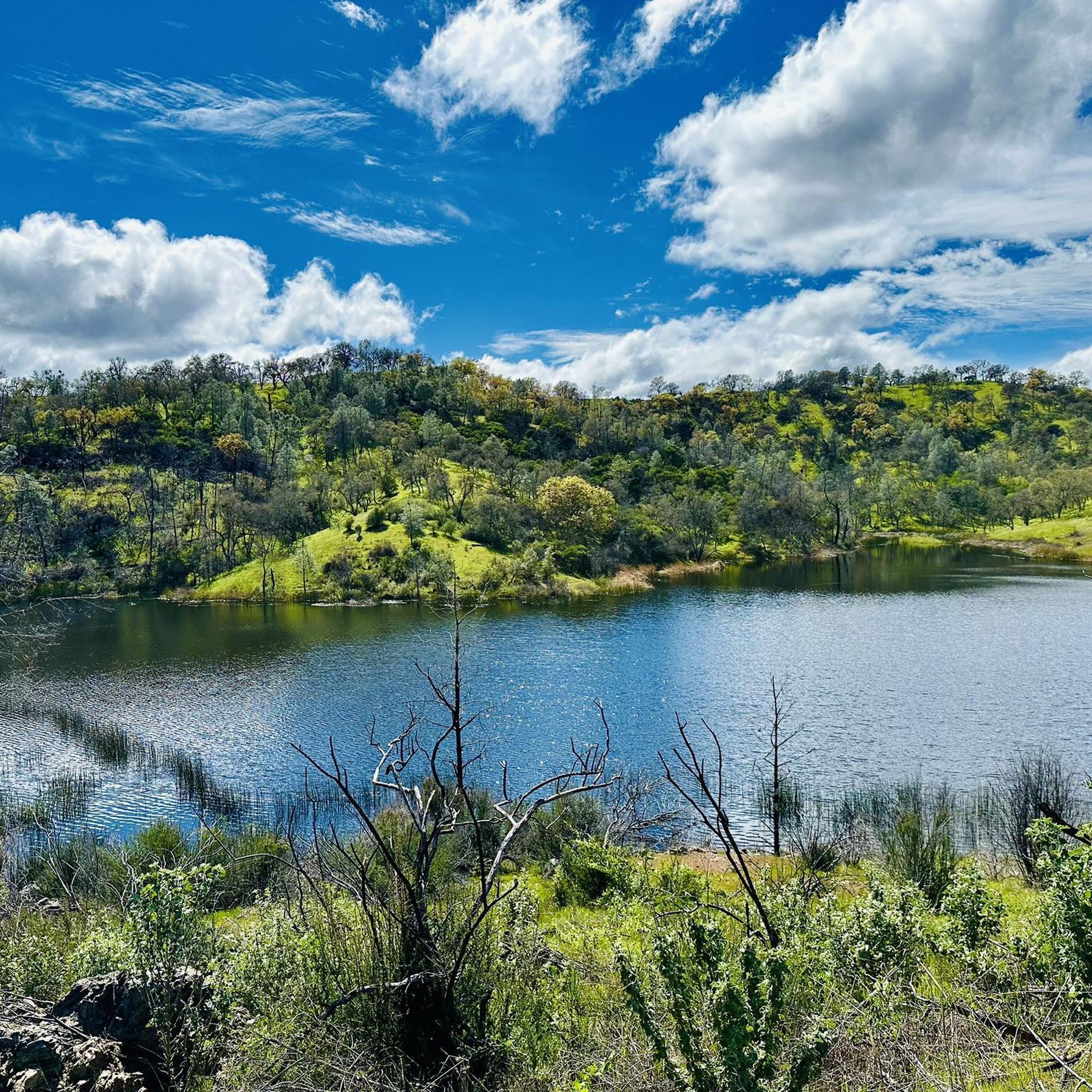
Chesbro Reservoir County Park is a 232-acre park that surrounds Chesbro Reservoir and is known for catch-and-release fishing. There is no swimming or boating allowed in the lake.
0
0
Chesbro Reservoir County Park is a 232-acre park that surrounds Chesbro Reservoir and is known for catch-and-release fishing. There is no swimming or boating allowed in the lake.
0
0

This smooth and winding road is a joy to ride with plenty of incredible views of Anderson Lake to take in. With a steady gradient you can get some pace up here too.
0
0

The pond is nestled within the larger Coyote Creek Parkway, providing access to miles of trails for running, biking, or hiking. You can explore further along Coyote Creek and discover more scenic spots.
0
0

The Coyote Creek Trail, also called the Bay Area Ridge Trail, is a stunningly paved multi-use path that slowly transitions to gravel. The trail winds in between a number of ponds and has a little more shade at the turnaround loop.
0
0
The 21-Mile House, at 21-Mile Park, was a tavern and stagecoach rest stop located 21 miles away from San Jose. The house was constructed in 1852 (although no longer here today) and was crucial for providing refreshments to horses and their riders. Today there is a bronze plaque to commemorate the site.
0
0
Frequently Asked Questions
How many road cycling routes are available in Henry Coe State Park?
Komoot features 8 distinct road cycling routes within Henry Coe State Park, ranging from easy to difficult, ensuring options for various skill levels.
Are there beginner-friendly road cycling routes in Henry Coe State Park?
Yes, Henry Coe State Park offers several easy road cycling routes. An excellent option is the Anderson Reservoir – Ogier Ponds Bike Path loop from Anderson Lake Park, which is 16.0 miles long and features scenic stretches alongside the reservoir and ponds.
What are some challenging road cycling routes for experienced riders in Henry Coe State Park?
For experienced riders seeking a challenge, the Chesbro Reservoir County Park – Coe Ranch Headquarters loop from San Martin is a difficult 43.2-mile route with significant elevation changes, providing a demanding ride through the park's varied terrain.
Are there any loop routes for road cycling in Henry Coe State Park?
Many of the road cycling routes in Henry Coe State Park are designed as loops. For example, the popular Coyote Lake Entrance – Mendoza Ranch Entrance loop from Hunting Hollow Trailhead offers a 14.8-mile moderate ride with views of Coyote Lake.
What is the best time of year for road cycling in Henry Coe State Park?
The spring and fall months generally offer the most pleasant conditions for road cycling in Henry Coe State Park, with milder temperatures and less extreme weather. Summers can be hot, and winters may bring rain, impacting road conditions.
What kind of scenery can I expect on road cycling routes in Henry Coe State Park?
Road cycling in Henry Coe State Park is characterized by rolling hills, expansive natural parkland, and views of reservoirs like Coyote Lake and Anderson Reservoir. Routes often wind through valleys and past water features, offering diverse landscapes.
What do other road cyclists enjoy most about road cycling in Henry Coe State Park?
The routes in Henry Coe State Park are highly rated by the komoot community, with an average score of 4.8 stars. Reviewers often praise the varied terrain, from gentle slopes to challenging climbs, and the scenic views of the reservoirs and natural parkland.
Are there any interesting landmarks or attractions to see along the road cycling routes?
While primarily known for its natural beauty, you can find points of interest such as the Coe Ranch Headquarters, which serves as a historical site and visitor center. Many routes also offer views of the park's diverse trails like Flat Frog Trail or Middle Ridge Trail.
Is parking available for road cyclists at Henry Coe State Park?
Yes, parking is available at various access points to Henry Coe State Park. Specific trailheads or park entrances, such as Hunting Hollow Trailhead or Anderson Lake Park, typically offer parking facilities for visitors.
Do I need a permit to road bike in Henry Coe State Park?
Generally, a day-use fee or an annual pass is required for vehicle entry into Henry Coe State Park. It's advisable to check the official California State Parks website for the most current information regarding fees and any specific permits for activities like road cycling.
Are there any cafes or places to refuel near Henry Coe State Park after a ride?
Henry Coe State Park is a wilderness park with limited amenities directly within its boundaries. For cafes and refueling options, you would typically need to visit nearby towns such as Morgan Hill or San Martin, which are located a short distance from the park's main entrances.
What should I wear for road biking in Henry Coe State Park?
Given the varied terrain and potential for changing weather, it's recommended to wear layered clothing that can be adjusted. Sun protection, including sunscreen and sunglasses, is essential, and always bring plenty of water, especially during warmer months.
Most popular routes in Henry Coe State Park
Most popular attractions in Henry Coe State Park

Get inspired with the komoot mobile app


Explore more
Browse the best Road cycling routes in other regions.
