Rancho Canada Del Oro Open Space Preserve - Restricted Area
Rancho Canada Del Oro Open Space Preserve - Restricted Area
The best cycling routes in Rancho Canada Del Oro Open Space Preserve - Restricted Area
4.6
(20)
410
riders
16
rides
Touring cycling in Rancho Canada Del Oro Open Space Preserve - Restricted Area offers routes through diverse landscapes. The preserve features mixed oak woodlands, grasslands, and two creeks, providing varied scenery. Cyclists can experience significant elevation gains, offering climbs and descents with views of the valley floor and the Diablo Range. The terrain includes both paved and unpaved segments, accommodating different skill levels.
Best touring cycling routes in Rancho Canada Del Oro Open Space Preserve - Restricted Area
- The most…
Last updated: July 8, 2026
3.0
(1)
12
riders
12.9km
01:31
440m
440m
Moderate bike ride. Good fitness required. Mostly paved surfaces. Suitable for all skill levels.
5.0
(1)
11
riders
Hard bike ride. Very good fitness required. Mostly paved surfaces. Suitable for all skill levels.

Sign up for free
4
riders
Moderate bike ride. Good fitness required. Mostly paved surfaces. Suitable for all skill levels.
31
riders
20.6km
01:47
230m
230m
Hard bike ride. Good fitness required. You may need to push your bike for some segments of this route.
17
riders
36.6km
03:55
820m
820m
Hard bike ride. Very good fitness required. You may need to push your bike for some segments of this route.
Get access to more routes and recommendations from other explorers.
Sign up for free
Already have an account?
Our route recommendations are based on thousands of hikes, rides, and runs completed by other people on komoot.
Start today with a free account
Your next adventure awaits.
Login or Signup
Popular around Rancho Canada Del Oro Open Space Preserve - Restricted Area

Hiking in Rancho Canada Del Oro Open Space Preserve - Restricted Area
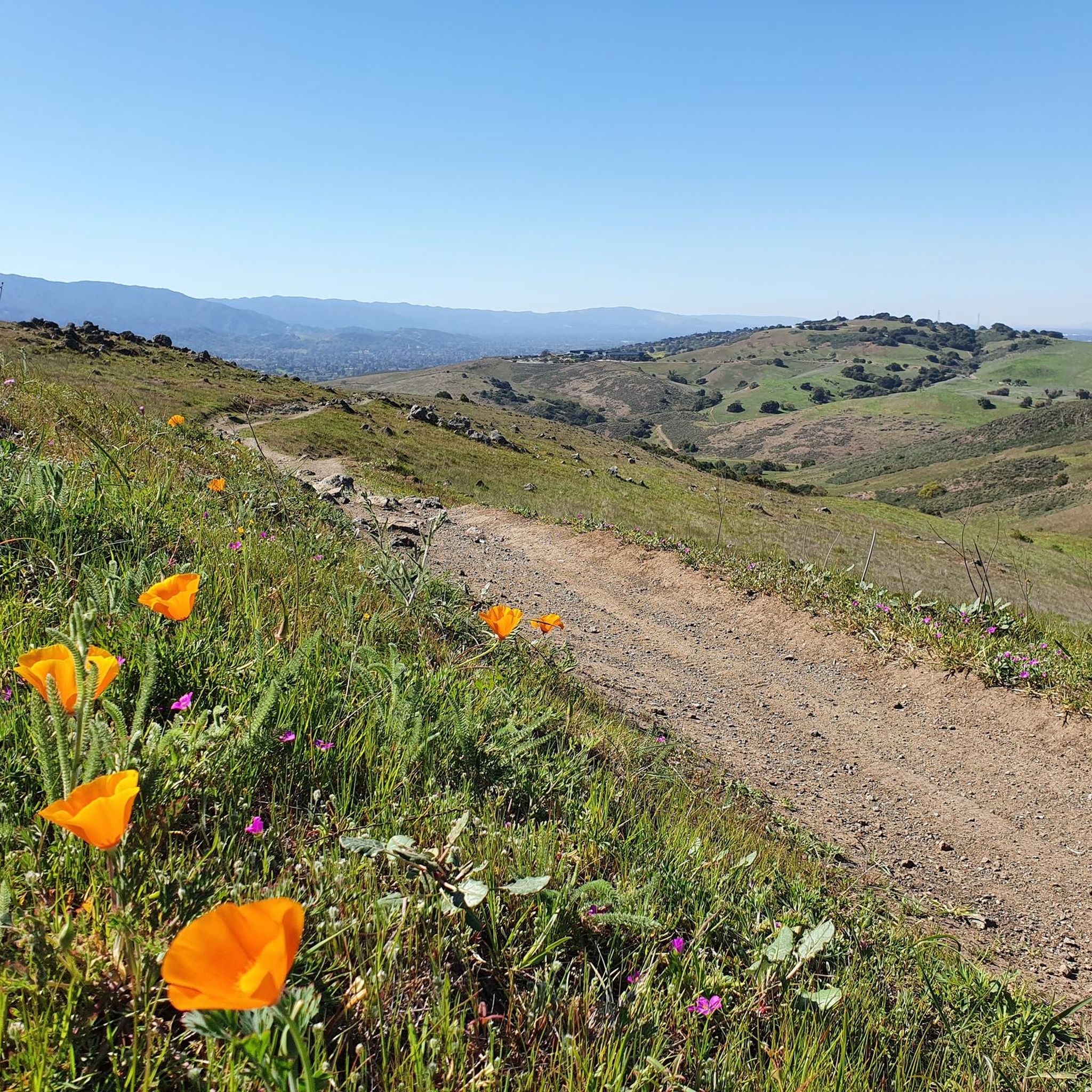
Running Trails in Rancho Canada Del Oro Open Space Preserve - Restricted Area
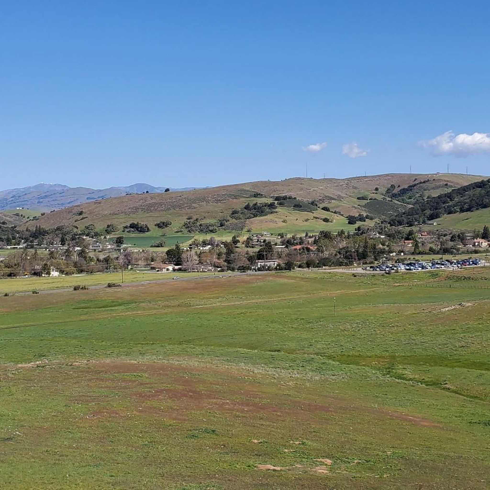
MTB Trails in Rancho Canada Del Oro Open Space Preserve - Restricted Area

Road Cycling Routes in Rancho Canada Del Oro Open Space Preserve - Restricted Area
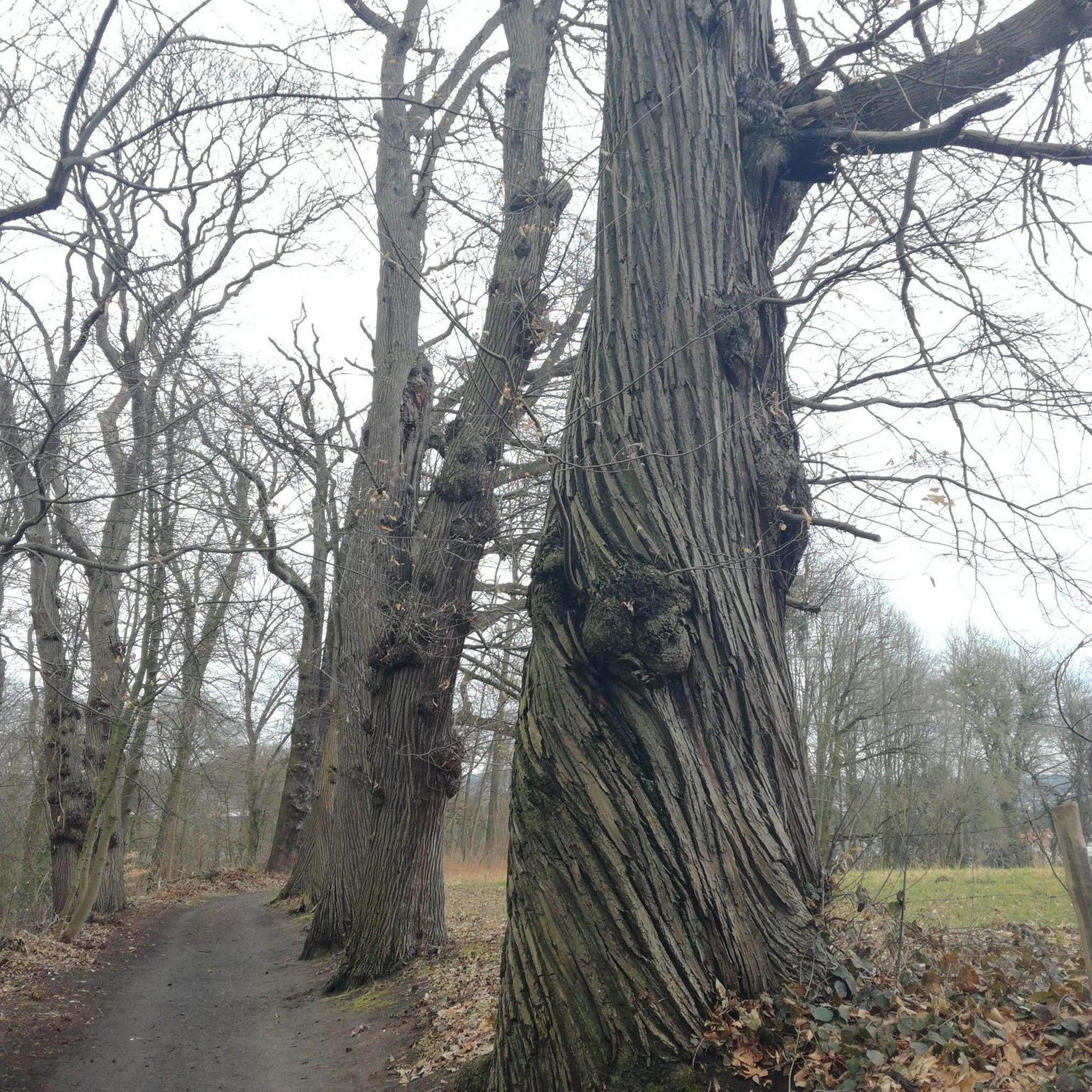
Gravel biking in Rancho Canada Del Oro Open Space Preserve - Restricted Area
Tips from the Community


Calero County Park is 4,471 acres with a diverse topography. The main feature is Calero Reservoir, which doesn't allow swimming, but you can wade. Calero Reservoir is interestingly the only body of water in Santa Clara County Parks that allows for boating year round.
0
0

The Oak Cove Trail in Calero County Park is a 5.6-mile out-and-back trail open for mountain biking, hiking, and trail running. The trail offers a mix of flat sections and gentle hills, making it accessible for beginners and families. Riders can enjoy scenic views of the reservoir and surrounding landscapes. The trail connects with the Lisa Killough Trail, allowing for extended rides within the park. While the path is mostly flat, there are a few small hills that may require less experienced riders or kids to dismount. The first hill at the beginning (and the last hill on the return) is probably the most challenging.
0
0
Calero County Park 4,400 acres park that features Calero Reservoir, a huge lake on the northern side of the park. This is the main entrance to the park with a big parking area, a visitor center, restrooms, picnic tables, and access to the Oak Cove Trail.
0
0

Bald Peak provides great views of Santa Clara Valley, the Diablo Range, and the Santa Cruz Mountains. Hikers and mountain bikers can access the peak via trails like Hidden Springs and Coyote Peak, which offer moderate to steep climbs. Early mornings or late afternoons are best for enjoying cooler temperatures in hot summer months. The trails are well-maintained and scenic.
0
0

Nice gravel trail that winds its way through the park. Some sections follow long the water giving you some great views.
0
0
Frequently Asked Questions
What are the general characteristics of touring cycling routes in Rancho Cañada del Oro Open Space Preserve?
The preserve offers a diverse touring cycling experience with routes winding through mixed oak woodlands, grasslands, and along two creeks. You'll find a mix of paved and unpaved segments, catering to various skill levels. Many routes feature significant elevation gains, providing rewarding climbs and descents with sweeping views of the valley floor and the Diablo Range.
What are the difficulty levels for touring cycling routes in the preserve?
The routes in Rancho Cañada del Oro Open Space Preserve cater to different abilities. Out of 18 available routes, there are 3 easy, 10 moderate, and 5 difficult options. For a challenging ride with substantial elevation, consider the Bald Peaks Viewpoint loop, which features over 770 meters of ascent.
Are there any family-friendly touring cycling routes in the preserve?
While the preserve has multi-use trails, some routes involve unpaved and challenging segments. For a potentially easier option, the Region Research mentions accessible trails like the Llagas Creek Loop Trail, which is paved. When planning a family outing, look for routes designated as 'easy' on komoot, such as the Bald Peaks Loop, which is a moderate route but offers a good introduction to the preserve's terrain.
What is the best time of year to go touring cycling in Rancho Cañada del Oro Open Space Preserve?
Spring is particularly beautiful for touring cycling in the preserve, as the meadows and hillsides are adorned with an abundance of wildflowers. The diverse environment of mixed oak woodlands and grasslands provides picturesque scenery year-round, but spring offers vibrant colors. Be mindful of summer heat and potential trail conditions during wet winter months.
Where can I park at Rancho Cañada del Oro Open Space Preserve?
The preserve provides parking facilities for both cars and horse trailers. These amenities make it convenient for visitors to access the trails and begin their touring cycling adventures.
What amenities are available at the preserve for cyclists?
Along the trails, you can find picnic tables for rest stops. The preserve also offers accessible restrooms and designated parking areas for vehicles and horse trailers, ensuring a comfortable visit for cyclists.
Are there any circular touring cycling routes in the preserve?
Yes, many routes in the preserve are designed as loops, allowing you to start and end at the same point. For example, the popular Bald Peaks Loop is an 8-mile route offering panoramic views. Another option is the Longwall Canyon Trail loop, a shorter 4.3-mile ride through varied terrain.
What kind of wildlife might I encounter while cycling?
The preserve is home to a variety of wildlife. You might spot deer, bobcats, and foxes. Mountain lions are also present in the area. Raptors like golden eagles nest in the region, and wintering bald eagles are occasionally sighted. Remember to observe wildlife from a distance and stay on designated trails to protect their habitat.
Are dogs allowed on the touring cycling routes in Rancho Cañada del Oro Open Space Preserve?
No, pets are not allowed anywhere in Rancho Cañada del Oro Open Space Preserve. This restriction is in place due to the sensitivity of the habitat and to protect the diverse wildlife within the preserve.
What do other touring cyclists enjoy most about touring cycling in Rancho Cañada del Oro Open Space Preserve?
The area is highly rated by the komoot community, with an average score of 4.7 stars from over 10 reviews. Cyclists often praise the diverse landscapes, rewarding climbs, and sweeping valley views. The variety of terrain, from mixed oak woodlands to grasslands, and the presence of creeks, contribute to a picturesque and engaging cycling experience.
Are there any restrictions or specific rules for cyclists in the preserve?
Yes, cyclists must stay on designated multi-use trails to protect the natural environment and wildlife. While the preserve connects to Calero County Park, bicyclists are explicitly prohibited in certain sections of Calero County Park. E-bikes with pedal assist are permitted on trails to enhance recreational opportunities.
Can I find routes that connect to other areas?
The preserve connects to Calero County Park, offering extended cycling possibilities. However, it's important to note that certain sections within Calero County Park are explicitly closed to bicyclists. A route like Chesbro Reservoir – Chesbro Reservoir County Park loop provides a longer ride that incorporates natural surroundings, though it's crucial to respect all park regulations.
Are there any scenic viewpoints along the touring cycling routes?
Yes, from elevated points like the peak of Longwall Canyon Trail, you can enjoy sweeping views of the valley floor, the Diablo Range, and surrounding ridges. The Bald Peaks Viewpoint loop is specifically named for its scenic vistas, offering rewarding climbs to panoramic spots.
Most popular routes in Rancho Canada Del Oro Open Space Preserve - Restricted Area

Get inspired with the komoot mobile app


Explore more
Browse the best Cycling routes in other regions.
