Rancho Canada Del Oro Open Space Preserve - Restricted Area
Rancho Canada Del Oro Open Space Preserve - Restricted Area
The best road cycling routes in Rancho Canada Del Oro Open Space Preserve - Restricted Area
4.0
(15)
1,026
riders
13
rides
Road cycling in Rancho Canada Del Oro Open Space Preserve - Restricted Area offers routes through a landscape characterized by rolling hills, open grasslands, and views of local reservoirs. The preserve features varied terrain, from gentle valley paths to more challenging climbs, typical of the Santa Clara County region. Road cyclists can expect a mix of paved roads winding through natural open spaces and alongside water bodies. The area provides a diverse environment for road cycling, with routes that traverse…
Last updated: September 1, 2026
51
riders
Moderate road ride. Good fitness required. Mostly well-paved surfaces and easy to ride.
19
riders
Easy road ride. Great for any fitness level. Mostly well-paved surfaces and easy to ride.

Sign up for free
11
riders
Easy road ride. Great for any fitness level. Mostly well-paved surfaces and easy to ride.
5
riders
Moderate road ride. Good fitness required. Some segments of this route may be unpaved and difficult to ride.
3.8
(4)
80
riders
63.9km
02:53
630m
630m
Moderate road ride. Good fitness required. Some segments of this route may be unpaved and difficult to ride.
Get access to more routes and recommendations from other explorers.
Sign up for free
Already have an account?
Our route recommendations are based on thousands of hikes, rides, and runs completed by other people on komoot.
Start today with a free account
Your next adventure awaits.
Login or Signup
Popular around Rancho Canada Del Oro Open Space Preserve - Restricted Area

Hiking in Rancho Canada Del Oro Open Space Preserve - Restricted Area
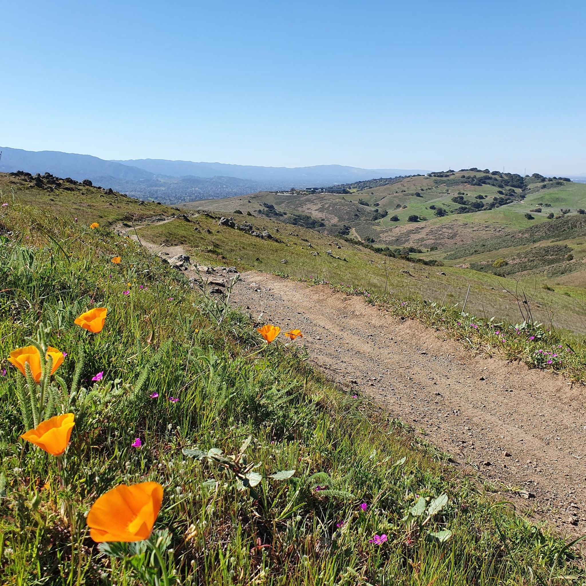
Running Trails in Rancho Canada Del Oro Open Space Preserve - Restricted Area
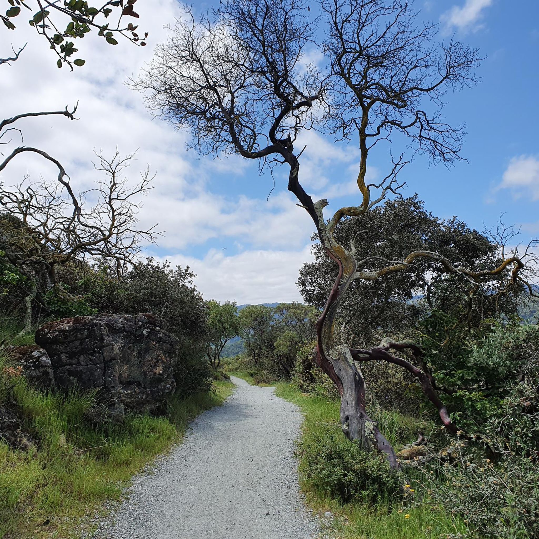
Cycling in Rancho Canada Del Oro Open Space Preserve - Restricted Area
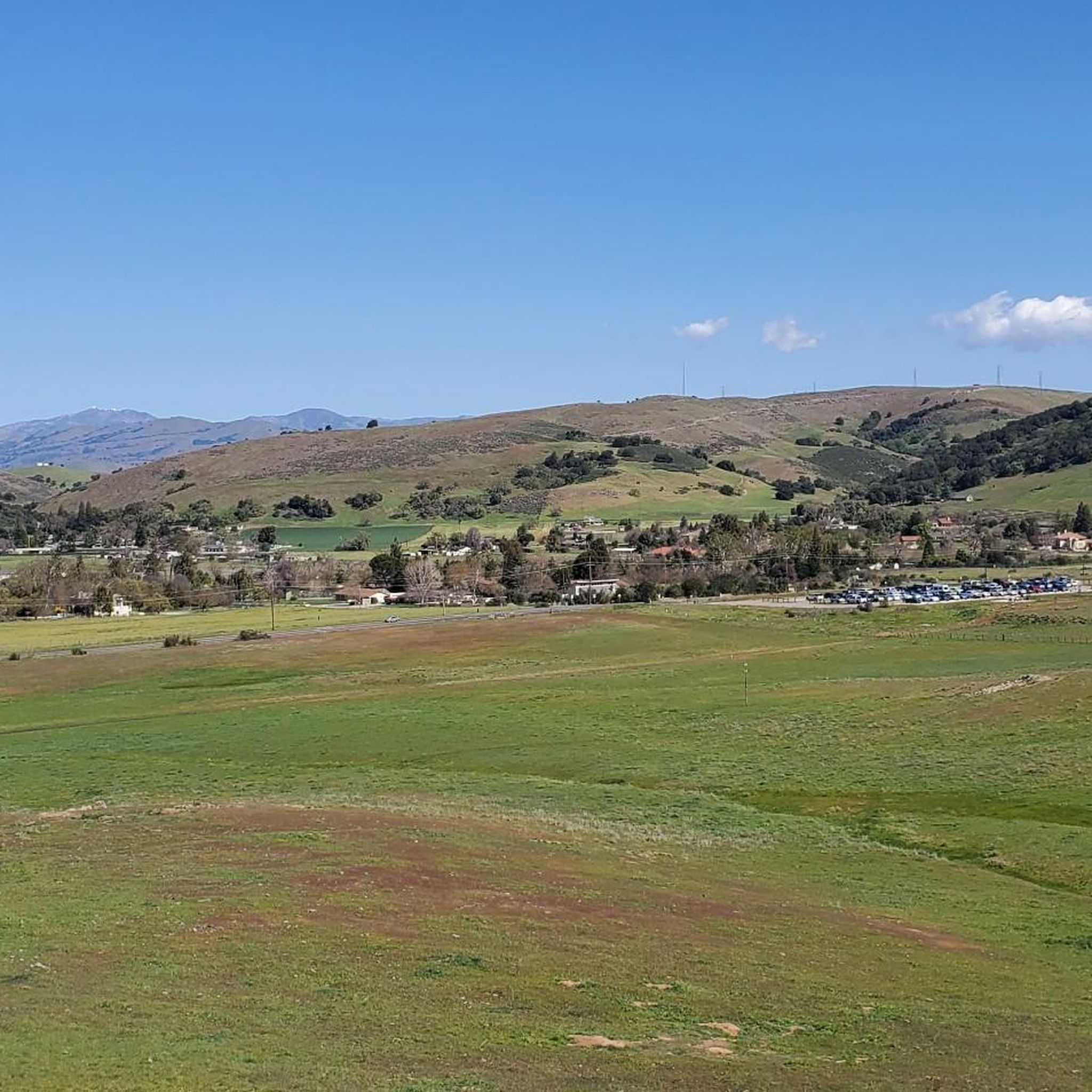
MTB Trails in Rancho Canada Del Oro Open Space Preserve - Restricted Area
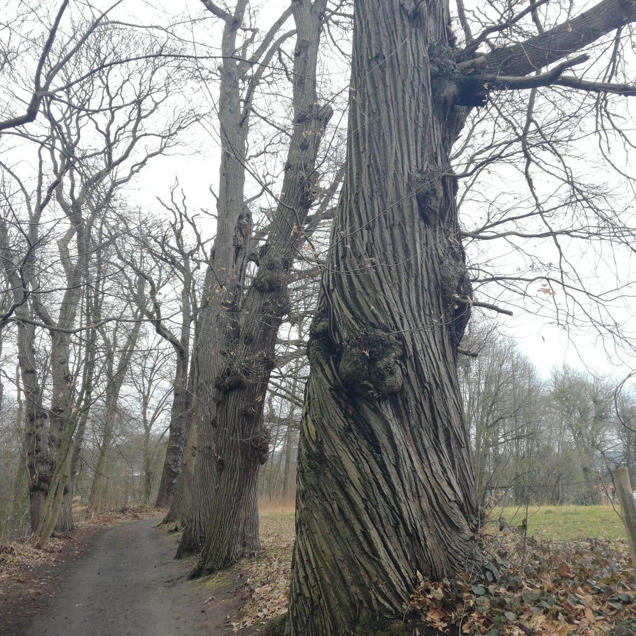
Gravel biking in Rancho Canada Del Oro Open Space Preserve - Restricted Area
Tips from the Community

Here, you can buy fresh fruit, including prunes, pears, apricots, and cherries, depending on the season.
0
0
Here is the entrance to Uvas Canyon County Park. The park has several small falls surrounded by forest, walking less than a mile in, you’ll find a waterfall. Here you can find water fountains, restrooms and a campground. This is the perfect place to end or start your ride.
0
0

The Coyote Creek Trail, also called the Bay Area Ridge Trail, is a stunningly paved multi-use path that slowly transitions to gravel. The trail winds in between a number of ponds and has a little more shade at the turnaround loop.
0
0
Bailey Road is a nice gradual uphill section of tarmac with a dirt shoulder. This spot would be great for some intervals on the hill and you can enjoy some nice views at the top. On the sharp hairpin, there are some dirt trails you could tie in to extend your run.
0
0
This is a beautiful spot just north of Morgan Hill. In the east you have farms and flat country roads, and in the west there is more mountainous open space preserves.
0
0
There is a cool bridge here located in a little canyon. This point is just about where Anderson Lake flows into Coyote Creek.
0
0
Rancho San Vicente Open Space Trailhead is a nice place to take a break on a run and use the restroom or enjoy the views of nature. There are plenty of trails that you could extend your run onto in the area with most of them being well marked and pretty smooth.
0
0
This is a great spot to stop along Coyote Creek to sit under the large oak trees and enjoy the sounds of the flowing water. There are picnic tables, a bridge, and plenty of grass area to play.
0
0
Frequently Asked Questions
How many road cycling routes are available in Rancho Canada Del Oro Open Space Preserve - Restricted Area?
There are over 10 road cycling routes documented in Rancho Canada Del Oro Open Space Preserve - Restricted Area, offering a variety of experiences for different skill levels.
What is the typical difficulty level of road cycling routes in the preserve?
The preserve offers a range of difficulties. You'll find 3 easy routes, 7 moderate routes, and 3 difficult routes, catering to both casual riders and experienced cyclists seeking a challenge.
Are there routes suitable for beginner road cyclists?
Yes, there are several easy routes perfect for beginners. For example, the Coyote Pond – Coyote Ranch loop from Hale Avenue & San Bruno Avenue is an easy 14.1-mile (22.8 km) trail that can be completed in under an hour.
Are there challenging road cycling routes for experienced riders?
Absolutely. Experienced riders can tackle routes like the Calero Reservoir – Old Santa Cruz Highway loop from Rancho Cañada del Oro Open Space Preserve Entrance, which is a difficult 102.5-mile (165.0 km) path featuring significant elevation gain.
What are the typical distances of road cycling routes in Rancho Canada Del Oro Open Space Preserve?
Route distances vary significantly, from shorter loops around 14 miles (22 km) to extensive rides over 100 miles (160 km), allowing cyclists to choose based on their endurance and time availability.
Are there circular road cycling routes available?
Yes, many routes in the preserve are designed as loops. Examples include the popular Calero Reservoir – View of Chesbro Reservoir loop from Rancho Cañada del Oro Open Space Preserve Entrance and the Calero County Park to Uvas Canyon County Park loop.
What is the best time of year for road cycling in this area?
The Santa Clara County region generally offers pleasant cycling conditions for much of the year. Spring and fall often provide mild temperatures and clear skies, making them ideal. Summers can be warm, especially inland, while winters are typically mild but may bring occasional rain.
Are road bikes permitted throughout the preserve?
Road bikes are generally permitted on designated paved roads and multi-use trails within the preserve. It's always advisable to check specific signage at trailheads for any restrictions on certain paths.
Where can I park when road cycling in Rancho Canada Del Oro Open Space Preserve?
Parking is typically available at the main entrances to the preserve. For routes starting from the Rancho Cañada del Oro Open Space Preserve Entrance, you'll find designated parking areas. Always check local signage for specific parking regulations and availability.
Are there scenic viewpoints along the road cycling routes?
Yes, many routes offer scenic viewpoints. The preserve is known for its rolling hills, open grasslands, and views of local reservoirs like Calero and Chesbro. The Calero Reservoir – View of Chesbro Reservoir loop, for instance, provides extensive reservoir vistas.
What do other road cyclists enjoy the most about road cycling in Rancho Canada Del Oro Open Space Preserve - Restricted Area?
The area is highly rated by the komoot community, with an average score of 4.1 stars from more than 10 reviews. Reviewers often praise the diverse terrain, from gentle valley paths to challenging climbs, and the beautiful open grasslands and reservoir views that define the region.
Most popular routes in Rancho Canada Del Oro Open Space Preserve - Restricted Area

Get inspired with the komoot mobile app


Explore more
Browse the best Road cycling routes in other regions.
