The best road cycling routes in Alto Bowl Open Space Preserve
4.4
(223)
9,614
riders
89
rides
Road cycling in Alto Bowl Open Space Preserve offers varied terrain across rolling hills, oak woodlands, and open grasslands. The preserve features paved paths and multi-use fire roads, providing access to a network of routes suitable for road cycling. It connects to broader cycling networks like the Mill Valley Sausalito Multiuse Path, allowing for extended rides. The area is characterized by moderate elevation changes and scenic landscapes.
Best road cycling routes in Alto Bowl Open Space Preserve
- The most popular…
Last updated: July 10, 2026
5.0
(2)
128
riders
31.0km
01:52
710m
710m
The Pan Toll Road via Panoramic Highway offers a challenging road cycling experience that rewards grit with incredible scenery. You'll climb through dense redwood forests, eventually breaking out to panoramic…
4.7
(3)
98
riders
40.3km
02:25
690m
690m
Embark on the Muir Road & Marin Coastal Bikeway loop, a moderate road cycling adventure spanning 25.1 miles (40.3 km). You will conquer 2258 feet (688 metres) of elevation gain,…

Sign up for free
86
riders
67.1km
03:12
700m
700m
Embark on the Sir Francis Drake and Cross Marin Trail Loop, a moderate road cycling adventure spanning 41.7 miles (67.1 km) with a total elevation gain of 2311 feet (704…
5.0
(2)
61
riders
23.0km
01:04
210m
220m
Easy road ride. Great for any fitness level. Mostly well-paved surfaces and easy to ride.
12
riders
30.0km
01:24
250m
250m
Easy road ride. Great for any fitness level. Mostly well-paved surfaces and easy to ride.
Get access to more routes and recommendations from other explorers.
Sign up for free
Already have an account?
Our route recommendations are based on thousands of hikes, rides, and runs completed by other people on komoot.
Start today with a free account
Your next adventure awaits.
Login or Signup
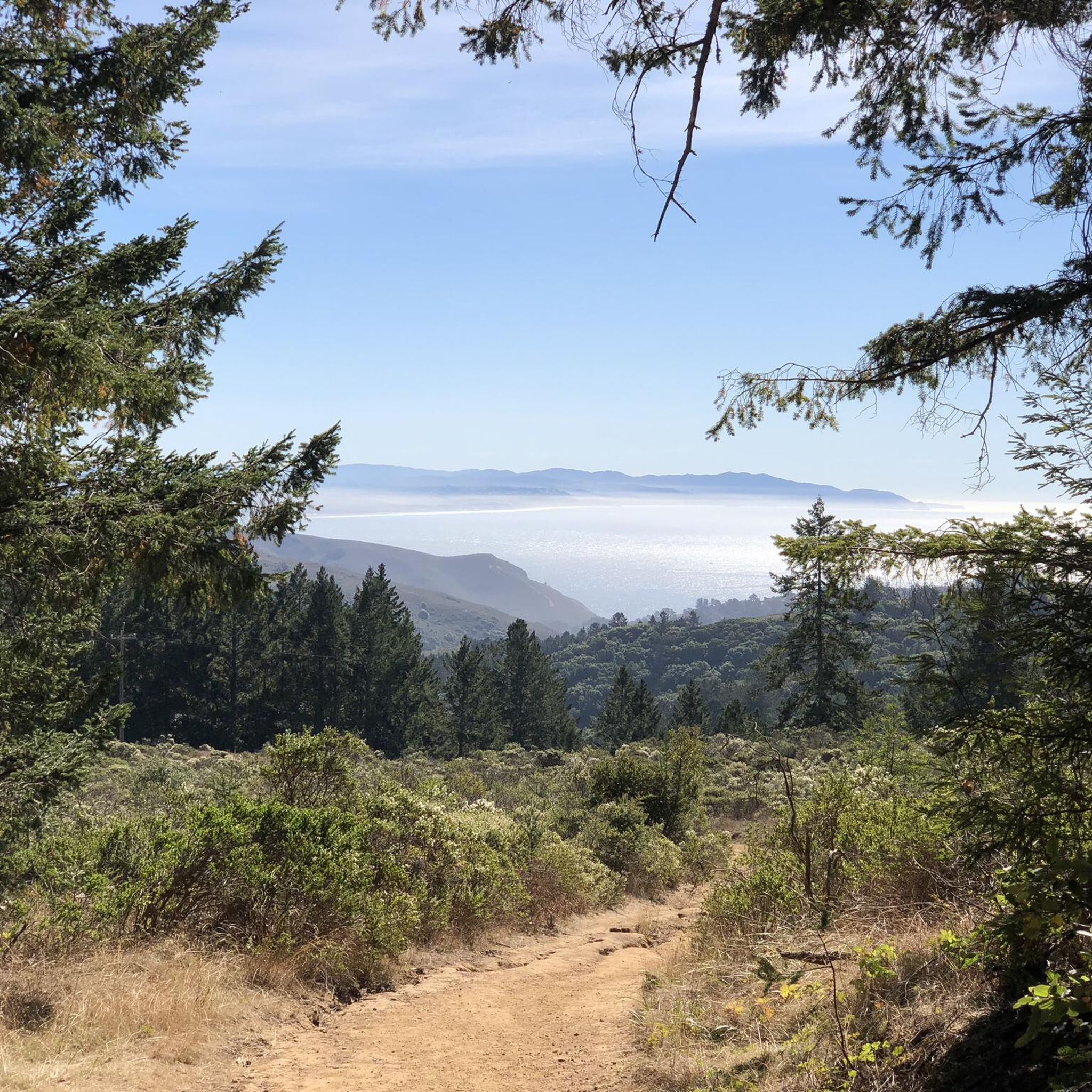
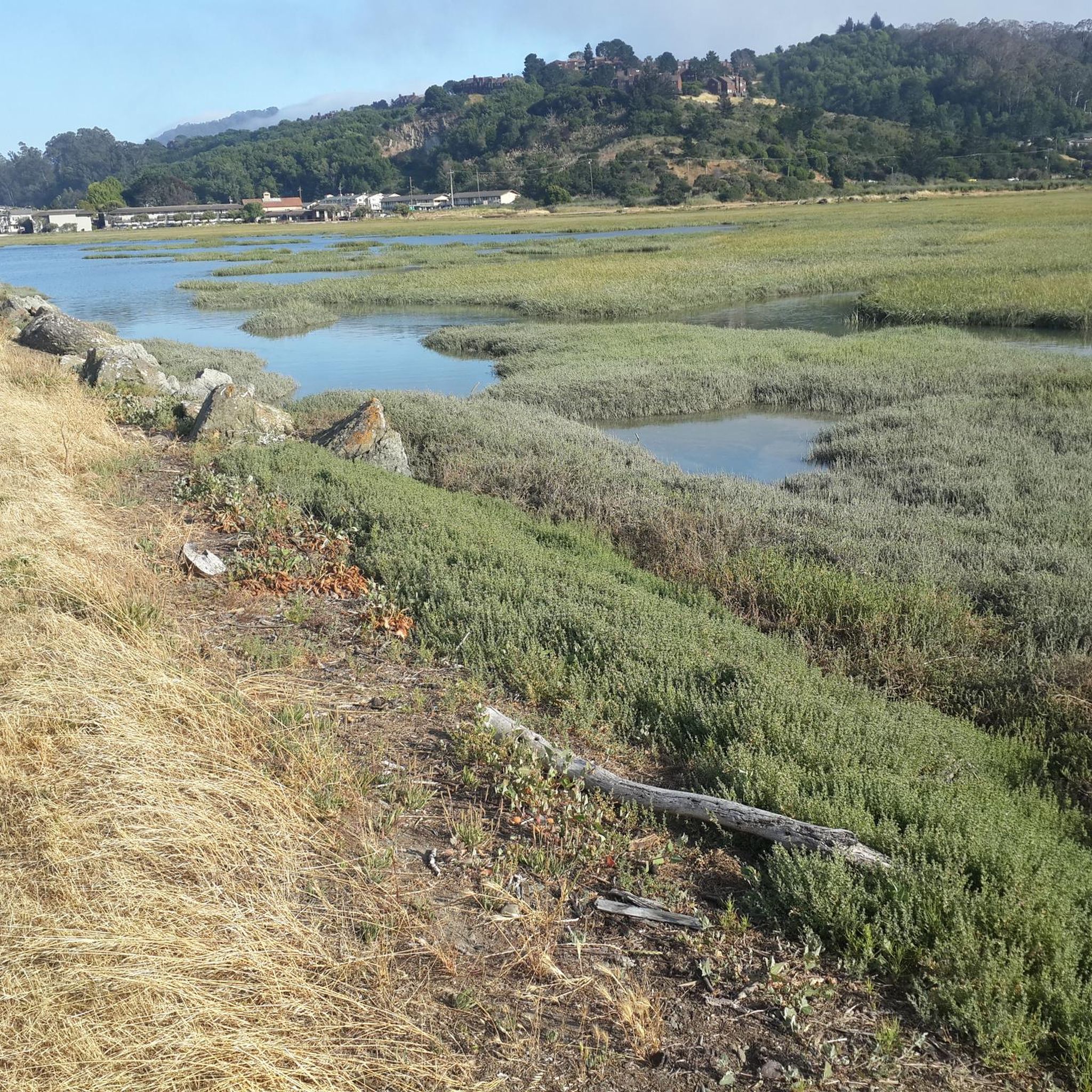
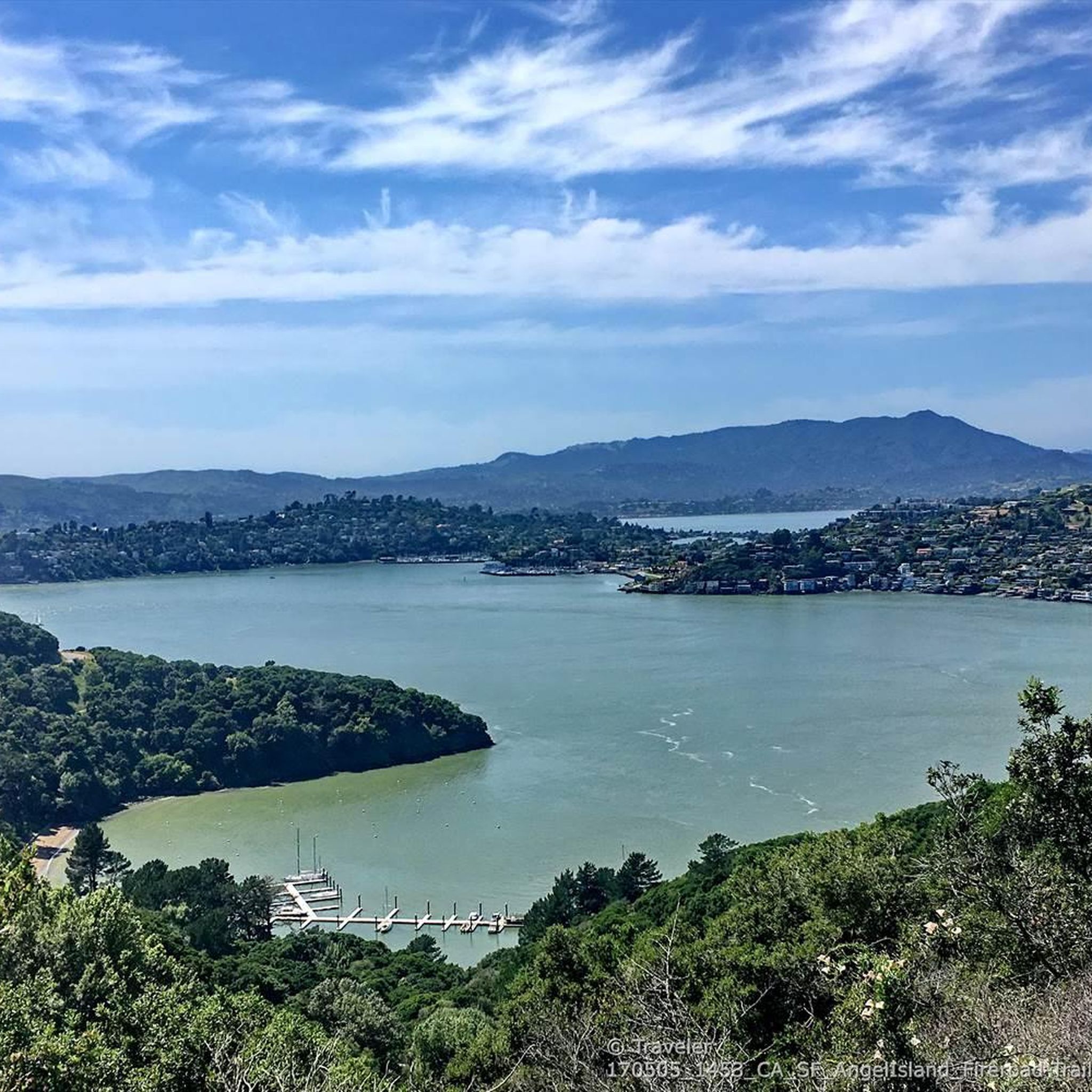
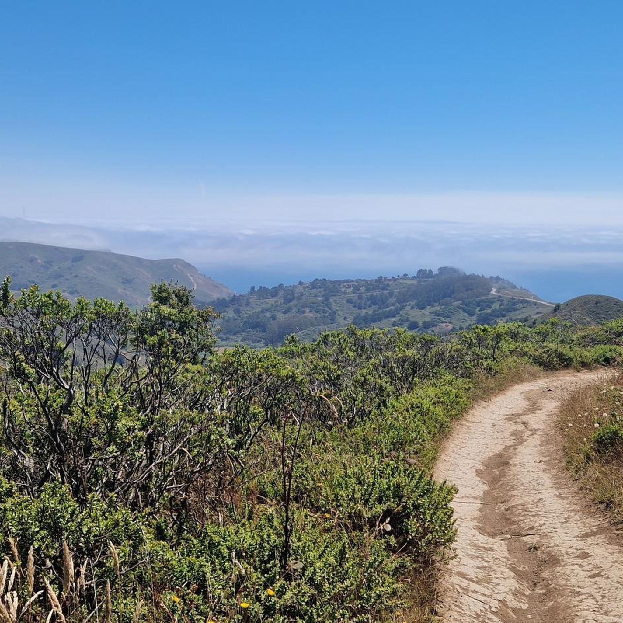
Tips from the Community


The Sausalito Bike Path runs through Mill Valley. It's a paved route with great views of the wetlands on the old Northwest-Pacific rail line, which operated from 1884 until its closure in 1971. The path ends near Mike’s Bikes in Marin City, where riders can continue along the busy Bridgeway into Sausalito or take quieter marina backroads.
2
0

The Pantoll Campground is a First-come/first-serve site in Mt. Tamalpais State Park. Each site has a barbeque grill, a fire ring, and a picnic table. You need to pay for the site at the Ranger Station as you enter the park.
1
0

Now open for more than a hundred years, this inn welcomes visitors high on the flanks of Mount Tamalpais. The guestrooms mostly face east, but the grounds include great vantages to the west over the Bay. There's also a restaurant, and this has been voted one of the most romantic spots in the Bay Area several times over.
0
0


Opening this bike tunnel through the renovated trail tunnel as part of the 2010 redeveloped rail connection from Larkspur Ferry to Santa Rosa closed a crucial gap in the bike commute to San Francisco.
0
0
This being the lowest point to cross the San Rafael ridge it's great the recent revamp of this bottleneck included improving the dedicated wide bike trail, paved and lighted with several tunnels and sound protection parallel to the widened Hwy 101 freeway and the partially tunnelled SMART railway.
1
0
Frequently Asked Questions
How many road cycling routes are available in Alto Bowl Open Space Preserve?
Alto Bowl Open Space Preserve offers a wide selection of road cycling routes, with nearly 90 different tours available. These routes cater to various skill levels, including easy, moderate, and challenging options.
What kind of terrain can I expect when road cycling in Alto Bowl Open Space Preserve?
The preserve is characterized by rolling hills, oak woodlands, and open grasslands. You'll find a mix of paved paths and multi-use fire roads. While there are moderate elevation changes, the dedicated paved bike paths on the east and west sides, linked by Lomita Drive, are generally not too steep and offer enjoyable views.
Are there road cycling routes suitable for beginners in Alto Bowl Open Space Preserve?
Yes, Alto Bowl Open Space Preserve has several routes suitable for beginners. Approximately 39 of the available routes are classified as easy. An example of an easy route is the Camino Alto Road – Sausalito Path loop from Corte Madera, which offers a manageable distance and elevation gain.
What natural features and viewpoints can I see along the road cycling routes?
Road cycling routes in the preserve offer diverse scenery. You can enjoy panoramic views of Mount Tamalpais, Tiburon Ridge, and the San Francisco skyline on clear days. The area also features the beloved local landmark Horse Hill, where horses graze in pastures, and groves of eucalyptus, California bays, and coast live oaks.
Is there wildlife to observe while cycling in Alto Bowl Open Space Preserve?
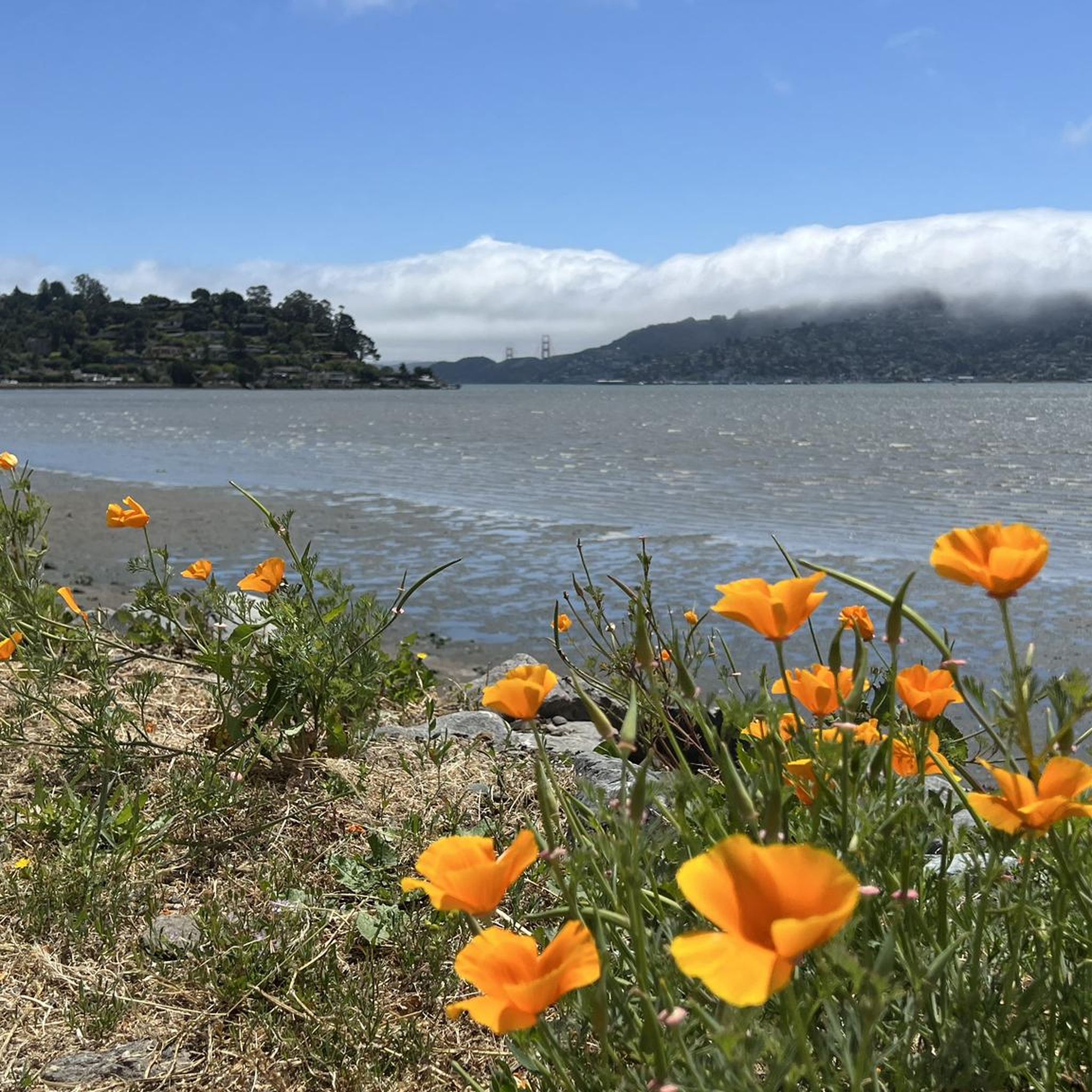
Yes, the preserve is home to a variety of wildlife. Cyclists might spot American kestrels, red-tailed hawks, northern harriers, foxes, raccoons, deer, coyotes, and even bobcats. In spring, the landscape is vibrant with wildflowers like California poppy, blue-eyed grass, and lupine.
Are there circular road cycling routes in Alto Bowl Open Space Preserve?
Many of the road cycling routes in Alto Bowl Open Space Preserve are designed as loops, allowing you to start and end at the same point. A popular moderate loop is the Muir Road & Marin Coastal Bikeway loop, which features coastal scenery and dedicated bikeway sections.
What is the best time of year to go road cycling in Alto Bowl Open Space Preserve?
While road cycling is enjoyable year-round, spring is particularly beautiful due to the abundance of wildflowers. Clear days offer the best panoramic views of the surrounding bay and skyline. Always check local weather conditions before heading out.
Where can I park when visiting Alto Bowl Open Space Preserve for road cycling?
Specific parking areas are available for visitors accessing Alto Bowl Open Space Preserve. It's advisable to check the official preserve website or local maps for designated parking lots near trailheads or access points, especially those connecting to the paved bike paths.
Can families enjoy road cycling together in Alto Bowl Open Space Preserve?
Yes, the preserve offers options suitable for families. The paved bike paths on the east and west sides, linked by Lomita Drive, are noted for not being too steep, making them a good choice for family rides. These paths provide enjoyable views in a relatively gentle setting.
What do other road cyclists enjoy most about the routes in Alto Bowl Open Space Preserve?
The road cycling routes in Alto Bowl Open Space Preserve are highly rated by the komoot community, with an average score of 4.7 stars from over 150 reviews. Cyclists often praise the varied terrain, the expansive views of Mount Tamalpais and the San Francisco skyline, and the connections to broader networks like the Mill Valley Sausalito Multiuse Path for extended rides.
Are there longer, more challenging road cycling routes for experienced riders?
Yes, for experienced riders seeking a challenge, there are more demanding routes available. For instance, the Sir Francis Drake and Cross Marin Trail Loop is a substantial 41.7-mile route leading through varied terrain, often completed in about 3 hours 11 minutes, offering a significant workout.
Do the road cycling routes connect to other popular cycling paths?
Yes, a significant advantage of cycling in Alto Bowl Open Space Preserve is its connectivity. The preserve provides access to the Mill Valley Sausalito Multiuse Path (MUP) via a connector trail, allowing road cyclists to extend their rides onto this paved route. It also connects to Camino Alto and Horse Hill preserves.
Most popular routes in Alto Bowl Open Space Preserve

Get inspired with the komoot mobile app


Explore more
Browse the best Road cycling routes in other regions.
