The best road cycling routes around Ihrlerstein
4.4
(577)
12,094
riders
23
rides
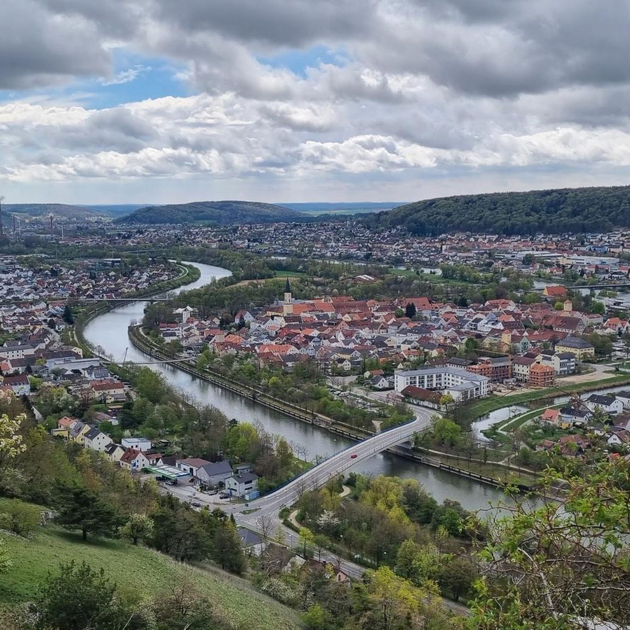
Road cycling routes around Ihrlerstein traverse a region characterized by varied topography, including river valleys and rolling hills. The landscape features a mix of agricultural land, dense woodlands, and historical towns. Road cyclists can expect routes that navigate through this diverse terrain, offering both open stretches and sections with moderate elevation changes. The area provides a network of roads suitable for different cycling preferences.
Best road cycling routes around Ihrlerstein
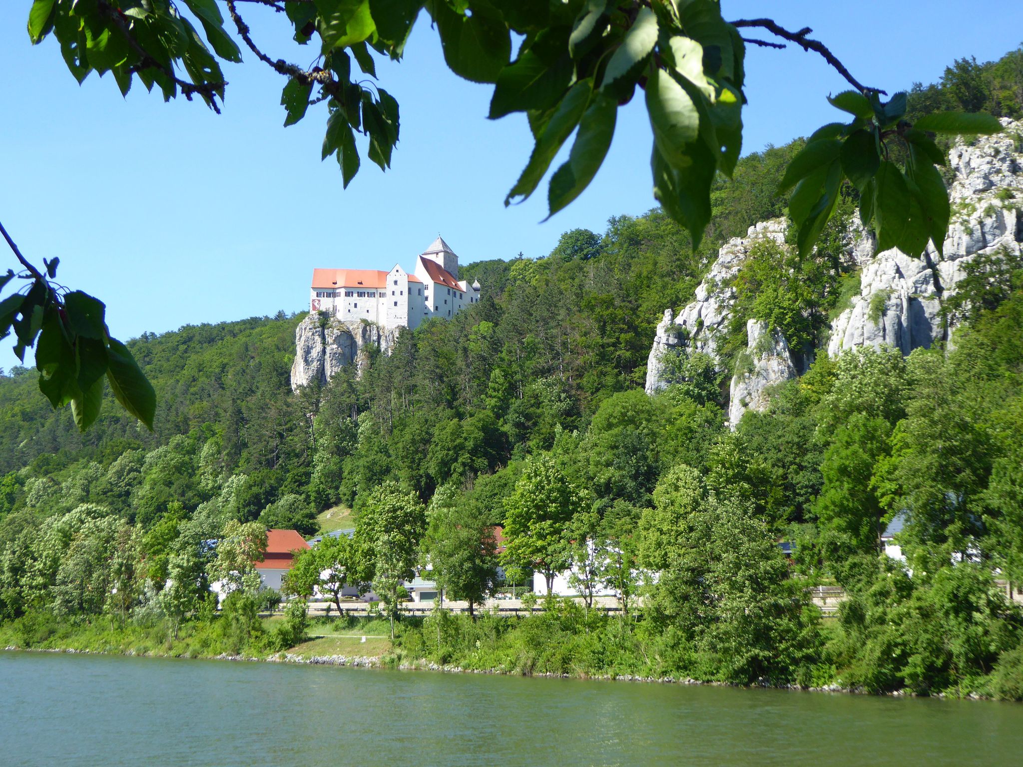
- The most popular road cycling route is View of Prunn…
Last updated: October 9, 2026
4.6
(18)
265
riders
52.0km
02:23
550m
550m
Moderate road ride. Good fitness required. Mostly well-paved surfaces and easy to ride.
5.0
(5)
94
riders
61.2km
02:52
740m
740m
Moderate road ride. Good fitness required. Mostly well-paved surfaces and easy to ride.

5.0
(7)
62
riders
Moderate road ride. Good fitness required. Mostly well-paved surfaces and easy to ride.
20
riders
55.9km
02:32
550m
550m
Moderate road ride. Good fitness required. Mostly well-paved surfaces and easy to ride.
1.0
(1)
28
riders
25.5km
01:18
400m
400m
Moderate road ride. Good fitness required. Mostly well-paved surfaces and easy to ride.
Get access to more routes and recommendations from other explorers.
Already have an account?
Our route recommendations are based on thousands of hikes, rides, and runs completed by other people on komoot.
Start today with a free account
Your next adventure awaits.
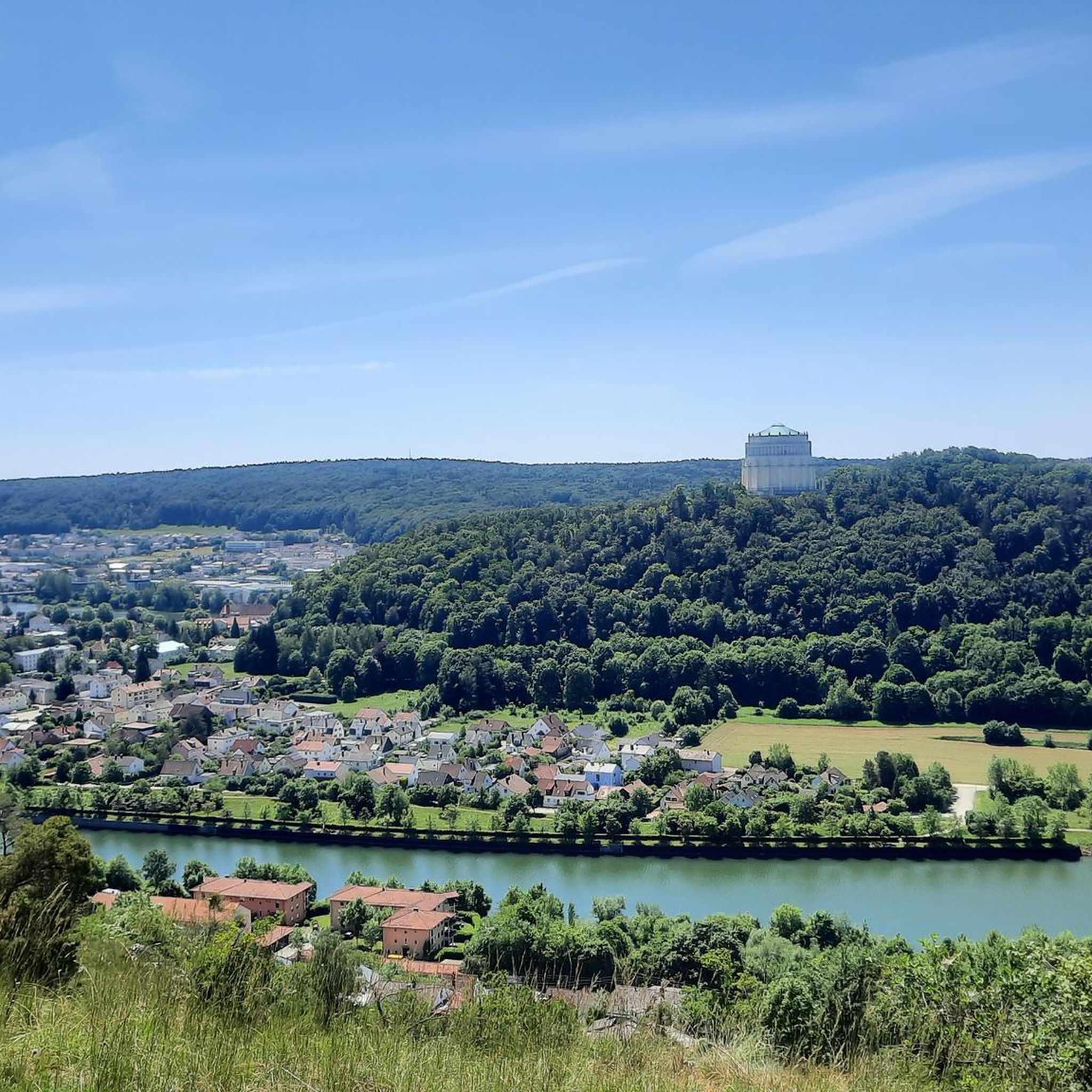
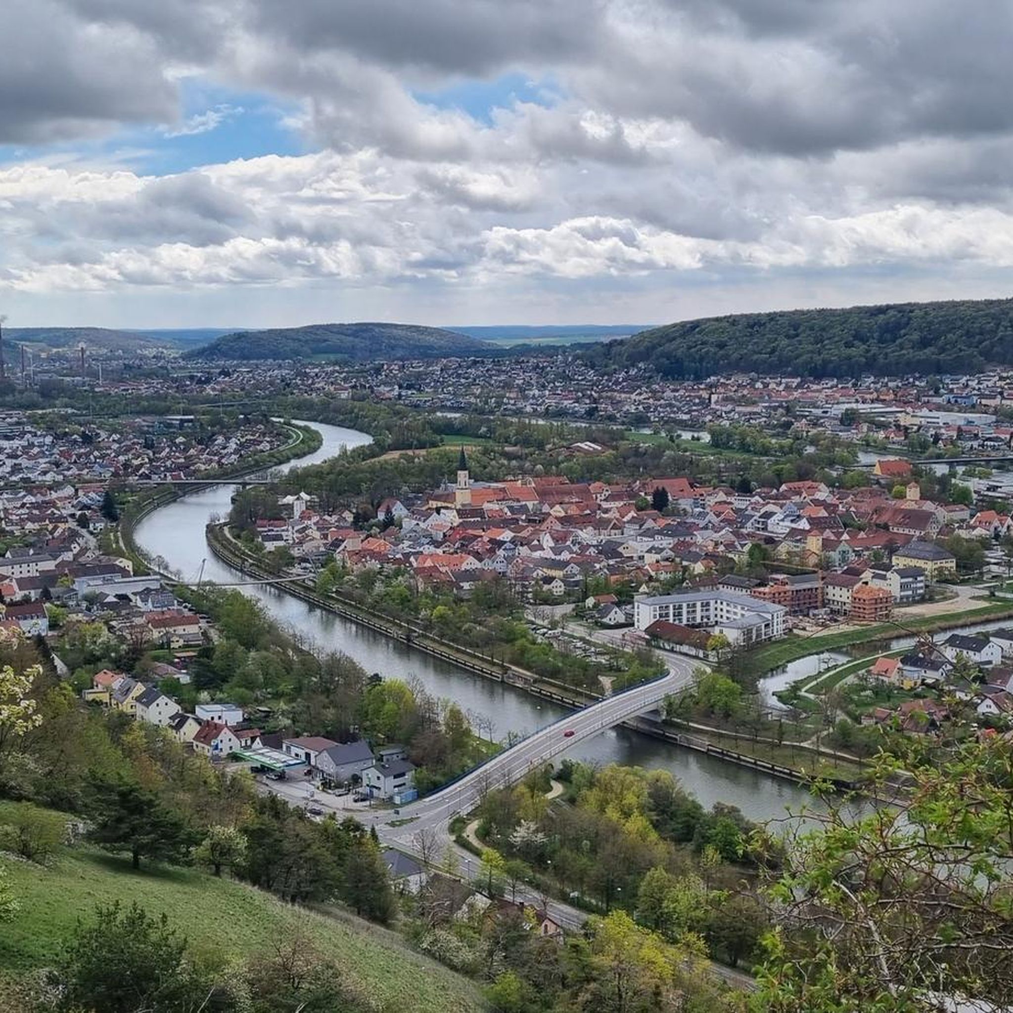

Other adventures around Ihrlerstein

Tips from the Community

Essing is a small, nice market town. You can well imagine what it looked like before the big canal was built.
0
0

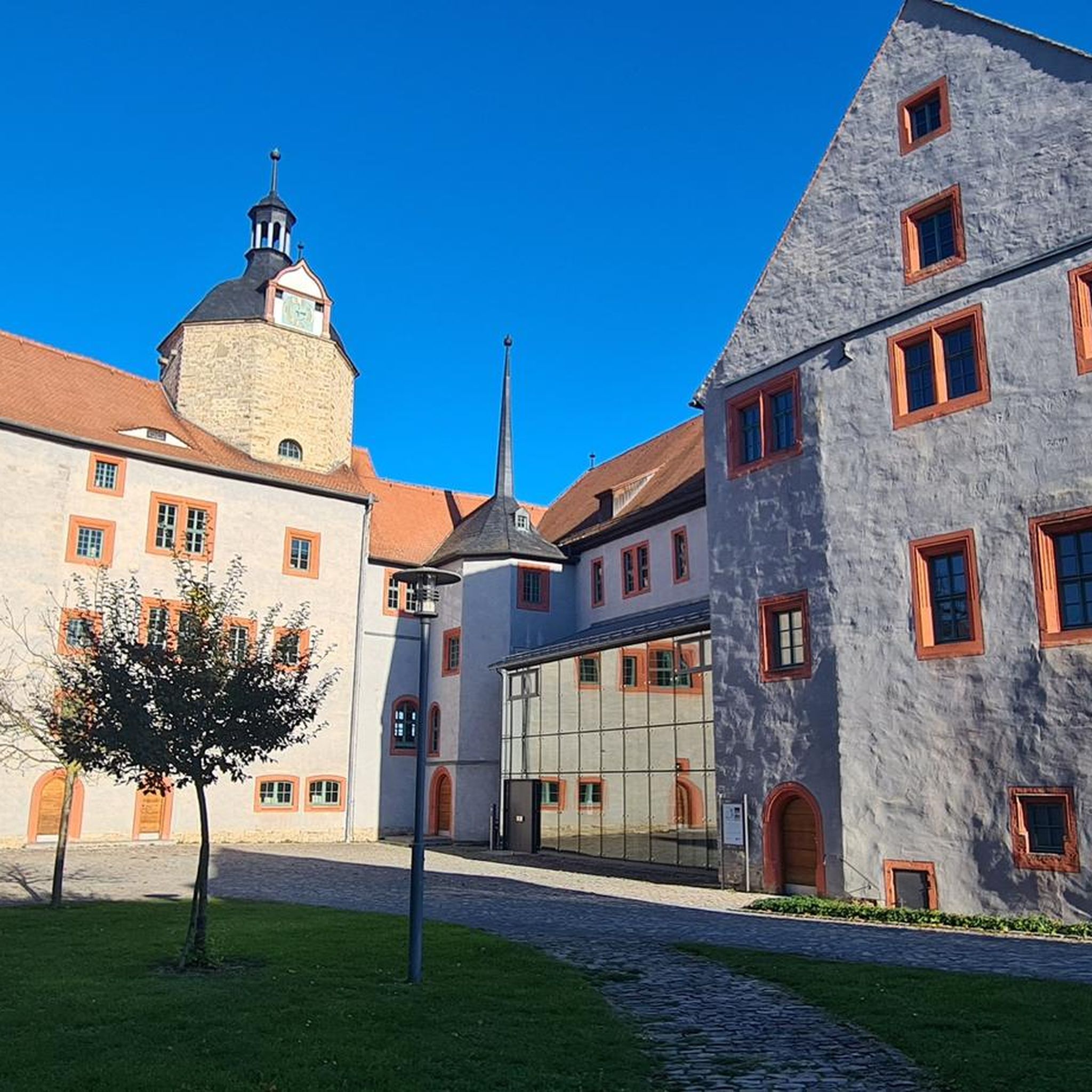
Hexenagger Castle A Dietricus von Haecsenakker is mentioned as early as 928 in a Regensburg document from the St. Emmeram Monastery; further information is scarce. In 1311, Gottfried Hexenacker became Bishop of Freising. He had studied in Bologna and served as dean of the cathedral there for many years. In 1314, he died of an infectious disease while on a tour of inspection in Vienna. In 1485, the castle passed through marriage to the Counts of Helfenstein, who sold the fortress to Duke William of Bavaria in 1528. He gave Hexenagger to the Muggenthal family as a fief. When the castle was destroyed in the Thirty Years' War, the Muggenthal family rebuilt it as a castle. In 1724, the castle was sold to the Bavarian Elector Charles Albert, as the Hexenagger line of the Muggenthal family had died out. In 1731, Elector Karl Albrecht donated the castle to his mistress, Maria Josepha Countess von Morawitzky. Her husband received the castle in 1738, and when he died in 1754, Anton von Kaiserstein became the new owner. Franz Joseph III von Kaiserstein (1792–1893) sold the castle in 1830 and acquired an estate in Sooß (Lower Austria) in exchange. From 1830 to 1951, Hexenagger Castle belonged to the noble family of Weidenbach. Otto Edler von Weidenbach bequeathed it to his niece Ilse von Kalckreuth, who married Wilhelm Leichtfuß, whose son, Eberhard Leichtfuß, owns it today. Hexenagger is a castle between the Renaissance and Baroque periods, built on the foundations of the old castle. In the lower areas and at the corners, ashlars and bossed ashlars, up to several meters high, are still visible on the castle building. The stump of the keep, made of bossed ashlar, is also said to have been preserved, but is not visible from the outside. The defensive character of the complex is best appreciated from the rear, where parts of the curtain wall and wall towers have been preserved. The tall, narrow chapel also still hints at the castle in its form; particularly interesting is the slender, slightly leaning bell tower, which appears to still sit on the older foundations of the medieval chapel tower. The main building itself, with its stepped gable and beautiful garden, presents a romantic sight. The castle is privately owned and not open to the public; the popular Christmas market was relocated to the Wolfgangshof estate near Zirndorf in Middle Franconia in 2023 due to complaints from local residents. Source: www.Burgenseite.de / www.wikipedia.de
2
0


Beautiful little town. I always enjoy being there.
0
0

Riedenburg offers a great opening as you cycle down the serpentines near Prunn and head toward the Altmühl River. The castle overlooking the town and the Altmühl River are a great incentive to explore the area by bike.
3
0

The town of Dietfurt lies in the heart of Bavaria, nestled in the unspoiled landscapes of the Altmühl Valley Nature Park. Seven valleys, the Main-Danube Canal, the Altmühl River, and other waterways offer a wide range of recreational opportunities: hiking, biking,... After the tour, the hosts provide a warm welcome with Bavarian cuisine and a cozy atmosphere. Events like the Dietfurt Chinese Carnival are legendary.
2
0

With the impressive rock and Danube backdrop, it is really worth stopping here
0
0

Riedenburg is a very beautiful place
3
0
Frequently Asked Questions
How many road cycling routes are available around Ihrlerstein?
There are over 20 road cycling routes around Ihrlerstein, offering a variety of experiences for different skill levels. The komoot community has explored these routes over 400 times.
What is the typical difficulty level of road cycling routes in Ihrlerstein?
Most road cycling routes around Ihrlerstein are classified as moderate, with 21 moderate routes and 3 difficult routes. There are no easy routes listed, suggesting a generally engaging terrain with elevation changes.
Are there any challenging road bike climbs in the Ihrlerstein area?
Yes, for those seeking a challenge, there are 3 difficult road cycling routes around Ihrlerstein. These routes feature more significant elevation gains and technical sections, providing a demanding ride.
What kind of scenery can I expect on road cycling routes around Ihrlerstein?
The routes traverse a diverse landscape, including river valleys, rolling hills, agricultural land, and dense woodlands. You can expect scenic views, historical towns, and forested areas. For example, the View of Prunn Castle – Prunn Castle loop from Palmberg offers stunning castle vistas.
What are some notable landmarks or attractions along the road cycling routes?
Many routes pass by historical sites and natural attractions. You might encounter sights like Prunn Castle, the Essing Village and Cliffs, or the Altmühltor in Kelheim. The area also features interesting caves such as the Klösterl Hermitage and Cave Church, and picturesque lakes like St. Agatha bathing lake.
Are the road cycling routes around Ihrlerstein primarily loop trails?
Yes, many of the road cycling routes in this region are designed as loops, allowing you to start and finish at the same point. Examples include the Eichhofen Castle Brewery – Forsthaus Irlbrunn loop from Kelheim and the St. Anna Bridge – Prunn Castle photo spot loop from Ihrlerstein.
What is the typical length and duration of road cycling routes in Ihrlerstein?
Routes vary in length, but many are around 30-35 miles (48-58 km) and take approximately 2 to 2.5 hours to complete. For instance, the Essing Village and Cliffs – St. Anna Bridge loop from Ihrlerstein is about 34 miles (55 km) long.
What do other road cyclists enjoy most about cycling in Ihrlerstein?
The area is highly rated by the komoot community, with an average score of 4.5 stars from over 17 reviews. Cyclists often praise the varied terrain, the mix of open stretches and moderate elevation changes, and the scenic river valleys and historical towns.
When is the best season for road cycling around Ihrlerstein?
The best seasons for road cycling in Ihrlerstein are typically spring, summer, and autumn. During these months, the weather is generally favorable, and the natural beauty of the region, from blooming landscapes to vibrant fall foliage, enhances the cycling experience.
Are there shorter road cycling options for a quicker ride?
Yes, if you're looking for a shorter ride, the Altmühltor Kelheim – Kelheim Old Town loop from Ihrlerstein is a good option. It covers about 14.8 miles (23.8 km) and can be completed in around 1 hour 20 minutes.
Is it possible to find road bike friendly cafes or refreshment stops along the routes?
While specific cafes are not listed, the routes often pass through historical towns and villages where you can typically find opportunities for refreshments. Planning your route with komoot allows you to identify potential stops along the way.
Most popular routes around Ihrlerstein
Most popular attractions around Ihrlerstein

Get inspired with the komoot mobile app


Explore more
Browse the best Road cycling routes in other regions.
