Mount Bushnell State Park Scenic Reserve
Mount Bushnell State Park Scenic Reserve
The best road cycling routes in Mount Bushnell State Park Scenic Reserve
5.0
(1)
236
riders
37
rides
Road cycling in Mount Bushnell State Park Scenic Reserve offers routes through dense woodlands, rolling hills, and past historic old stone walls. The terrain features mixed elevation changes, providing options for various fitness levels. Many routes utilize mostly paved surfaces, offering views of Lake Waramaug. This area in Connecticut's Litchfield Hills provides a tranquil setting for road cyclists.
Best road cycling routes in Mount Bushnell State Park Scenic Reserve
- The most popular road cycling route is Lake Waramaug State Park…
Last updated: July 16, 2026
38
riders
Easy road ride. Great for any fitness level. Mostly well-paved surfaces and easy to ride.
12
riders
46.7km
02:07
380m
380m
Moderate road ride. Good fitness required. Mostly well-paved surfaces and easy to ride.

Sign up for free
5
riders
47.4km
02:12
570m
570m
Moderate road ride. Good fitness required. Mostly well-paved surfaces and easy to ride.
9
riders
Moderate road ride. Good fitness required. Mostly well-paved surfaces and easy to ride.
2
riders
78.6km
03:57
1,240m
1,240m
Hard road ride. Very good fitness required. Mostly well-paved surfaces and easy to ride.
Get access to more routes and recommendations from other explorers.
Sign up for free
Already have an account?
Our route recommendations are based on thousands of hikes, rides, and runs completed by other people on komoot.
Start today with a free account
Your next adventure awaits.
Login or Signup
Popular around Mount Bushnell State Park Scenic Reserve


Tips from the Community

This is a tiny but highly scenic little park. The roads that circumnavigate Lake Warmaug are partially shaded and go right up to the water's edge, and the views out across the water are especially beautiful in the autumn. There is also camping, hiking, and kayaking here, as well as a couple small beaches for swimming.
0
0

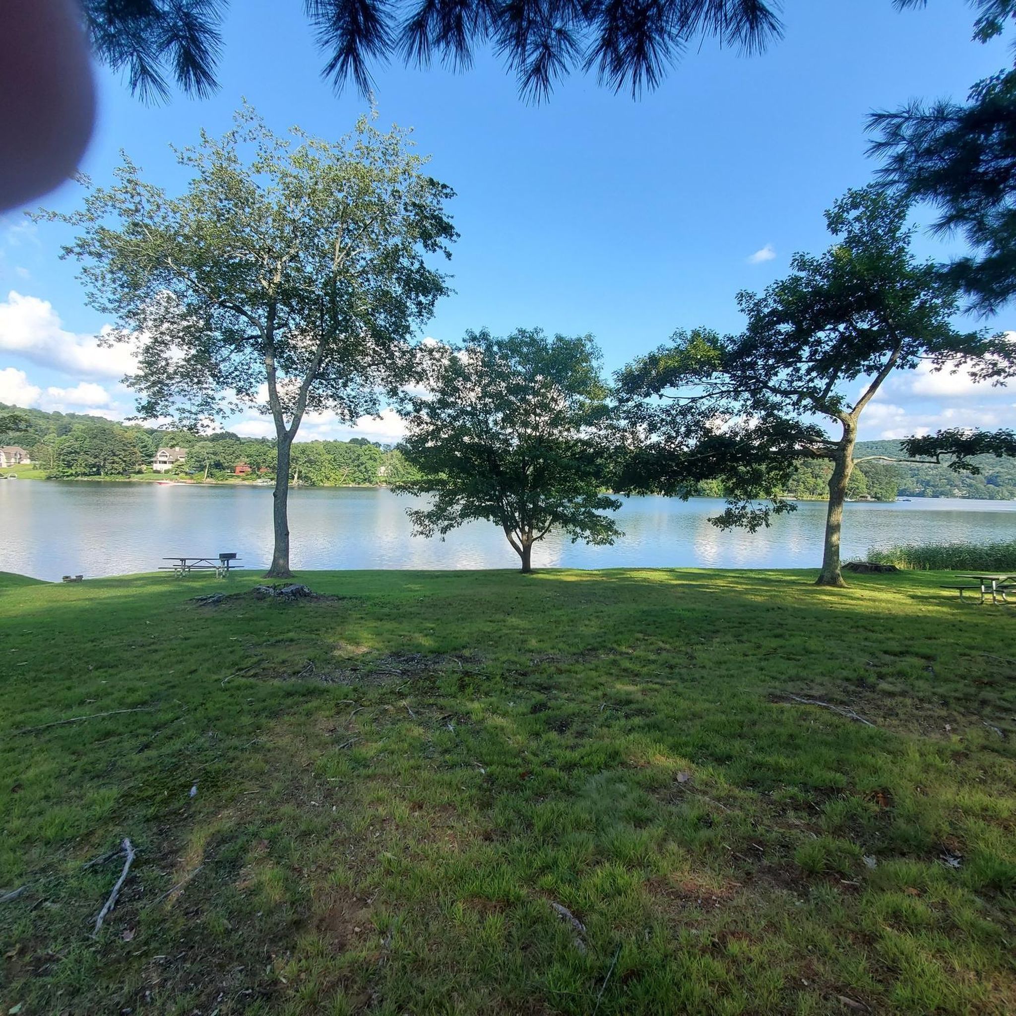
This small lake-side park comes equipped with picnic benches and plenty of trees to provide shade on a summers day. A great spot to take a break.
0
0

fast moving is possible if you're running out of time ..or daylight. Like I did.
0
0
Frequently Asked Questions
How many road cycling routes are available in Mount Bushnell State Park Scenic Reserve?
There are over 35 road cycling routes in Mount Bushnell State Park Scenic Reserve, offering a variety of distances and difficulty levels. These routes are highly rated by the komoot community, with an average score of 5.0 stars.
What kind of terrain can I expect when road cycling in Mount Bushnell State Park Scenic Reserve?
The terrain in Mount Bushnell State Park Scenic Reserve features dense woodlands, rolling hills, and historic old stone walls. You'll encounter mixed elevation changes, with many routes utilizing mostly paved surfaces. Some routes also offer scenic views of Lake Waramaug.
Are there road cycling routes suitable for beginners or families in the area?
Yes, Mount Bushnell State Park Scenic Reserve offers several routes suitable for beginners and families. There are 6 easy routes, such as the Lake Waramaug State Park – Lake Waramaug loop from Marbledale, which is an easy 12.4-mile (19.9 km) path with 642 feet (196 m) of elevation gain.
What are some moderate road cycling routes in Mount Bushnell State Park Scenic Reserve?
For those seeking a moderate challenge, there are 28 routes available. A popular option is the Lake Waramaug State Park – Lake Waramaug loop from Mount Bushnell State Park Scenic Reserve, a 23.3-mile (37.5 km) trail with 1,553 feet (473 m) of elevation gain.
Are there any circular road cycling routes around Lake Waramaug?
Yes, many road cycling routes in the area feature loops around Lake Waramaug. For instance, the Lake Waramaug – Lake Warmaug State Park loop from Lake Waramaug State Park is a 7.8-mile (12.6 km) trail that circles the lake, offering scenic views.
What landmarks or viewpoints can I see along the road cycling routes?
While cycling, you can enjoy views of Lake Waramaug through the trees on many routes. The park itself, reaching 1,201 feet at its peak, promises stunning views of the surrounding Litchfield Hills landscape. You'll also pass historic old stone walls that crisscross the terrain.
Is Mount Bushnell State Park Scenic Reserve suitable for road cycling with dogs?
Mount Bushnell State Park Scenic Reserve is generally welcoming to outdoor enthusiasts. However, when road cycling, it's important to consider the safety of your dog, especially on paved roads with potential traffic. Always ensure your dog is leashed and well-hydrated, and check local park regulations regarding pets on specific trails or roads.
Where can I park my car when visiting Mount Bushnell State Park Scenic Reserve for road cycling?
While specific parking areas for road cyclists are not detailed, the region is known for its undeveloped nature. You may find parking near trailheads or designated state park access points. It's advisable to check local signage upon arrival for the most current parking information.
What is the best time of year to go road cycling in Mount Bushnell State Park Scenic Reserve?
The Litchfield Hills region, including Mount Bushnell State Park Scenic Reserve, is beautiful throughout the warmer months. Spring offers lush greenery, while autumn provides spectacular fall foliage, making these seasons particularly scenic for road cycling. Always check local weather conditions before heading out.
Are there any cafes or places to eat near the road cycling routes in Mount Bushnell State Park Scenic Reserve?
The Mount Bushnell State Park Scenic Reserve is an undeveloped area, so direct amenities within the park are limited. However, nearby towns like New Preston and Washington, CT, offer cafes, pubs, and accommodation options where you can refuel after your ride.
How much elevation gain can I expect on road cycling routes in this area?
The routes in Mount Bushnell State Park Scenic Reserve feature mixed elevation changes. Easy routes, like the Lake Waramaug – Lake Warmaug State Park loop from Lake Waramaug State Park, have around 58 feet (18 m) of gain. More challenging routes, such as the Lake Waramaug – Lake Waramaug State Park loop from Lake Waramaug State Park, can have over 1,400 feet (429 m) of elevation gain.
What do other road cyclists enjoy most about road cycling in Mount Bushnell State Park Scenic Reserve?
The komoot community highly rates the road cycling experience in Mount Bushnell State Park Scenic Reserve, with an average score of 5.0 stars. Cyclists often praise the tranquil environment, the scenic views of Lake Waramaug, and the variety of routes that cater to different fitness levels through dense woodlands and rolling hills.
Most popular routes in Mount Bushnell State Park Scenic Reserve

Get inspired with the komoot mobile app


Explore more
Browse the best Road cycling routes in other regions.
