Mount Bushnell State Park Scenic Reserve
Mount Bushnell State Park Scenic Reserve
The best walks and hikes in Mount Bushnell State Park Scenic Reserve
4.9
(11)
177
hikers
21
hikes
Hiking in Mount Bushnell State Park Scenic Reserve explores a largely undeveloped landscape in Connecticut's Litchfield Hills. The area is characterized by dense woodlands, rolling hills, and old stone walls that crisscross the terrain. Trails feature a mix of elevation changes, offering views over the surrounding countryside, including glimpses of Lake Waramaug through the trees. The park's focus on preservation ensures a tranquil environment for outdoor activities.
Best hiking trails in Mount Bushnell State Park Scenic Reserve
- The most popular hiking route is Scenic Nature Pathway loop from New Preston, a 4.2 miles (6.7 km) trail that takes about 2 hours to complete. This easy route follows a natural pathway with moderate elevation gain.
- Another top favourite among local hikers is Hidden Valley Preserve loop from Hidden Valley Preserve, a moderate 3.5 miles (5.7 km) path. The trail navigates through varied terrain, including forested sections.
- Local hikers also love the Hiking loop from New Preston, a 3.5 miles (5.6 km) trail leading through woodlands, often completed in about 1 hour 45 minutes.
- Hiking in Mount Bushnell State Park Scenic Reserve is defined by rustic woodland paths, rolling hills, and a quiet, natural setting. The network of routes provides both easy and moderate options for different ability levels.
- The routes in Mount Bushnell State Park Scenic Reserve are highly rated by the komoot community with an average score of 4.9 stars from several reviews. More than 150 hikers have used komoot to explore Mount Bushnell State Park Scenic Reserve's varied terrain.
Last updated: July 9, 2026
2.83km
00:55
170m
10m
The Meeker Trail in Connecticut offers a delightful journey through diverse landscapes, starting with open meadows and hayfields before leading you over wooden planks through Meeker Swamp. As you ascend, the trail winds through wooded areas, culminating in a rewarding scramble up a rock slab to Waramaug's Rock summit. From there, you'll be treated to panoramic views over Lake Waramaug and the surrounding valley, making it a fantastic experience for those who appreciate varied scenery.
This easy 1.8-mile (2.8 km) hiking route, with 569 feet (174 metres) of elevation gain, can be completed in about 55 minutes, making it an ideal choice for a quick, impactful outing. The trail is well-marked with yellow blazes and is dog-friendly, provided your furry friend is on a leash. While beautiful in all seasons, consider a visit in autumn for spectacular fall foliage.
Part of the Macricostas Preserve, the Meeker Trail is known as the most frequented path in the area, offering a high-reward experience for relatively little effort. You can even extend your hike by connecting with the orange-marked Ridgeline Trail to form a longer loop, exploring more of the preserve's conservation efforts and natural beauty.
32
hikers
6.73km
02:00
180m
180m
The Scenic Nature Pathway loop from New Preston offers a delightful escape into nature, perfect for a leisurely stroll or a quick outdoor workout. This easy 4.2-mile (6.7 km) hike features 598 feet (182 metres) of elevation gain, winding through peaceful woodlands and offering a refreshing experience. You can expect to complete the Scenic Nature Pathway loop New Preston CT details in about 1 hour and 59 minutes, making it an accessible option for most fitness levels. It's a great way to immerse yourself in the local scenery without tackling a strenuous climb.
Starting directly from New Preston, this loop trail is convenient to access. While specific parking details aren't always highlighted, you'll generally find options within the village itself, especially if you arrive earlier in the day. Planning your visit for the morning can help ensure you find parking for Scenic Nature Pathway loop New Preston trailhead and enjoy the trail before it gets too busy. Always check local signs for any specific parking regulations.
This trail stands out as a hidden gem hiking New Preston area, offering a tranquil experience away from more crowded spots. Its gentle nature makes it suitable for families and those looking for a relaxed outing. After your hike, you can explore the charming village of New Preston, which offers a few local shops and eateries to round out your day.

Sign up for free
5
hikers
2.28km
00:37
40m
30m
You can enjoy a pleasant and accessible hike on the Two Bridges Loop via Bee Brook and Presidents Trail. This easy route takes you through mixed forests and meadows, offering a peaceful experience. The highlight is crossing two distinctive footbridges, including the impressive 134-foot Henry David Thoreau Suspension Bridge over the Shepaug River. You will cover 1.4 miles (2.3 km) with a gentle elevation gain of 119 feet (36 metres), typically finishing in about 37 minutes. The well-maintained path makes for a relaxed stroll, letting you soak in the sounds of the river and surrounding nature.
Planning your visit to this loop is straightforward, as parking is typically available at the trailhead. The path is generally flat and well-maintained, making it suitable for hikers of all levels looking for a relaxed outing. You will find clear markings on trees to guide your way, ensuring an easy navigation experience. The preserve also offers convenient places to rest and a picnic spot with a grill by the brook, perfect for a post-hike meal or a mid-walk break.
This trail is nestled within the Hidden Valley Preserve, a natural area known for its serene landscapes and accessible outdoor activities. The presence of the two unique footbridges, especially the notable suspension bridge, adds a distinctive architectural element to the natural beauty of the Shepaug River. It is an excellent choice if you are seeking a short, easy hike that combines natural scenery with interesting man-made structures in a tranquil setting.
5.0
(1)
12
hikers
5.71km
01:37
120m
120m
Easy hike. Great for any fitness level. Easily-accessible paths. Suitable for all skill levels.
3.33km
00:57
70m
80m
The Hidden Valley Preserve Green Square/Scoop Trail offers a wonderfully accessible hiking experience, tracing the scenic Shepaug River through a mix of woodlands and open areas. You'll find the path largely smooth and level, especially along the old rail trail section, making for a comfortable walk with minimal roots or rocks underfoot. This easy 2.1-mile (3.3 km) route, with just 235 feet (72 metres) of elevation gain, is perfect for a leisurely outing, taking around 56 minutes to complete.
When planning your visit, you'll appreciate that the trails within Hidden Valley Preserve are well-maintained and clearly marked, making navigation straightforward. The preserve is family-friendly and welcomes dogs on a leash, so it's a great spot for a group outing. Parking is available, but as with many popular spots, arriving earlier in the day is often best to ensure you get a space.
This trail is part of the larger Hidden Valley Preserve, which is known for its diverse landscapes and points of interest like the Thoreau Footbridge, a 134-foot suspension bridge inscribed with quotes. You can also explore the historic Quartz Mine, where impressive quartz minerals are still visible. The preserve's multi-use nature means it's enjoyable year-round, whether you're hiking, horseback riding, or even cross-country skiing in winter.
Get access to more routes and recommendations from other explorers.
Sign up for free
Already have an account?
Our route recommendations are based on thousands of hikes, rides, and runs completed by other people on komoot.
Start today with a free account
Your next adventure awaits.
Login or Signup
Popular around Mount Bushnell State Park Scenic Reserve

Tips from the Community

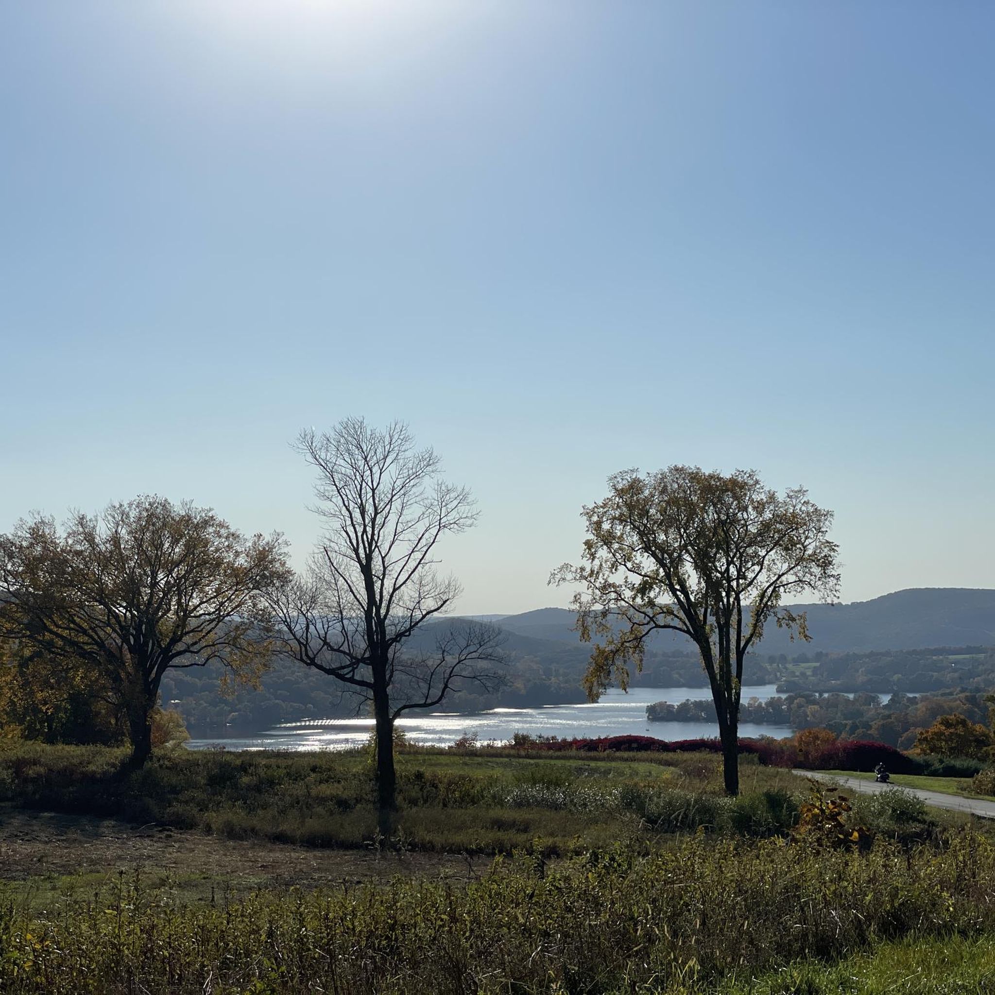
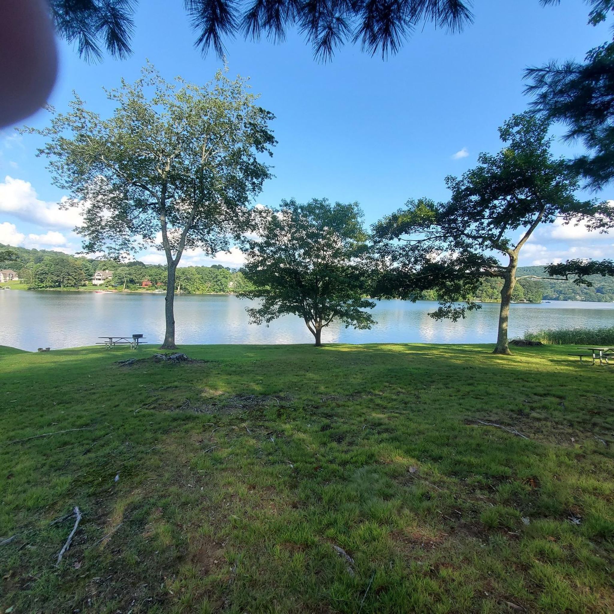
You'll find almost 17 miles of trails criss-crossing this 700-acre preserve. The landscape is primarily forest and meadowland, with a couple of lookout points that give you stunning vistas over the nearby river valley.
0
0
Frequently Asked Questions
Are dogs allowed in Mount Bushnell State Park?
Yes, dogs are generally permitted in Connecticut State Parks, provided they are kept on a leash. As Mount Bushnell is a scenic reserve with a focus on preservation, please ensure you clean up after your pet and keep them under control to protect the local wildlife.
What are the trail conditions like? Are the paths well-marked?
Mount Bushnell State Park offers a rustic hiking experience. The trails are generally not marked, following old paths and stone walls. This adds a sense of adventure, but it's recommended that you use a GPS device or a reliable hiking app like komoot to navigate. The terrain consists of woodland paths with some elevation changes.
Is there parking available at the park, and is there a fee?
Mount Bushnell is a 'walk-in' park with limited roadside parking available near the entrance on Tinker Hill Road. There are no designated parking lots or facilities. Access is free, and there are no parking fees.
Are there any easy, family-friendly hikes in the area?
Yes, the region offers several easier walks. A good option for a gentle outing is the Hidden Valley Preserve loop from Washington. This 3.5-mile (5.7 km) trail has minimal elevation gain and is a great way to experience the local scenery without a strenuous climb.
I'm looking for a more challenging hike. What do you recommend?
For a more demanding trek, consider the Rock tunnel loop from Washington. This moderate 4.8-mile (7.7 km) route offers a bit more of a challenge and explores the varied terrain of the surrounding preserves. The park itself is also known for a rugged, unofficial trail called the 'Devil's Backbone'.
What is the best time of year to hike in Mount Bushnell State Park?
The park is beautiful year-round, but it is especially famous for its spectacular fall foliage. The vibrant colors of the Litchfield Hills in autumn create a stunning panorama. Spring offers blooming wildflowers, while summer provides a lush, green canopy.
Are there any good spots for photography?
Absolutely. As you ascend the trails, you'll find viewpoints offering scenic vistas of the surrounding countryside, including glimpses of Lake Waramaug through the trees. The old stone walls that crisscross the park also make for interesting and historic photo subjects, especially when framed by seasonal foliage.
Can I get to the park using public transport?
Due to its rural and undeveloped nature, there is no direct public transportation to Mount Bushnell State Park. The best way to access the trailheads is by car.
What do other hikers enjoy most about this area?
The area is highly rated by the komoot community. Reviewers often praise the park's quiet, serene atmosphere and the authentic, rustic feel of the trails. The sense of escaping into a natural, undeveloped landscape is a frequently mentioned highlight.
Are there any other attractions or points of interest nearby?
Yes, the surrounding area is rich with attractions. Adjacent to the park is Lake Waramaug State Park, popular for swimming and boating. You can also visit Hopkins Vineyard for wine tasting with a view, or explore the charming village of New Preston, which features the beautiful New Preston Falls.
What does it mean that this is a 'Scenic Reserve'?
As a Scenic Reserve, Mount Bushnell's primary purpose is to preserve its natural state. This means you won't find extensive facilities like visitor centers, restrooms, or paved paths. It's a 'walk-in' park designed for low-impact recreation like hiking and bird watching in a tranquil setting. For official details on park classifications, you can visit the Connecticut State Parks website.
Most popular routes in Mount Bushnell State Park Scenic Reserve

Get inspired with the komoot mobile app


Explore more
Browse the best Hikes in other regions.
