The best road cycling routes in Belmont Wetlands State Park
5.0
(7)
565
riders
15
rides
Road cycling in Belmont Wetlands State Park features diverse landscapes, including 4.5 kilometers of beachfront, significant sand dunes, and 240 hectares of critical wetlands. The terrain is generally easy, with mostly paved surfaces and elevation gains typically under 500 feet. The park also includes native bushland and the well-known Fernleigh Track, a sealed path following a disused rail line.
Best road cycling routes in Belmont Wetlands State Park
- The most popular road cycling route is Whitebridge Railway Station loop from…
Last updated: July 15, 2026
24
riders
19.9km
00:53
110m
110m
Easy road ride. Great for any fitness level. Mostly well-paved surfaces and easy to ride.
15
riders
28.5km
01:18
100m
100m
Easy road ride. Great for any fitness level. Mostly well-paved surfaces and easy to ride.

Sign up for free
13
riders
53.6km
02:33
440m
440m
Moderate road ride. Good fitness required. Mostly well-paved surfaces and easy to ride.
15
riders
52.8km
02:34
410m
410m
Moderate road ride. Good fitness required. Mostly well-paved surfaces and easy to ride.
5.0
(1)
9
riders
21.5km
01:02
270m
270m
Easy road ride. Great for any fitness level. Mostly well-paved surfaces and easy to ride.
Get access to more routes and recommendations from other explorers.
Sign up for free
Already have an account?
Our route recommendations are based on thousands of hikes, rides, and runs completed by other people on komoot.
Start today with a free account
Your next adventure awaits.
Login or Signup
Popular around Belmont Wetlands State Park

Tips from the Community

Located on the eastern shore of Lake Macquarie, Eleebana Lions Park is a lakeside reserve connecting into the waterfront shared path toward Warners Bay and Speers Point. The park includes picnic shelters, barbecues, toilets, and direct lake access, with Red Bluff Boardwalk beginning nearby.
0
0
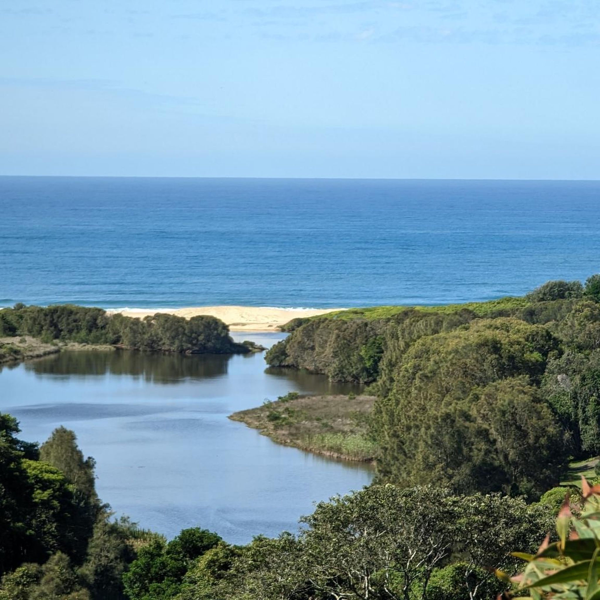
Lake Macquarie is the largest coastal saltwater lake in Australia, forming a broad, open water body surrounded by suburbs, parkland, and small inlets. From the shoreline, views stretch across long distances of water, often with boats, jetties, and changing light reflecting off the surface. It makes for a beautiful, breezy walk.
1
0
This section of the Great North Walk follows the foreshore of Lake Macquarie through Speers Point, combining lakeside shared paths with more urban parkland surroundings. Compared to the bushier sections further south on the track, this stretch feels much more open, with regular access to cafés, playgrounds, picnic areas, and waterfront reserves. The route links through Speers Point Park and continues along the lake edge toward Warners Bay and Newcastle.
0
0

Bathers Way is a 6-kilometre coastal walk in Newcastle, connecting Merewether Ocean Baths to Nobbys Beach, that runs right along the shoreline. It passes a string of beaches, ocean baths, and lookouts, with beautiful sweeping ocean views and a mix of paved paths, boardwalks, and clifftop sections. Along the way, the route combines natural scenery with layers of local history, including Aboriginal cultural connections to the coastline, shipwrecks and wartime sites, making it one of the region’s most iconic walks.
0
0

Awabakal Nature Reserve was established in January 1978 and spans a whopping 228 hectares. Dogs are not allowed in the reserve, but it's a great place for kids and is pram accessible via the paved Fernleigh Track. From July to October, wildflowers send the park into a colorful spectacle. The reserve is home to dense forests, ocean vistas, lagoons, restrooms, and picnic benches.
0
0
The Former Belmont Railway Station serves as the terminus for the Fernleigh Track. Here are remnants of the old train tracks, a station platform, and a commemorative sign. This railway was converted into the Fernleigh Track, a rail trail that makes good use of the old corridor. Here you will also find the library and a little food stand to fuel up before or after your adventure.
0
0

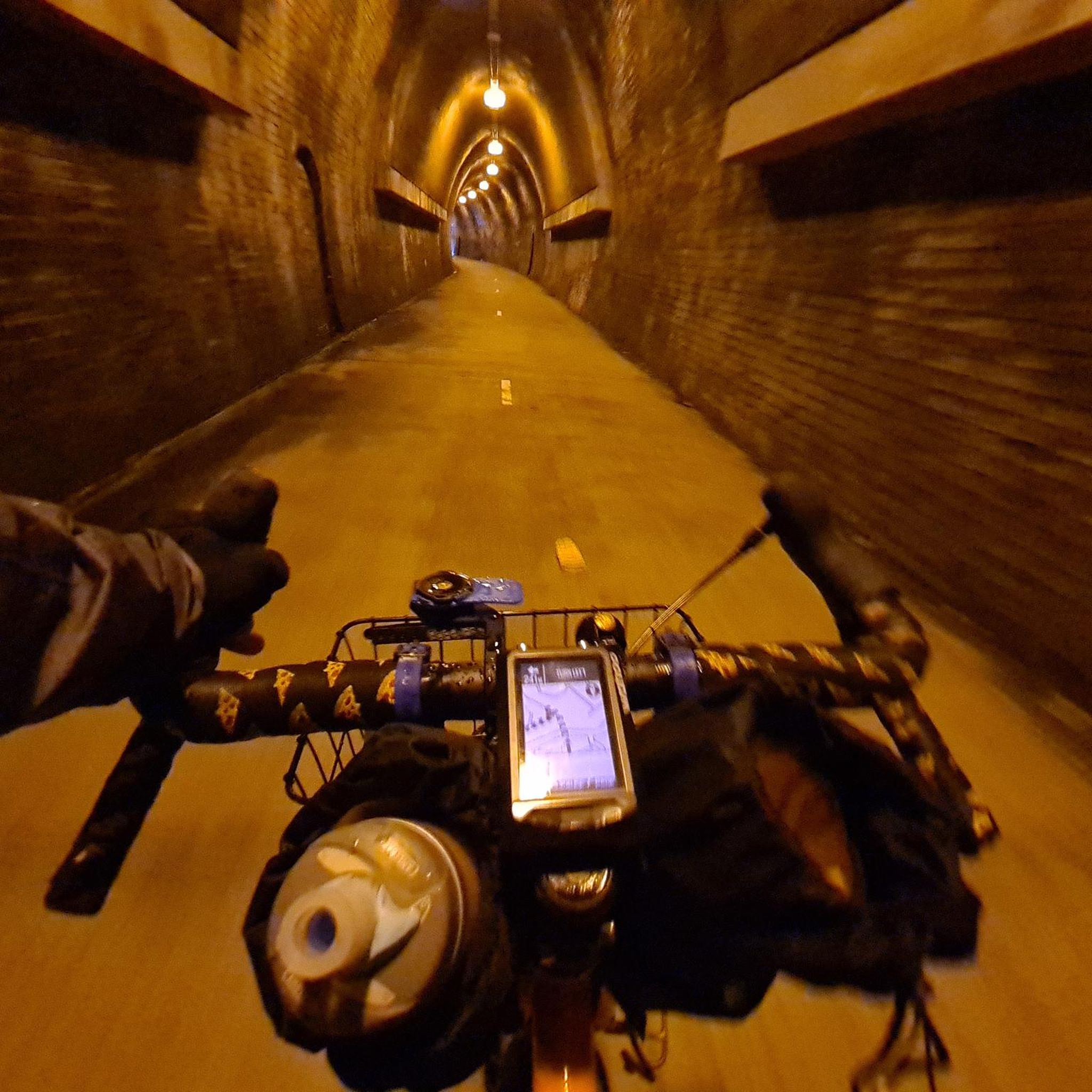
The Fernleigh track is 15 km low slope, hardened track through bush and wetlands. It's an amazing resource, and, I think, it's a model for many more that should be established around the country. The only thing is that many racing cyclists seem to be travelling along it at excessive speeds.
0
0
Frequently Asked Questions
How many road cycling routes are available in Belmont Wetlands State Park?
Belmont Wetlands State Park offers a good selection of road cycling routes, with over 20 different tours available. These routes cater to various preferences, ranging from easy rides to more moderate challenges.
What is the typical terrain and difficulty level for road cycling in Belmont Wetlands State Park?
The terrain in Belmont Wetlands State Park is generally easy, featuring mostly paved surfaces. Many routes, like the well-known Fernleigh Track, are sealed paths. While most rides are considered easy with elevation gains typically under 500 feet, some longer routes may include unpaved or more challenging segments. Overall, it's suitable for various fitness levels.
Are there any challenging road cycling routes in Belmont Wetlands State Park?
While many routes are easy, there are moderate options available for those seeking a greater challenge. For example, the Whitebridge Railway Station – Matey's Coffee Van loop from Lake Macquarie Airport is a moderate 33.4-mile (53.8 km) trail with an elevation gain of over 400 meters, offering a more demanding ride through varied landscapes.
What natural features or scenic viewpoints can I expect to see while road cycling in Belmont Wetlands State Park?
Road cycling routes in Belmont Wetlands State Park offer diverse scenery. You can expect to see 4.5 kilometers of beachfront, significant sand dunes, and 240 hectares of critical wetlands. The park also features native bushland, including Coastal Sand Scrub and Swamp Mahogany – Paperbark Forest. The Fernleigh Track provides a smooth ride through much of this natural beauty, and areas like the 'Wildflower Walk' (parallel to Fernleigh Track) offer seasonal floral displays.
Can I spot wildlife while cycling in Belmont Wetlands State Park?
Yes, Belmont Wetlands State Park is an excellent location for wildlife spotting, particularly birdwatching. The extensive wetlands are vital habitats for migratory birds, and bird hides are available in the southern Airshaft Peninsula for enthusiasts. Keep an eye out for various bird species as you cycle through the park's diverse ecosystems.
Are there family-friendly road cycling options in Belmont Wetlands State Park?
Absolutely. The park is ideal for leisurely rides and families due to its mostly paved surfaces and easy routes. The Whitebridge Railway Station loop from Belmont, for instance, is an easy 12.4-mile (19.9 km) trail that offers a smooth ride through accessible paths, making it suitable for families.
Where can I park my car when visiting Belmont Wetlands State Park for road cycling?
While specific parking locations for road cycling aren't detailed, the park is well-equipped for visitors. Access points to routes like the Fernleigh Track often have designated parking areas. It's advisable to check local signage upon arrival for the most convenient parking near your chosen starting point.
Are there any circular road cycling routes in Belmont Wetlands State Park?
Yes, many of the road cycling routes in Belmont Wetlands State Park are designed as loops, allowing you to start and finish at the same point. Examples include the Whitebridge Railway Station loop from Belmont and the Sunset at Blacksmiths Beach loop from Belmont, providing convenient circular journeys.
What is the best time of year to go road cycling in Belmont Wetlands State Park?
Belmont Wetlands State Park can be enjoyed year-round, but spring and autumn generally offer the most pleasant conditions for road cycling, with milder temperatures. During certain times of the year, the 'Wildflower Walk' area, parallel to the Fernleigh Track, offers a beautiful display of flowers, adding to the scenic appeal of your ride.
Are there places to stop for refreshments or coffee along the road cycling routes?
Yes, some routes incorporate stops for refreshments. For example, the Whitebridge Railway Station – Matey's Coffee Van loop from Lake Macquarie Airport explicitly mentions 'Matey's Coffee Van' in its name, indicating opportunities for a coffee break during your ride.
How long do road cycling routes typically take in Belmont Wetlands State Park?
The duration of road cycling routes varies depending on their length and your pace. Easy routes like the Whitebridge Railway Station loop from Belmont (12.4 miles / 19.9 km) can take around 53 minutes. Longer, moderate routes such as the Whitebridge Railway Station – Matey's Coffee Van loop from Lake Macquarie Airport (33.4 miles / 53.8 km) might take approximately 2 hours and 37 minutes.
What do other road cyclists enjoy most about the routes here?
The road cycling routes in Belmont Wetlands State Park are highly rated by the komoot community, with an average score of 5.0 stars from over 10 reviews. Cyclists often praise the diverse landscapes, including coastal paths, wetlands, and native bushland, as well as the well-maintained, mostly paved surfaces that make for enjoyable rides.
Most popular routes in Belmont Wetlands State Park

Get inspired with the komoot mobile app


Explore more
Browse the best Road cycling routes in other regions.
