The best running trails in Wolli Creek Regional Park
4.4
(105)
12,975
runners
202
runs
Jogging in Wolli Creek Regional Park offers a network of running routes through diverse natural landscapes. The park is characterized by its riverine environment, featuring the Wolli Creek itself, alongside areas of bushland and open green spaces. Runners can expect varied terrain, including paths along waterways and through parkland, with gentle elevation changes.
Best jogging routes in Wolli Creek Regional Park
- The most popular jogging route is Cooks River – Muddy Creek loop from Turrella, an 8.1 miles (13.1 km) trail that takes about 1 hour 21 minutes to complete. This route follows the course of the Cooks River and Muddy Creek, offering waterside running.
- Another top favourite among local runners is Wolli Creek Regional Park loop from Bexley North, a moderate 4.4 miles (7.1 km) path. This loop provides an immersive experience within the park's natural setting.
- Local runners also love the Richardsons Lookout – Water Bird Sanctuary loop from Marrickville, an 8.4 miles (13.5 km) trail leading through areas with scenic viewpoints and opportunities for wildlife spotting, often completed in about 1 hour 24 minutes.
- Jogging in Wolli Creek Regional Park is defined by its river paths, bushland sections, and open parkland. The network offers options for various ability levels, from easy jogs to more challenging running routes.
- The routes in Wolli Creek Regional Park are highly rated by the komoot community with an average score of 4.4 stars from over 130 reviews. More than 14000 runners have used komoot to explore Wolli Creek Regional Park's varied terrain.
Last updated: July 2, 2026
33
runners
17.7km
01:50
50m
50m
Hard run. Very good fitness required. Mostly paved surfaces. Suitable for all skill levels.
7
runners
7.11km
00:51
30m
30m
Moderate run. Good fitness required. Mostly paved surfaces. Suitable for all skill levels.

Sign up for free
5.0
(1)
107
runners
13.5km
01:25
90m
90m
Moderate run. Good fitness required. Mostly paved surfaces. Suitable for all skill levels.
5.0
(1)
94
runners
12.6km
01:19
50m
50m
Moderate run. Good fitness required. Mostly paved surfaces. Suitable for all skill levels.
41
runners
29.5km
03:07
80m
80m
Hard run. Very good fitness required. Mostly paved surfaces. Suitable for all skill levels.
Get access to more routes and recommendations from other explorers.
Sign up for free
Already have an account?
Our route recommendations are based on thousands of hikes, rides, and runs completed by other people on komoot.
Start today with a free account
Your next adventure awaits.
Login or Signup
Popular around Wolli Creek Regional Park
Tips from the Community

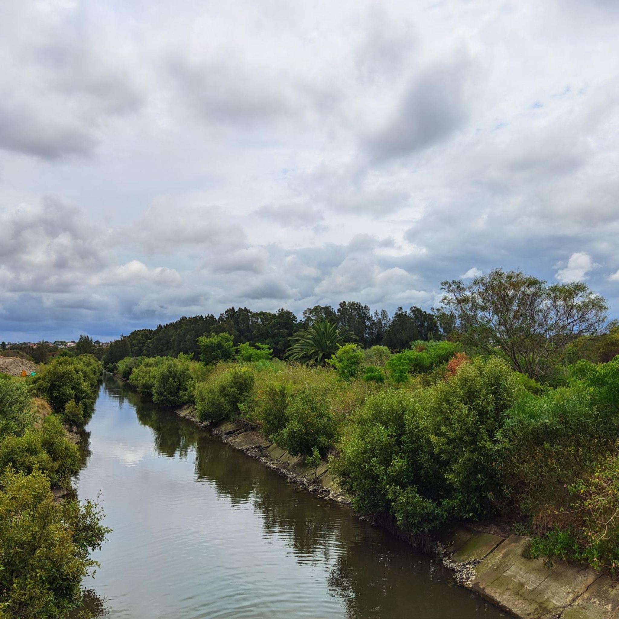
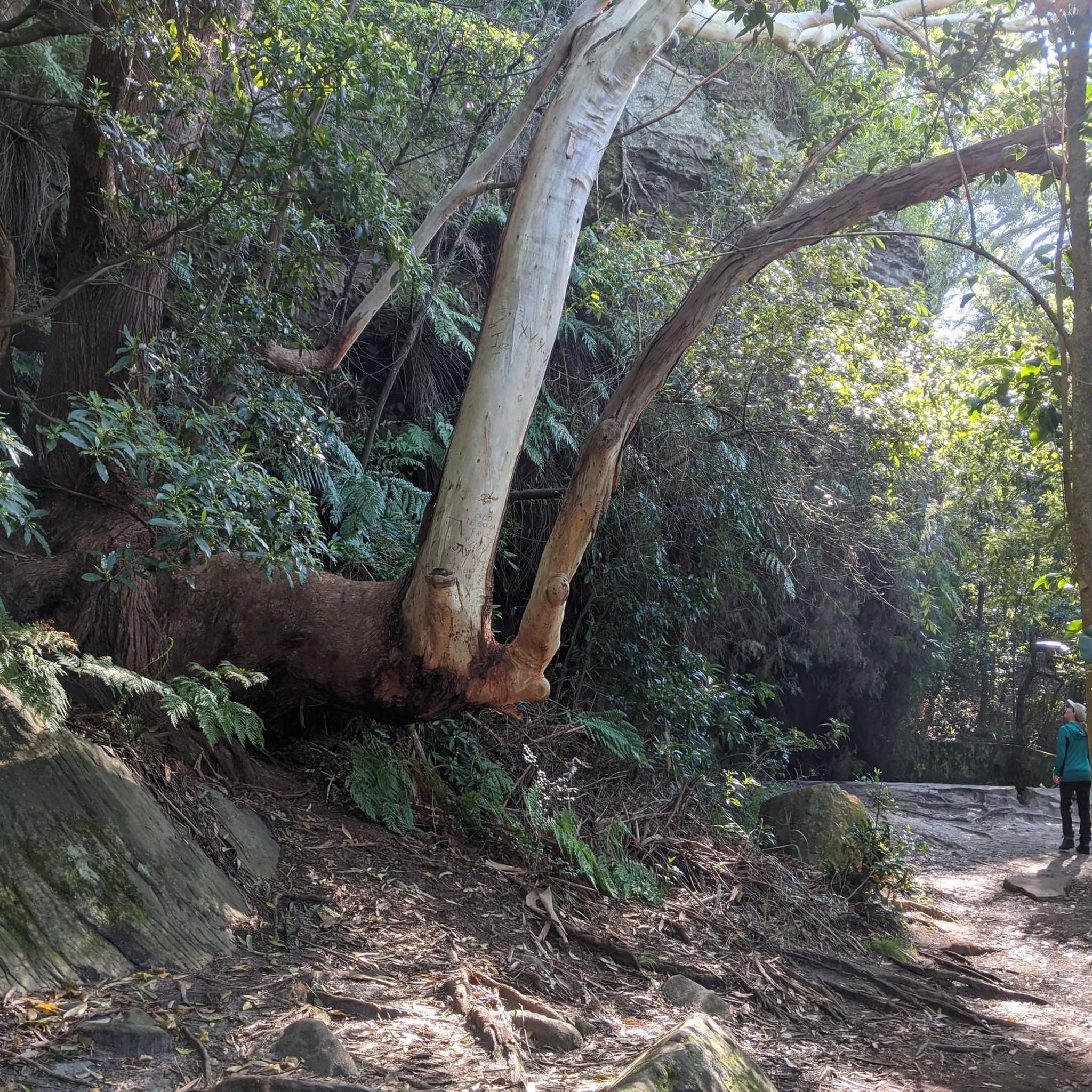
Be sure to look up when passing through this part of the Wolli Creek Regional Park. Depending on the season and year you may see a few hundred to over 20,000 bats in the trees above you. If you're here on a warm evening you may even see them dip into the water to hydrate before heading out on their nightly feed.
0
0

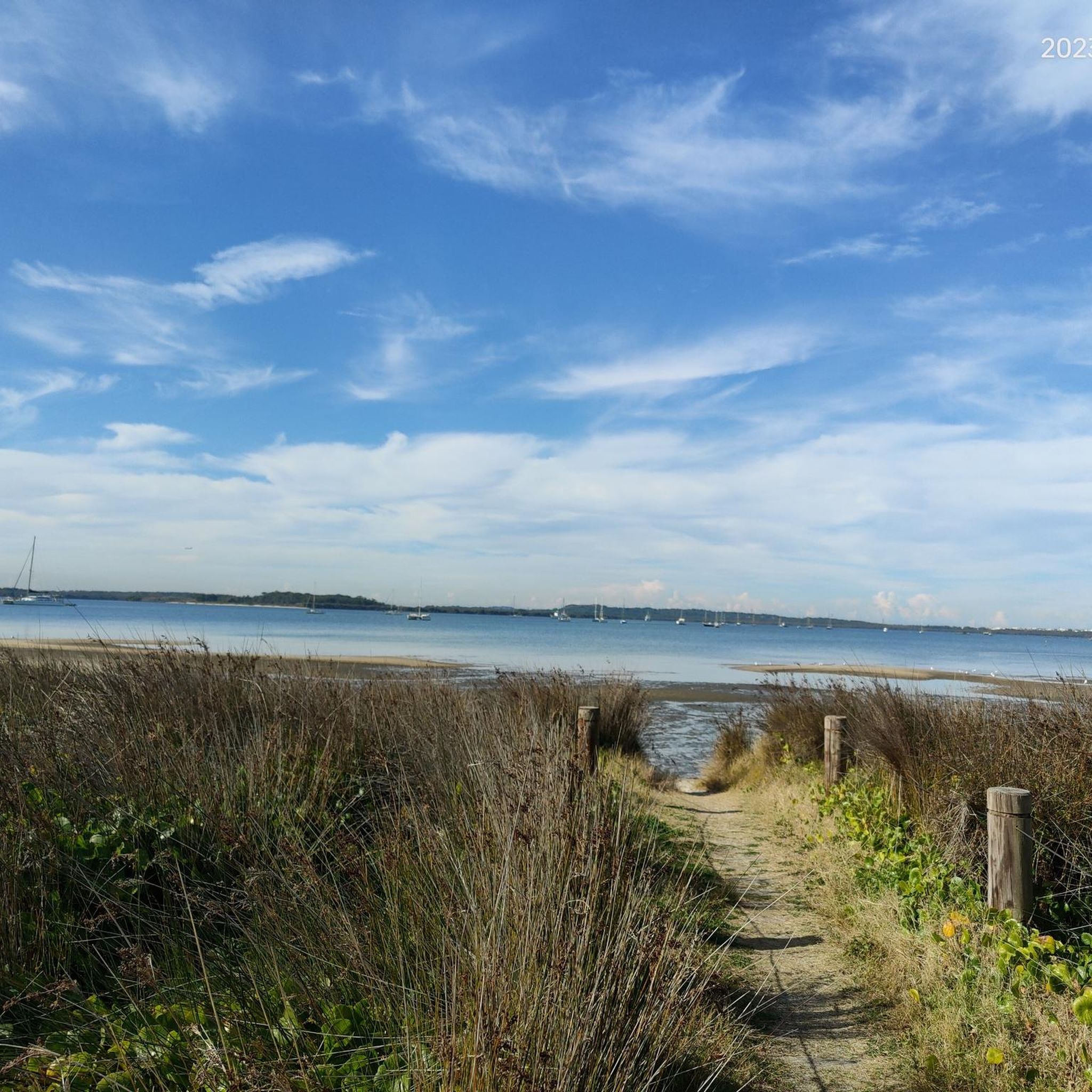
Botany Bay is famous for being the site of Captain James Cook's first landing in Australia in 1770. Today, the Sydney Airport juts out into the northern end of the bay, and the Towra Point Nature Reserve juts out into the southern end of the bay. Sandy beaches and multi-use paths line the waters, and it's a scenic recreation spot for anyone to enjoy.
0
0

Steel Park is a large riverside recreation area nestled along the Cooks River, with open lawns, sports fields, picnic areas, and access to the popular Cooks River cycle and walking path. There is a playground, outdoor fitness equipment, shady picnic spots, and a seasonal water play area that makes it especially popular with families in the warmer months. It’s a great place to take a break and enjoy the river scenery.
0
0
Georges River Sailing Club sits at the southern end of Cook Park, almost right on the sand. In the park there are toilets, car parks, water fountains and BBQs while in the sailing club there's a restaurant and the Kiss The Barista Café with waterfront views.
0
0
Lady Margaret Beach sits at Dolls Point along Botany Bay, and is part of the longer Lady Robinsons Beach system, a continuous stretch of sand lining the bay’s western shore. This beautiful beach is part of a series of bayside beaches at the mouth of the Georges River, where typically calm waters meet the gently curving shoreline. Surrounded by Cook Park, its open setting and wide views across the bay make it a relaxed spot for swimming and enjoying the coastal surroundings.
0
0
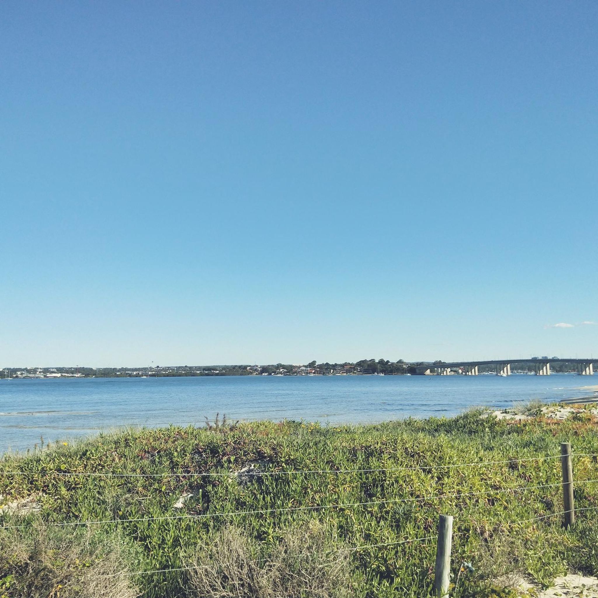
Sans Souci Park is a picturesque waterfront reserve along the Georges River, with open lawns, picnic areas, and a promenade with sweeping water views. The park includes BBQ facilities, shared pathways, and access to a wharf and fishing spots, making it a popular spot for both relaxation and recreation. Its location beside the Captain Cook Bridge adds a scenic backdrop while connecting it to the beautiful surrounding bayside landscape.
0
0
This is a fantastic spot to get a beautiful view of Botany Bay, an expansive coastal inlet south of central Sydney where the Georges and Cooks rivers flow into the Tasman Sea. The bay is historically significant as the landing site of Captain James Cook in 1770 and remains a key natural and industrial waterway. Today, it blends protected parklands, beaches, and major port facilities along its shores.
0
0
Cook Park is a long foreshore reserve that runs about 8½ kilometres along the western shoreline of Botany Bay, connecting beaches and suburbs from Kyeemagh to Sans Souci. Established in the late 19th century as public land, it’s named after Samuel Cook, who advocated for preserving the bay’s edge for community use. Today, it provides a continuous corridor of open space, shared walking and cycling paths, and direct access to several lovely, peaceful waterfront areas.
0
0
Frequently Asked Questions
How many running routes are available in Wolli Creek Regional Park?
Wolli Creek Regional Park offers a wide selection of over 220 running routes, catering to various preferences and fitness levels. You'll find everything from easy jogs to more challenging trails.
Are there easy running routes suitable for beginners in Wolli Creek Regional Park?
Yes, the park features 27 easy running routes, perfect for beginners or those looking for a relaxed jog. These trails typically have minimal elevation changes and are well-suited for a gentle introduction to the park's natural beauty.
What are some good circular running routes in Wolli Creek Regional Park?
Many of the park's routes are circular, allowing you to start and finish at the same point. A popular option is the Wolli Creek Regional Park loop from Bexley North, which is a moderate 4.4-mile (7.1 km) path offering an immersive experience within the park's natural setting.
Can I bring my dog on the running trails in Wolli Creek Regional Park?
Wolli Creek Regional Park is generally dog-friendly, but specific rules may apply to certain areas or trails. It's always best to check local signage or the park's official guidelines regarding dog access to ensure a pleasant and compliant run with your canine companion.
Are there family-friendly jogging routes in Wolli Creek Regional Park?
Yes, many of the easier routes are suitable for families. The park's diverse terrain includes paths along waterways and through open parkland, providing safe and enjoyable environments for families to jog together. Look for routes marked as 'easy' for the most family-friendly options.
What kind of terrain can I expect on the running trails?
The running routes in Wolli Creek Regional Park offer varied terrain. You can expect paths along the Wolli Creek itself, sections through bushland, and open green spaces. While most routes have gentle elevation changes, some may include moderate ascents and descents.
Where can I park when visiting Wolli Creek Regional Park for a run?
Parking is available at various access points around Wolli Creek Regional Park. Depending on your chosen starting point, you'll find street parking or designated car parks in nearby suburbs like Turrella, Bexley North, or Marrickville. It's advisable to check specific access points for the most convenient parking.
How can I reach Wolli Creek Regional Park using public transport?
Wolli Creek Regional Park is well-served by public transport. Train stations such as Turrella, Bexley North, and Wolli Creek provide convenient access to different parts of the park. Several bus routes also operate in the surrounding areas, making it easy to get to your preferred starting point.
What do other runners enjoy most about jogging in Wolli Creek Regional Park?
The park is highly rated by the komoot community, with an average score of 4.4 stars from over 130 reviews. Runners often praise the diverse natural landscapes, the peaceful riverine environment, and the variety of trails that cater to different abilities.
Are there any routes that offer scenic viewpoints or opportunities for wildlife spotting?
Absolutely. The park is known for its natural beauty and wildlife. The Richardsons Lookout – Water Bird Sanctuary loop from Marrickville is an excellent choice, leading through areas with scenic viewpoints and providing opportunities to spot various bird species and other local wildlife.
Are there any cafes or amenities near the running trails?
While the park itself is a natural reserve, the surrounding suburbs like Turrella, Bexley North, and Marrickville offer various cafes and amenities. You'll find options for refreshments and facilities within a short distance from many of the park's access points, perfect for a post-run coffee or snack.
What is a good longer running route for experienced runners?
For those seeking a longer challenge, the Brighton-Le-Sands Beach loop from Banksia is a difficult 18.1-mile (29.2 km) route that offers a more extensive running experience, including coastal sections.
Most popular routes in Wolli Creek Regional Park

Get inspired with the komoot mobile app


Explore more
Browse the best Running Trails & Routes in other regions.
