The best road cycling routes in Wolli Creek Regional Park
4.5
(96)
5,134
riders
73
rides
Road cycling routes in Wolli Creek Regional Park traverse a unique blend of accessible urban bushland within Sydney's inner southwest. The area features diverse ecosystems, including eucalypt woodlands, wetlands, and mangroves, alongside rugged sandstone escarpments. Many routes utilize paved surfaces, offering options for various fitness levels, from easy rides with minimal elevation gain to more challenging paths. The park's varied terrain provides a distinct setting for road cycling.
Best road cycling routes in Wolli Creek Regional Park
- The most popular road cycling route is Green Pathway with White Poles – Brighton-Le-Sands Beach loop from Wolli Creek, a 23.3 miles (37.5 km) trail that takes 2 hours 3 minutes to complete. This moderate route offers a mix of urban and coastal scenery.
- Another top favourite among local road cyclists is Canterbury Sugar Works loop from Wolli Creek, an easy 7.8 miles (12.5 km) path. This route features minimal elevation gain, making it suitable for a quick ride.
- Local road cyclists also love the Oatley Park Lookout – Hillcrest Hill Climb loop from Bexley North, a 22.2 miles (35.8 km) trail leading through varied suburban landscapes, often completed in about 1 hour 55 minutes.
- Road cycling in Wolli Creek Regional Park is defined by urban bushland, diverse ecosystems, and sandstone escarpments. The network offers options for different ability levels, from easy, flat rides to more challenging routes with greater elevation.
- The routes in Wolli Creek Regional Park are highly rated by the komoot community with an average score of 4.3 stars from over 80 reviews. More than 5,600 road cyclists have used komoot to explore Wolli Creek Regional Park's varied terrain.
Last updated: July 18, 2026
4.8
(6)
57
riders
37.3km
02:02
100m
100m
Moderate road ride. Good fitness required. Mostly well-paved surfaces and easy to ride.
5
riders
97.3km
05:16
1,170m
1,170m
Hard road ride. Very good fitness required. Some segments of this route may be unpaved and difficult to ride.

Sign up for free
15
riders
12.5km
00:39
40m
40m
Easy road ride. Great for any fitness level. Mostly well-paved surfaces and easy to ride.
8
riders
37.2km
02:01
430m
430m
Moderate road ride. Good fitness required. Mostly well-paved surfaces and easy to ride.
5.0
(2)
360
riders
116km
05:47
1,140m
1,140m
Hard road ride. Very good fitness required. Mostly well-paved surfaces and easy to ride.
Get access to more routes and recommendations from other explorers.
Sign up for free
Already have an account?
Our route recommendations are based on thousands of hikes, rides, and runs completed by other people on komoot.
Start today with a free account
Your next adventure awaits.
Login or Signup
Popular around Wolli Creek Regional Park
Tips from the Community

Otford Lookout sits high above the southern coastline of Royal National Park, with sweeping views over Bulgo Beach, the Illawarra coastline, and the Pacific Ocean. The adjacent parking lot is also the southern trailhead for the Coast Track and Werrong Beach Track, making it a popular starting point for some of the park’s best coastal walks. Even if you’re not heading out on an adventure, it’s a worthwhile stop to take in the fantastic cliff-top scenery.
0
0

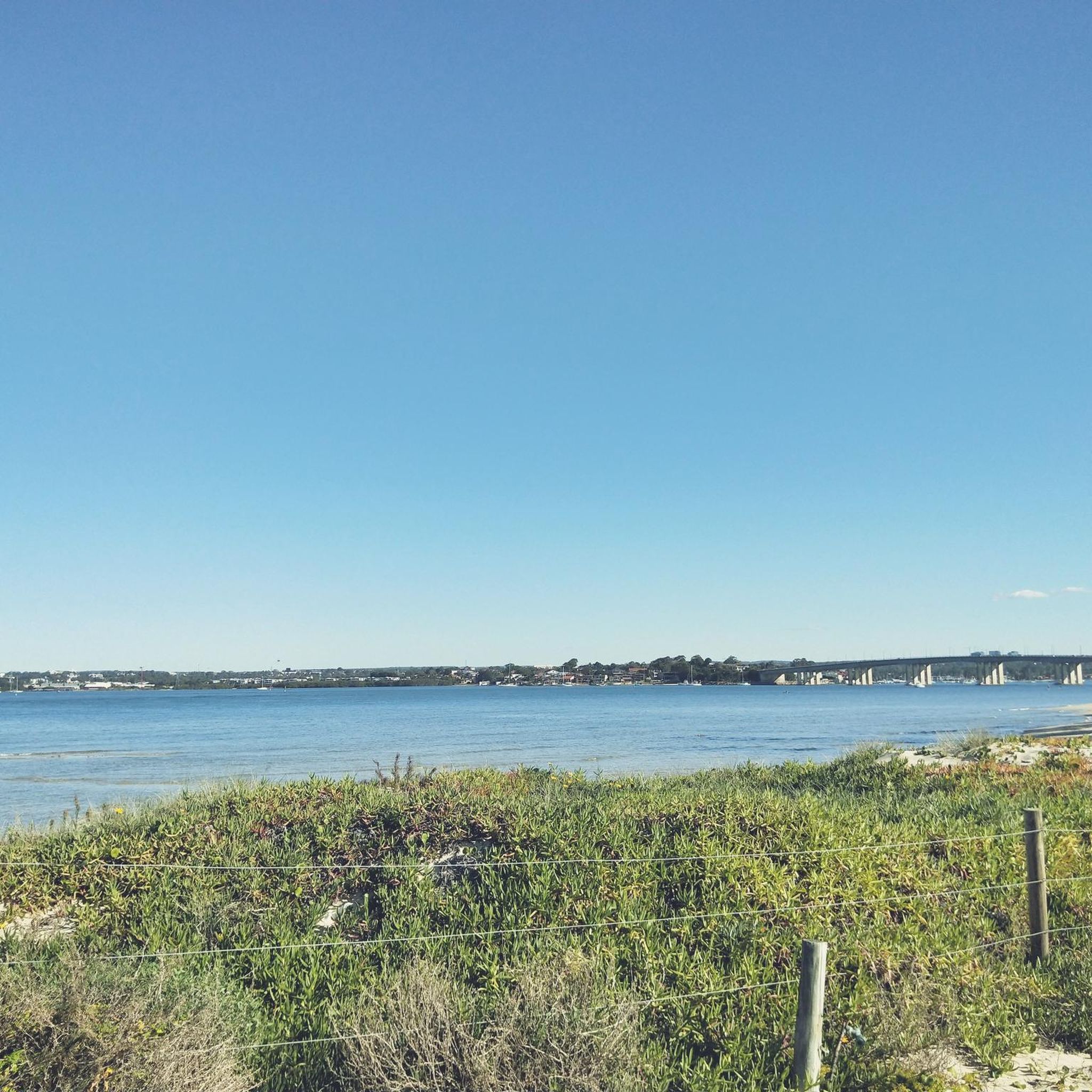
Botany Bay is famous for being the site of Captain James Cook's first landing in Australia in 1770. Today, the Sydney Airport juts out into the northern end of the bay, and the Towra Point Nature Reserve juts out into the southern end of the bay. Sandy beaches and multi-use paths line the waters, and it's a scenic recreation spot for anyone to enjoy.
0
0

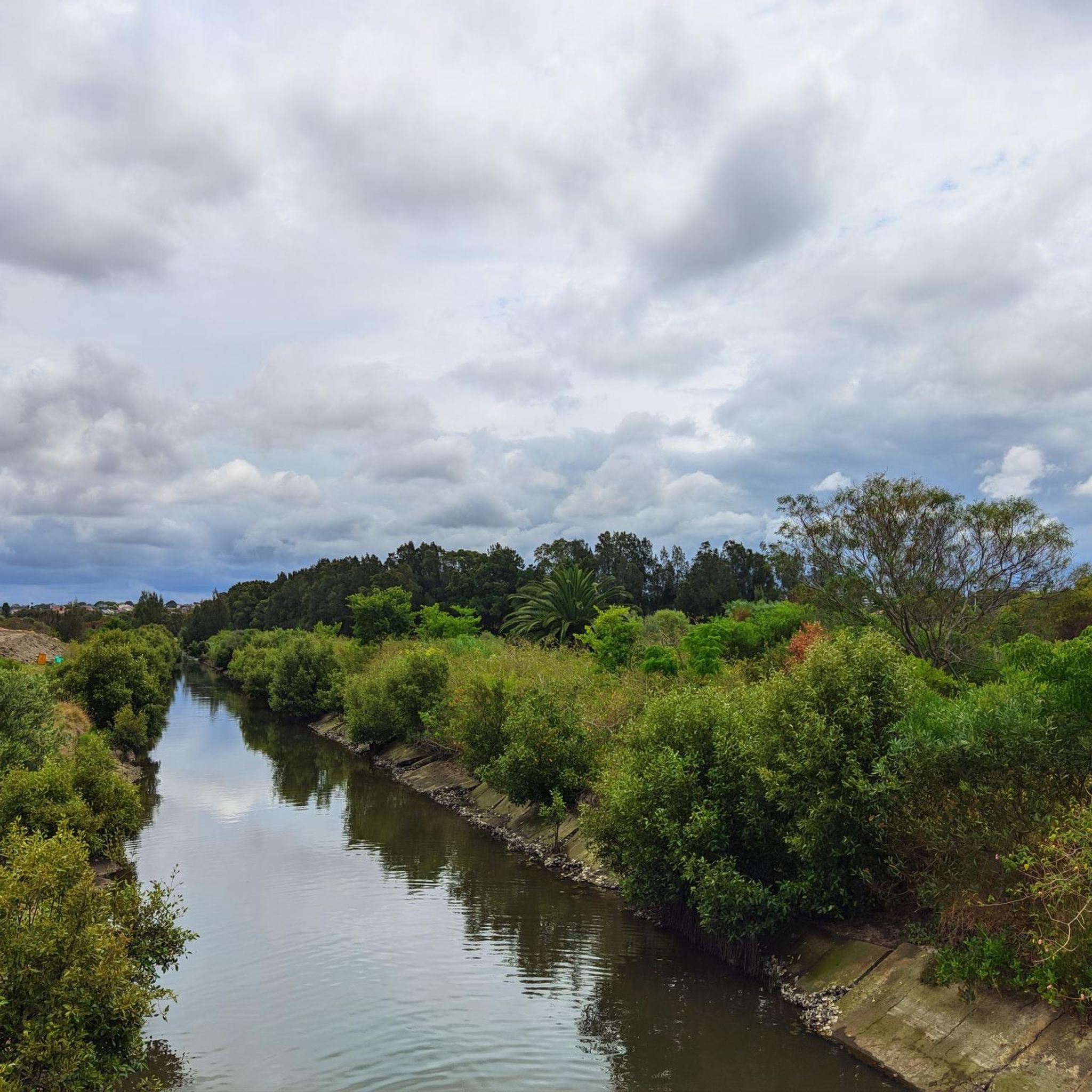
You get a nice view of the river as you pass by Warren Park. The section of multi-use trail along the north shore of the Cook is generally a little sunnier than the south side. From here, the Cook River flows out into Botany Bay.
0
0
Jewfish Bay Baths, also known as Oatley Baths, is a large tidal swimming enclosure set within Oatley Park along the Georges River. Built in the 1920s, it features an extensive netted swimming area with tiered concrete platforms that follow the natural curve of the bay. Its calm waters and bushland setting make it a popular and unique place to swim and relax.
0
0
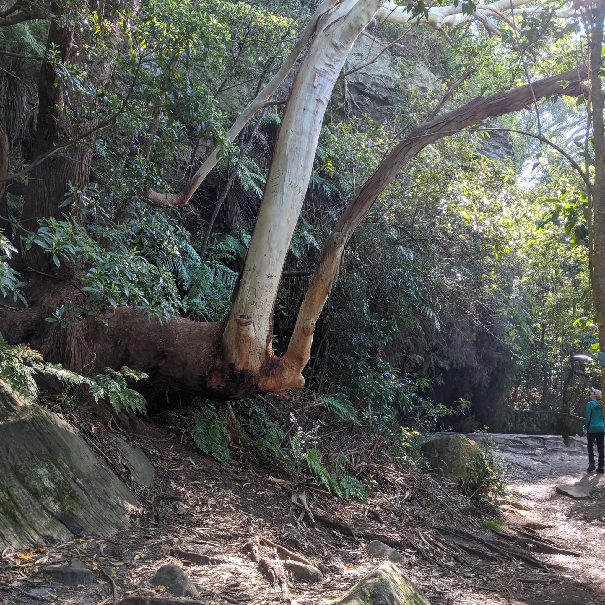
Oatley Park is a large bushland reserve nestled on a peninsula along the Georges River, combining natural forest and open recreational spaces. Walking tracks weave through sandstone outcrops and native vegetation, leading to lookouts, picnic areas, and waterfront access points. The mix of beautiful bushland and river views makes this an ideal place for both short walks and longer explorations.
0
0
Woronora Dam Park is a recreation area set at the base of Woronora Dam, surrounded by bushland. The park has big grassy lawns, shaded picnic areas, and views of the dam wall and reservoir. There are also facilities like picnic tables, shelters, and toilets, and a more low-key feel than some of Sydney's busier parks.
0
0


Great to cycle on with great views. Beware of stairs down and up to pass under at Southern end. Best to go to Northern End and take road down to low level road bridge to cross water to continue to Engadine
0
0
Frequently Asked Questions
How many road cycling routes are available in Wolli Creek Regional Park?
There are over 80 road cycling routes documented in Wolli Creek Regional Park on komoot. These routes cater to various skill levels, with 33 easy, 44 moderate, and 7 difficult options available for exploration.
What kind of terrain can I expect on road cycling routes in Wolli Creek Regional Park?
Road cycling routes in Wolli Creek Regional Park primarily feature paved surfaces, making them suitable for road bikes. The park's unique urban bushland setting means you'll encounter a mix of designated paths and suburban roads, often with minimal elevation gain on easier routes, though more challenging options with greater climbs exist.
Are there any family-friendly road cycling options in the park?
Yes, Wolli Creek Regional Park offers several easy road cycling routes that are suitable for families. These often feature minimal elevation and paved surfaces. For example, the Canterbury Sugar Works loop from Wolli Creek is an easy 7.8-mile (12.5 km) path with minimal elevation, perfect for a quick family ride. The park also has playgrounds and picnic areas like Girrahween picnic area and Turrella Reserve.
What natural features or viewpoints can I see while cycling?
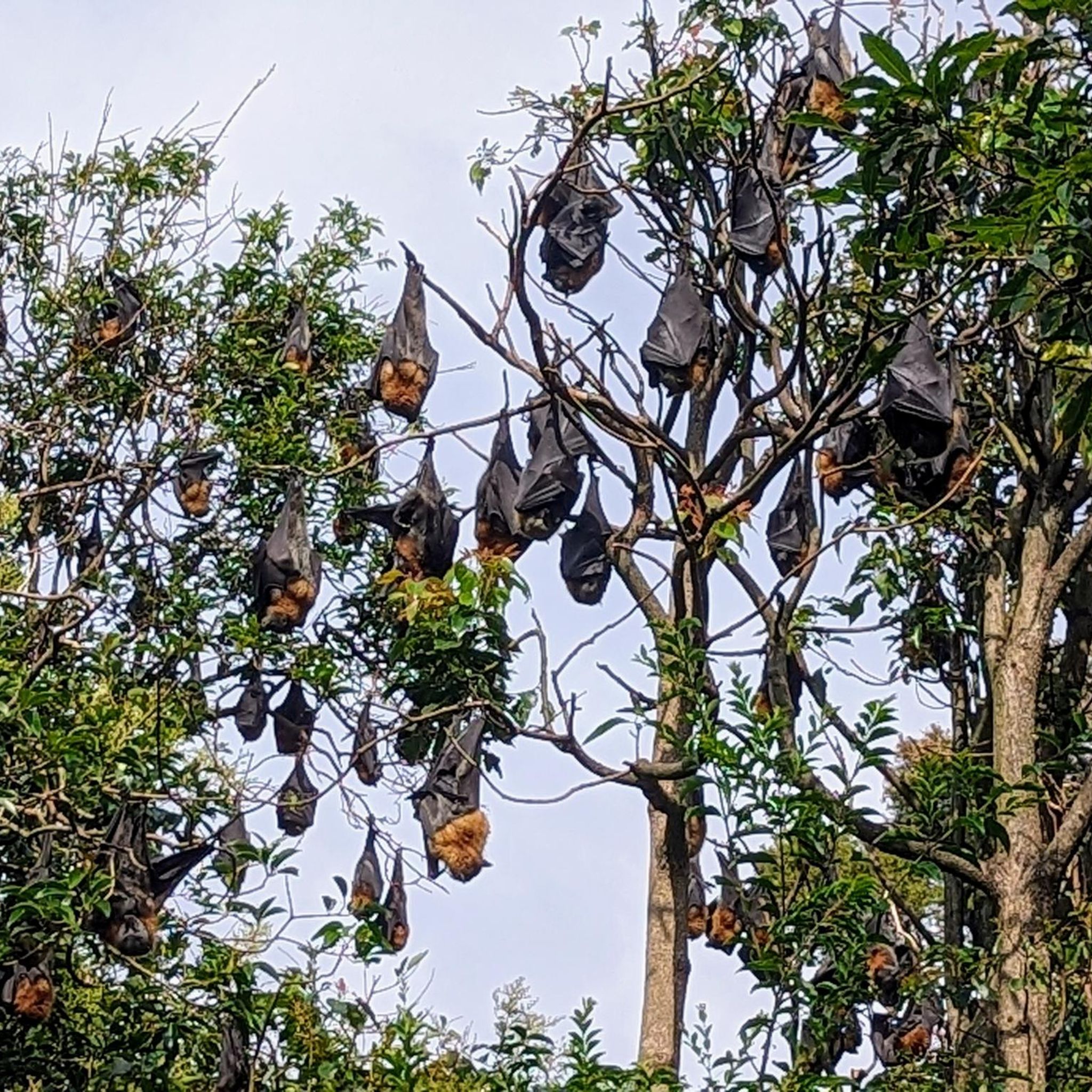
While cycling in Wolli Creek Regional Park, you can experience diverse ecosystems including eucalypt woodlands, wetlands, and mangroves. The park's rugged sandstone escarpments offer scenic views. You might also spot various wildlife, as the park is a haven for birds, amphibians, reptiles, and even a grey-headed flying fox colony.
How accessible is Wolli Creek Regional Park by public transport for cyclists?
Wolli Creek Regional Park is highly accessible by public transport. Train stations at Turrella, Bardwell Park, and Bexley North provide convenient access, allowing cyclists to reach the park easily without needing a car.
Is parking available for road cyclists visiting the park?
Yes, parking is generally available near various access points to Wolli Creek Regional Park. Specific parking areas can be found close to popular entry points and recreational amenities, making it convenient for those who prefer to drive to the starting point of their ride.
What is the best time of year to go road cycling in Wolli Creek Regional Park?
The park is enjoyable for road cycling year-round, but the milder temperatures of spring and autumn often provide the most comfortable conditions. These seasons offer pleasant weather for exploring the diverse landscapes without the intense heat of summer or the cooler, wetter days of winter.
Are there any circular road cycling routes in the area?
Many of the road cycling routes in Wolli Creek Regional Park are designed as loops, allowing you to start and finish at the same point. An example is the Green Pathway with White Poles – Brighton-Le-Sands Beach loop from Wolli Creek, a moderate 23.3-mile (37.5 km) route offering a mix of urban and coastal scenery.
What do other road cyclists enjoy most about the routes here?
The road cycling routes in Wolli Creek Regional Park are highly rated by the komoot community, with an average score of 4.3 stars from over 80 reviews. Cyclists often praise the unique blend of accessible urban bushland, the diverse ecosystems, and the variety of routes that cater to different fitness levels, from easy, flat rides to more challenging paths.
Can I find cafes or amenities near the cycling routes?
Yes, being an urban bushland park, Wolli Creek Regional Park is situated within Sydney's inner southwest, meaning there are various cafes and amenities in the surrounding suburbs. You'll find options for refreshments and supplies in areas like Wolli Creek, Turrella, and Bardwell Park, often conveniently located near route access points.
Are there any longer or more challenging road cycling routes for experienced riders?
For experienced riders seeking a challenge, the park and its surroundings offer longer routes with significant elevation gain. The Alfords Point Bridge – Woronora Bridge Cycleway loop from Bexley North is a difficult 48-mile (77.4 km) route with over 900 meters of elevation gain, providing a substantial workout.
What kind of wildlife might I encounter while cycling in Wolli Creek Regional Park?
Wolli Creek Regional Park is a rich wildlife haven. While cycling, you might spot a variety of native birds, including the Blue Wren and Cormorant, as well as amphibians, reptiles like lizards and skinks, and various mammals. It's a great spot for birdwatching and observing nature within an urban setting.
Are there any specific permits required for cycling in Wolli Creek Regional Park?
Generally, no specific permits are required for recreational cycling on designated paths within Wolli Creek Regional Park. However, it's always a good practice to check the official NSW National Parks and Wildlife Service website for any updated regulations or specific conditions that might apply to certain areas or events. You can find more information at nsw.gov.au.
Most popular routes in Wolli Creek Regional Park

Get inspired with the komoot mobile app


Explore more
Browse the best Road cycling routes in other regions.
