The best cycling routes in Rfpn Quebrada Guadualito Y El Negrito
2.5
(4)
82
riders
4
rides
Touring cycling in Rfpn Quebrada Guadualito Y El Negrito features routes with significant elevation changes, traversing varied landscapes. The region includes areas around Calima Lake and extends into hilly terrain, offering diverse cycling experiences. Routes often pass through rural settings and provide views of the surrounding natural environment.
Best touring cycling routes in Rfpn Quebrada Guadualito Y El Negrito
- The most popular touring cycling route is Campo Alegre – El Coscorrón loop from La Fonda Paisa, a 30.6 miles…
Last updated: July 15, 2026
5.0
(1)
3
riders
51.8km
04:08
970m
970m
Hard bike ride. Very good fitness required. Mostly paved surfaces. Suitable for all skill levels.
5.0
(1)
4
riders
25.4km
01:48
480m
480m
Hard bike ride. Very good fitness required. Mostly paved surfaces. Suitable for all skill levels.

Sign up for free
1.0
(1)
33
riders
53.2km
03:36
860m
860m
Hard bike ride. Very good fitness required. Mostly paved surfaces. Suitable for all skill levels.
1.0
(1)
34
riders
65.8km
04:23
1,030m
1,030m
Hard bike ride. Very good fitness required. Mostly paved surfaces. Suitable for all skill levels.
4
riders
47.1km
04:18
1,310m
1,310m
Hard bike ride. Very good fitness required. Mostly paved surfaces. Suitable for all skill levels.
Our route recommendations are based on thousands of hikes, rides, and runs completed by other people on komoot.
Start today with a free account
Your next adventure awaits.
Login or Signup
Popular around Rfpn Quebrada Guadualito Y El Negrito
Frequently Asked Questions
What is the general difficulty level of touring cycling routes in Rfpn Quebrada Guadualito Y El Negrito?
Touring cycling routes in Rfpn Quebrada Guadualito Y El Negrito are generally challenging, featuring significant elevation changes and varied terrain. All available routes are graded as difficult, making them best suited for experienced cyclists.
Are there any easy or family-friendly touring bike trails in Rfpn Quebrada Guadualito Y El Negrito?
Currently, all touring cycling routes listed for Rfpn Quebrada Guadualito Y El Negrito are graded as difficult due to considerable elevation gains and varied landscapes. There are no easy or family-friendly options available in this selection, so cyclists should be prepared for a demanding ride.
What kind of landscapes can I expect to see while touring cycling in Rfpn Quebrada Guadualito Y El Negrito?
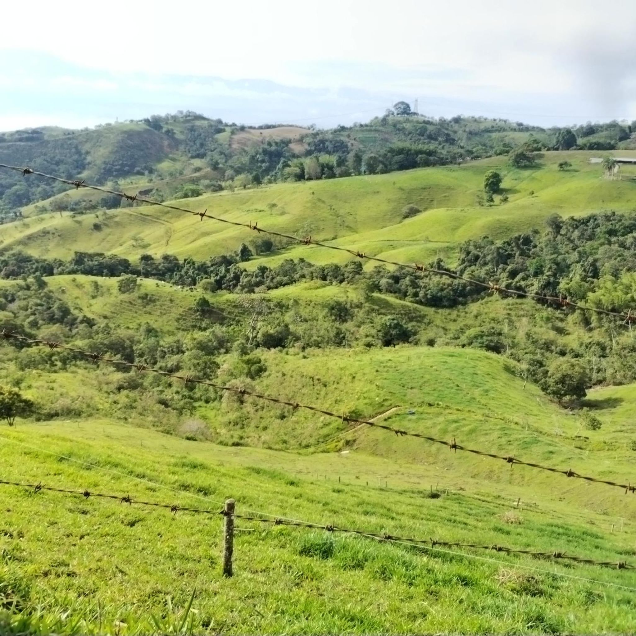
Cyclists can expect to traverse varied landscapes, including rural settings, hilly terrain, and areas around Calima Lake. The routes offer views of the natural environment, providing a diverse and scenic experience.
How long do the touring cycling routes typically take to complete?
The duration of routes varies depending on their length and elevation. For example, the Campo Alegre – El Coscorrón loop from La Fonda Paisa is approximately 30.6 miles (49.3 km) and takes about 4 hours, while the View of Calima Lake loop from Calima Lake is 15.8 miles (25.4 km) and can be completed in about 1 hour 48 minutes.
Are there any circular touring bike trails available?
Yes, several routes are designed as loops. Examples include the Campo Alegre – El Coscorrón loop from La Fonda Paisa, the View of Calima Lake loop from Calima Lake, and the View of Calima Lake – Alto de los Toros loop from Calima El Darién.
What are some of the longer touring cycling routes in the region?
One of the longer routes is the Restrepo Town Center – Alto de los Toros loop from Finca el Agrado, which spans 40.9 miles (65.7 km) with over 1000 meters of elevation gain. Another significant option is the View of Calima Lake – Alto de los Toros loop from Calima El Darién, covering 33.1 miles (53.2 km).
What do other touring cyclists say about the routes in Rfpn Quebrada Guadualito Y El Negrito?
The touring cycling routes in Rfpn Quebrada Guadualito Y El Negrito are rated by the komoot community with an average score of 2.3 stars. Over 80 touring cyclists have explored the varied terrain, often appreciating the challenging nature and scenic views of the region.
Are there routes that offer views of Calima Lake?
Yes, routes like the View of Calima Lake loop from Calima Lake and the View of Calima Lake – Alto de los Toros loop from Calima El Darién specifically feature views of Calima Lake, providing beautiful vistas during your ride.
What should I consider bringing for a touring cycling trip in this region?
Given the difficult grading and significant elevation changes, it's advisable to bring appropriate gear for challenging rides, including sufficient water, snacks, repair kits, and navigation tools. Weather conditions can vary, so layers of clothing are also recommended.
How many touring cycling routes are available in Rfpn Quebrada Guadualito Y El Negrito?
There are 5 touring cycling routes detailed in Rfpn Quebrada Guadualito Y El Negrito, all of which are categorized as difficult due to their elevation profiles and terrain.
What is the route with the most elevation gain?
The Restrepo Town Center loop from Finca el Agrado features the most elevation gain, with over 1300 meters of ascent, making it a particularly demanding ride.
Most popular routes in Rfpn Quebrada Guadualito Y El Negrito

Get inspired with the komoot mobile app


Explore more
Browse the best Cycling routes in other regions.
