The best road cycling routes in Rfpn Quebrada Guadualito Y El Negrito
4.8
(13)
182
riders
4
rides
Road cycling routes in Rfpn Quebrada Guadualito Y El Negrito traverse a diverse landscape within the Valle del Cauca, Colombia. The reserve primarily features humid mountain forest, transitioning to subxerophytic scrubland in its eastern foothills. Key hydrological features like the Yotoco River and Quebrada El Negrito contribute to the area's natural setting. These varied ecosystems provide a dynamic backdrop for road cycling, with routes often featuring ascents and descents through forested and open terrain.
Best road cycling routes in Rfpn…
Last updated: July 15, 2026
5
riders
38.2km
02:16
950m
950m
Hard road ride. Very good fitness required. Mostly well-paved surfaces and easy to ride.
4.7
(6)
69
riders
52.7km
02:39
860m
860m
Moderate road ride. Good fitness required. Mostly well-paved surfaces and easy to ride.

Sign up for free
5.0
(1)
8
riders
53.1km
02:52
1,030m
1,030m
Hard road ride. Very good fitness required. Mostly well-paved surfaces and easy to ride.
4.6
(5)
74
riders
65.5km
03:17
1,030m
1,030m
Hard road ride. Very good fitness required. Mostly well-paved surfaces and easy to ride.
5.0
(1)
26
riders
32.1km
01:33
450m
450m
Moderate road ride. Good fitness required. Mostly well-paved surfaces and easy to ride.
Our route recommendations are based on thousands of hikes, rides, and runs completed by other people on komoot.
Start today with a free account
Your next adventure awaits.
Login or Signup
Popular around Rfpn Quebrada Guadualito Y El Negrito
Tips from the Community

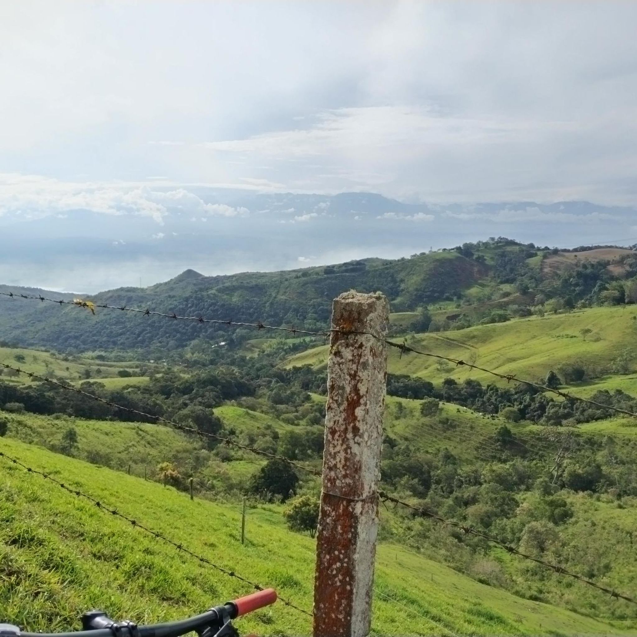
Excellent training site, good road and elevation profile
0
0


Frequently Asked Questions
What kind of terrain can I expect on road cycling routes in Rfpn Quebrada Guadualito Y El Negrito?
The region offers a dynamic mix of landscapes. You'll primarily cycle through humid mountain forests, transitioning to subxerophytic scrubland in the eastern foothills. This varied terrain means you can expect routes with both challenging ascents and exhilarating descents, providing a diverse and engaging cycling experience.
What are the typical difficulty levels for road cycling routes in the area?
Road cycling routes in Rfpn Quebrada Guadualito Y El Negrito cater to various skill levels. You'll find a balanced mix of moderate and difficult routes. For instance, the Alto de los Toros – Quebrada Sonora loop from Calima El Darién is a moderate option, while the Parador La Cicla – View of Lake Calima loop from sos 123 presents a more difficult challenge with significant elevation gain.
Are there any circular road cycling routes available?
Yes, all the road cycling routes listed for Rfpn Quebrada Guadualito Y El Negrito are designed as loops. This allows cyclists to start and finish at the same point, making logistics simpler. Examples include the Calima Lake – View of Lake Calima loop from Calima El Darién and the Calima Lake – Waterfall Near Guatapé loop from Calima El Darién.
What natural features or landmarks can I see along the routes?
The routes often feature stunning natural beauty. You'll encounter key hydrological features like the Yotoco River and Quebrada El Negrito. Several routes, such as the Calima Lake – View of Lake Calima loop from Calima El Darién, offer scenic views of Lake Calima. The diverse ecosystems also provide a backdrop of lush humid mountain forests and drier scrublands.
Can I expect to see any wildlife while road cycling?
Rfpn Quebrada Guadualito Y El Negrito is a biodiversity hotspot. While cycling, you are immersed in an environment rich with 329 species of birds, 81 species of mammals, and numerous amphibians and reptiles. Keep an eye out, especially in the quieter forest sections, for opportunities to spot local fauna.
What do other road cyclists enjoy most about the routes in Rfpn Quebrada Guadualito Y El Negrito?
The area is highly rated by the komoot community, with an average score of 4.8 stars from over 13 reviews. Cyclists often praise the varied terrain, the immersive experience of riding through humid mountain forests, and the scenic views, particularly those overlooking Lake Calima.
Is there parking available for road cyclists?
While specific parking facilities are not detailed for each route, starting points for many routes are often near towns or accessible areas where parking might be available. It's advisable to check local information or the komoot tour details for specific parking recommendations near your chosen starting point, such as Calima El Darién or sos 123.
Are there any permits required to cycle in Rfpn Quebrada Guadualito Y El Negrito?
The Rfpn Quebrada Guadualito Y El Negrito is a National Protective Forest Reserve. While general access for outdoor activities is common, it's always recommended to check the official website of the regional environmental authority (CVC) for any specific permit requirements or regulations for cycling within the protected area. You can find more information at cvc.gov.co.
When is the best time of year to go road cycling in this region?
Given the description of humid mountain forests, the region likely experiences consistent conditions throughout much of the year, but specific 'best times' can depend on rainfall patterns. Generally, drier periods would be more comfortable for road cycling. It's best to check local weather forecasts closer to your planned visit to ensure optimal conditions.
Are there any family-friendly road cycling routes?
The routes in Rfpn Quebrada Guadualito Y El Negrito are generally categorized as moderate to difficult, featuring significant elevation changes. While there are moderate options like the Alto de los Toros – Quebrada Sonora loop from Calima El Darién, these may still be challenging for younger children or beginner family cyclists. It's recommended to assess the elevation profiles and distances carefully to determine suitability for your family's experience level.
Can I find cafes, pubs, or accommodation near the cycling routes?
While specific establishments are not listed within the reserve itself, the starting points for many routes, such as Calima El Darién, are towns that typically offer amenities like cafes, restaurants, and accommodation options. It's advisable to research services in these nearby towns before your trip.
How long do the road cycling routes typically take to complete?
The duration varies depending on the route's length and difficulty. For example, the moderate Calima Lake – Waterfall Near Guatapé loop from Calima El Darién, which is 32.1 km, can be completed in about 1 hour 33 minutes. Longer and more difficult routes, like the 65.5 km Alto de los Toros – Quebrada Sonora loop from Finca el Agrado, may take around 3 hours 16 minutes.
Most popular routes in Rfpn Quebrada Guadualito Y El Negrito

Get inspired with the komoot mobile app


Explore more
Browse the best Road cycling routes in other regions.
