The best cycling routes in Parque Natural Regional Serranía El Peligro
4.8
(8)
45
riders
7
rides
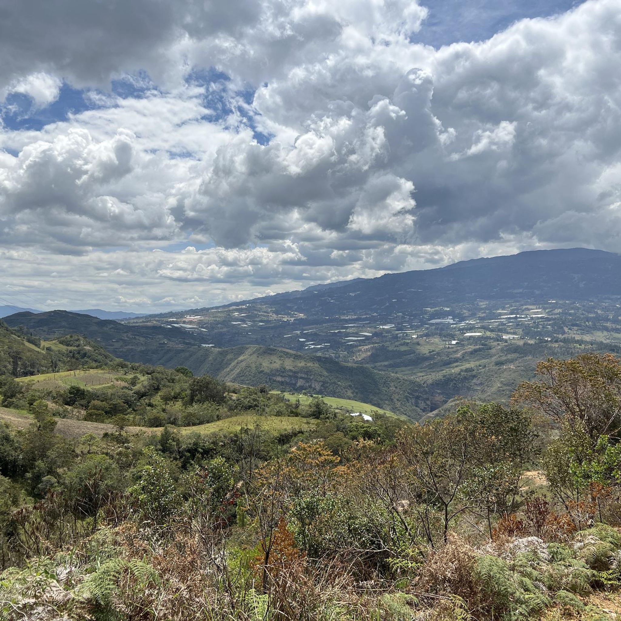
Touring cycling in Parque Natural Regional Serranía El Peligro offers routes through a landscape characterized by broken terrain and deep precipices, some exceeding 500 meters. The region features abundant hydrological resources, including the Fómeca River and numerous cascades. Cyclists traverse extensive natural forests of ancient oak, pine, and eucalyptus. Altitudes range from 2,050 to 2,800 meters above sea level, providing varied elevation profiles.
Best touring cycling routes in Parque Natural Regional Serranía El Peligro
- The most popular touring cycling route…
Last updated: July 11, 2026
4.5
(6)
11
riders
28.3km
02:25
680m
680m
Hard bike ride. Very good fitness required. Mostly paved surfaces. Suitable for all skill levels.
5.0
(1)
12
riders
47.5km
03:23
990m
990m
Hard bike ride. Very good fitness required. Mostly paved surfaces. Suitable for all skill levels.

Sign up for free
8
riders
23.3km
01:57
710m
710m
Hard bike ride. Very good fitness required. Mostly paved surfaces. Suitable for all skill levels.
5.0
(1)
5
riders
91.9km
06:35
1,920m
1,920m
Hard bike ride. Very good fitness required. Mostly paved surfaces. Suitable for all skill levels.
5
riders
14.8km
01:32
520m
520m
Hard bike ride. Very good fitness required. Mostly paved surfaces. Suitable for all skill levels.
Get access to more routes and recommendations from other explorers.
Sign up for free
Already have an account?
Our route recommendations are based on thousands of hikes, rides, and runs completed by other people on komoot.
Start today with a free account
Your next adventure awaits.
Login or Signup
Popular around Parque Natural Regional Serranía El Peligro
Tips from the Community

House of Nairo Quintana. Emblematic meeting point for cyclists where you can find food from the region and souvenirs from Nairo.
0
0

Nairo Quintana's parents' house, at 3110 meters above sea level, welcomes all lovers of this beautiful sport, to rest for a while and have a snack from Monique, with cheeses from the region.
0
0

Small road side cafe and home to Nairo Quintana where his mother still lives. She often comes to say hello to groups of cyclist.
0
0
This is the place where Nairo Quintanas mother lives. There is a small cafe with coffee, snacks and some killer Arepas. If you're lucky Nairos mom will even come out and say hello!
0
0
Frequently Asked Questions
How many touring cycling routes are available in Parque Natural Regional Serranía El Peligro?
There are 9 touring cycling routes available in Parque Natural Regional Serranía El Peligro, all of which are rated as difficult due to the challenging terrain and significant elevation changes.
What kind of terrain can I expect on touring cycling routes in Serranía El Peligro?
The region is characterized by broken terrain, deep precipices, and varied landscapes. Cyclists will encounter a mix of dirt, gravel, and paved country roads, often with challenging climbs and descents. Altitudes range from 2,050 to 2,800 meters above sea level.
Are there any circular touring cycling routes in the park?
Yes, several routes offer circular options. For example, you can explore the Villa de Leyva – The town of Santa Sofia loop from Moniquirá, which is a challenging 48.8-mile (78.5 km) ride. Another option is the Scenic Road to Togüí loop from Moniquirá, a 17.6-mile (28.3 km) path offering scenic views.
What natural features can I see along the cycling routes?
Parque Natural Regional Serranía El Peligro is known as a 'water factory,' so you'll find abundant pure, crystalline water sources and numerous beautiful cascades. The Fómeca River flows through a deep canyon, and you'll cycle through extensive natural forests, including ancient oak, pine, and eucalyptus trees. The high altitudes also offer panoramic viewpoints.
What is the best time of year for touring cycling in Parque Natural Regional Serranía El Peligro?
While specific seasonal recommendations aren't provided, the region's high altitude means weather can be variable. Generally, drier periods would be more suitable for navigating the challenging terrain. Always check local weather conditions before heading out.
Are there any family-friendly touring cycling routes in the park?
Given that all listed touring cycling routes in Parque Natural Regional Serranía El Peligro are rated as difficult with significant elevation changes, they are generally not considered family-friendly for casual rides. These routes are better suited for experienced cyclists looking for a challenge.
What do other touring cyclists say about the routes in Serranía El Peligro?
The routes in Parque Natural Regional Serranía El Peligro are highly rated by the komoot community, with an average score of 4.9 stars from more than 5 reviews. Cyclists often praise the challenging climbs, diverse natural features, and the sense of adventure provided by the broken terrain.
Are there any routes that pass by notable landmarks or points of interest?
While specific landmarks aren't detailed in the route descriptions, the Nairo's House! – Nairo Quintana's House loop from Moniquirá offers a unique point of interest for cycling enthusiasts, connecting to the legacy of a famous Colombian cyclist. The routes generally traverse areas rich in natural beauty, including forests and hydrological features.
Is public transport available to reach the starting points of these routes, especially with a bike?
The main starting point for many routes, such as the The town of Santa Sofia loop from Moniquirá, is Moniquirá. While public transport options like buses exist to Moniquirá and Arcabuco, transporting bikes can sometimes be challenging and may require specific arrangements with the transport provider. It's advisable to check with local operators beforehand.
Are there any permits required for cycling in Parque Natural Regional Serranía El Peligro?
The provided information does not explicitly state permit requirements for general touring cycling within the park. However, as it is a natural regional park, it's always recommended to check with local authorities or the park's official administration (e.g., Corpoboyacá) for any specific regulations or guided tour recommendations, especially for more challenging or sensitive areas.
Where can I find parking near the touring cycling routes?
Many routes, including the Lago Club – Alto El Granadillo loop from Moniquirá, start from Moniquirá. Parking facilities are typically available in the towns and municipalities bordering the park, such as Moniquirá. It's best to plan your starting point and check for secure parking options in advance.
What is the longest touring cycling route available?
The longest touring cycling route listed is the Nairo's House! – Nairo Quintana's House loop from Moniquirá, covering 91.9 miles (147.9 km) with significant elevation gain, making it a demanding ride for experienced cyclists.
Most popular routes in Parque Natural Regional Serranía El Peligro

Get inspired with the komoot mobile app


Explore more
Browse the best Cycling routes in other regions.
