The best MTB trails in Parque Natural Regional Serranía El Peligro
5.0
(30)
101
riders
15
rides
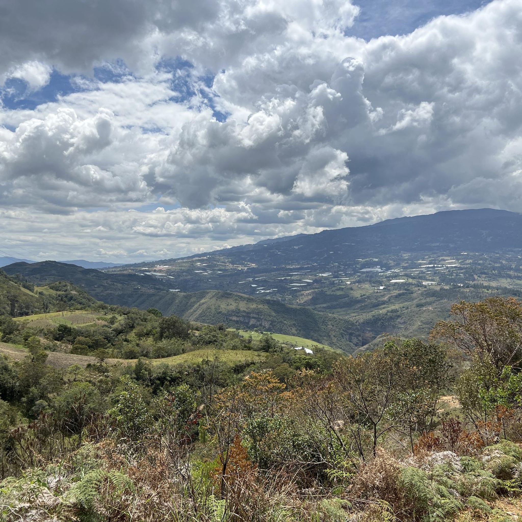
Mountain biking in Parque Natural Regional Serranía El Peligro offers routes through a diverse landscape of well-preserved natural forests, including extensive oak forests. The region spans an altitude range of 2,050 to 2,800 meters above sea level, featuring Andean and high Andean forest ecosystems. These areas are characterized by varied topography and winding roads that traverse lush vegetation, providing a challenging environment for mountain bikers.
Best mountain bike trails in Parque Natural Regional Serranía El Peligro
- The most popular mountain…
Last updated: July 15, 2026
5.0
(1)
26
riders
83.6km
05:47
1,520m
1,520m
Hard mountain bike ride. Very good fitness required. Suitable for all skill levels.
5.0
(2)
15
riders
42.1km
03:03
940m
940m
Hard mountain bike ride. Very good fitness required. Suitable for all skill levels.

Sign up for free
4.8
(23)
10
riders
38.7km
03:12
940m
940m
Hard mountain bike ride. Very good fitness required. Suitable for all skill levels.
7
riders
23.2km
02:05
690m
690m
Moderate mountain bike ride. Good fitness required. Suitable for all skill levels.
8
riders
44.4km
04:46
1,350m
1,350m
Hard mountain bike ride. Very good fitness required. Suitable for all skill levels.
Get access to more routes and recommendations from other explorers.
Sign up for free
Already have an account?
Our route recommendations are based on thousands of hikes, rides, and runs completed by other people on komoot.
Start today with a free account
Your next adventure awaits.
Login or Signup
Popular around Parque Natural Regional Serranía El Peligro
Tips from the Community

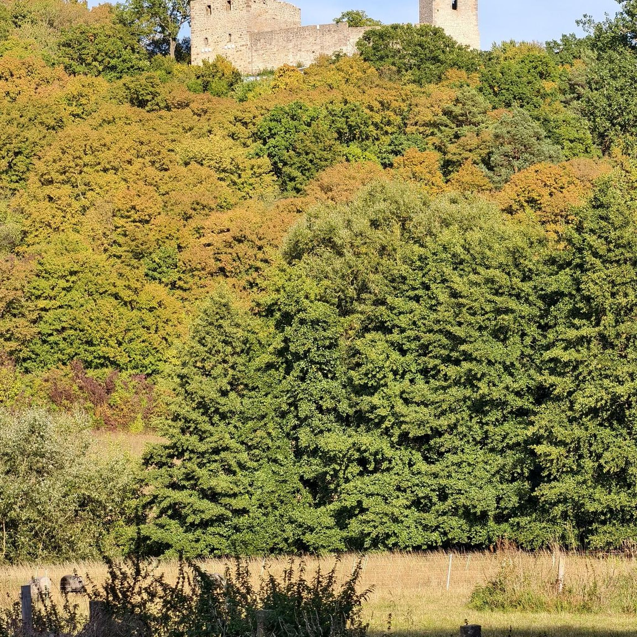
Casa Terracota, often described as the „world's largest ceramic artwork". It is located just outside the historic colonial town of Villa de Leyva. The 500-square-meter house was designed by Colombian architect and environmentalist Octavio Mendoza Morales and built almost entirely by hand. It is made entirely of fired clay (terracotta), without additional supporting materials such as concrete or steel beams. Like a giant clay pot, the entire structure was "fired" at high temperatures to make it resistant to water and earthquakes.
0
0

A place that, although full of tourists, is pleasant for its architecture and its options for rest and visits.
0
0

Unique and unusual architect built house with entertaining tour guide
1
0

Ideal in MTB or GRAVEL, route if it is raining a lot, it is not recommended. BRING GOOD MOSQUITO REPELLENT, because in five seconds they drive you crazy.
0
0

Lovely village with a big courtyard, plenty of restaurants and hotels available. A calm place to take a rest day.
1
0
Frequently Asked Questions
How many mountain bike trails are available in Parque Natural Regional Serranía El Peligro?
There are 16 mountain bike trails recorded in Parque Natural Regional Serranía El Peligro on komoot. These routes offer a diverse range of experiences within the park's unique Andean and high Andean forest ecosystems.
What is the general difficulty level of mountain bike trails in Serranía El Peligro?
The majority of mountain bike trails in Parque Natural Regional Serranía El Peligro are classified as difficult, with 14 out of 16 routes falling into this category. There are also 2 moderate routes available, but no easy trails. Riders should be prepared for significant elevation changes and challenging terrain.
Are there any moderate mountain bike trails for less experienced riders?
Yes, there are a couple of moderate mountain bike trails available. One option is the Lago Club – Alto El Granadillo loop from Moniquirá, which is 23.2 km long and typically takes around 2 hours and 4 minutes to complete. This route offers a less strenuous option while still allowing you to experience the park's natural beauty.
What kind of natural landscapes can I expect to see while mountain biking here?
You can expect to ride through extensive and well-preserved natural forests, particularly oak forests (robledales), which are a significant ecological feature of the region. The park encompasses Andean and high Andean forest ecosystems, offering lush, dense, and humid environments with varied topography and winding paths.
What do other mountain bikers say about the trails in Parque Natural Regional Serranía El Peligro?
The mountain bike trails in Parque Natural Regional Serranía El Peligro are highly regarded by the komoot community, holding an average rating of 4.97 out of 5 stars from over 29 reviews. Riders often praise the challenging terrain, the beauty of the well-preserved forests, and the immersive experience within the Andean ecosystems.
Are there any circular mountain bike routes in the park?
Yes, many of the trails in Parque Natural Regional Serranía El Peligro are designed as circular routes, allowing you to start and end in the same location. Examples include the challenging Alto El Espino loop from Moniquirá and the Alto Mazamorral loop from Moniquirá, both offering immersive experiences through dense forests and Andean ecosystems.
What is the altitude range for mountain biking in this region?
Mountain biking in Parque Natural Regional Serranía El Peligro takes place at altitudes ranging from 2,050 to 2,800 meters above sea level. This high-altitude environment contributes to the challenging nature of the trails and the unique high Andean forest ecosystems you'll encounter.
Is the park known for its biodiversity, and can I expect to see wildlife?
Yes, the park is recognized as a biodiversity hotspot. It is home to various plant and animal species, including endangered ones like the Laurel (Aioues dubia) and certain frog species. With 91 recorded bird species, there are opportunities for wildlife observation and nature photography, especially within the dense forests.
What are some of the longer, more challenging routes available?
For experienced riders seeking a significant challenge, the Casa Terracota – Villa de Leyva loop from Moniquirá is a notable option. This difficult route spans 83.8 km and features substantial elevation changes, typically taking around 5 hours and 46 minutes to complete.
What are the key ecological features of Parque Natural Regional Serranía El Peligro?
The park is distinguished by its extensive and well-preserved oak forests (robledales), which are part of a vital ecological corridor. It also features Andean and high Andean forest ecosystems crucial for hydrological regulation. The conservation status of these forests is highly significant, representing a rare and conserved ecosystem in Colombia.
Are there any other challenging routes besides the longest one?
Absolutely. The Alto de las Cruces loop from Moniquirá is another demanding option. This difficult route covers 44.4 km and involves significant climbing, often taking around 4 hours and 41 minutes to complete, offering a rigorous experience for skilled mountain bikers.
Most popular routes in Parque Natural Regional Serranía El Peligro

Get inspired with the komoot mobile app


Explore more
Browse the best MTB trails in other regions.
