The best running trails in Honolulu Forest Reserve
4.7
(35)
4,400
runners
103
runs
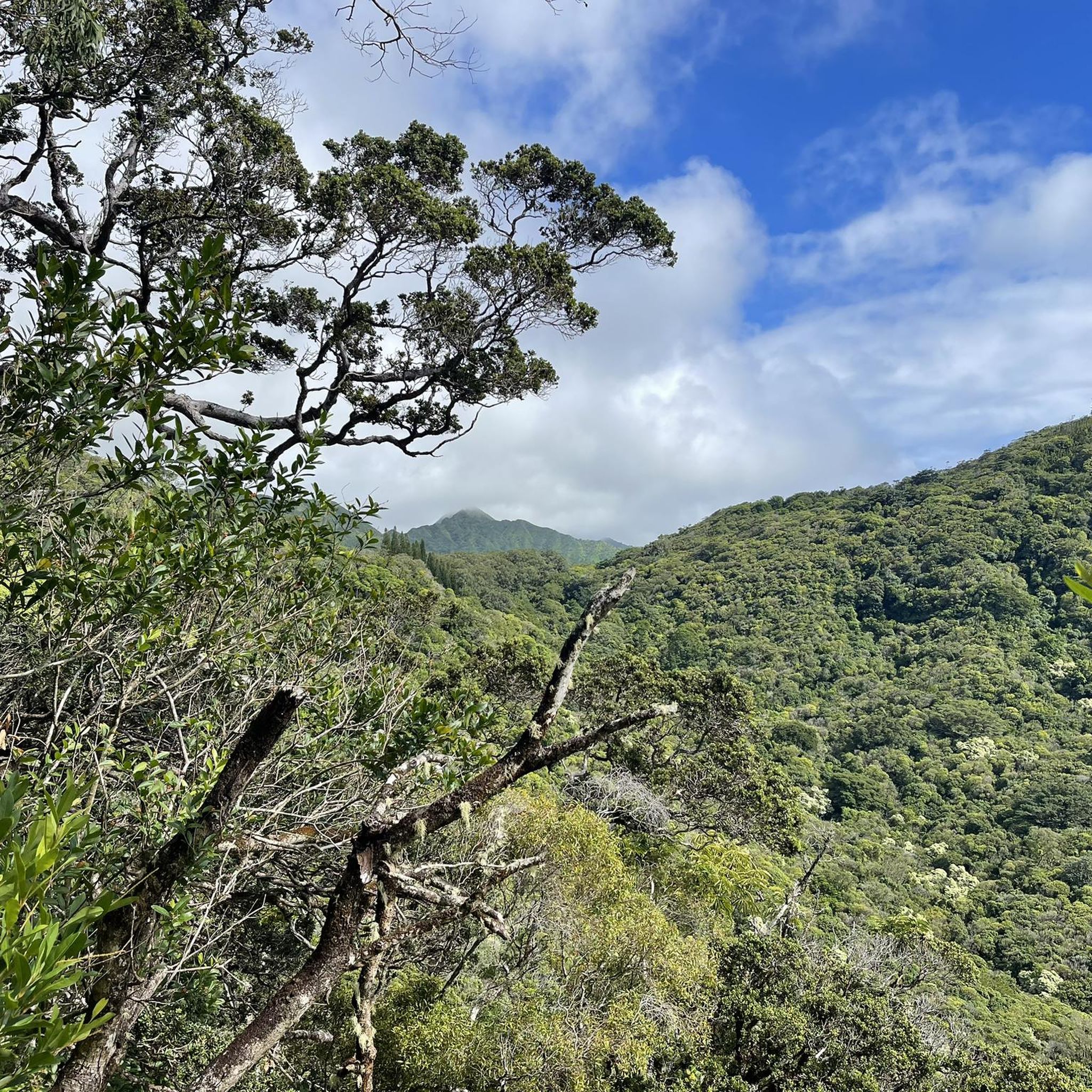
Jogging in Honolulu Forest Reserve offers a diverse landscape for runners, characterized by lush valleys, forested ridges, and varied terrain. The region features a mix of natural trails and more accessible paths, providing options for different fitness levels. These running routes often traverse through dense forest, offering a shaded experience.
Best jogging routes in Honolulu Forest Reserve
- The most popular jogging route is Kamananui Valley Trail – Moanalua Ridge Trail loop from Tripler Army Medical Center, a 10.1 miles…
Last updated: June 25, 2026
17
runners
Hard run. Very good fitness required. Mostly paved surfaces. Suitable for all skill levels.
6.31km
00:39
50m
50m
This moderate, 3.9-mile paved jogging loop on O‘ahu connects the Honolulu Community College area to the Liliha neighborhood.

Sign up for free
15
runners
5.16km
00:34
90m
90m
Moderate run. Good fitness required. Mostly paved surfaces. Suitable for all skill levels.
10
runners
8.56km
00:55
130m
130m
Moderate run. Good fitness required. Mostly paved surfaces. Suitable for all skill levels.
5
runners
Moderate run. Good fitness required. Mostly paved surfaces. Suitable for all skill levels.
Get access to more routes and recommendations from other explorers.
Sign up for free
Already have an account?
Our route recommendations are based on thousands of hikes, rides, and runs completed by other people on komoot.
Start today with a free account
Your next adventure awaits.
Login or Signup
Popular around Honolulu Forest Reserve
Tips from the Community

This unpaved "road" — really, just a nice walking trail — used to be an access point for the Moanalua Ridge Trail, a route up to the "backside" of the Haiku Stairs. That route is now closed and people who've tried to sneak through have gotten tickets, so it's better not to risk it. The early part of the road is interesting in and of itself, though, thanks to interpretive signs that point out natural history and relics.
0
0
Right about here you'll see a side trail on your left. This is the access route for Kalauao Falls, but be warned that the 'Aeia Ridge and Loop trails generally make a much nicer — and less muddy — adventure.
1
0
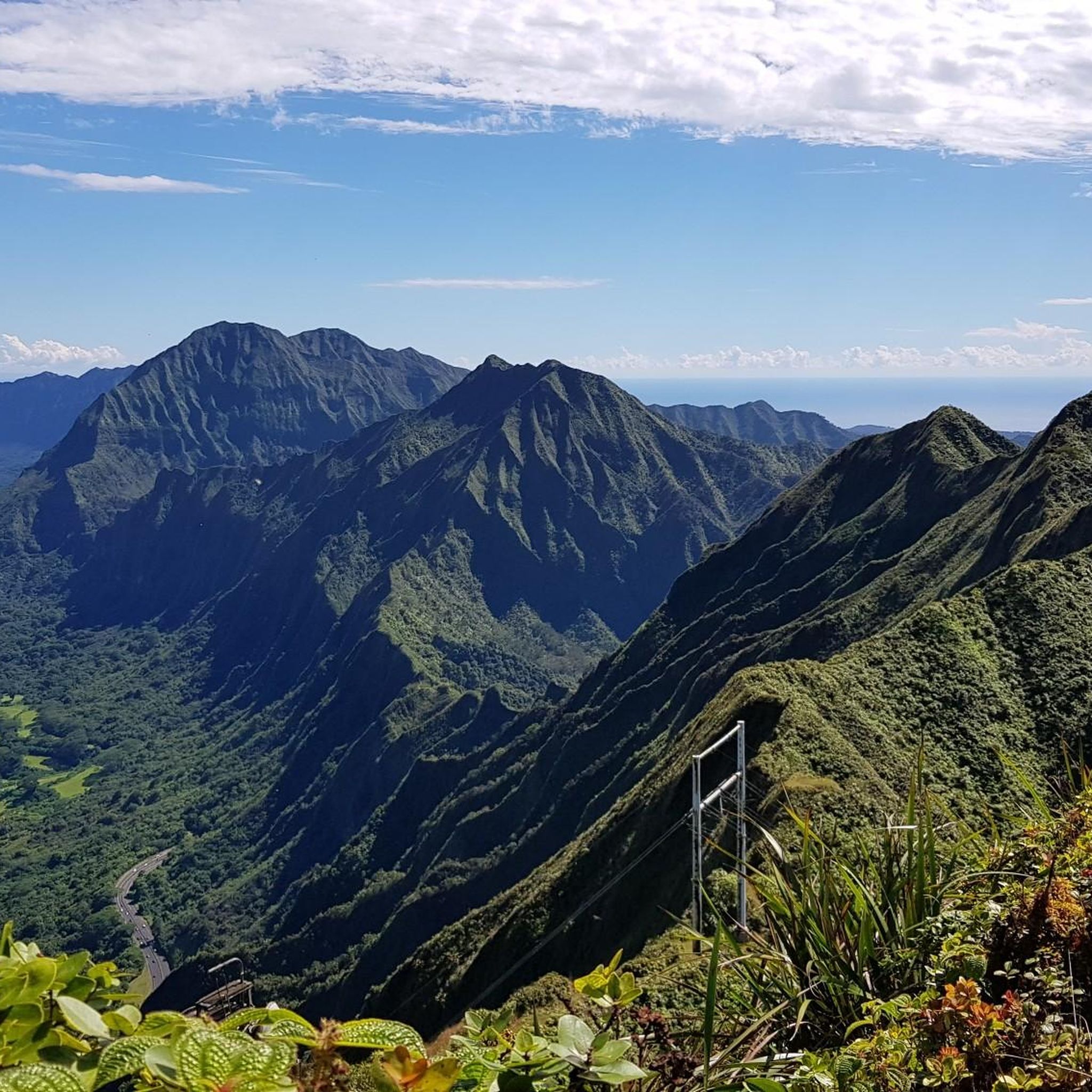
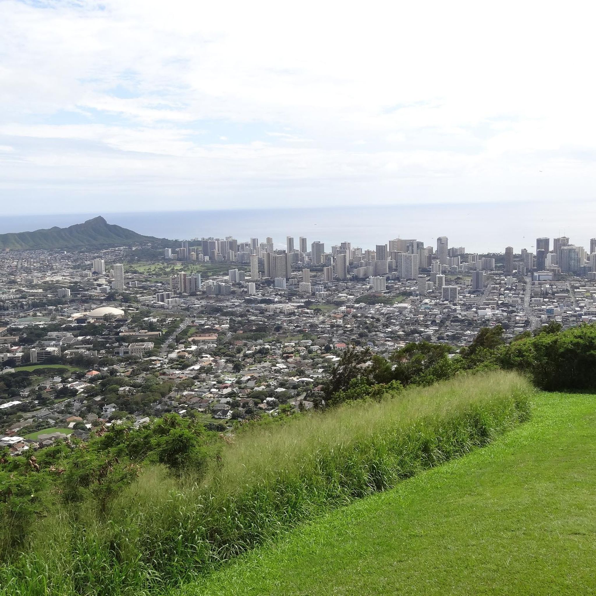
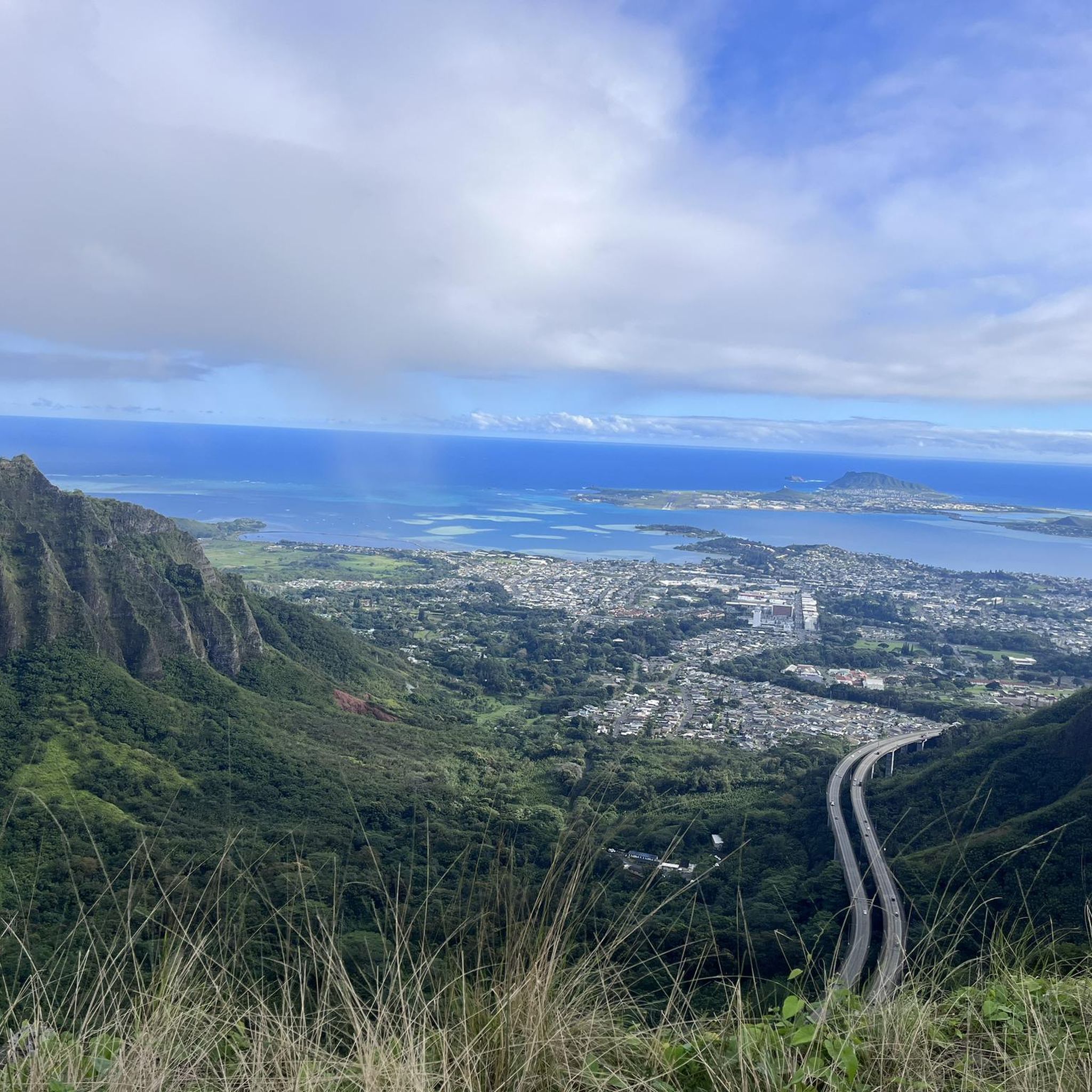
This viewpoint gives you great views of the ruggedly beautiful Halawa Valley to your south. The road running through it is Hawaii's H3 interstate highway. Yes, you read that correctly—it's technically considered an interstate, even though it only traverses the one island. If conditions allow you can even see all the way to the city of Honolulu, also to your south.
1
1
This is one of many points along the 'Aiea Ridge Trail (which transects the 'Aiea Loop) that give a great viewpoint over Pearl Harbor. It's an evocative place, where you can easily imagine what it might have been like to witness the Japanese attack on the harbor that triggered the United States' entrance into World War II.
1
0

The Izumo Taishakyo Mission of Hawaii was established in 1906. This is a great place to appreciate Japanese architecture and pay respect to the culture.
0
0
On this point of the trail you are on the top of a cliff with the Halawa Valley and the highway below. The highway adds a certain element to the view by providing a reference point to show just how big the valley actually is.
0
0
This smooth road is a great place to escape cars and even get some intervals in. The road is opened to cars at 9am, but cyclists and hikers can hit the road well before. Camera and mobile photography is now strictly PROHIBITED on the road because tourists would stand in the middle of the road to take pictures....
0
0
This smooth road is a great place to escape cars and even get some intervals in. The road is opened to cars at 9am, but cyclists and hikers can hit the road well before. Camera and mobile photography is now strictly PROHIBITED on the road bacause tourists would stand in the middle of the road to take pictures....
0
0
Frequently Asked Questions
How many running routes are available in Honolulu Forest Reserve?
There are nearly 100 running routes in Honolulu Forest Reserve, offering a diverse range of options for different fitness levels and preferences.
Are there easy jogging trails for beginners in Honolulu Forest Reserve?
Yes, the reserve features 12 easy jogging routes. These trails are generally flatter and shorter, ideal for those new to running or looking for a relaxed pace.
What are some good moderate-difficulty running trails in the area?
For a moderate challenge, consider the HCC to Liliha loop, which is 3.9 miles (6.3 km) with minimal elevation, or the Running loop from Salt Lake, a 3.2-mile (5.2 km) path through suburban areas. There are 66 moderate routes in total.
Are there any challenging long-distance running routes in Honolulu Forest Reserve?
Yes, for experienced runners seeking a challenge, the Kamananui Valley Trail – Moanalua Ridge Trail loop from Tripler Army Medical Center is a difficult 10.1-mile (16.3 km) route with significant elevation gain. The reserve offers 20 difficult routes in total.
Are there any circular running routes in Honolulu Forest Reserve?
Many routes in the reserve are loops, perfect for a continuous run. Examples include the HCC to Liliha loop and the Aliamanu Road loop from Tripler Army Medical Center, which is 3.7 miles (5.9 km).
What do other runners say about the trails in Honolulu Forest Reserve?
The running routes in Honolulu Forest Reserve are highly rated by the komoot community, with an average score of 4.7 stars from over 30 reviews. Over 4,000 runners have used komoot to explore the varied terrain, often praising the lush, shaded forests and diverse landscapes.
Is the Aiea Loop Trail suitable for jogging?
Yes, the Aiea Loop Trail is a popular moderate-difficulty route for jogging. It's about 4.5 miles (7.2 km) long and offers a scenic experience through the forest.
What kind of terrain can I expect on the running trails?
The terrain varies significantly, from natural dirt paths and forested ridges to more accessible urban paths. You'll encounter lush valleys, dense forests providing shade, and some routes with notable elevation changes.
Are there specific trailheads or access points for these running routes?
Access points vary depending on the route. Many trails, like those starting from Tripler Army Medical Center, have designated trailheads. It's always best to check the specific route details on komoot for precise starting locations and parking information.
What is the best time of year to go jogging in Honolulu Forest Reserve?
Honolulu Forest Reserve offers good running conditions year-round due to its tropical climate. However, mornings are generally cooler and less humid, making them ideal. Be prepared for potential rain showers, especially during the wetter months (typically November to March).
Are the running trails in Honolulu Forest Reserve generally shaded?
Many of the running routes in Honolulu Forest Reserve traverse through dense forest, providing significant shade. This can be a welcome relief from the tropical sun, especially during midday runs.
Most popular routes in Honolulu Forest Reserve

Get inspired with the komoot mobile app


Explore more
Browse the best Running Trails & Routes in other regions.
