The best cycling routes in Burnaby Lake Regional Park
4.5
(390)
3,893
riders
136
rides
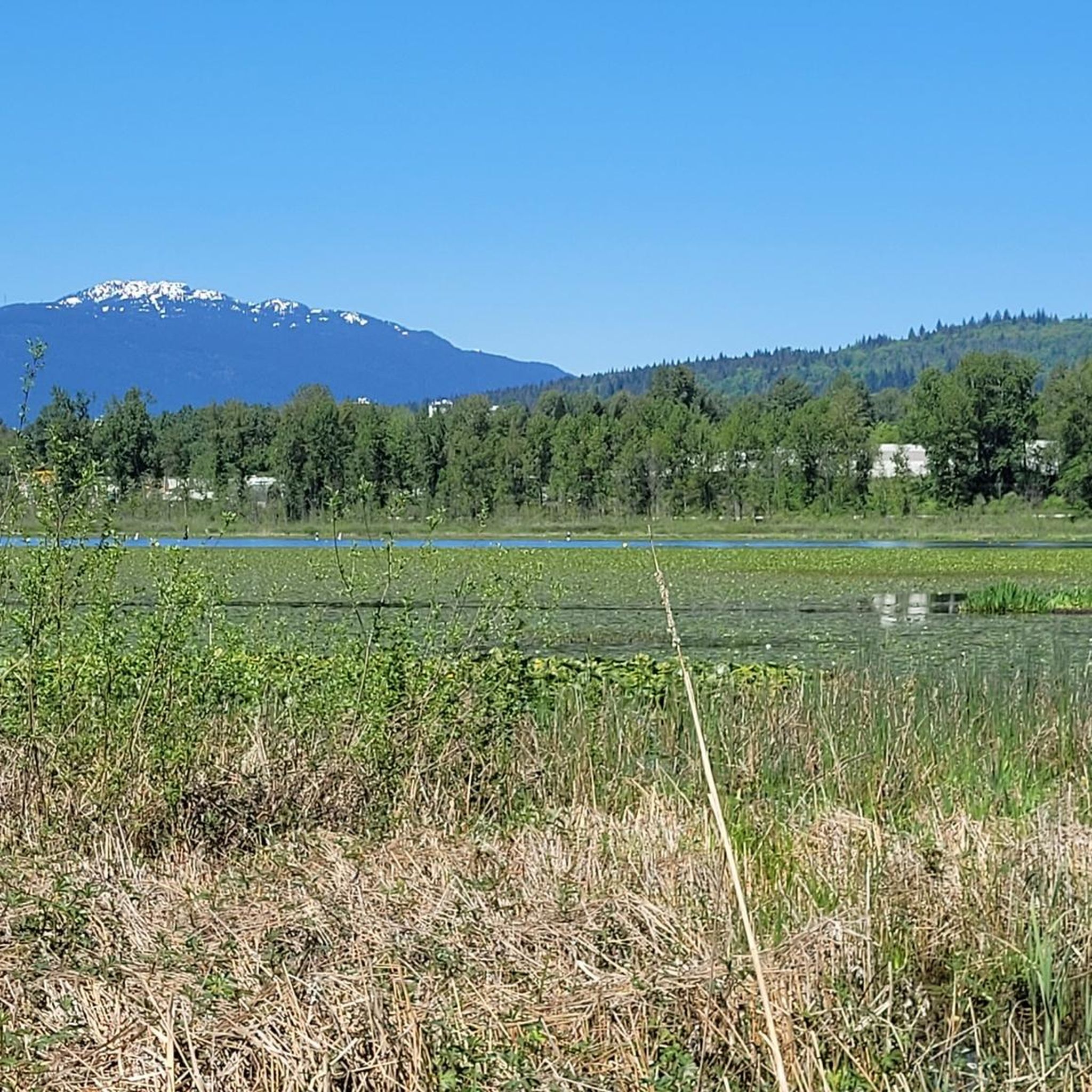
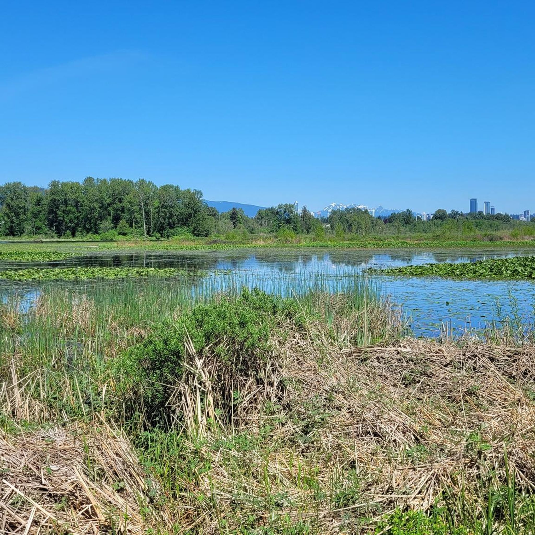
Touring cycling routes in Burnaby Lake Regional Park offer diverse experiences within a significant natural area. The park's central feature is Burnaby Lake, a glacial lake surrounded by extensive marshland and wetlands, providing a rich ecosystem. While the main perimeter trail around the lake is not open to bicycles, designated cycling paths like the Freeway Trail and Avalon Trail exist within the park. These routes connect to broader urban cycling networks, offering varied terrain for cyclists.
Best touring cycling routes in Burnaby Lake Regional Park
- The most popular touring cycling route is John Hendry Park – Science World Vancouver loop from Production Way–University, a 21.3 miles (34.3 km) trail that takes 2 hours 1 minute to complete. This route connects significant urban parks and waterfront areas.
- Another top favourite among local touring cyclists is BC Parkway at John Hendry Park – John Hendry Park loop from Burnaby, a moderate 27.2 miles (43.8 km) path. This route leads through urban greenways and parkland.
- Local touring cyclists also love the Pedestrian and Bicycle Bridge – Port Moody Heron Rookery loop from Sperling–Burnaby Lake, a 19.5 miles (31.4 km) trail leading through urban and natural landscapes, often completed in about 2 hours 1 minute.
- Touring cycling in Burnaby Lake Regional Park is defined by its mix of dedicated bike paths, urban connections, and views of the central lake and surrounding wetlands. The network offers options for easy, moderate, and difficult ability levels.
- The routes in Burnaby Lake Regional Park are highly rated by the komoot community with an average score of 4.5 stars from over 300 reviews. More than 4000 touring cyclists have used komoot to explore Burnaby Lake Regional Park's varied terrain.
Last updated: October 22, 2026
4.7
(7)
110
riders
Moderate bike ride. Good fitness required. Mostly paved surfaces. Suitable for all skill levels.
4.5
(11)
60
riders
40.5km
02:39
300m
300m
Moderate bike ride. Good fitness required. Mostly paved surfaces. Suitable for all skill levels.

5.0
(2)
62
riders
Moderate bike ride. Good fitness required. Mostly paved surfaces. Suitable for all skill levels.
4.0
(1)
13
riders
9.24km
00:33
20m
20m
Easy bike ride. Great for any fitness level. Mostly paved surfaces. Suitable for all skill levels.
4.0
(1)
7
riders
Moderate bike ride. Good fitness required. Mostly paved surfaces. Suitable for all skill levels.
Get access to more routes and recommendations from other explorers.
Already have an account?
Our route recommendations are based on thousands of hikes, rides, and runs completed by other people on komoot.
Start today with a free account
Your next adventure awaits.

Tips from the Community

Nice trails through the park with lots of picnic tables for enjoying a picnic lunch.
0
0

In 2019, the City of Burnaby and the BC Labour Heritage Centre installed a bronze plaque at the site, naming the workers and describing the accident, as a way to acknowledge the dangerous conditions early railway labourers faced. The plaque sits right on the path, so you can read it without leaving the trail.
1
0

Unlike the surrounding forest trails, Powerline Trail follows an open utility corridor across Burnaby Mountain. The cleared route creates wider views and a greater sense of space than the densely wooded sections nearby, offering a different perspective on the conservation area.
0
0

The trail is an easy packed dirt track that is two people wide in most places. It's a pretty tour of the large ferns, mossy trunks, and other flora that this region of BC has to offer.
0
0
Also known as the Harry Jerome Sports Centre, you can play volleyball here and the indoor cycling track has an incredible banked wooden oval. If it's open, the velodrome is well worth a step inside to see the cycling track if nothing else.
0
0

The Velodrome Trail is well known for its iconic wooden steps. The hundreds of stairs cover over 240-metres of elevation gain and are famous for the grueling workout they give hikers. However, the city of Burnaby has closed this section of trail due to erosion and unsafe conditions. As of June 2026 the stairs are closed indefinitely, while a plan is approved for their repair.
0
0
The tin soldier was revealed in 2000 and moved to the pier in 2001, and a time capsule was placed inside it upon its construction. The soldier was modeled after a Royal Engineer, and while it was apparently intended to represent kindness and inclusion, many have instead seen it as a monument to colonisation. In 2025, Brandon Gabriel used light projection to turn the soldier into an indigenous Salish Welcome Figure.
0
0
This 27-hectare park in Vancouver's Cedar Cottage neighbourhood has so much to offer it's no wonder that it is the heart of the neighbourhood. You'll find the usual park offerings like picnic area, playground, and sports fields but there's also Trout Lake in the middle of the park, 2 concession stands, hiking & biking trails, an indigenous medicine garden, and the Trout Lake Community Centre which has it's own wide range of amenities.
0
0
Frequently Asked Questions
How many touring cycling routes are available in Burnaby Lake Regional Park?
There are over 150 touring cycling routes available in and around Burnaby Lake Regional Park on komoot, offering a wide range of experiences for cyclists of all abilities.
What is the general terrain like for touring cyclists in Burnaby Lake Regional Park?
The terrain for touring cyclists in Burnaby Lake Regional Park primarily features flat, dedicated cycling paths and urban connections. While many trails directly around Burnaby Lake are not open to bicycles, routes like the Freeway Trail & Avalon Trail offer smooth, level surfaces. The area also connects to broader urban bike networks, providing varied terrain options.
Are there dedicated cycling paths within Burnaby Lake Regional Park?
Yes, while most trails directly encircling Burnaby Lake are not suitable for bicycles, dedicated cycling opportunities exist. The Freeway Trail & Avalon Trail, spanning 7 kilometers, are open to cyclists and offer flat routes. Additionally, the Winston Avenue bike trail, which is part of the Central Valley Greenway, is a nearby option for cyclists.
What kind of wildlife can I expect to see while cycling near Burnaby Lake?
Burnaby Lake Regional Park is a haven for wildlife. While cycling, especially on paths adjacent to the park, you might spot a variety of birds, including great blue herons, bald eagles, and kingfishers. Beavers and turtles are also common residents, and if you're lucky, you might even see coho salmon or cut-throat trout in the healthy waterways.
What attractions or points of interest are near the cycling routes?
Near the cycling routes, you can explore several attractions. The Burnaby Lake Nature House offers educational exhibits, and the viewing tower near Piper Spit provides excellent birdwatching opportunities. The Piper Spit pier is another great spot for observing the lake's avian inhabitants. The Wildlife Rescue Association is also located at the Glencairn Entrance of the park.
What do other cyclists say about the routes in Burnaby Lake Regional Park?
The touring cycling routes in Burnaby Lake Regional Park are highly regarded by the komoot community, with an average rating of 4.5 stars from over 380 reviews. Cyclists often praise the diverse experiences, from urban landscapes to natural wetlands, and the well-maintained paths that connect various points of interest.
Are there any family-friendly cycling routes in the area?
Yes, many of the routes in and around Burnaby Lake Regional Park are suitable for families, particularly those that utilize the dedicated, flat cycling paths like the Freeway Trail & Avalon Trail. These routes offer a safe and enjoyable experience for cyclists of varying ages and skill levels.
Are there any circular touring cycling routes available?
Yes, there are several circular touring cycling routes. For example, the English Bay Beach – Lions Gate Bridge loop from Production Way–University offers a substantial 56.4 km journey through urban and coastal landscapes. Another option is the BC Parkway at John Hendry Park – John Hendry Park loop from Buckingham Heights, a 43.7 km trail through urban greenways.
How can I access the cycling routes using public transport?
Many cycling routes in the Burnaby Lake area are well-connected to public transport. Routes often start or pass near SkyTrain stations, such as Production Way–University or Sperling–Burnaby Lake, making them easily accessible for cyclists using public transit.
Are there options for shorter, easier touring cycling routes?
Yes, there are plenty of options for shorter and easier touring cycling routes. Out of over 150 routes, 41 are classified as easy, providing gentle rides suitable for beginners or those looking for a relaxed experience. An example is the Barnet Marine Park loop from Production Way–University, which is 17.7 km and offers a moderate but manageable ride.
Can I bring my dog on the cycling trails?
While the park is generally dog-friendly for walkers, specific rules apply to cycling trails. It's best to check local signage and park regulations regarding dogs on dedicated cycling paths. Always ensure your dog is on a leash and that you clean up after them.
Where can I find parking for the cycling routes?
Parking is available at various access points around Burnaby Lake Regional Park. Common parking areas can be found near major entrances and trailheads, often close to public transport hubs like SkyTrain stations, which serve as starting points for many routes.
Are there any cafes or amenities near the cycling routes?
While Burnaby Lake Regional Park itself focuses on natural preservation, there are amenities available in the surrounding urban areas. You'll find cafes, restaurants, and other services in nearby neighborhoods, particularly around the SkyTrain stations that connect to the cycling routes.
Most popular routes in Burnaby Lake Regional Park
Most popular attractions in Burnaby Lake Regional Park

Get inspired with the komoot mobile app


Explore more
Browse the best Cycling routes in other regions.
