The best running trails in Myra-Bellevue Provincial Park
5.0
(2)
719
runners
15
runs
Jogging in Myra-Bellevue Provincial Park offers diverse landscapes, from dry pine forests at lower elevations to subalpine meadows. The park features dramatic geological formations like Myra Canyon and the steep-sided Bellevue Canyon, with trails winding through varied ecosystems. Its extensive network includes multi-use paths and historic routes, providing a range of experiences for runners.
Best jogging routes in Myra-Bellevue Provincial Park
- The most popular jogging route is Lost Lake – SEKID Siphon loop from Bellevue Creek Greenway, a 17.3…
Last updated: October 14, 2026
17
runners
28.9km
03:58
990m
990m
Hard run. Very good fitness required. Mostly accessible paths. Some sure footedness required.
11
runners
9.77km
01:14
280m
280m
Moderate run. Good fitness required. Mostly paved surfaces. Suitable for all skill levels.

6
runners
19.5km
02:36
600m
600m
Hard run. Very good fitness required. Mostly accessible paths. Some sure footedness required.
3
runners
6.62km
00:53
210m
210m
Moderate run. Good fitness required. Mostly accessible paths. Some sure footedness required.
4
runners
12.6km
01:43
490m
490m
Hard run. Very good fitness required. Mostly accessible paths. Some sure footedness required.
Get access to more routes and recommendations from other explorers.
Already have an account?
Our route recommendations are based on thousands of hikes, rides, and runs completed by other people on komoot.
Start today with a free account
Your next adventure awaits.
Popular around Myra-Bellevue Provincial Park

Other adventures in Myra-Bellevue Provincial Park

Tips from the Community

Lower Bench runs parallel to its upper counterpart, closer to the valley floor. This wide, hard-packed doubletrack trail is loved by hikers, dog walkers, and mountain bikers looking for an easier, low-intensity cruise. It's also a return route to the main Stewart Road East parking lot. The trail is also known for more loose “kitty litter” gravel and springtime bloom of vibrant blankets of yellow Arrowleaf balsamroot wildflowers.
0
0
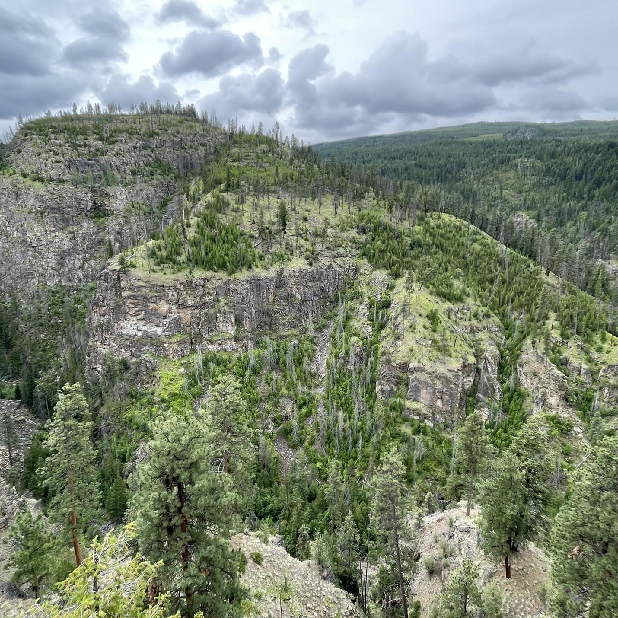
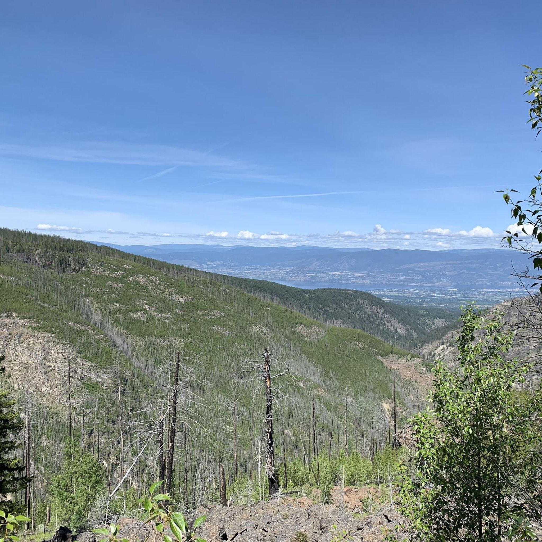
Upper Bench is a doubletrack trail that connects several of Myra-Bellevue Provincial Park's more technical downhill runs. It cuts through a resilient pocket of Douglas fir alongside the skeletal tree snags left behind by the historic 2003 Okanagan Mountain Park wildfire. Because of its exposure, travelling along Upper Bench treats hikers and bikers to unobstructed views of the valley below.
0
0
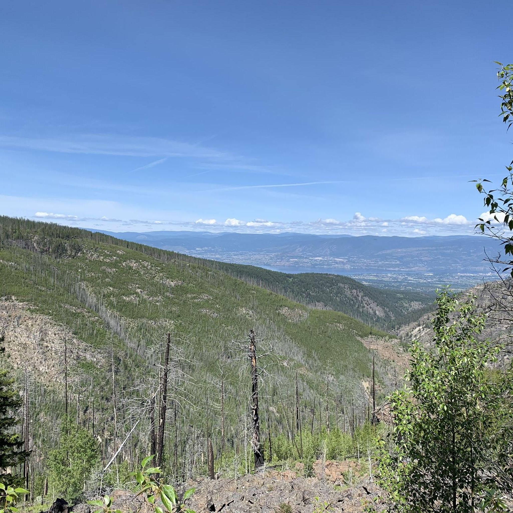
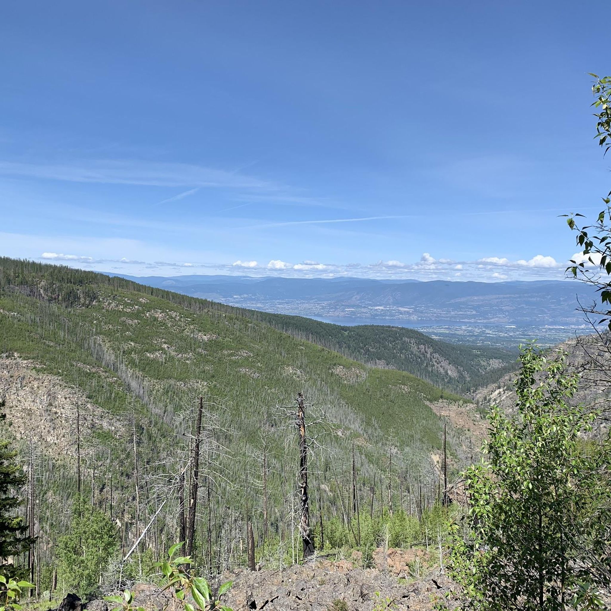
The Fairlane Trail is a blue singletrack trail that cuts horizontally across the mountain slopes. For mountain bikers, it's used as a downhill-only corridor with a mix of flowy sections and minor technical elements, loose dirt, and optional small rock drops. For hikers and trail runners, it is frequently combined with other trails to explore the open ponderosa pine forests with view points over Okanagan Lake and Kelowna valley.
0
0
Frequently Asked Questions
How many running routes are available in Myra-Bellevue Provincial Park?
Myra-Bellevue Provincial Park offers a wide selection of running routes. Our guide features 15 distinct jogging routes, ranging from moderate to difficult, ensuring options for various fitness levels. Over 800 runners have already used komoot to explore the park's diverse terrain.
Are there running routes suitable for beginners or those looking for an easier run?
While many routes in Myra-Bellevue Provincial Park are rated moderate to difficult, the historic Kettle Valley Rail Trail (especially the Myra Canyon section) offers a virtually flat grade, making it excellent for beginners or a relaxed run. This section features 18 restored wooden trestles and two tunnels, providing a scenic and accessible experience.
What natural features or landmarks can I see while running in the park?
Runners in Myra-Bellevue Provincial Park can enjoy a variety of stunning natural features and landmarks. Highlights include the dramatic Myra Canyon, the iconic Myra Canyon Wooden Trestle Bridges, and the scenic Bellevue Canyon. You might also encounter diverse forests, from Ponderosa pine to sub-alpine fir, and potentially spot wildlife in the higher elevations near Little White Mountain.
Can I run on the historic Kettle Valley Railway Trail in Myra-Bellevue Provincial Park?
Yes, the Kettle Valley Rail Trail is one of the most famous and accessible sections for running in the park. The 12.5 km (one-way) Myra Canyon section is particularly popular, featuring 18 restored wooden trestles and two tunnels. Its gentle, crushed gravel path makes it suitable for all ages and fitness levels, offering spectacular views of the canyon and Okanagan Valley.
Are there circular running routes available in Myra-Bellevue Provincial Park?
Yes, the park offers several excellent circular running routes. For example, the Lost Lake – Rose Lookout loop from Cattleguard Junction is a moderate 9.7 km (6.0 miles) path that provides scenic views and a mix of forest and grassland. Another popular option is the Rose Lookout loop from Bellevue Creek Greenway, also 9.7 km (6.0 miles), leading through varied park landscapes.
Is parking available for runners in Myra-Bellevue Provincial Park?
Yes, parking is available at various access points to the park's trail network. A key trailhead for the Kettle Valley Rail Trail is Myra Station - Kettle Valley Trailhead. Other areas like Bellevue Creek Greenway also serve as starting points for many routes, offering convenient access for runners.
When is the best time of year to go running in Myra-Bellevue Provincial Park?
Myra-Bellevue Provincial Park is generally accessible year-round, but the best time for running is typically from mid-April to November 15th when services are fully available. During these months, the weather is most favorable, and the trails are clear. However, some sections of the KVR trail are even used for snowshoeing or fatbiking in winter, offering unique cold-weather running opportunities for those prepared.
Are dogs allowed on the running trails in Myra-Bellevue Provincial Park?
Yes, dogs are generally welcome on the trails in Myra-Bellevue Provincial Park. However, it's important to keep them on a leash and ensure you clean up after them to preserve the natural environment and respect other trail users. Always check for specific signage on individual trails regarding pet regulations.
Are there family-friendly running paths in the park?
Absolutely! The Kettle Valley Railway Trail, particularly the Myra Canyon section, is highly recommended for families. Its flat, wide, and well-maintained crushed gravel path is suitable for all ages and fitness levels, including those with strollers or younger children. The scenic trestles and tunnels provide an engaging experience for everyone.
What do other runners enjoy most about jogging in Myra-Bellevue Provincial Park?
The running routes in Myra-Bellevue Provincial Park are highly rated by the komoot community, with an average score of 5.0 stars. Runners frequently praise the park's diverse landscapes, from dry pine forests to subalpine meadows, and the historical significance of the Kettle Valley Railway Trail. The stunning views of Myra Canyon and the Okanagan Valley are also a consistent highlight.
What is the longest running route featured in this guide?
The longest running route in our guide is the Lost Lake – SEKID Siphon loop from Bellevue Creek Greenway. This challenging trail spans 27.9 km (17.3 miles) and involves significant elevation changes, making it ideal for experienced runners looking for a longer, more demanding workout.
Can I find routes with significant elevation gain for a challenging run?
Yes, Myra-Bellevue Provincial Park offers several routes with substantial elevation gain for a challenging running experience. The Lost Lake – SEKID Siphon loop from Bellevue Creek Greenway, for instance, features over 950 meters of elevation gain, traversing varied terrain within the park's extensive network. The Crawford Trails also offer more rugged paths with roots, rocks, and ascents.
Most popular routes in Myra-Bellevue Provincial Park
Most popular attractions in Myra-Bellevue Provincial Park

Get inspired with the komoot mobile app


Explore more
Browse the best Running Trails & Routes in other regions.
