The best MTB trails in Blikastaðakró - Leiruvogur
4.4
(17)
296
riders
17
rides
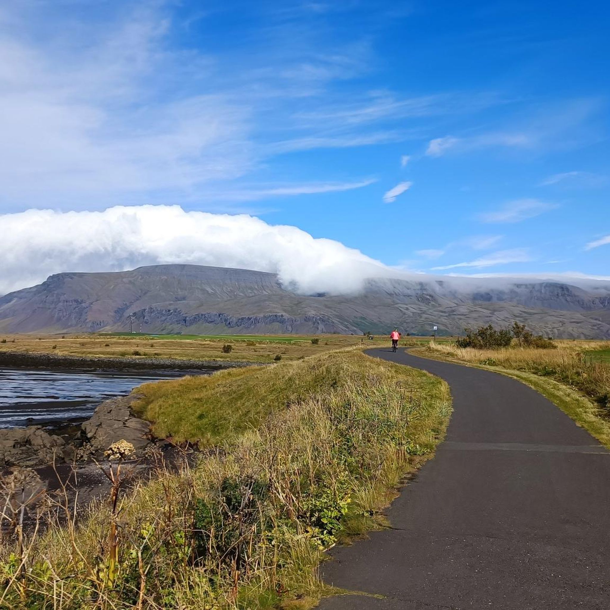
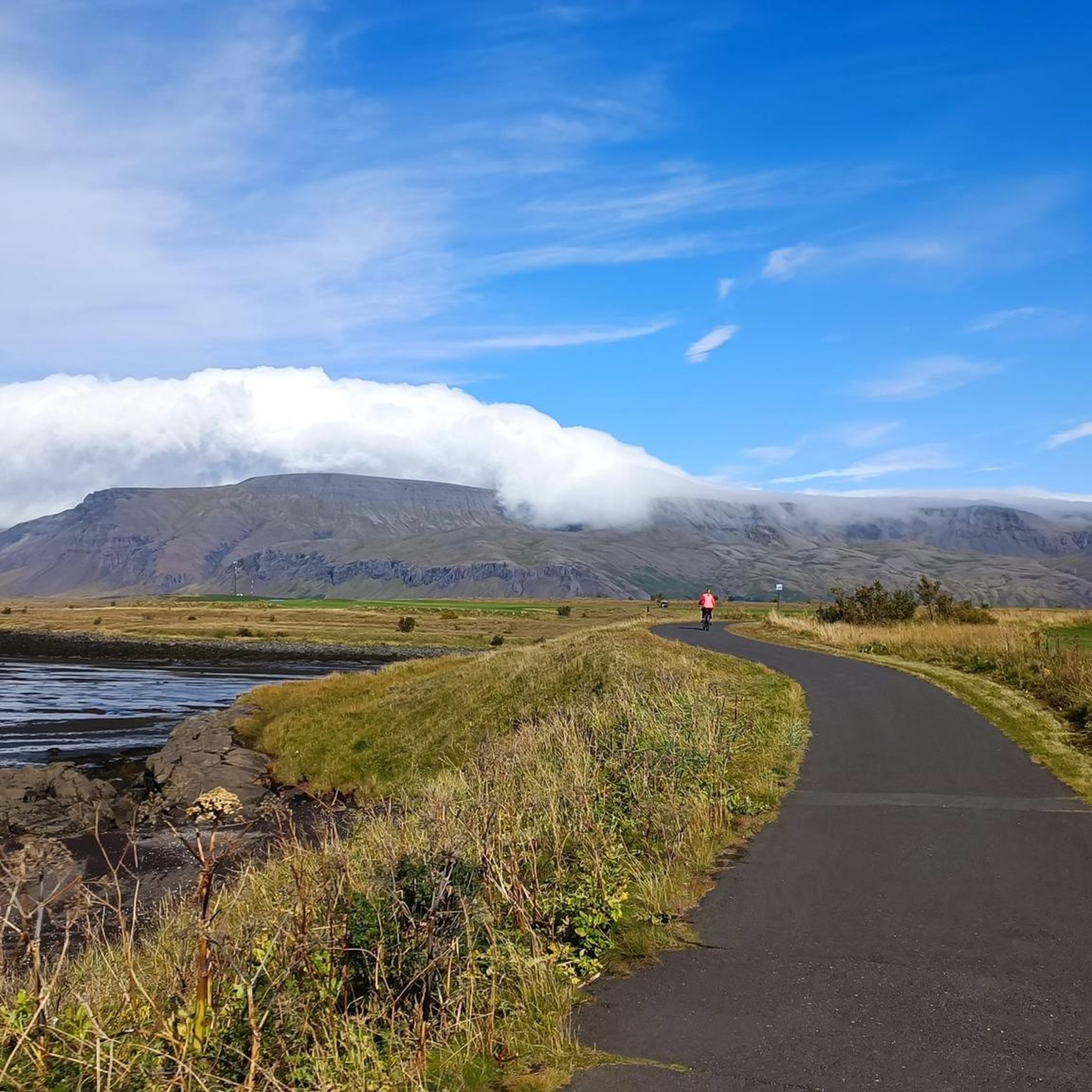
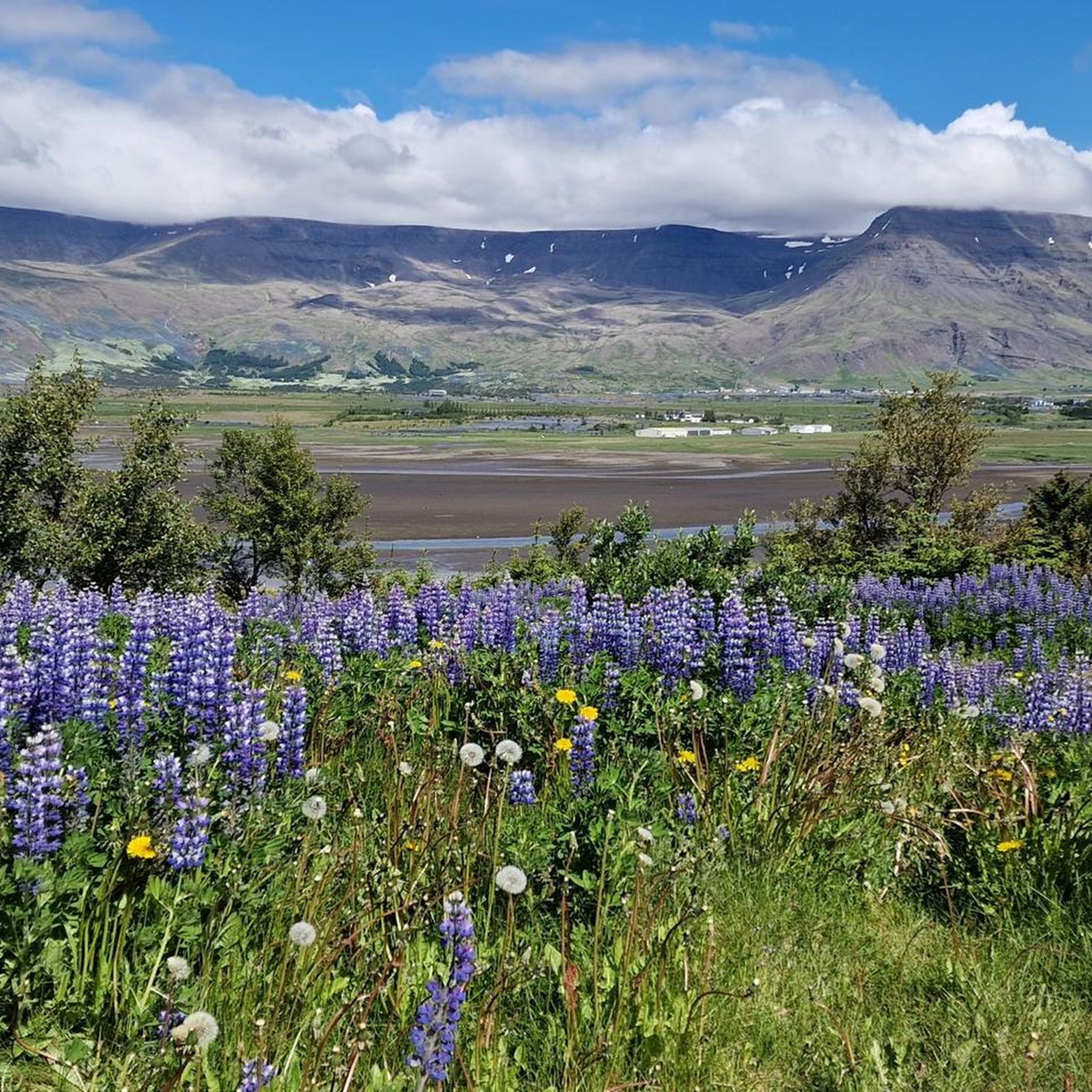
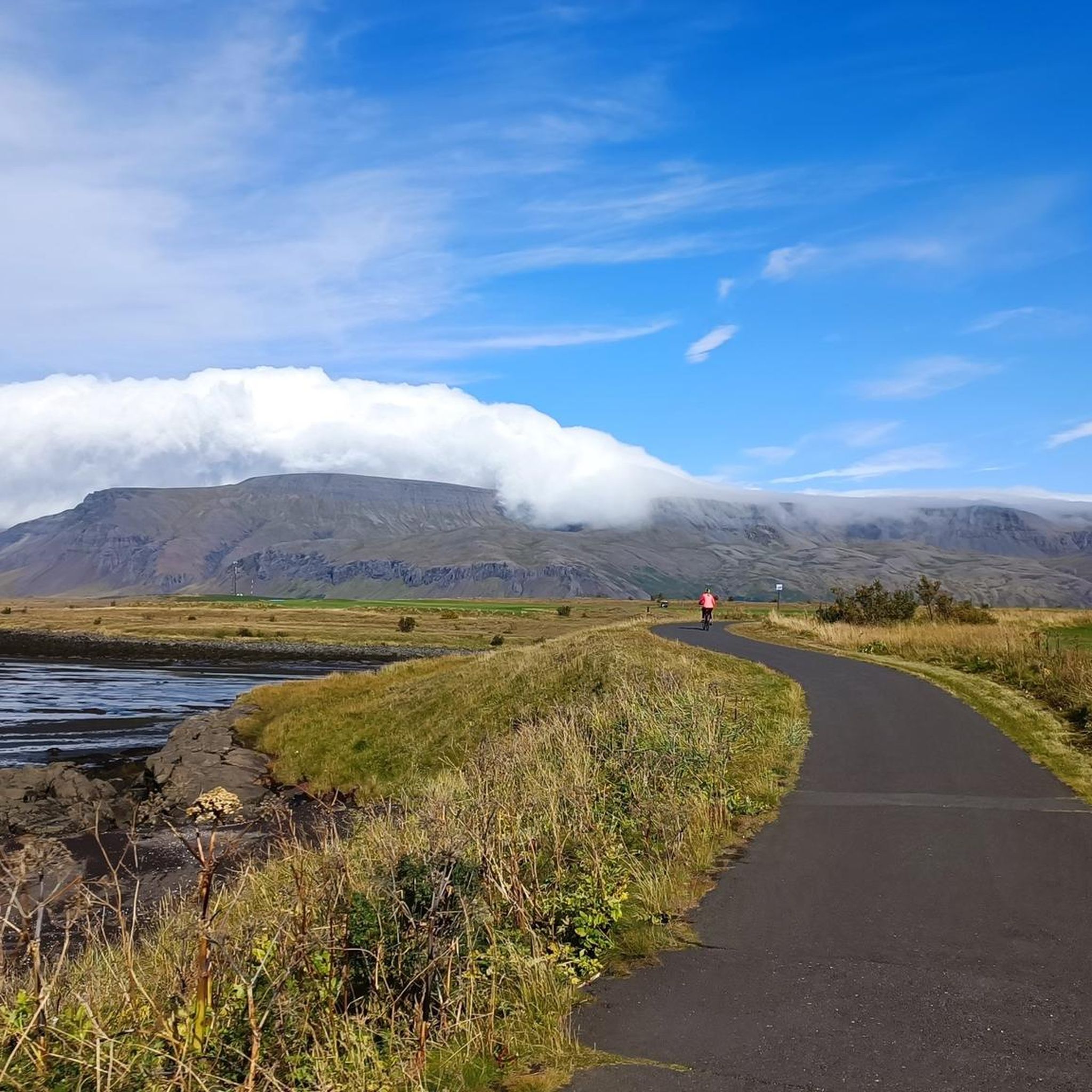
Mountain bike trails in Blikastaðakró - Leiruvogur offer diverse terrain within Iceland's unique landscape. The area features a natural harbor at Leiruvogur Bay, contributing to varied coastal views and potentially dynamic riding surfaces. Riders can expect to encounter geological features such as lava fields, ash, boulders, and sand, characteristic of the region's volcanic origins. These elements create a dynamic and engaging environment for mountain bikers, with routes catering to various skill levels.
Best mountain bike trails in Blikastaðakró - Leiruvogur
…Last updated: June 28, 2026
9
riders
27.4km
02:04
260m
260m
Moderate mountain bike ride. Good fitness required. Suitable for all skill levels.
5
riders
18.8km
01:04
160m
160m
Easy mountain bike ride. Great for any fitness level. Suitable for all skill levels.

Sign up for free
3
riders
30.5km
02:05
270m
270m
Moderate mountain bike ride. Good fitness required. Suitable for all skill levels.
4.8
(6)
49
riders
33.6km
02:19
230m
230m
Moderate mountain bike ride. Good fitness required. Suitable for all skill levels.
15
riders
Easy mountain bike ride. Great for any fitness level. Suitable for all skill levels.
Get access to more routes and recommendations from other explorers.
Sign up for free
Already have an account?
Our route recommendations are based on thousands of hikes, rides, and runs completed by other people on komoot.
Start today with a free account
Your next adventure awaits.
Login or Signup
Tips from the Community

It's a nice and easy walk to get here. Recommend.
0
0

Founded around 874 by Ingólfur Arnarson, Reykjavík is Iceland's oldest permanent settlement. Its name means "smoke bay," a reference to the surrounding geothermal fumes. However, the city remained largely insignificant and consisted of farms until the 18th century. The key turning point came in 1786, when Denmark granted the settlement city rights, making it a center of the wool industry and trade. Today, Reykjavík is the capital of Iceland and an important center for culture and politics. Early Settlement and Naming (c. 874 AD) First Settler: The Norse settler Ingólfur Arnarson is considered Iceland's first permanent resident. He settled in the area that is now Reykjavík around 874. Naming: Arnarson named the settlement Reykjavík ("Smoke Bay") because he saw the steam from the surrounding hot springs and mistakenly thought it was smoke.
0
0
As of August 18, 2025: Iceland experienced its twelfth volcanic eruption in just over four years. On the sparsely populated Reykjanes Peninsula, southwest of Reykjavik, the earth opened up again on Wednesday, July 16. Since Tuesday, August 5, no more lava has been escaping from the eruption fissure located approximately seven kilometers northeast of Grindavik. Volcanologists believe it is highly likely that the eruption has ended for the time being. The temporarily closed campsite in the town of Grindavik is now freely accessible again.
1
0
Really impressive in the old lava fields
1
0
Reykjavík [ˈreikjaˌviːk] ⓘ is the capital of Iceland and the northernmost capital city in the world (latitude 64° 08' N, 269 kilometers south of the Arctic Circle). The city forms the municipality of Reykjavíkurborg (Icelandic: "City of Reykjavík") with some rural areas and several islands. Reykjavíkurborg is by far the largest municipality in the municipality association Höfuðborgarsvæðið (literally: "the capital area" or "capital area"), which comprises seven other municipalities. At the beginning of 2024, a total of 136,894 people lived in this densely populated municipality association.[1] Wikipedia
2
1

Árbær was an established farm well into the 20th century, and the museum opened there in 1957. Árbær is now an open air museum with more than 20 buildings which form a town square, a village and a farm. Most of the buildings have been relocated from central Reykjavik. Árbær Open Air Museum tries to give a sense of the architecture and way of life and lifestyles of the past in Reykjavík and during summer visitors can see domestic animals. There are many exhibitions and events held at the Museum which highlight specific periods in Reykjavik's history. These include craft days, vintage car displays, Christmas exhibitions and much more. There is something for everyone at Árbær Open Air Museum. (https://visitreykjavik.is/arbaer-open-air-museum)
3
0

The fissure is surrounded by ancient lava flows that have cooled and solidified, forming a rugged, rocky landscape. Despite the volcanic terrain, the area is home to a surprising amount of vegetation adapted to lava soil, as well as birds and other animals typical of Iceland.
2
0
It is a unique geological feature located near Reykjavik in Iceland. It is a canyon formed by a volcanic fissure in the Hafnarfjörður region on the Reykjanes Peninsula. It is a fascinating place for both its geology and natural beauty. Near Búrfellsgjá is the Búrfell crater, which is an impressive volcanic feature in itself. This crater is almost perfectly shaped and offers a closer look at the volcanic activity that formed the region.
2
0
Frequently Asked Questions
How many mountain bike trails are available in Blikastaðakró - Leiruvogur?
There are over 20 mountain bike trails in Blikastaðakró - Leiruvogur, offering a wide range of experiences. Half of these routes are rated as easy, while the other half are moderate, ensuring options for various skill levels.
What kind of terrain can I expect on mountain bike trails in Blikastaðakró - Leiruvogur?
Mountain biking in Blikastaðakró - Leiruvogur offers a diverse and unique landscape. Riders can expect to encounter volcanic terrain, including lava fields, ash, boulders, and sand. The area also features coastal paths along Leiruvogur Bay, providing varied surfaces and scenic views. Some trails may include technical sections with slippery rocks, rock chutes, and small bridges.
Are there any easy mountain bike trails suitable for beginners in Blikastaðakró - Leiruvogur?
Yes, Blikastaðakró - Leiruvogur has 10 easy mountain bike trails perfect for beginners or those looking for a gentler ride. An example is the Árbær Open Air Museum loop from Reynisvatn, an 18.8 km path that provides a scenic and accessible experience.
Are there any circular mountain bike routes in Blikastaðakró - Leiruvogur?
Many of the mountain bike trails in Blikastaðakró - Leiruvogur are circular, allowing you to start and end at the same point. A popular moderate circular route is the Reynisvatn loop from Blikastaðakró - Leiruvogur, which covers 27.3 km around Reynisvatn lake.
What do other mountain bikers enjoy most about the trails in Blikastaðakró - Leiruvogur?
The mountain bike trails in Blikastaðakró - Leiruvogur are highly rated by the komoot community, with an average score of 4.4 stars. Riders often praise the unique volcanic landscapes, the varied terrain, and the options available for different skill levels, from easy paths to more challenging ascents.
Are there any trails that pass by notable natural features or landmarks?
Yes, the region's volcanic origins mean many trails offer unique geological sights. For instance, the Búrfellsgjá Lava Fissure loop from Fjölbrautaskólinn í Breiðholti takes you through fascinating volcanic terrain. Additionally, the Elliðaár Waterfall – Forest Path loop from Laugardalsvöllur offers views of a waterfall and forest scenery.
What is the best time of year for mountain biking in Blikastaðakró - Leiruvogur?
Given Iceland's climate, the best time for mountain biking in Blikastaðakró - Leiruvogur is typically during the warmer months, from late spring to early autumn (May to September). During this period, trails are generally free of snow and ice, and the weather is more favorable for outdoor activities. Always check local weather conditions before heading out.
Are the mountain bike trails in Blikastaðakró - Leiruvogur suitable for families?
Yes, with 10 easy routes available, Blikastaðakró - Leiruvogur offers family-friendly mountain biking options. These gentler paths are suitable for less experienced riders, allowing families to enjoy the unique Icelandic landscape together. Always choose a route appropriate for the youngest or least experienced rider in your group.
Is there public transport access to the mountain biking areas in Blikastaðakró - Leiruvogur?
While specific public transport details for Blikastaðakró - Leiruvogur are not provided, the area is part of the broader Reykjavík region. Public transport options, such as buses, may connect to areas near trailheads. It is advisable to research local bus routes and schedules to plan your access to specific starting points.
Are dogs allowed on the mountain bike trails in Blikastaðakró - Leiruvogur?
Many outdoor trails in Iceland are dog-friendly, but regulations can vary. It's generally recommended to keep dogs on a leash to protect local wildlife and ensure the safety of other trail users. Always check specific trail signage or local guidelines regarding pets before you go.
What is the longest moderate mountain bike trail in the area?
The longest moderate mountain bike trail listed is the Elliðaár Waterfall – Forest Path loop from Laugardalsvöllur, which spans approximately 33.2 km and typically takes around 2 hours and 18 minutes to complete.
Most popular routes in Blikastaðakró - Leiruvogur

Get inspired with the komoot mobile app


Explore more
Browse the best MTB trails in other regions.
