The best walks and hikes in Blikastaðakró - Leiruvogur
4.4
(610)
8,547
hikers
285
hikes
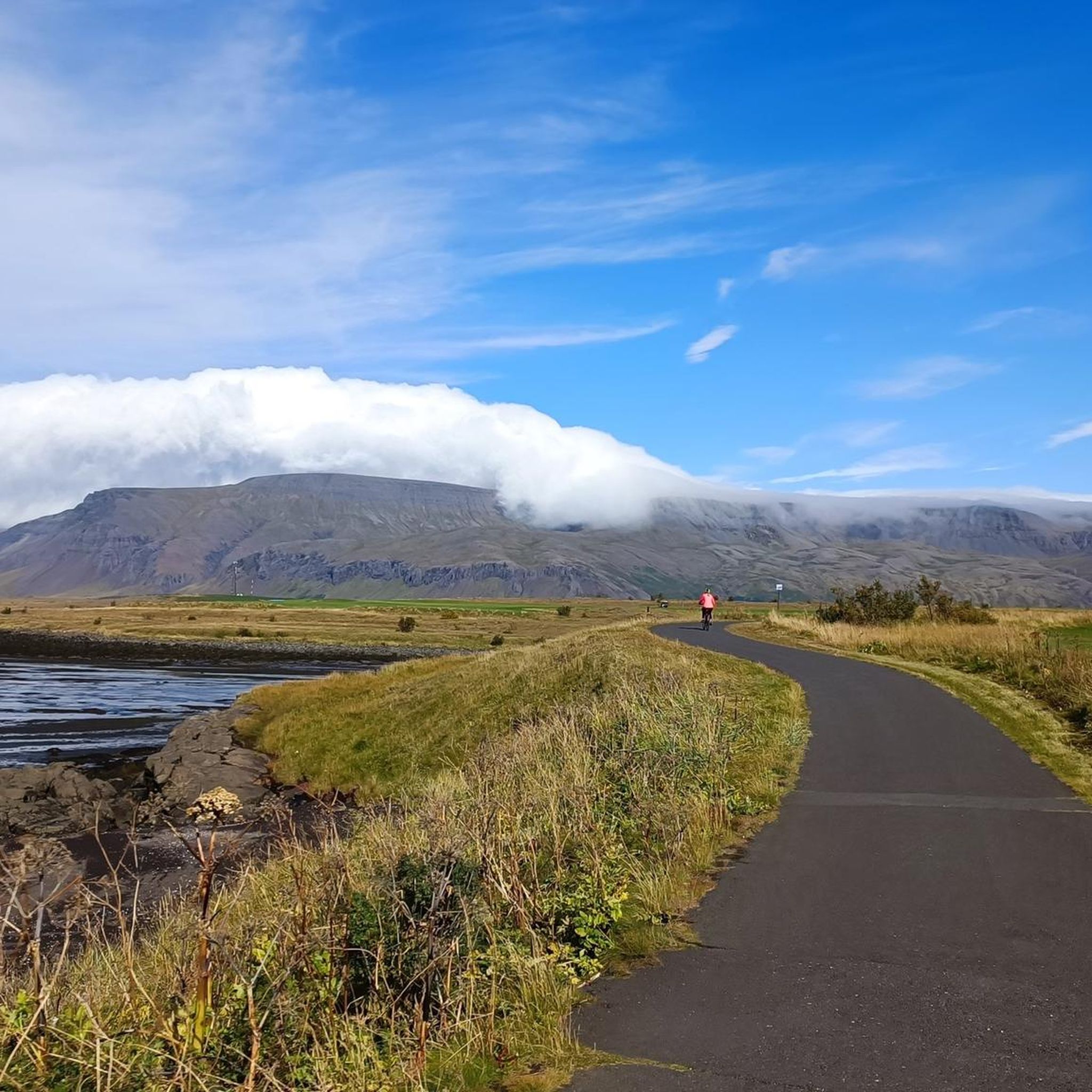
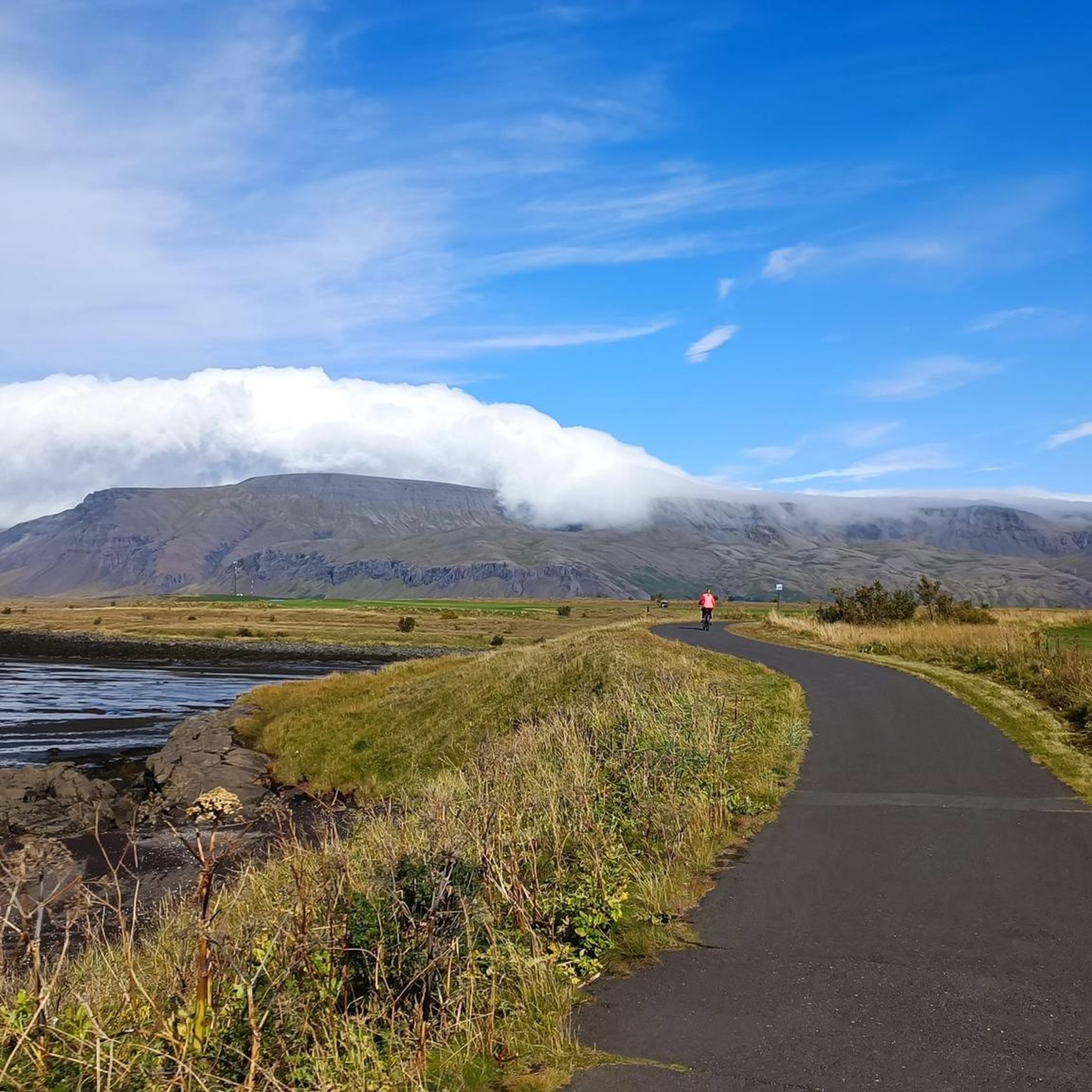
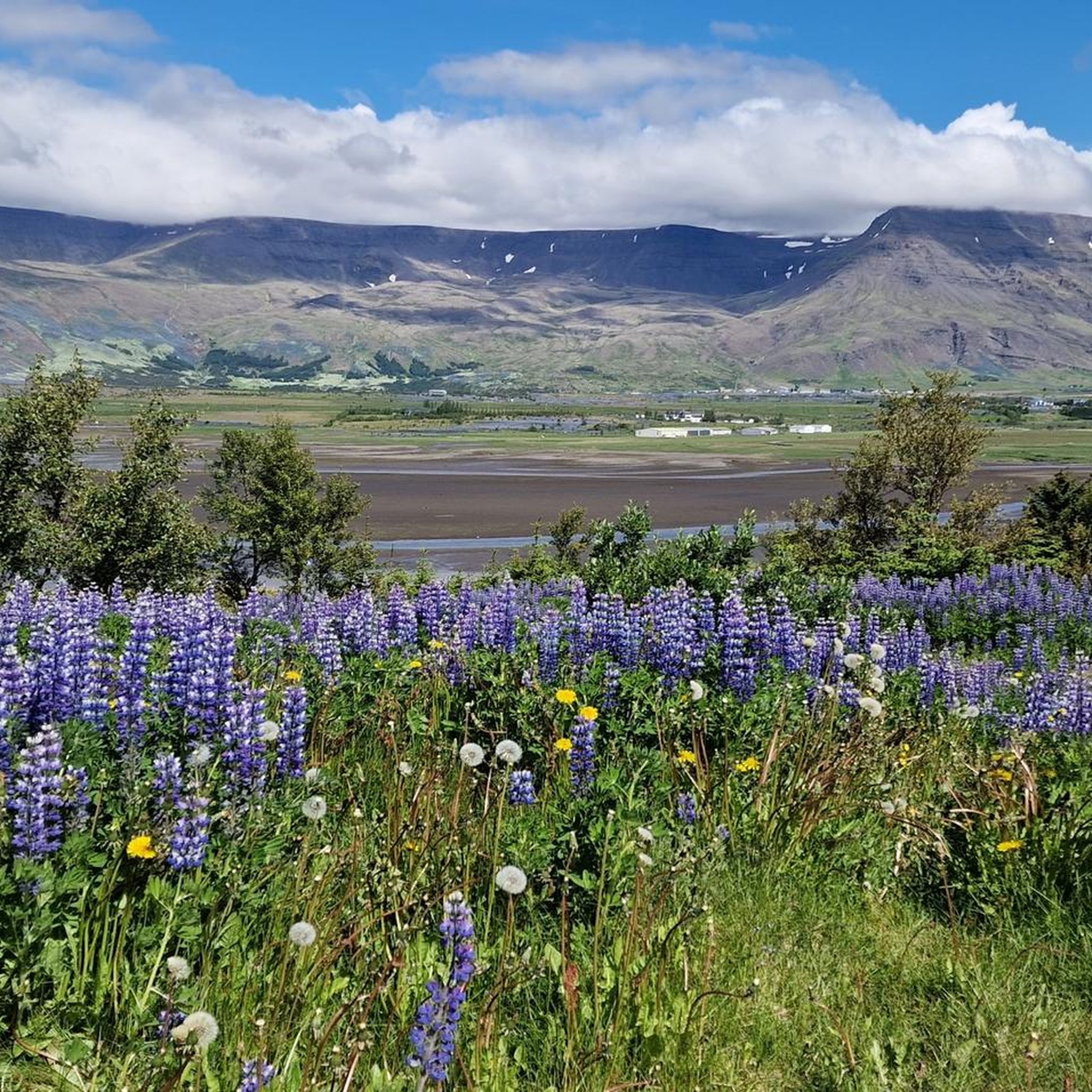
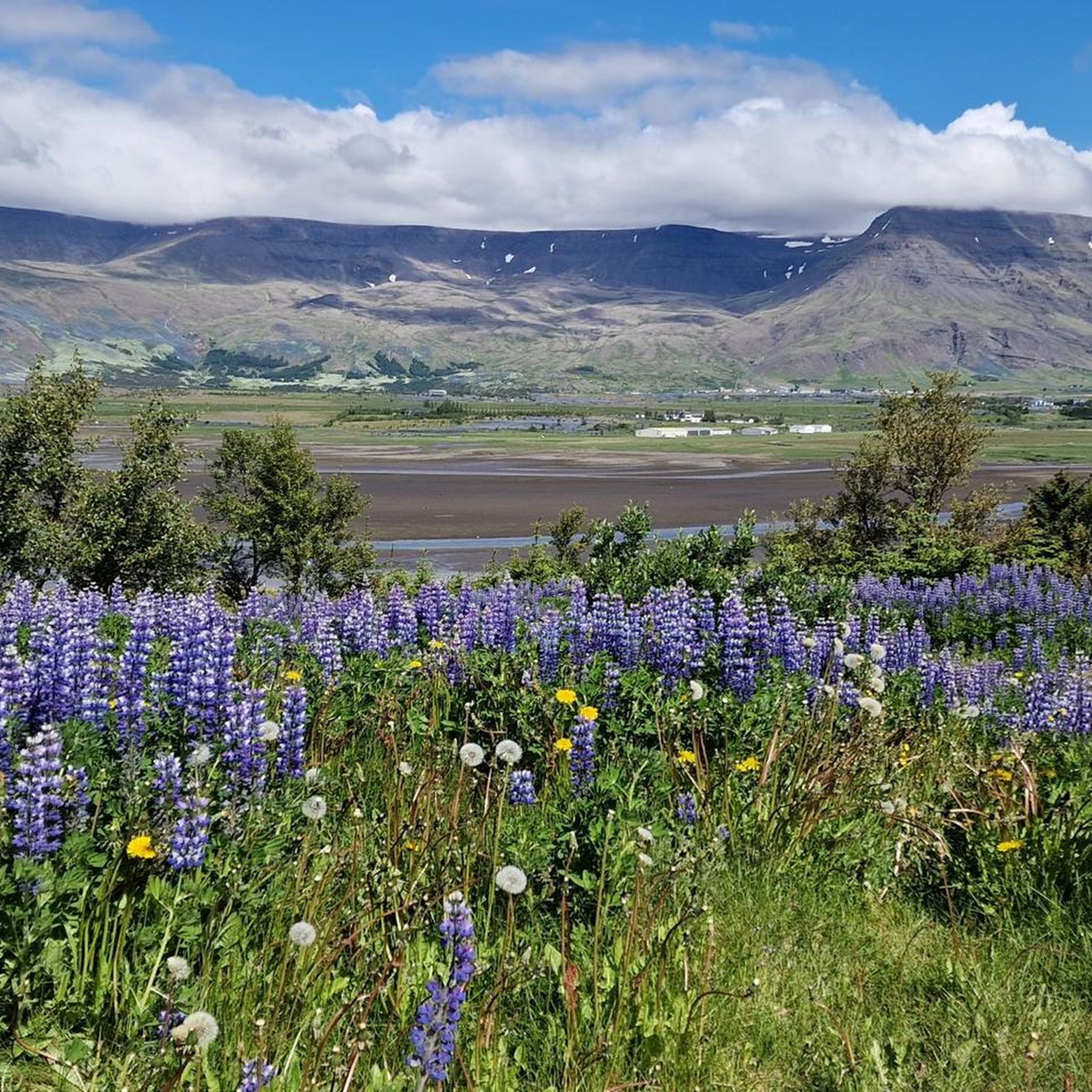
Hiking trails in Blikastaðakró - Leiruvogur traverse a nature reserve in Mosfellsbær, Iceland, characterized by diverse landscapes. The area features Úlfarsfell, a 296-meter mountain with forested slopes, and includes waterfalls such as Álafoss and Króarfoss. The terrain offers a mix of coastal paths and inland routes, providing varied hiking experiences.
Best hiking trails in Blikastaðakró - Leiruvogur
- The most popular hiking route is Seal Rocks loop from Víkur, an easy 3.3 miles (5.4 km) trail that takes 1 hour…
Last updated: July 1, 2026
3.0
(1)
12
hikers
5.38km
01:24
40m
40m
Easy hike. Great for any fitness level. Easily-accessible paths. Suitable for all skill levels.
13
hikers
6.54km
01:44
70m
70m
Easy hike. Great for any fitness level. Easily-accessible paths. Suitable for all skill levels.

Sign up for free
5
hikers
7.16km
01:52
50m
50m
Easy hike. Great for any fitness level. Easily-accessible paths. Suitable for all skill levels.
4
hikers
5.28km
01:24
50m
50m
Easy hike. Great for any fitness level. Easily-accessible paths. Suitable for all skill levels.
5.0
(3)
24
hikers
20.1km
07:12
670m
670m
Hard hike. Very good fitness required. Sure-footedness, sturdy shoes and alpine experience required.
Get access to more routes and recommendations from other explorers.
Sign up for free
Already have an account?
Our route recommendations are based on thousands of hikes, rides, and runs completed by other people on komoot.
Start today with a free account
Your next adventure awaits.
Login or Signup
Tips from the Community

The bridge has a few holes, so be careful where you step.
1
0
Here, the paths leading up meet, and the view is beautiful. From here on, it gets steeper, and you'll need surefootedness.
2
0


The routes are well signposted. The number of “boots” also provides information about the level.
2
1

In order not to walk the same path twice, you can take this minimal detour. You will then see the stream with a nice bridge, a beautiful coniferous grove and a fantastic meadow with a view! On the meadow you walk on grass like on feathers, the perfect end to the hike... The last part of the descent, a clear shortcut, is not visible in Komoot. The road leads back through the forest in a wide arc. The path (marked with green painted posts) leads directly back to the starting point.
3
0


The Mógilsá is crossed further up and offers the opportunity to replenish water supplies.
2
0
Frequently Asked Questions
How many hiking trails are available in Blikastaðakró - Leiruvogur?
There are over 320 hiking routes in Blikastaðakró - Leiruvogur, offering a wide range of options for different preferences and skill levels. These include easy walks, moderate trails, and some more challenging paths.
Are there easy hiking trails suitable for beginners or families in Blikastaðakró - Leiruvogur?
Yes, Blikastaðakró - Leiruvogur offers many easy trails perfect for beginners or families. Over 210 routes are rated as easy. For example, the Seal Rocks loop from Víkur is an easy 3.3-mile (5.4 km) trail, and the Grafarvogur Shipwreck – Grafarvogur Beach loop from Grafarvogur is another accessible 4.1-mile (6.5 km) path exploring the local beach area.
What kind of natural features and landmarks can I expect to see while hiking in Blikastaðakró - Leiruvogur?
Hikers in Blikastaðakró - Leiruvogur can experience diverse landscapes. You'll find coastal paths offering views of the sea, the forested slopes of Úlfarsfell mountain, and picturesque waterfalls like Álafoss on the Varmá river and Króarfoss. The area is a nature reserve, ensuring a pristine environment.
Are there any circular hiking routes in Blikastaðakró - Leiruvogur?
Yes, many of the trails in Blikastaðakró - Leiruvogur are circular, allowing you to start and end at the same point. Examples include the Seal Rocks loop from Víkur and the Seal Rocks loop from Blikastaðakró - Leiruvogur, which offers a moderate 5.2-mile (8.4 km) experience.
Can I bring my dog on the hiking trails in Blikastaðakró - Leiruvogur?
While the guide data does not specify dog-friendly rules for every trail, as a general rule for nature reserves in Iceland, dogs are often permitted on trails but must be kept on a leash to protect wildlife and ensure the safety of other hikers. Always check local signage at trailheads for specific regulations.
What is the best time of year to go hiking in Blikastaðakró - Leiruvogur?
The best time to visit Blikastaðakró - Leiruvogur for hiking is typically during the warmer months, from late spring to early autumn (May to September), when the weather is milder and daylight hours are longer. This period offers the most comfortable conditions for exploring the diverse landscapes.
Are there any trails that offer good opportunities for bird watching?
Yes, the nature reserve status of Blikastaðakró - Leiruvogur suggests a rich habitat for birds. The Bird watching loop from Mosfellsbær is specifically designed for this purpose, offering a 3.3-mile (5.3 km) easy route to observe local avian life.
What do other hikers say about the trails in Blikastaðakró - Leiruvogur?
The trails in Blikastaðakró - Leiruvogur are highly regarded by the komoot community, with an average rating of 4.5 stars from nearly 600 reviews. Hikers often praise the varied terrain, from coastal paths to mountain slopes, and the opportunity to experience Iceland's natural beauty.
Are there any trails that lead to waterfalls in the area?
Yes, the region is home to picturesque waterfalls such as Álafoss on the Varmá river and Króarfoss. While specific routes directly to these waterfalls are not detailed in the provided data, many trails in the nature reserve will offer opportunities to experience the area's natural water features.
Is parking available at the trailheads in Blikastaðakró - Leiruvogur?
While specific parking locations are not detailed for every trailhead, as a popular hiking destination, it is generally expected that designated parking areas are available near common starting points for trails within the Blikastaðakró - Leiruvogur nature reserve. It's advisable to check maps or local information for specific parking facilities before your visit.
What is the elevation gain like on the trails in Blikastaðakró - Leiruvogur?
The elevation gain varies across the trails. Many easy routes, especially coastal ones, have minimal elevation changes, such as the Seal Rocks loop from Víkur with about 39 meters of ascent. Trails exploring Úlfarsfell mountain will naturally feature more significant climbs, but overall, the area offers a mix of relatively flat and gently undulating paths.
Most popular routes in Blikastaðakró - Leiruvogur

Get inspired with the komoot mobile app


Explore more
Browse the best Hikes in other regions.
