The best road cycling routes in South Dublin Bay Special Area Of Conservation
4.6
(554)
21,623
riders
50
rides
Road cycling routes in South Dublin Bay Special Area Of Conservation offer diverse terrain along the Irish coastline. The region features extensive intertidal mudflats and sandflats, with surrounding coastal roads and paths providing varied cycling experiences. While many routes are flat and well-maintained, areas like Dalkey and Killiney present more challenging climbs with significant elevation gain. Cyclists can expect continuous coastal views and connections to numerous points of interest.
Best road cycling routes in South Dublin Bay Special Area Of Conservation
- The most popular road cycling route is Seapoint Beach – Samuel Beckett Bridge loop from Seapoint, a 29.8 miles (47.9 km) trail that takes 1 hour 54 minutes to complete. This easy route offers continuous coastal views along Dublin Bay.
- Another top favourite among local road cyclists is Killakee Viewpoint – Sally Gap loop from Booterstown, a difficult 82.6 miles (132.9 km) path. This route includes significant elevation gain, leading to panoramic views from higher vantage points.
- Local road cyclists also love the Seapoint Beach – Sandymount Beach loop from Salthill and Monkstown, a 51.9 miles (83.5 km) trail leading through coastal areas and urban fringes, often completed in about 3 hours 27 minutes.
- Road cycling in South Dublin Bay Special Area Of Conservation is defined by coastal roads, picturesque harbours, and elevated viewpoints. The network offers options for different ability levels, from leisurely spins to challenging climbs.
- The routes in South Dublin Bay Special Area Of Conservation are highly rated by the komoot community with an average score of 4.4 stars from more than 40 reviews. More than 4000 road cyclists have used komoot to explore South Dublin Bay Special Area Of Conservation's varied terrain.
Last updated: July 18, 2026
4.3
(18)
744
riders
47.9km
01:55
110m
110m
Easy road ride. Great for any fitness level. Mostly well-paved surfaces and easy to ride.
4.7
(3)
390
riders
133km
06:31
1,990m
1,990m
Hard road ride. Very good fitness required. Mostly well-paved surfaces and easy to ride.

Sign up for free
5.0
(5)
387
riders
83.8km
03:29
350m
350m
Moderate road ride. Good fitness required. Mostly well-paved surfaces and easy to ride.
3.8
(4)
225
riders
88.8km
03:59
690m
690m
Moderate road ride. Good fitness required. Some segments of this route may be unpaved and difficult to ride.
3.8
(4)
211
riders
84.6km
03:41
680m
680m
Moderate road ride. Good fitness required. Mostly well-paved surfaces and easy to ride.
Get access to more routes and recommendations from other explorers.
Sign up for free
Already have an account?
Our route recommendations are based on thousands of hikes, rides, and runs completed by other people on komoot.
Start today with a free account
Your next adventure awaits.
Login or Signup
Popular around South Dublin Bay Special Area Of Conservation
Tips from the Community

The Glenmacnass Waterfall cascades 80–100 metres down several broad steps into a carved U‑shaped valley, one of the wildest landscapes in the Wicklow Mountains. From the R115, you have a frontal view of the granite ledge over which the water falls, with open moorland, peat slopes, and the river winding its way towards Laragh.
8
0
The waterfall plunges in multiple stages, 80–100 meters, down a wide granite ledge. The combination of steep walls, open highlands, and the winding river below makes this one of the most dramatic panoramas in the entire R115 corridor.
6
0
Sally Gap, one of the highest and most open crossroads in the Wicklow Mountains. Here, the R759 and the Old Military Road (R115) intersect at over 500 meters altitude, in the middle of a vast moorland and heath landscape without buildings or shelter. The panorama is a full 360°: the dark bogs of Liffey Head Bog, the flanks of Kippure, the valleys towards Glencree, and the long, empty Military Road that runs like a pencil line through the highlands. This location is world-famous as a backdrop for films and series such as Braveheart, Vikings, and P.S. I Love You.
8
0
You are here on one of the most characteristic sections of the Old Military Road, built between 1800 and 1809 by the British Army to control the Wicklow Mountains after the 1798 Rebellion. This section of the L1013 runs across an open high plateau with wide, rugged views towards Glencree, Kippure and the northern Wicklow Mountains.
6
0
A modern cable-stayed bridge from 2009, designed by Santiago Calatrava, recognizable by its large white arch and 31 cables that together evoke the shape of an Irish harp. The bridge connects Sir John Rogerson’s Quay with Guild Street in the Docklands and can rotate up to 90° to allow ships to pass. It is one of the most photogenic spots along the Liffey, especially in the evening light with its reflections on the water.
5
0


The bridge is a good starting point for exploring the sights along the banks of the Liffey.
0
0

Frequently Asked Questions
How many road cycling routes are available in South Dublin Bay Special Area Of Conservation?
There are over 50 road cycling routes in the South Dublin Bay Special Area Of Conservation, offering a wide range of experiences for cyclists. These routes are highly rated by the komoot community, with an average score of 4.4 stars.
What kind of terrain can I expect on road cycling routes in South Dublin Bay Special Area Of Conservation?
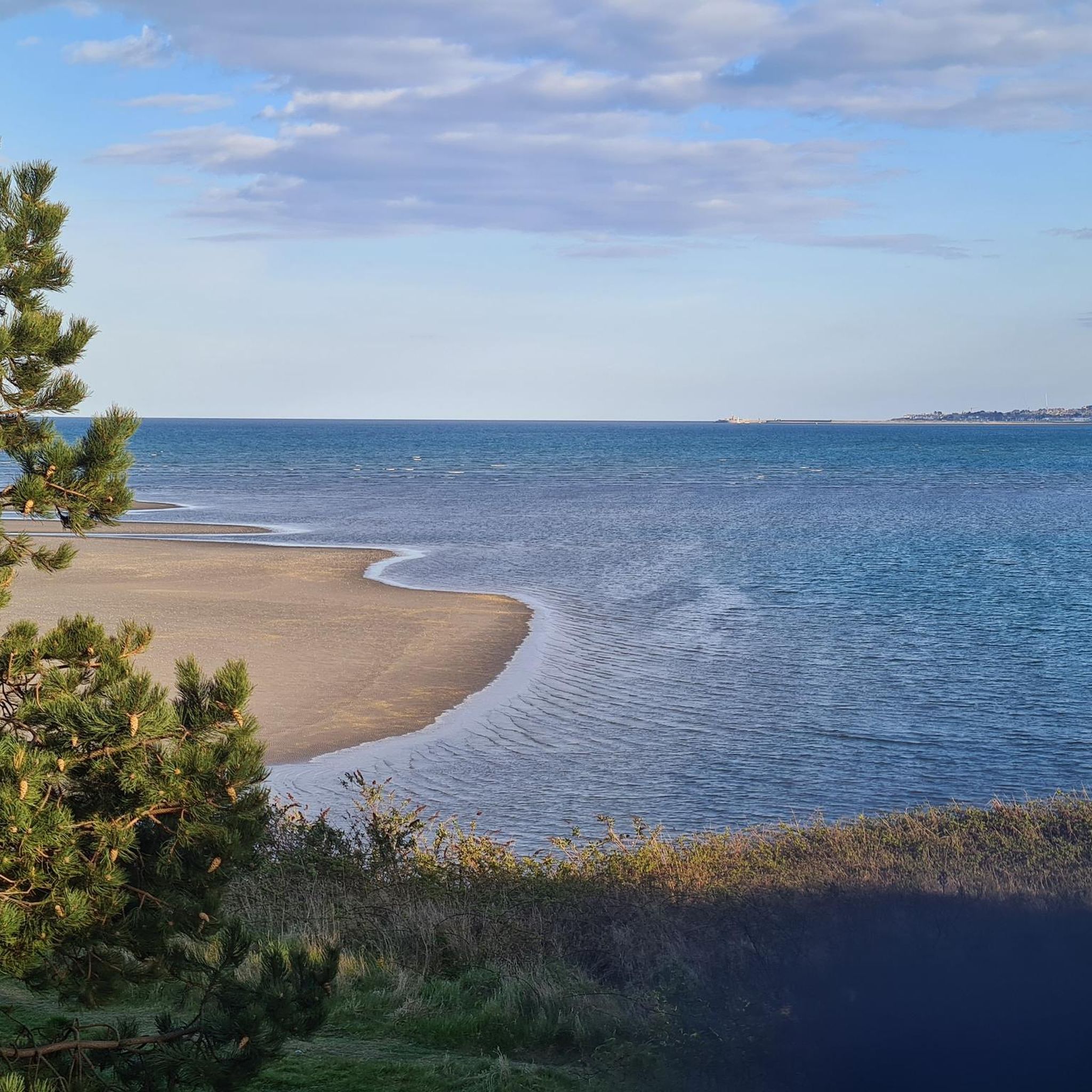
The region offers diverse terrain. Many coastal routes, such as the Seapoint Beach – Samuel Beckett Bridge loop from Seapoint, are mostly flat and well-maintained, providing leisurely spins with continuous coastal views. However, areas around Dalkey and Killiney feature more challenging climbs with significant elevation gain, rewarding cyclists with panoramic views across Dublin Bay.
Are there any easy road cycling routes suitable for beginners in South Dublin Bay Special Area Of Conservation?
Yes, there are several easy routes perfect for beginners. For instance, the Seapoint Beach – Samuel Beckett Bridge loop from Seapoint is an easy 29.8-mile (47.9 km) trail that offers continuous coastal views along Dublin Bay with minimal elevation gain.
Where can I find challenging road cycling routes with significant climbs?
For those seeking a challenge, routes extending into areas like Dalkey and Killiney offer significant elevation gain. The Killakee Viewpoint – Sally Gap loop from Booterstown is a difficult 82.6-mile (132.9 km) path that includes substantial climbing, leading to panoramic views from higher vantage points.
What landmarks and natural features can I see along the road cycling routes?
Cyclists can enjoy a wealth of sights. You'll spot iconic landmarks like the distinctive Poolbeg Chimneys and the red Poolbeg Lighthouse. Historic Martello towers are dotted along the coastline, and picturesque harbours like Dun Laoghaire and Dalkey's Coliemore Harbour add to the charm. From elevated points, you can enjoy breathtaking views of Dublin Bay. You can also visit Sandymount Strand or Seapoint Beach.
Are there opportunities for wildlife spotting while road cycling?
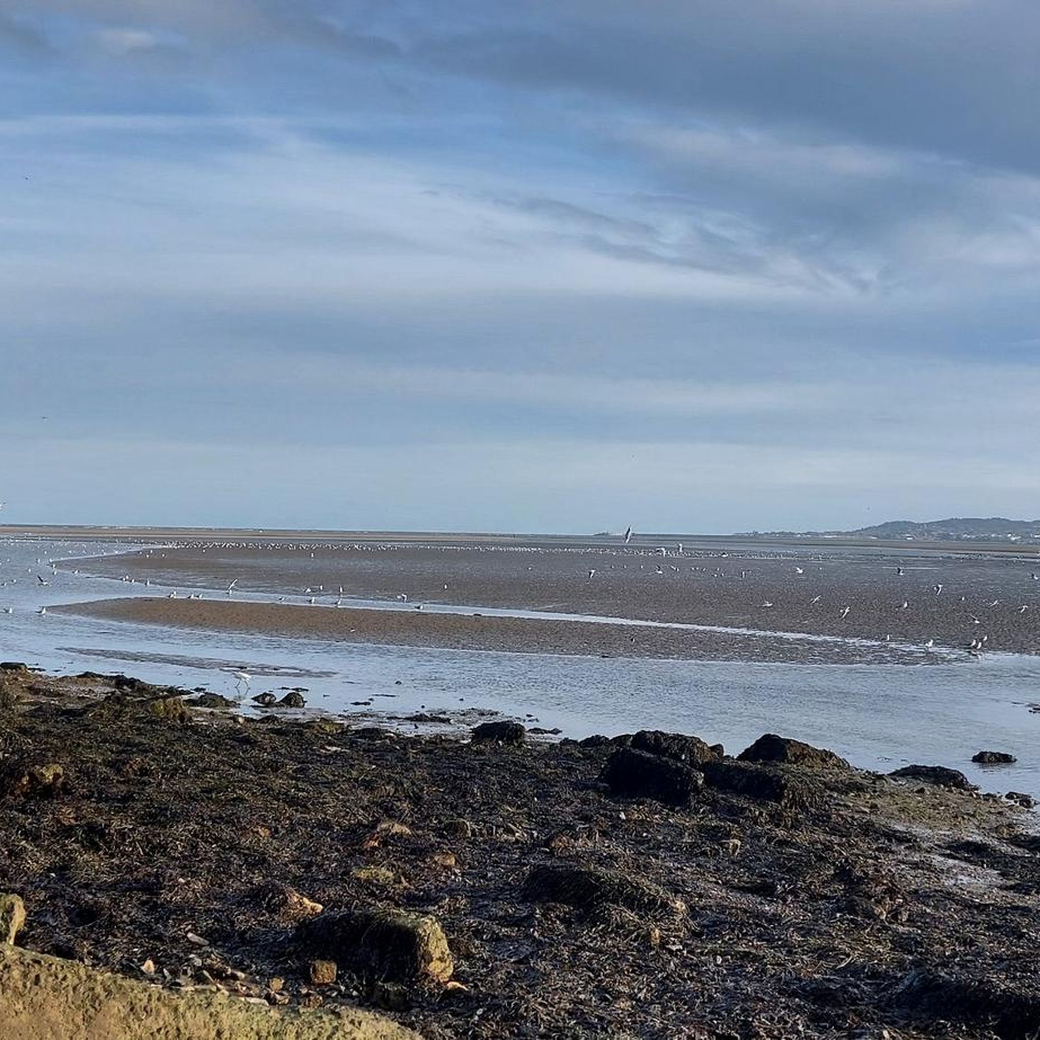
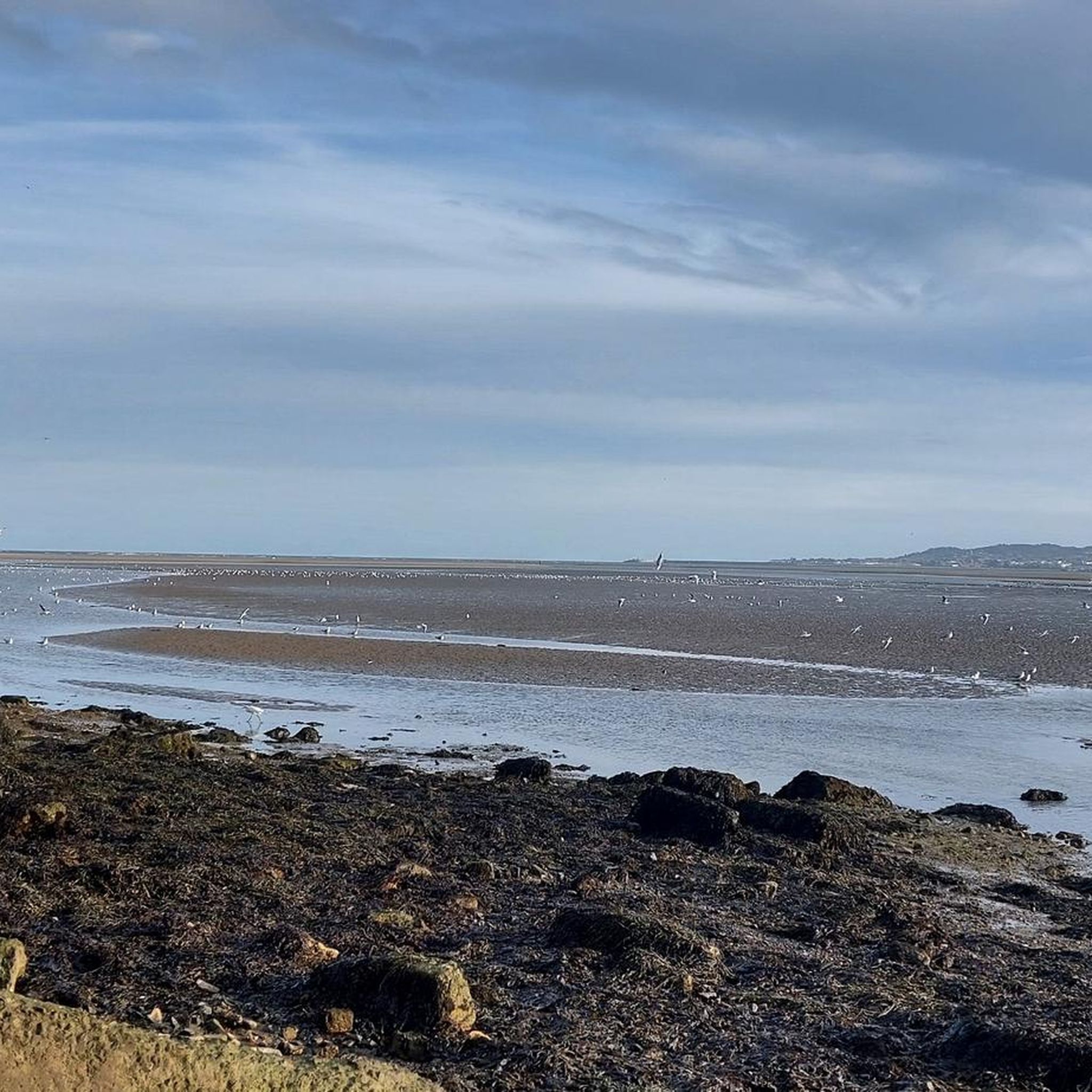
Yes, the South Dublin Bay Special Area of Conservation is vital for biodiversity. While cycling coastal routes, you can observe the extensive intertidal mudflats and sandflats, which are crucial habitats for various marine species and a significant international site for waterfowl. Bird species such as Oystercatcher, Redshank, Ringed Plover, Dunlin, and large flocks of gulls and terns are frequently present.
Are there circular road cycling routes available?
Many routes in the area are designed as loops, allowing you to start and finish in the same location. Examples include the Seapoint Beach – Samuel Beckett Bridge loop from Seapoint and the Seapoint Beach – Sandymount Beach loop from Salthill and Monkstown, which offer convenient circular journeys.
What is the best time of year for road cycling in South Dublin Bay Special Area Of Conservation?
The area is enjoyable for road cycling throughout much of the year. Spring and summer offer pleasant weather for coastal rides and longer excursions. Autumn can also be beautiful with changing colours. While winter cycling is possible, be prepared for cooler temperatures and potentially stronger winds along the coast.
What do other road cyclists enjoy most about the routes here?
The routes in South Dublin Bay Special Area Of Conservation are highly rated by the komoot community, with an average score of 4.4 stars from over 40 reviews. Cyclists often praise the continuous coastal views, the variety of terrain from flat spins to challenging climbs, and the connections to charming towns and historical landmarks along the way.
Are there family-friendly road cycling options in the area?
Yes, the Dublin Bay Cycle Path, which runs along parts of the wider Dublin Bay area, offers mostly flat and well-maintained paths suitable for all skill levels, including families. Many of the easier coastal routes provide a safe and enjoyable experience for family outings.
Is public transport accessible for reaching road cycling routes?
The South Dublin Bay area is well-served by public transport, including DART (Dublin Area Rapid Transit) stations along the coast, making it convenient to access various starting points for road cycling routes. Many routes pass through or near towns like Dun Laoghaire and Dalkey, which have good transport links.
Can I find cafes or pubs along the road cycling routes?
Yes, the routes pass through charming coastal towns and villages such as Dun Laoghaire and Dalkey. These areas offer numerous cafes, pubs, and restaurants where cyclists can stop for refreshments, a meal, or a break during their ride.
Most popular routes in South Dublin Bay Special Area Of Conservation
Most popular attractions in South Dublin Bay Special Area Of Conservation

Get inspired with the komoot mobile app


Explore more
Browse the best Road cycling routes in other regions.
