Parque Periurbano Dehesa Del Generalife
Parque Periurbano Dehesa Del Generalife
The best running trails in Parque Periurbano Dehesa Del Generalife
4.3
(274)
12,931
runners
508
runs
Jogging in Parque Periurbano Dehesa Del Generalife offers routes through a rich Mediterranean ecosystem, characterized by holm oaks, reforested pines, and olive groves. The terrain includes varied elevations, from shaded forest paths to open areas with panoramic views of Granada and the Sierra Nevada Mountains. The Darro River valley forms part of its natural framework, and ancient irrigation channels, known as acequias, provide unique historical paths. This park is well-suited for running, featuring a "Sports Circuit" and trails that integrate historical elements like Moorish ruins and wells.
Best jogging routes in Parque Periurbano Dehesa Del Generalife
- The most popular jogging route is Genil Bridge loop from Alhambra, a 4.5 miles (7.2 km) trail that takes 45 minutes to complete. This route offers views of the Genil River and the historic Alhambra.
- Another top favourite among local runners is Bandstand – Kiosk Las Titas loop from Alhambra, a moderate 5.8 miles (9.4 km) path. This route winds through varied parkland, passing notable landmarks and offering scenic vistas.
- Local runners also love the Pinos Genil loop from Cenes de la Vega, a 9.4 miles (15.1 km) trail leading through the Pinos Genil area, often completed in about 1 hour 38 minutes.
- Jogging in Parque Periurbano Dehesa Del Generalife is defined by Mediterranean woodlands, historical acequias, and varied elevations. The network offers options for different ability levels, from moderate loops to more challenging long-distance runs.
- The routes in Parque Periurbano Dehesa Del Generalife are highly rated by the komoot community with an average score of 4.4 stars from more than 200 reviews. More than 10,000 runners have used komoot to explore Parque Periurbano Dehesa Del Generalife's varied terrain.
Last updated: October 22, 2026
4.0
(1)
102
runners
Hard run. Very good fitness required. Mostly paved surfaces. Suitable for all skill levels.
4.0
(10)
262
runners
5.97km
00:37
50m
40m
Moderate run. Good fitness required. Mostly paved surfaces. Suitable for all skill levels.

5.0
(1)
46
runners
21.5km
03:08
1,070m
1,070m
Hard run. Very good fitness required. Mostly paved surfaces. Suitable for all skill levels.
4.8
(4)
25
runners
4.64km
00:30
80m
80m
Easy run. Great for any fitness level. Mostly paved surfaces. Suitable for all skill levels.
47
runners
5.18km
00:33
40m
40m
Moderate run. Good fitness required. Mostly paved surfaces. Suitable for all skill levels.
Get access to more routes and recommendations from other explorers.
Already have an account?
Our route recommendations are based on thousands of hikes, rides, and runs completed by other people on komoot.
Start today with a free account
Your next adventure awaits.
Popular around Parque Periurbano Dehesa Del Generalife
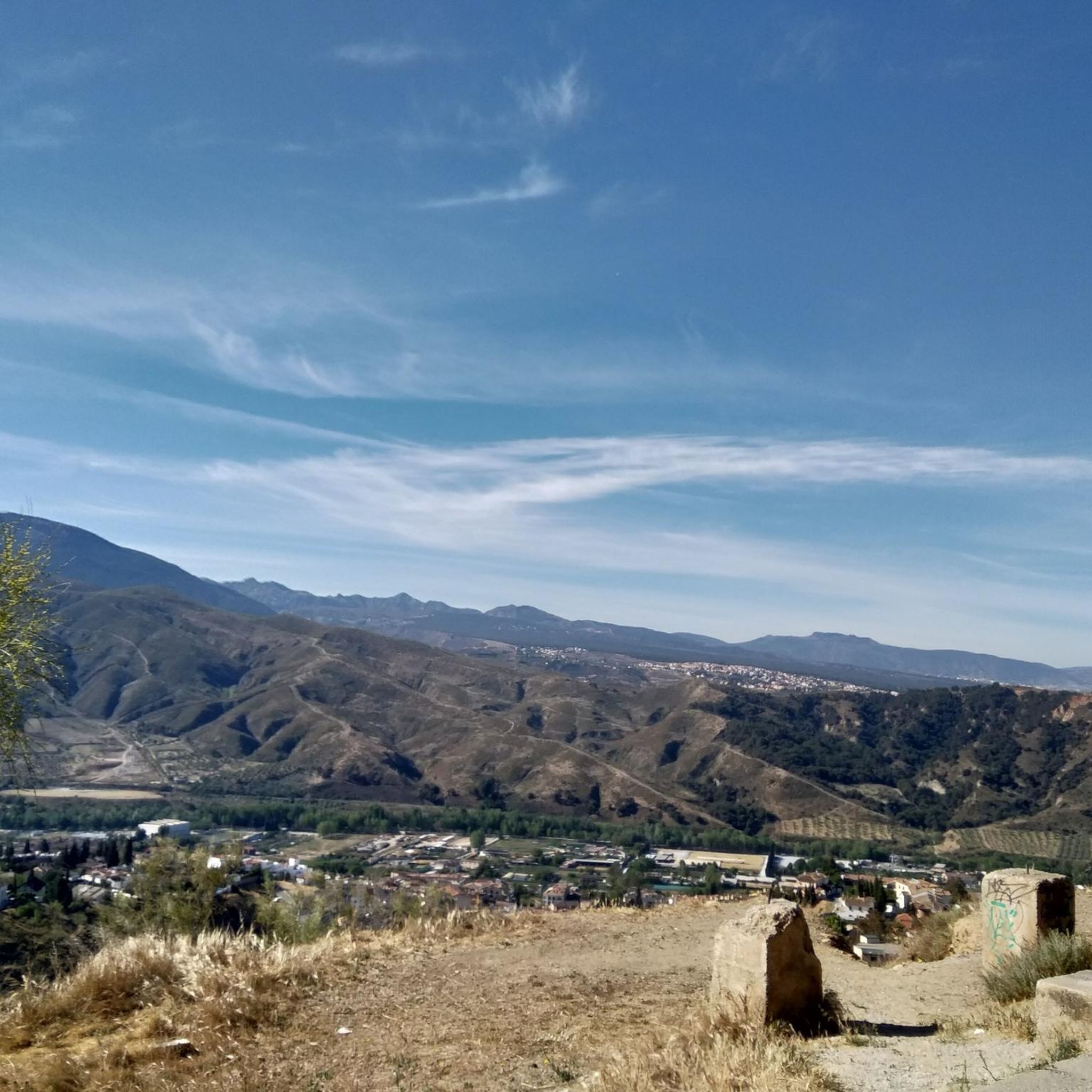
Road Cycling Routes in Parque Periurbano Dehesa Del Generalife
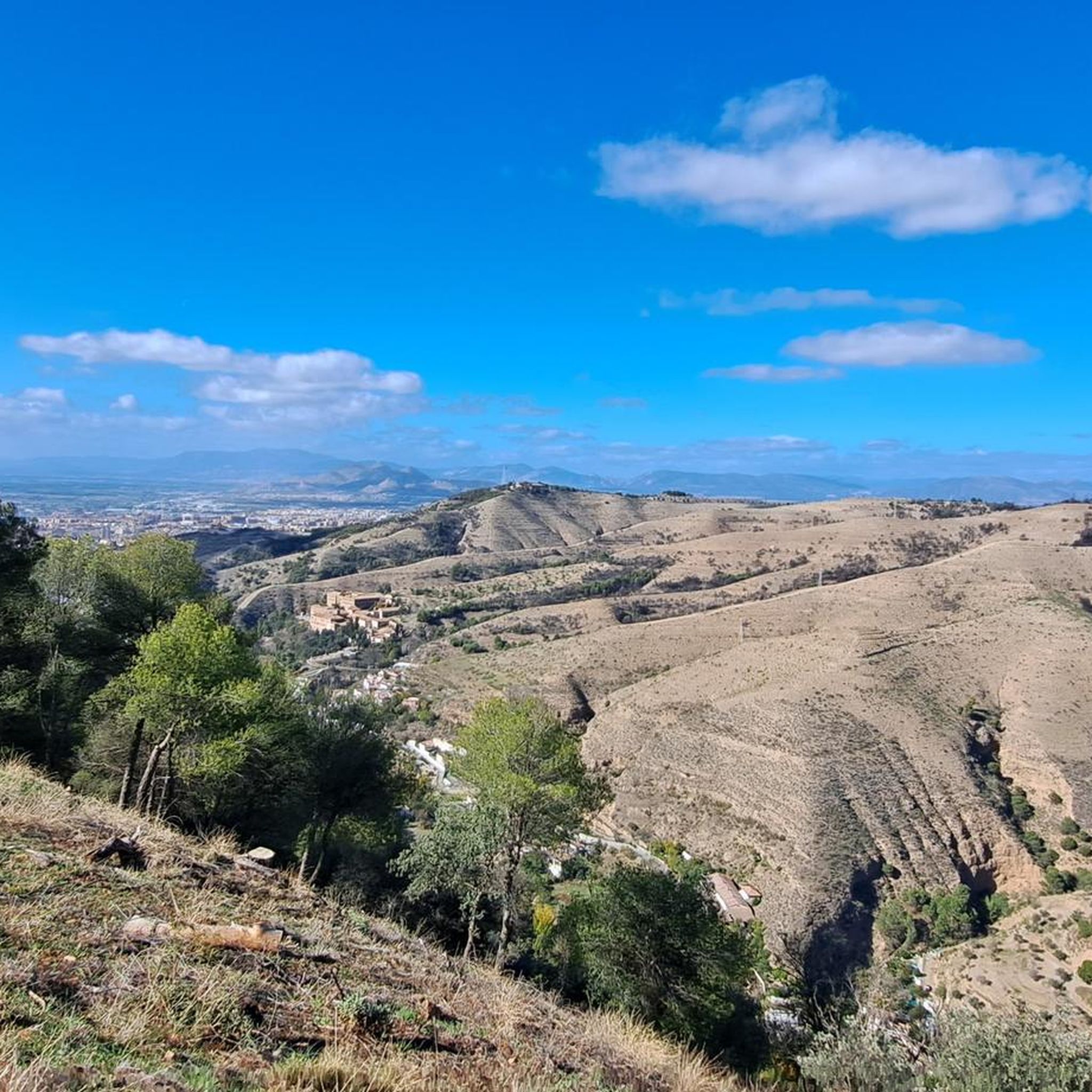
Hiking in Parque Periurbano Dehesa Del Generalife
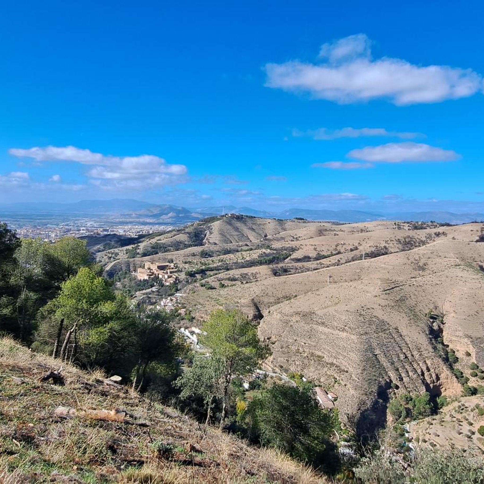
MTB Trails in Parque Periurbano Dehesa Del Generalife
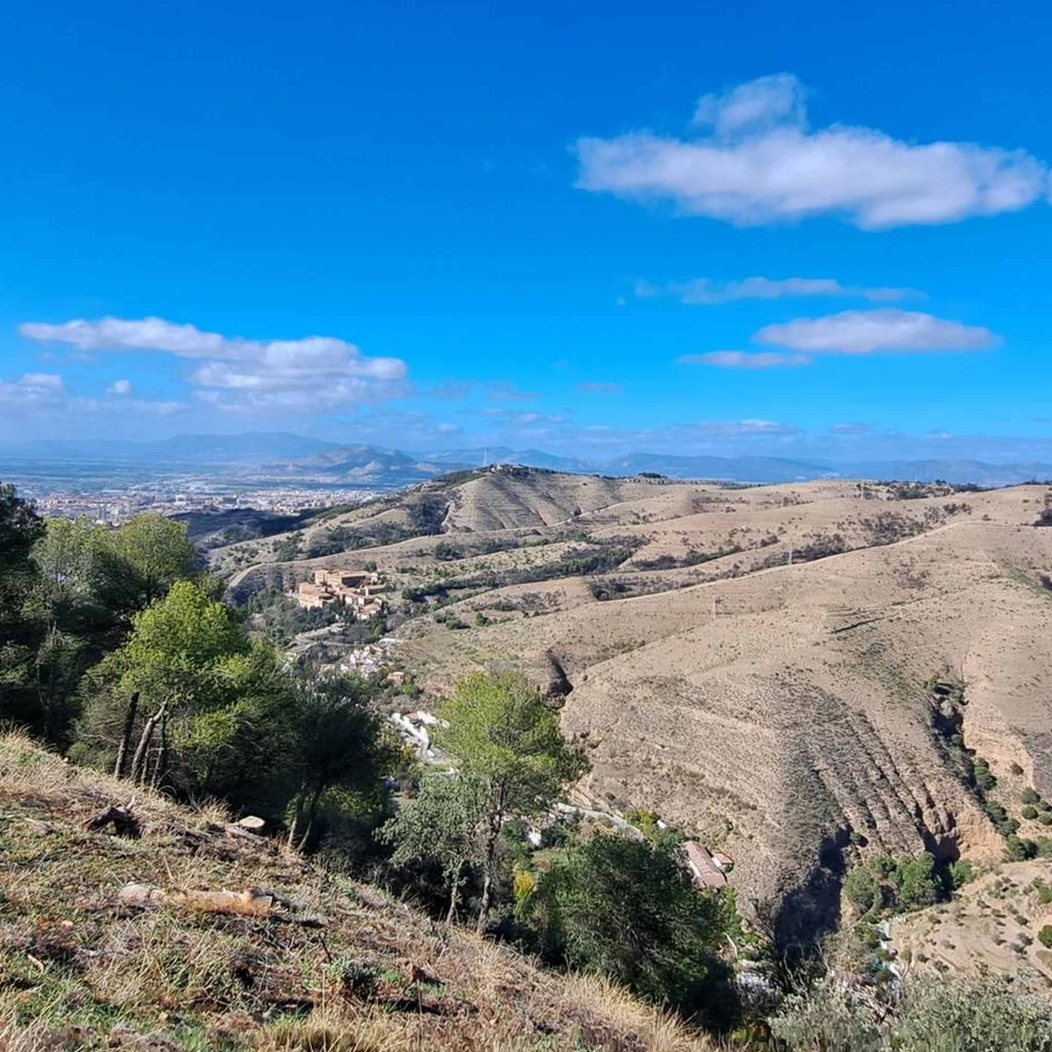
Cycling in Parque Periurbano Dehesa Del Generalife

Gravel biking in Parque Periurbano Dehesa Del Generalife

Mountain Hikes in Parque Periurbano Dehesa Del Generalife
Tips from the Community

From the capital towards the surrounding areas, it always surprises you
0
0

The Genil River naturalizes the center of Granada and gives it a more landscaped feel. It is also a natural corridor to enter or leave the city along its charming banks.
1
0
Granada offers magnificent postcards in every corner. From this point, you can see the Roman bridge, the river, and glimpse the Alhambra palace.
0
0

Beautiful fountain
0
0

Bridge currently not present. It is not possible to cross the river at this point.
0
0

Stop yes or yes
1
1
Mandatory stop once you are in it.I call it.the.pwdiez
1
0

Bridge currently closed - but there are others.
1
0
Frequently Asked Questions
How many running routes are available in Parque Periurbano Dehesa Del Generalife?
There are over 480 running routes documented in Parque Periurbano Dehesa Del Generalife, offering a wide variety of options for all skill levels. The komoot community has explored these trails over 10,000 times.
Are there easy jogging routes suitable for beginners or families?
Yes, the park offers a good selection of easier running paths. Approximately 30 routes are classified as 'easy', making them ideal for beginners, families, or those looking for a more relaxed run through the beautiful Mediterranean woodlands.
What kind of terrain can I expect on the running trails?
Runners can expect varied terrain, from shaded forest paths through holm oaks and reforested pines to more open areas. The park features diverse elevations and paths that run parallel to ancient irrigation channels, known as acequias, providing a mix of natural and historical landscapes.
What are some notable landmarks or attractions I might see while running?
The park is rich in historical and natural attractions. Along your run, you might encounter remnants of its Moorish past, including ancient wells and water channels like the Rainwater cistern (Aljibe de la Lluvia). You can also find the Jesús del Valle Estate or the Sundial of Llano de la Perdiz. Many routes also offer breathtaking panoramic views of Granada, the Alhambra, and the Sierra Nevada Mountains, especially from viewpoints like the Mirador de la Silla del Moro.
Are there any circular running routes in the park?
Yes, many of the routes in Parque Periurbano Dehesa Del Generalife are circular. For example, the Genil Bridge loop from Alhambra is a popular 4.5-mile (7.2 km) option, and the Bandstand – Kiosk Las Titas loop from Alhambra offers a moderate 5.8-mile (9.4 km) path.
What do other runners say about the trails in Parque Periurbano Dehesa Del Generalife?
The running routes in Parque Periurbano Dehesa Del Generalife are highly rated by the komoot community, with an average score of 4.4 stars from over 200 reviews. Runners often praise the park's stunning natural beauty, the diverse terrain, and the unique combination of physical activity with cultural immersion and spectacular views of Granada and the Sierra Nevada.
Can I access the running routes using public transport?
Many of the park's trails, including popular running routes like the '5 curvas del Parque de Invierno', can be accessed conveniently from the center of Granada, suggesting good public transport connections to the park's vicinity. It's advisable to check local bus routes for specific access points.
Are there longer, more challenging running options for experienced runners?
Absolutely. While there are easy routes, the park also features more challenging options. For instance, the View of the Alhambra loop from Alhambra is a difficult 17-mile (27.5 km) route, and the Genil Bridge – View of Granada loop from Cenes de la Vega covers over 13 miles (21.5 km) with significant elevation changes.
What kind of wildlife might I encounter while running?
The park's rich Mediterranean ecosystem, with its diverse flora, provides a habitat for numerous animal species, particularly forest birds. While running, you might spot various bird species and other small wildlife typical of the region's woodlands.
What is the typical duration for a running route in the park?
Running durations vary significantly depending on the route's distance and difficulty. For example, the moderate Genil Bridge loop from Alhambra typically takes about 45 minutes, while longer, more difficult routes like the Pinos Genil loop from Cenes de la Vega can take around 1 hour 38 minutes or more.
Are there specific trails known for their scenic views?
Many trails offer stunning vistas, but routes that ascend to viewpoints like the Mirador de la Silla del Moro are particularly renowned for their panoramic views of the city of Granada, the majestic Alhambra, and the distant Sierra Nevada Mountains. The Darro River valley also contributes significantly to the scenic beauty along many paths.
Most popular routes in Parque Periurbano Dehesa Del Generalife
Most popular attractions in Parque Periurbano Dehesa Del Generalife

Get inspired with the komoot mobile app


Explore more
Browse the best Running Trails & Routes in other regions.
