The best road cycling routes in Terence Bay Wilderness Area
5.0
(2)
159
riders
4
rides
Road cycling routes in Terence Bay Wilderness Area are situated within a coastal and near-coastal wilderness in Nova Scotia, characterized by dramatic granite headlands, rugged barrens, and patches of coastal conifer forest. The inland terrain features mixed spruce, fir, maple, and birch forests, dotted with numerous lakes and streams. While the wilderness area itself maintains a natural character, the surrounding region offers road cycling opportunities that integrate with broader regional networks, providing diverse terrain from coastal roads to forested paths.…
Last updated: July 9, 2026
10
riders
39.7km
02:03
340m
340m
Moderate road ride. Good fitness required. Some segments of this route may be unpaved and difficult to ride.
26
riders
66.9km
02:51
470m
470m
Moderate road ride. Good fitness required. Mostly well-paved surfaces and easy to ride.

Sign up for free
5
riders
40.5km
01:42
300m
300m
Moderate road ride. Great for any fitness level. Some segments of this route may be unpaved and difficult to ride.
5.0
(2)
94
riders
47.6km
02:07
440m
440m
Moderate road ride. Good fitness required. Some segments of this route may be unpaved and difficult to ride.
14
riders
Moderate road ride. Good fitness required. Mostly well-paved surfaces and easy to ride.
Our route recommendations are based on thousands of hikes, rides, and runs completed by other people on komoot.
Start today with a free account
Your next adventure awaits.
Login or Signup
Popular around Terence Bay Wilderness Area
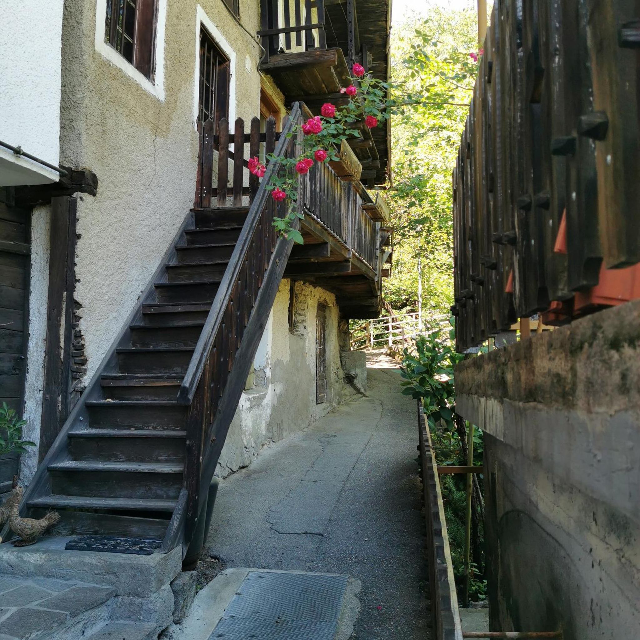
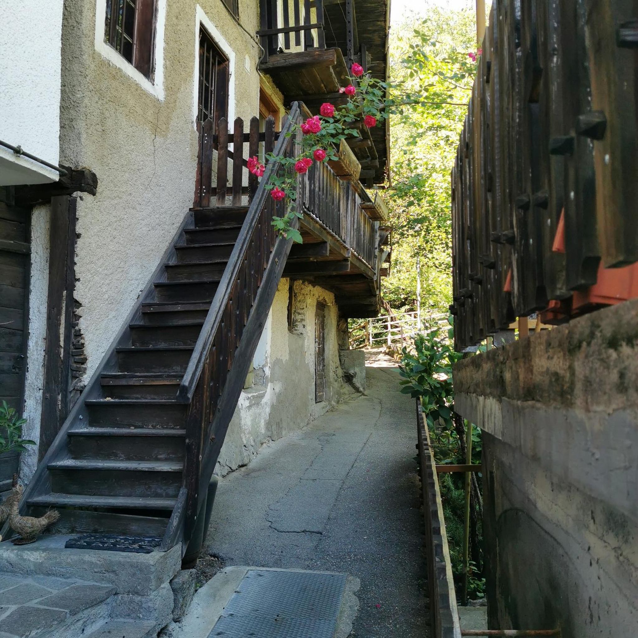
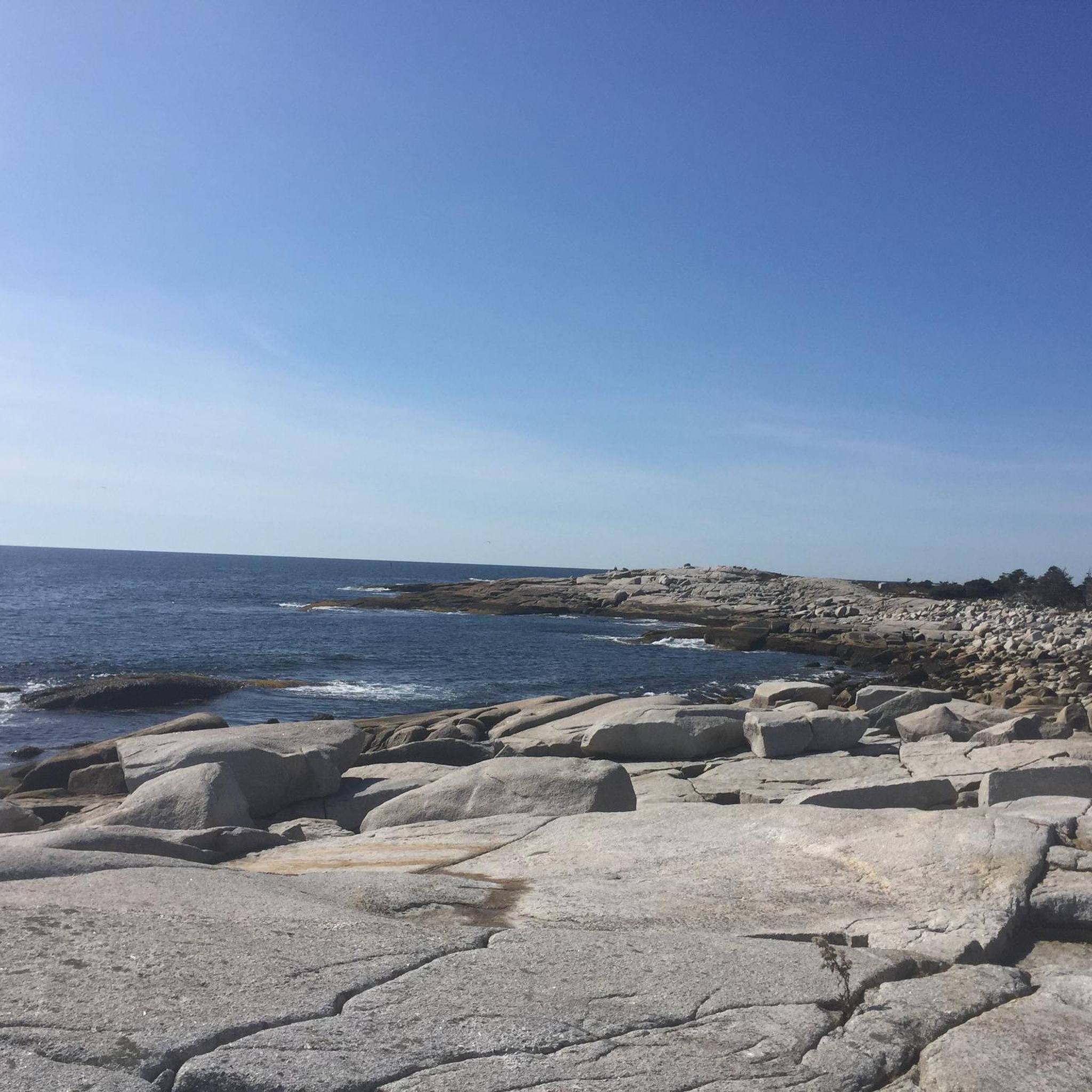
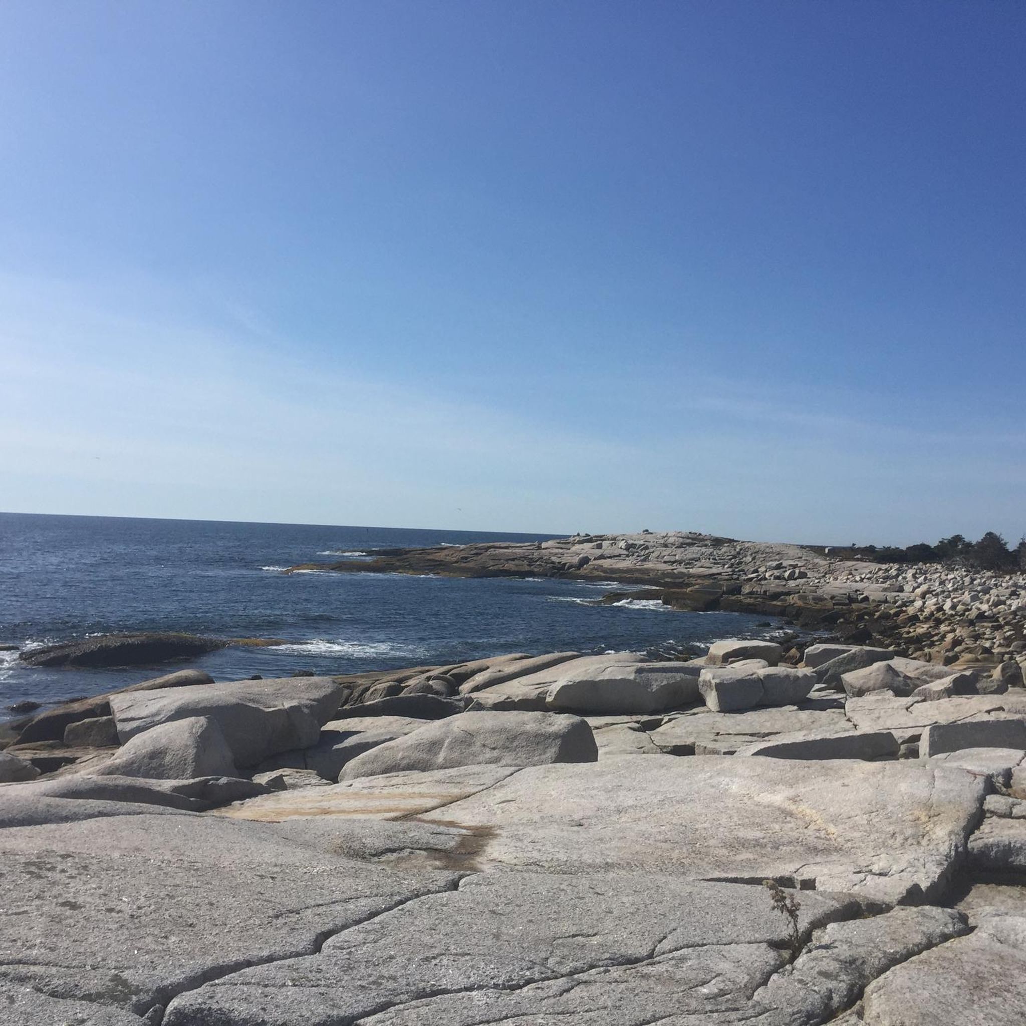
Tips from the Community

The trail circles Frog Pond, staying close to the water the whole way. From the shore, you’ll see smooth granite rocks at the edge, lily pads gathered near the surface, and a line of trees reflected across the pond. It’s quiet and open here, with wide views straight across the water and plenty of spots to stop along the shoreline.
0
0

That pic is taken from the corner of the Bike N Bean but it's actually facing another restaurant called Cavvicchi's.
0
0


Lock one of nine. Nova Scotian's take rowing and canoeing seriously at Lake Banook!
0
0

A great spot along the BLT trail for a refreshing drink or bite to eat. Also includes a bike shop for all your bicycle gear or repair needs
1
0

Frequently Asked Questions
How many road cycling routes are available in the Terence Bay Wilderness Area region?
The komoot guide features 6 road cycling routes in the Terence Bay Wilderness Area region. These routes integrate with a broader regional network, offering diverse terrain from coastal roads to forested paths.
What is the typical terrain and difficulty for road cycling in this area?
Road cycling in the Terence Bay Wilderness Area region features diverse terrain, from dramatic granite headlands and coastal roads to forested sections with mixed spruce, fir, maple, and birch. Routes often include elevation gains typical for coastal and forested areas. All routes listed in this guide are rated as moderate difficulty.
Are there any specific routes that offer scenic coastal views?
Yes, several routes provide stunning coastal vistas. For example, the Halibut Bay Bluff – View of the Ocean loop from Sambro Creek offers direct views of the Atlantic coastline. Another option is the Halibut Bay Bluff – View of the Ocean loop from Ketch Harbour, which also provides extensive ocean views.
What kind of natural features or landmarks can I expect to see along the road cycling routes?
The region is characterized by dramatic granite headlands, rugged barrens, and patches of coastal conifer forest. You'll encounter exposed granite formations, cliffs, and sheltered coves. Inland, routes may pass through mixed forests and near numerous lakes and streams. While the wilderness area itself is largely undeveloped, the surrounding roads offer glimpses of this rugged natural beauty.
Are there any loop routes available for road cyclists?
Yes, all the routes featured in this guide are designed as loops, allowing you to start and end at the same point. Examples include the Bike & Bean Coffee Shop loop from Bay Road Apartments and the Bissett Lake Greenway – Macdonald Bridge loop from Spryfield.
What is the best time of year for road cycling in the Terence Bay Wilderness Area region?
The Atlantic Ocean moderates the climate, making cycling enjoyable for much of the year. However, conditions can be windy and foggy, especially closer to the coast. Spring, summer, and fall generally offer the most pleasant weather for road cycling, with vibrant foliage in autumn. Winter cycling is possible but may require caution due to colder temperatures and potential for icy conditions.
Are there any family-friendly road cycling options in the area?
While the routes in this guide are rated moderate, the broader Halifax area offers paved multi-use paths like the Chain of Lakes Trail, which are suitable for families and connect to a wider regional network. These provide smoother, easier rides for various fitness levels.
What do other road cyclists enjoy most about road cycling in the Terence Bay Wilderness Area region?
The area is highly rated by the komoot community, with an average score of 4.0 stars from over 3 reviews. Reviewers often praise the diverse terrain, from coastal roads to forested sections, and the opportunities to explore local communities and scenic viewpoints.
Are there any cafes or amenities near the road cycling routes?
The region includes routes that pass through or near local communities. For example, the Bike & Bean Coffee Shop loop from Bay Road Apartments specifically mentions a coffee shop, indicating that amenities like cafes can be found along or near some routes. Roads leading to villages like Terence Bay, East Dover, and Prospect also offer opportunities to find local services.
Is parking available for road cyclists near the trailheads?
While specific parking details for each route are best checked on the individual tour pages, routes often start from locations like 'Sambro Creek' or 'Bay Road Apartments,' suggesting accessible starting points where parking may be available. For routes connecting to broader regional networks, designated parking areas for trail access are common.
What is the longest road cycling route featured in this guide?
The longest route in this guide is the Bike & Bean Coffee Shop loop from Bay Road Apartments, covering 41.6 miles (66.9 km) with an elevation gain of approximately 470 meters.
Can I expect to see wildlife while road cycling in this region?
The Terence Bay Wilderness Area and its surroundings support diverse wildlife. You might spot white-tailed deer, red foxes, and various bird species. Along the coast, harbor seals are common, and occasional whale sightings offshore are possible, especially during migration seasons.
Most popular routes in Terence Bay Wilderness Area

Get inspired with the komoot mobile app


Explore more
Browse the best Road cycling routes in other regions.
