The best walks and hikes in Claireville Conservation Area
3.6
(7)
51
hikers
6
hikes
Hiking in Claireville Conservation Area offers diverse landscapes across its expansive suburban setting, located at the border of Brampton and Toronto. The area features wetlands, valleys, pine forests, grasslands, and meadows, with the West Branch of the Humber River flowing through it. Trails vary from wide gravel paths to secluded side trails, providing a range of terrains for outdoor activities. The landscape includes flat plains and rolling hills, with minimal elevation gain.
Best hiking trails in Claireville Conservation Area
- The most popular hiking route is Chinguacousy Trail — Brampton, an 8.7 miles (14.0 km) trail that takes 3 hours 34 minutes to complete. This moderate route traverses varied landscapes within the conservation area.
- Another top favourite among local hikers is West Humber Recreation Trail — Etobicoke, a moderate 11.3 miles (18.2 km) path. This route offers extensive views along the West Humber River.
- Local hikers also love the Humber Arboretum & West Humber River Valley Discovery Walk, a 2.6 miles (4.2 km) trail leading through the Humber River Valley, often completed in about 1 hour 6 minutes.
- Hiking in Claireville Conservation Area is defined by its wetlands, valleys, forests, and the Humber River. The network offers options for different ability levels, from easy walks to moderate hikes.
- The routes in Claireville Conservation Area are highly rated by the komoot community with an average score of 4.5 stars from over 3 reviews. More than 30 hikers have used komoot to explore Claireville Conservation Area's varied terrain.
Last updated: October 21, 2026
11.7km
03:03
60m
60m
Moderate hike. Good fitness required. Easily-accessible paths. Suitable for all skill levels.
4.22km
01:06
30m
30m
Easy hike. Great for any fitness level. Easily-accessible paths. Suitable for all skill levels.

1
hikers
3.66km
00:57
20m
20m
Easy hike. Great for any fitness level. Easily-accessible paths. Suitable for all skill levels.
4
hikers
3.80km
00:59
20m
20m
Easy hike. Great for any fitness level. Easily-accessible paths. Suitable for all skill levels.
14.0km
03:34
40m
40m
Moderate hike. Good fitness required. Easily-accessible paths. Suitable for all skill levels.
Our route recommendations are based on thousands of hikes, rides, and runs completed by other people on komoot.
Start today with a free account
Your next adventure awaits.
Popular around Claireville Conservation Area


Tips from the Community

Claireville Conservation Area protects more than 340 hectares of forest, wetlands, grasslands, and the West Humber River on the edge of the Greater Toronto Area. Its extensive trail network winds through one of the area’s largest natural corridors that is abundant with wildlife, making it the perfect destination for an escape into nature. While you’re here, keep an eye out for deer, coyotes, turtles, and more than 170 species of birds that call this area home.
0
0
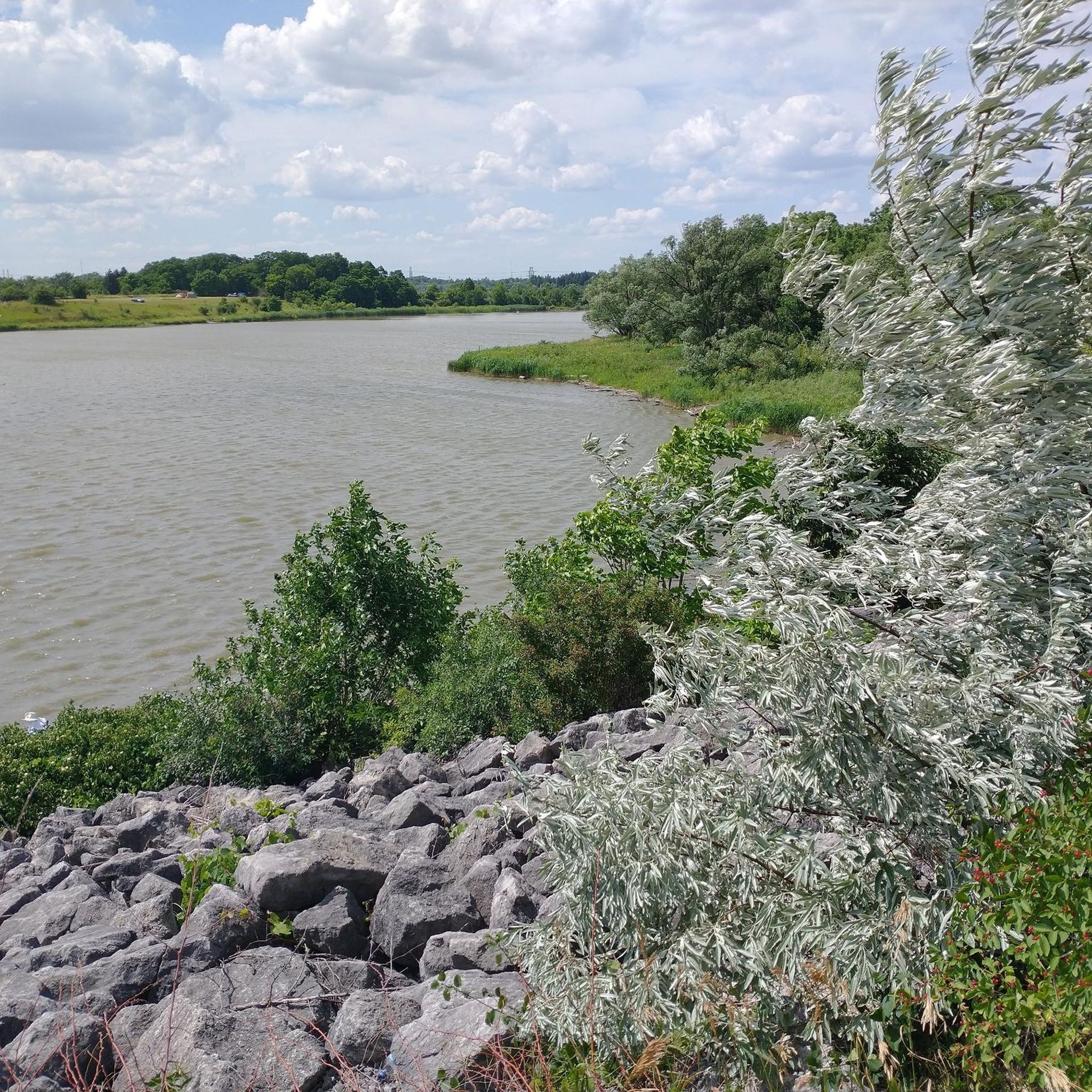
Claireville Reservoir was created in 1964 with the construction of Claireville Dam to help mitigate flooding along the West Humber River after the devastation of Hurricane Hazel. Today, its calm waters, wooded shoreline, and surrounding wetlands provide important wildlife habitat and create a peaceful backdrop for exploring the conservation area.
0
0
The West Humber River flows south from the Oak Ridges Moraine through Caledon, Brampton, and the Claireville Conservation Area before joining the main Humber River in Toronto. Designated as part of the Canadian Heritage Rivers System, this beautiful stretch winds through forest and wetlands, providing important habitat for fish, turtles, birds, and other wildlife.
0
0

You can find many wildflowers here in the summer. There is a paved walking path, sports courts, a playground, and shady areas on the lawn.
0
0
The trail is paved and sunny, and takes you between neighborhoods to Mapes Park. The path is lit at night and there is plenty of parking by the sports fields and restrooms by the trailhead at Rainbow Creek Park.
0
0

The West Humber River is paralleled for much of its run by the paved, multi-use West Humber River Recreational Trail. The river also passes along the edge of the beautiful Humber Arboretum, which is a great place to spend a warm afternoon.
0
0
The Paw Paw Trail is one of the many trails that wind through the Humber Arboretum. Along the path you'll enjoy the quiet as the lush vegetation envelopes you.
0
0
The Humber River spans 126 kilometres and flows from the Niagara Escarpment and Oak Ridges Moraine to Lake Ontario. Its watershed spans over 900 square kilometres and includes forests, meadows, wetlands, and urban areas, making it one of Toronto’s most ecologically and historically significant rivers. Designated a Canadian Heritage River in 1999, the Humber served as a vital travel corridor for Indigenous peoples and early European settlers, including along the Toronto Carrying-Place Trail.
0
0
Frequently Asked Questions
What kind of landscapes can I expect to see while hiking in Claireville Conservation Area?
Claireville Conservation Area offers a rich variety of natural settings. You'll hike through wetlands, lush valleys, dense pine forests, open grasslands, and peaceful meadows. The West Branch of the Humber River and its tributaries also flow through the area, adding to the scenic beauty and ecological diversity.
Are the hiking trails in Claireville Conservation Area suitable for families with children?
Yes, many trails in Claireville Conservation Area are suitable for families. The area features minimal elevation gain, typically around 30 meters, and offers a mix of wider, gravel-covered paths and more immersive side trails through the woods. The manageable distances and varied scenery make it a great place for all ages to explore.
What is the best time of year to visit Claireville Conservation Area for hiking?
Claireville Conservation Area is beautiful to visit year-round, as the landscape changes character with each season. Spring brings new growth, summer offers lush greenery, autumn showcases vibrant fall colors, and winter provides a serene, snow-covered experience. The trails are well-maintained, making it accessible in most conditions.
Are there any specific landmarks or points of interest to look out for on the trails?
While exploring the trails, you might encounter the historic Wiley Bridge, which is a notable point of interest within the conservation area. Beyond specific landmarks, the diverse ecosystems themselves, from the riverbanks to the pine forests, offer continuous natural beauty and points of interest.
What do other hikers enjoy most about Claireville Conservation Area?
The area is highly rated by the komoot community, with an average score of 4.5 stars. Reviewers often praise the diverse landscapes, from wetlands to forests, and the opportunity for wildlife sightings. Hikers appreciate the well-marked trails and the peaceful escape it offers so close to urban centers.
Are dogs allowed on the hiking trails in Claireville Conservation Area?
Yes, Claireville Conservation Area is generally dog-friendly. You can bring your dog along to enjoy the trails, but please ensure they are kept on a leash and that you clean up after them to help maintain the natural environment for everyone.
Are there any easy hiking routes for beginners or those looking for a relaxed walk?
Absolutely! Claireville Conservation Area offers several easy routes. For a relaxed experience, consider the Rainbow Creek Park Trail, which is just over 3.6 km. Another great option is the Humber Arboretum & West Humber River Valley Discovery Walk, an easy 4.2 km path that lets you explore the arboretum and river valley.
What are the options for longer or more challenging hikes in the area?
For those seeking a longer or more moderate challenge, Claireville Conservation Area has options. The Chinguacousy Trail — Brampton is a popular moderate route spanning nearly 14 km, taking around 3.5 hours to complete. Another moderate choice is the West Humber Recreation Trail — Etobicoke, which is over 18 km long.
Can I spot any wildlife while hiking in Claireville Conservation Area?
Yes, wildlife spotting is a common and enjoyable part of hiking in Claireville Conservation Area. The diverse habitats, including forests, meadows, and wetlands, attract a variety of animals. Deer are frequently seen grazing in the open meadows, and the area is also a popular spot for bird watching, with many different species attracted to the mixed environments.
Are there picnic areas available for visitors?
Yes, Claireville Conservation Area provides designated picnic areas. These spots offer scenic views and practical amenities, making them perfect for a family outing or a relaxing break during your hike.
How many hiking routes are available in Claireville Conservation Area?
There are over 5 hiking routes available in Claireville Conservation Area, catering to various preferences and fitness levels. These include easy walks and moderate hikes, allowing you to explore the diverse landscapes of the region.
Most popular routes in Claireville Conservation Area

Get inspired with the komoot mobile app


Explore more
Browse the best Hikes in other regions.
