The best walks and hikes around Frauenstein
4.6
(11212)
37,050
hikers
150
hikes
Hiking around Frauenstein, located in the Ore Mountains of Saxony, Germany, offers diverse landscapes for outdoor activities. The region is characterized by wooded hills, gentle valleys, and impressive rock formations, with many trails leading past idyllic streams. These features provide varied terrain for hikers of all experience levels within a low mountain range setting.
Best hiking trails around Frauenstein
- The most popular hiking route is Shelter on the Marktsteig – Pflüger Wald Parking Area loop from Dittersbach, a 7.9…
Last updated: August 20, 2026
4.6
(240)
735
hikers
Moderate hike. Good fitness required. Mostly accessible paths. Sure-footedness required.
4.6
(54)
136
hikers
Moderate hike. Good fitness required. Mostly accessible paths. Sure-footedness required.

Sign up for free
4.8
(39)
119
hikers
8.39km
02:15
100m
100m
Moderate hike. Good fitness required. Easily-accessible paths. Suitable for all skill levels.
4.9
(17)
53
hikers
6.32km
01:47
140m
140m
Easy hike. Great for any fitness level. Easily-accessible paths. Suitable for all skill levels.
4.4
(14)
38
hikers
7.71km
02:13
190m
190m
Moderate hike. Good fitness required. Easily-accessible paths. Suitable for all skill levels.
Get access to more routes and recommendations from other explorers.
Sign up for free
Already have an account?
Our route recommendations are based on thousands of hikes, rides, and runs completed by other people on komoot.
Start today with a free account
Your next adventure awaits.
Login or Signup
Popular around Frauenstein

Flying high on two wheels – bike holidays in the Ore Mountains
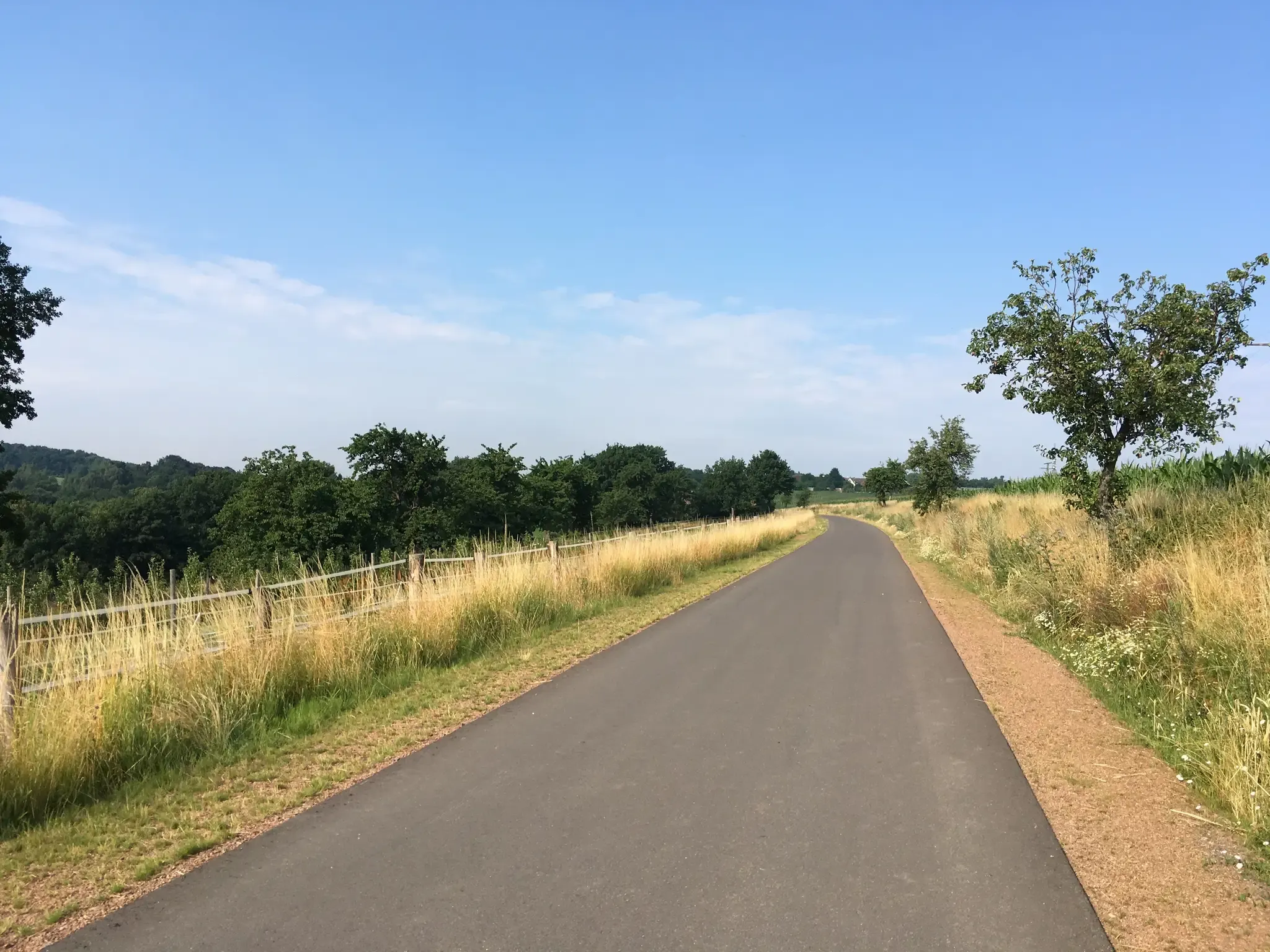
Full steam ahead – cycling through railway history around Dresden
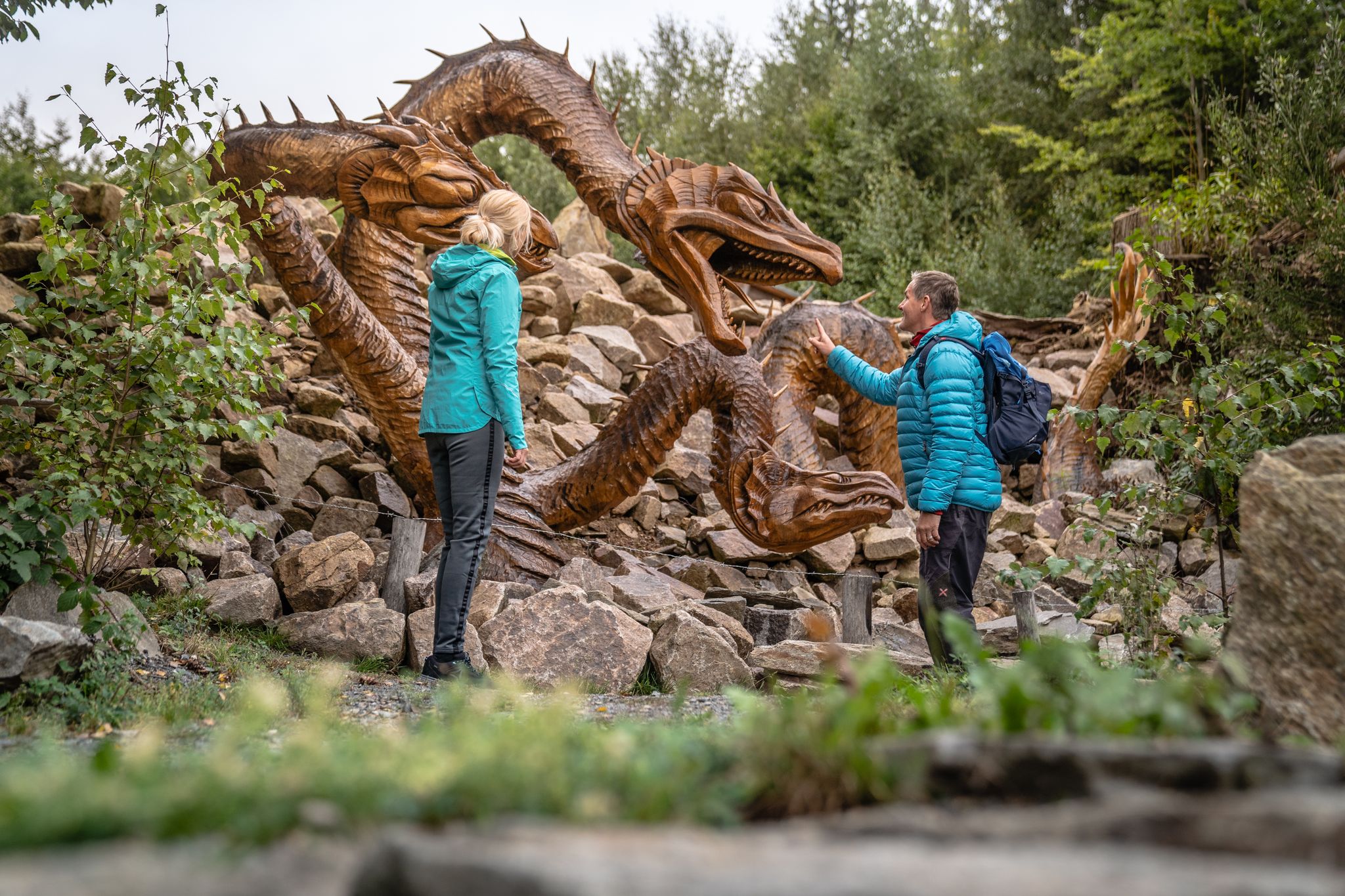
Wandertouren - Handwerk & Heimatgenuss
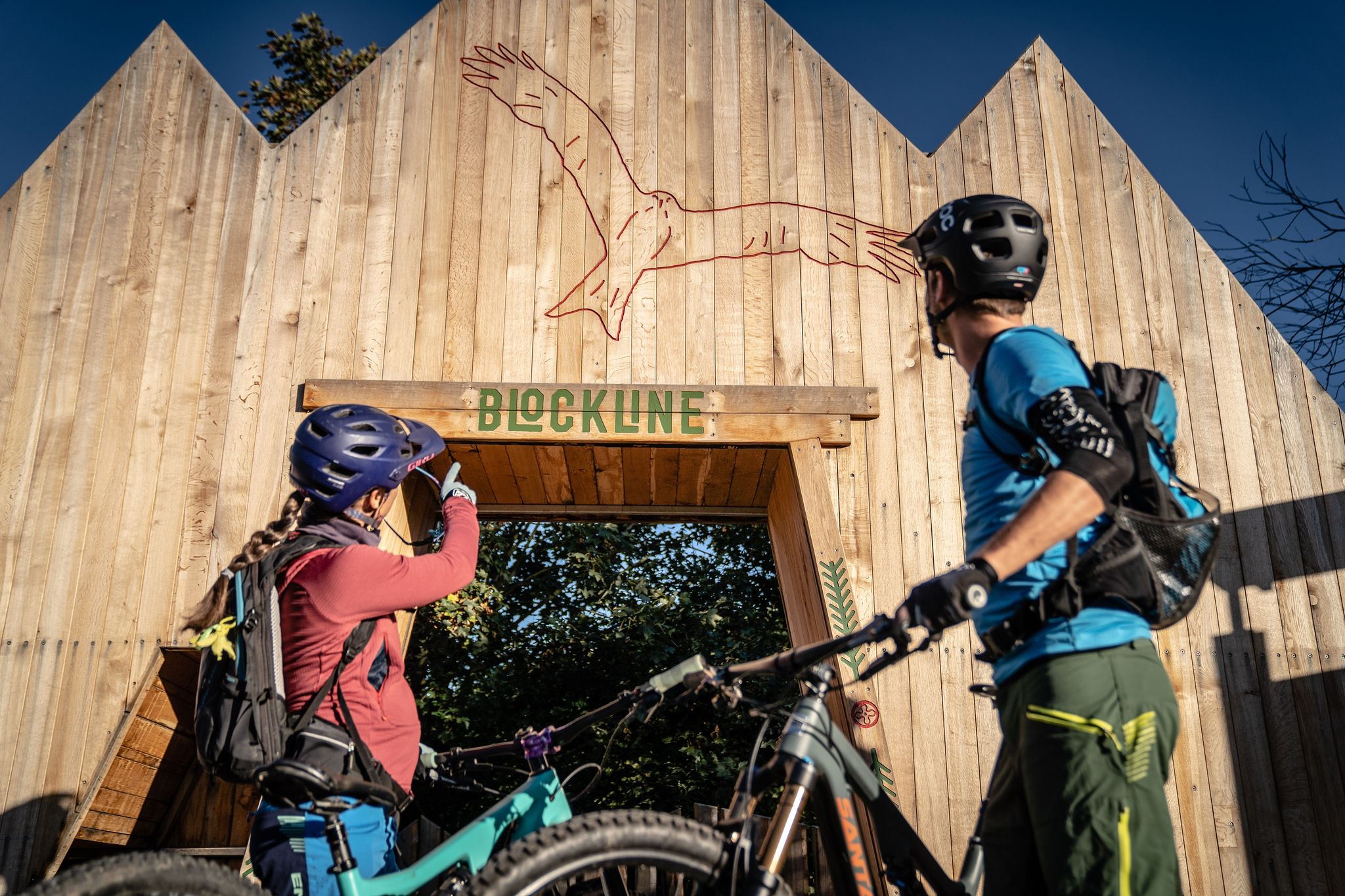
BLOCKLINE – Dein Bike-Abenteuer im Erzgebirge
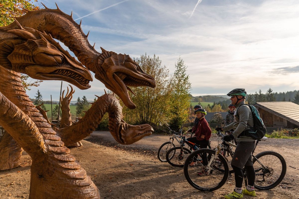
BLOCKLINE-Gesamtstrecke in 5 Tagen – Bike-Urlaub im Erzgebirge
Road Cycling Routes around Frauenstein
Cycling around Frauenstein
Running Trails around Frauenstein
MTB Trails around Frauenstein
Gravel biking around Frauenstein
Other adventures around Frauenstein


Tips from the Community


You learn a lot of interesting facts about silver mining.
0
1

Blockline: signposted bike route in parts of the Ore Mountains, mostly with rest areas
3
0

The Frauenstein Art Experience Trail is a 3.15 km circular trail in Frauenstein, Saxony, featuring artworks from the European Art Symposium and the nature trail. It is located partly near the castle ruins and in the mountain park. The trail is accessible with regular street shoes and is largely identical to the nature trail.
2
0
The Royal Saxon Triangulation was a national survey conducted between 1862 and 1890 that mapped the Kingdom of Saxony with a precise triangular network to create the basis for accurate maps. The network consisted of 158 points, including 36 main stations for the Central European Triangulation System, at which survey pillars were erected. These pillars are now technical monuments and bear witness to one of the most precise land surveys in Europe during the 19th century.
2
2
The ruins of Frauenstein Castle are located on a 680-meter-high granite porphyry rock on the ridge of the Eastern Ore Mountains near the town of Frauenstein in the district of Central Saxony. See: https://de.wikipedia.org/wiki/Burg_Frauenstein_(Erzgebirge)
3
1
Frauenstein Castle is a Renaissance castle in the Ore Mountains, located right next to a medieval castle ruin that is considered a landmark of the town and was built around 1200. The castle was built in 1585 to meet growing housing needs and today houses the Gottfried Silbermann Museum, dedicated to the famous organ builder. Unfortunately, it was hazy today, so we didn't have a view.
2
1
Behind the ruins of Frauenstein Castle, a rock with a pavilion protrudes, called the Zeisigstein. The name is said to derive from a captain of the Meissen burgraves, Zeisig. The following story is told about it: During the feud between Elector Frederick the Gentle and the Meissen burgrave Heinrich Reuss-Plauen, in which the former had his castle, Frauenstein, stormed and destroyed in 1438, a castle captain named Zeisig, who was defending it, was supposedly beheaded as a rebel on the aforementioned rock. Even today, the door through which this burgrave's vassal was supposedly led to his execution can be seen in the castle ruins' ring wall. See: https://www.erzgebirge-museum.de/content/view/1572/3305/
3
1
Frequently Asked Questions
How many hiking trails are available around Frauenstein?
Frauenstein offers a wide variety of hiking experiences, with over 150 trails to explore. These routes cater to all levels, from easy strolls through gentle valleys to more challenging mountain tours in the Ore Mountains.
What do other hikers enjoy most about hiking in Frauenstein?
The hiking trails around Frauenstein are highly rated by the komoot community, with an average score of 4.6 stars from over 750 reviews. Hikers often praise the diverse landscapes, including wooded hills, impressive rock formations, and idyllic streams. The panoramic views, especially from places like Frauenstein Castle, are also frequently highlighted.
Are there easy hiking trails suitable for beginners in Frauenstein?
Yes, Frauenstein has over 60 easy hiking trails perfect for beginners or those looking for a relaxed walk. An example is the Goldene Scheibe mining field – Rathsmühle Shelter loop from Frauenstein, which is a pleasant 6.3 km route through the local landscape.
Can I find challenging day hikes around Frauenstein?
For more ambitious hikers, Frauenstein offers several challenging routes. The region features 12 difficult trails, and for a truly demanding experience, the 'Kammweg' provides a 35 km circular hike extending towards Holzhau and returning via the Gimmlitz valley, known for its historic mills.
Are there circular hiking trails in Frauenstein?
Yes, numerous circular hiking trails are available around Frauenstein, offering varied experiences. Many of the popular routes are loops, such as the Pflüger Wald Parking Area – Bench With View of the Dam loop from Frauenstein, which is a moderate 17.6 km path with scenic views.
Are there family-friendly hiking options in Frauenstein?
Frauenstein is a great destination for families. The 'Wilde Wege' (Wild Paths) nature trail is particularly recommended, offering engaging information about local flora and fauna, making it an educational and exciting experience for children.
What interesting landmarks or attractions can I see along the hiking trails?
Hiking trails around Frauenstein often lead to fascinating landmarks. A highlight is the Frauenstein Castle Ruins, which offers magnificent panoramic views. You might also encounter historic mills along the Gimmlitz valley, such as on the Kummermühle Art Rest Area – Illing Mill — Historic Sawmill loop from Nassau.
Are there any trails that pass by dams or reservoirs?
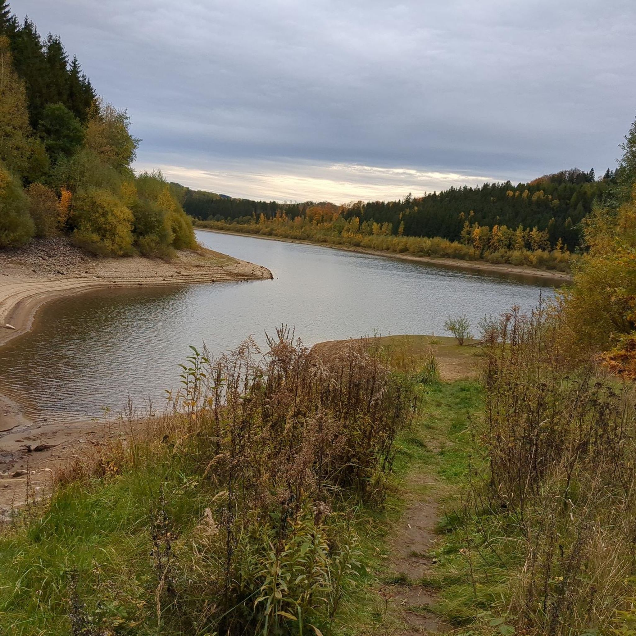
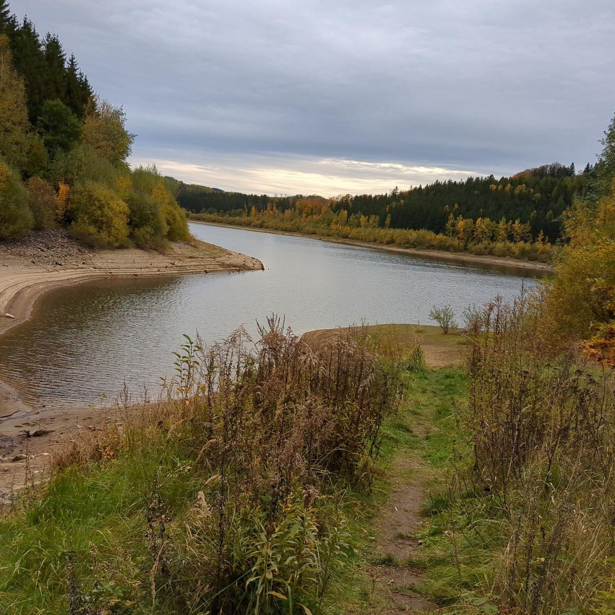
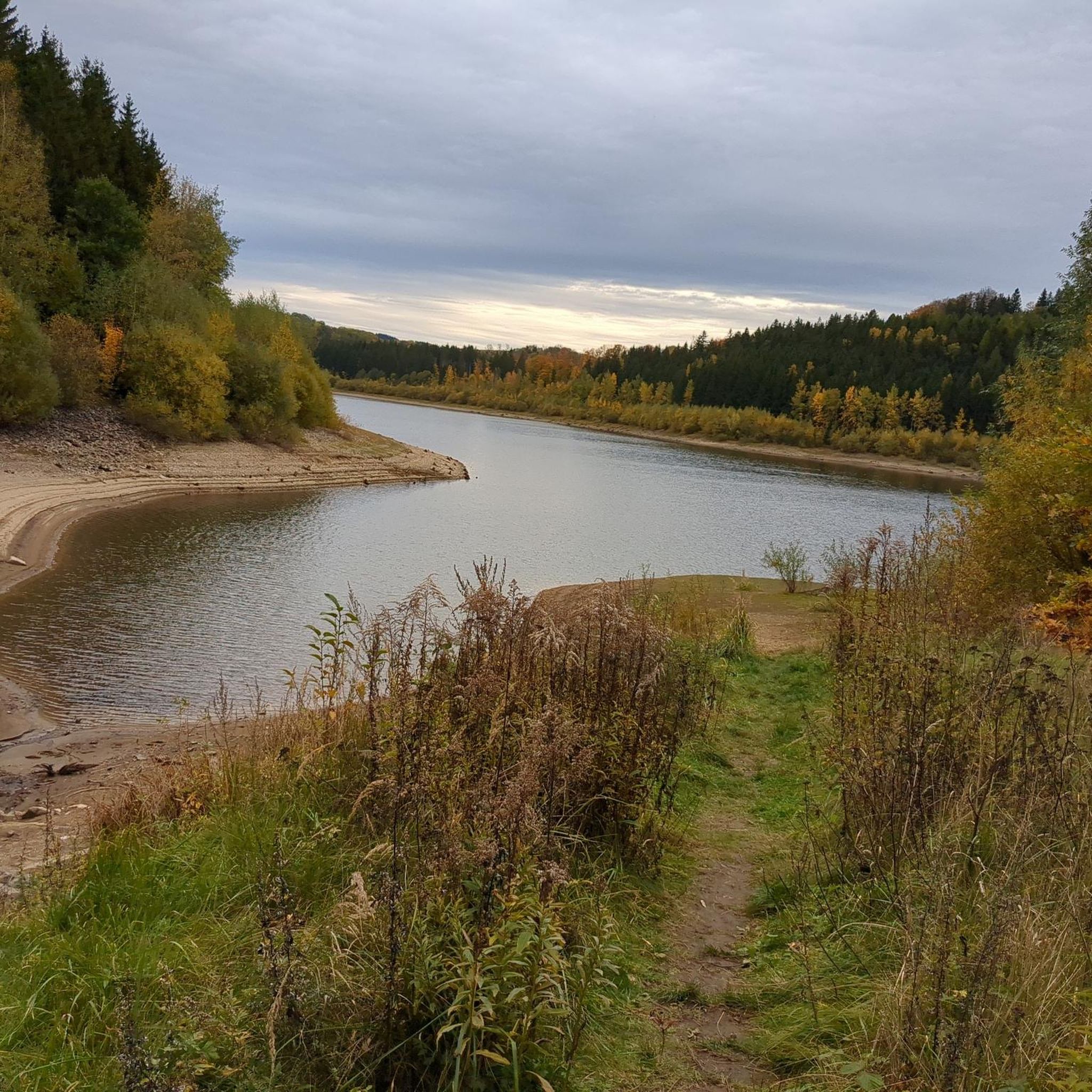
Yes, some hiking routes in the Frauenstein area offer scenic views of nearby dams and reservoirs. The Pflüger Wald Parking Area – Bench With View of the Dam loop from Frauenstein specifically features a bench overlooking a dam, and the Rauschenbach Dam is also integrated into various routes.
Is Frauenstein a good place for dog-friendly walks?
Frauenstein's natural landscape with its wooded hills and valleys provides many opportunities for dog-friendly walks. Most trails are suitable for dogs, but it's always advisable to keep them on a leash, especially in nature protection areas or near wildlife.
What is the best time of year to hike in Frauenstein?
The Ore Mountains around Frauenstein are beautiful year-round. Spring and autumn are particularly stunning, with vibrant colors in the forests. Summer offers pleasant temperatures for longer hikes, while winter provides opportunities for snowy walks, though some trails might require appropriate gear.
Are there viewpoints along the hiking trails in Frauenstein?
Many trails in Frauenstein offer excellent viewpoints. The hike to Frauenstein Castle Ruins is renowned for its magnificent panoramic views of the surrounding Ore Mountains. Impressive rock formations also provide natural vantage points along various routes.
Where can I find parking for hiking trails in Frauenstein?
Parking is generally available at the starting points of many popular trails. For instance, the Shelter on the Marktsteig – Pflüger Wald Parking Area loop from Dittersbach indicates a parking area at Pflüger Wald, which serves as a convenient starting point for several routes.
Most popular routes around Frauenstein
Most popular attractions around Frauenstein

Get inspired with the komoot mobile app


Explore more
Browse the best Hikes in other regions.
