The best MTB trails in Sic Fiume Marta (Alto Corso)
4.3
(418)
1,784
riders
81
rides
Mountain biking in Sic Fiume Marta (Alto Corso) offers a diverse landscape characterized by the Marta river's upper course, rolling hills, and agricultural plains. The region, part of a natural park near Viterbo, features a mix of open terrain and forested sections. Mountain bike trails here often connect historic towns and provide views of the surrounding countryside. The elevation changes are generally moderate, making it accessible for various skill levels.
Best mountain bike trails in Sic Fiume Marta (Alto Corso)
…Last updated: July 5, 2026
5
riders
35.4km
02:58
460m
460m
Moderate mountain bike ride. Good fitness required. Suitable for all skill levels.
2
riders
15.8km
01:23
260m
260m
Easy mountain bike ride. Great for any fitness level. Suitable for all skill levels.

Sign up for free
4.7
(3)
11
riders
41.6km
03:05
440m
440m
Moderate mountain bike ride. Good fitness required. Advanced riding skills necessary.
3.0
(1)
9
riders
55.6km
04:13
710m
710m
Moderate mountain bike ride. Good fitness required. Suitable for all skill levels.
2
riders
41.6km
03:05
510m
510m
Moderate mountain bike ride. Good fitness required. Suitable for all skill levels.
Get access to more routes and recommendations from other explorers.
Sign up for free
Already have an account?
Our route recommendations are based on thousands of hikes, rides, and runs completed by other people on komoot.
Start today with a free account
Your next adventure awaits.
Login or Signup

Tips from the Community

Located in the heart of the village of Marta, on the southern shore of Lake Bolsena, the Clock Tower is one of the main historical and tourist attractions of the area. This medieval tower, which stands majestically in the historic center, is not only a symbol of the city, but also a witness to centuries of history, art and local traditions. The Clock Tower stands imposingly at 21 meters high. Its structure is characterized by a truncated pyramid base with a square plan and an octagonal body that culminates with a small octagonal tower about 2.5 meters high, where the clock bells are located. This clock, installed in 1575 during the Farnese domination, is one of the distinctive elements of the tower. Originally, the tower was part of the Rocca, a medieval fortification that has seen numerous restorations and alterations due to the turbulent historical events of the village. The tower has survived various modifications and reconstructions, and today represents one of the most fascinating testimonies of Marta's past. (c) https://www.visittuscia.eu/torre-orologio-marta/
0
0

Beautiful little holiday home with a beautiful garden and amazing views of Montefiascone Beautiful apartments, very clean
4
0
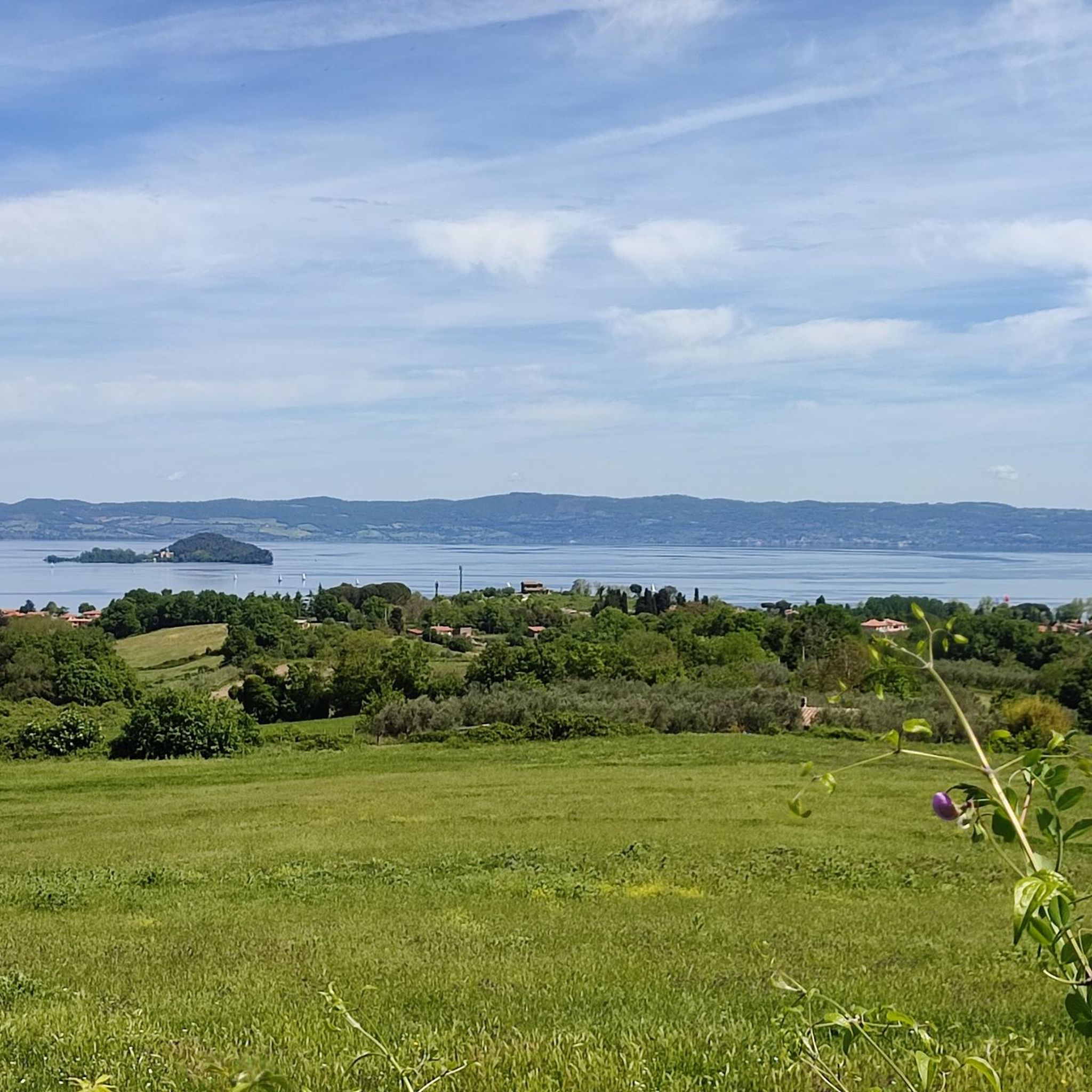
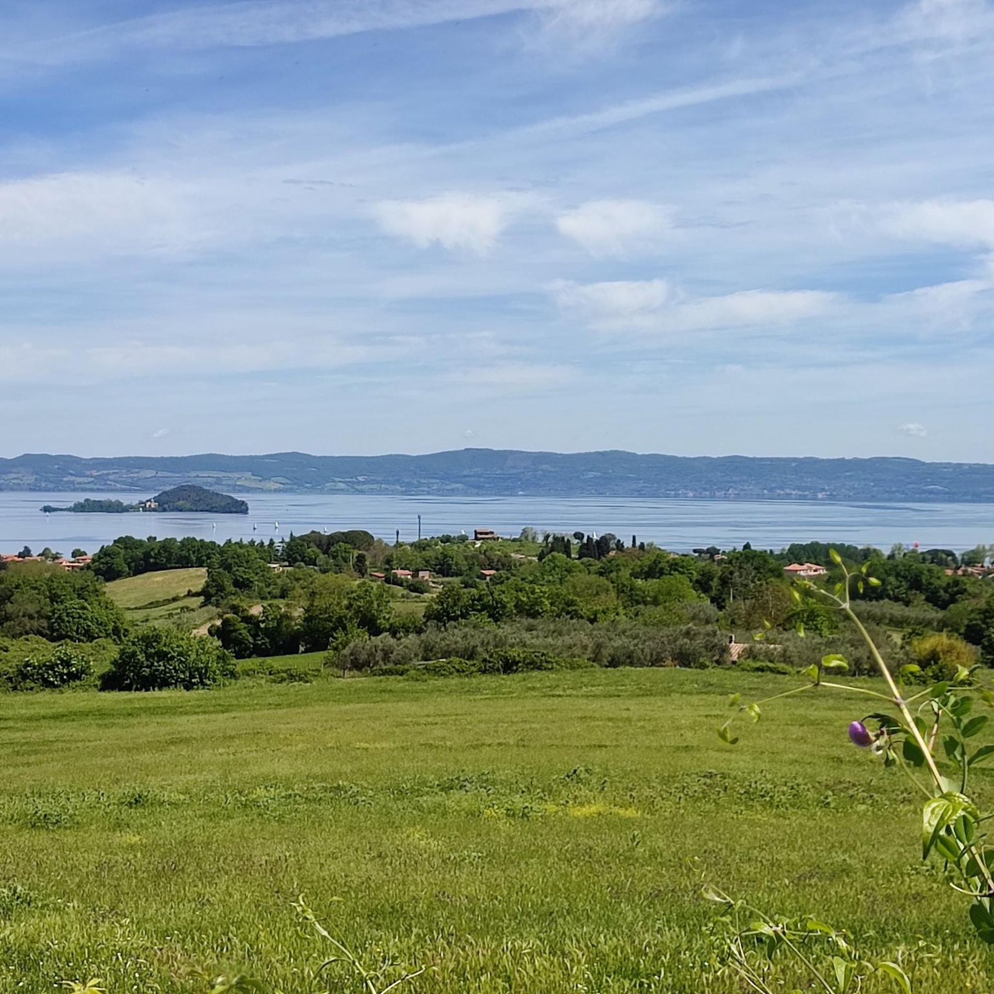
beautiful view of Montefiascone
3
0
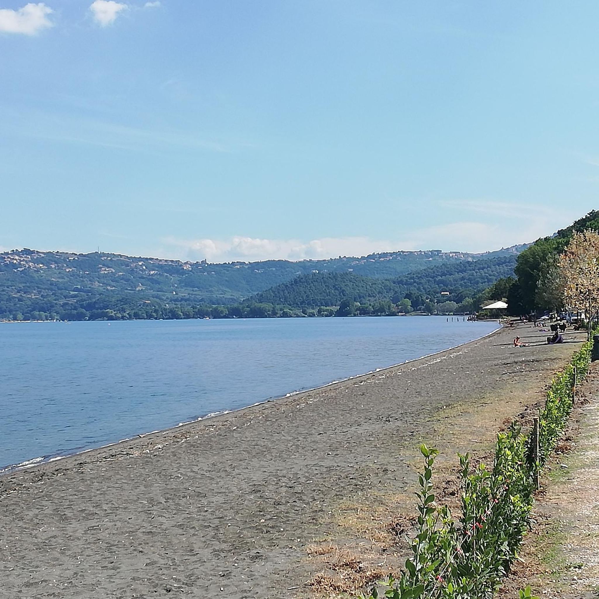
beautiful view of the lake
3
0

What can be enjoyed today from the medieval walls of Tuscania is one of the most beautiful landscapes of Tuscia.
0
0

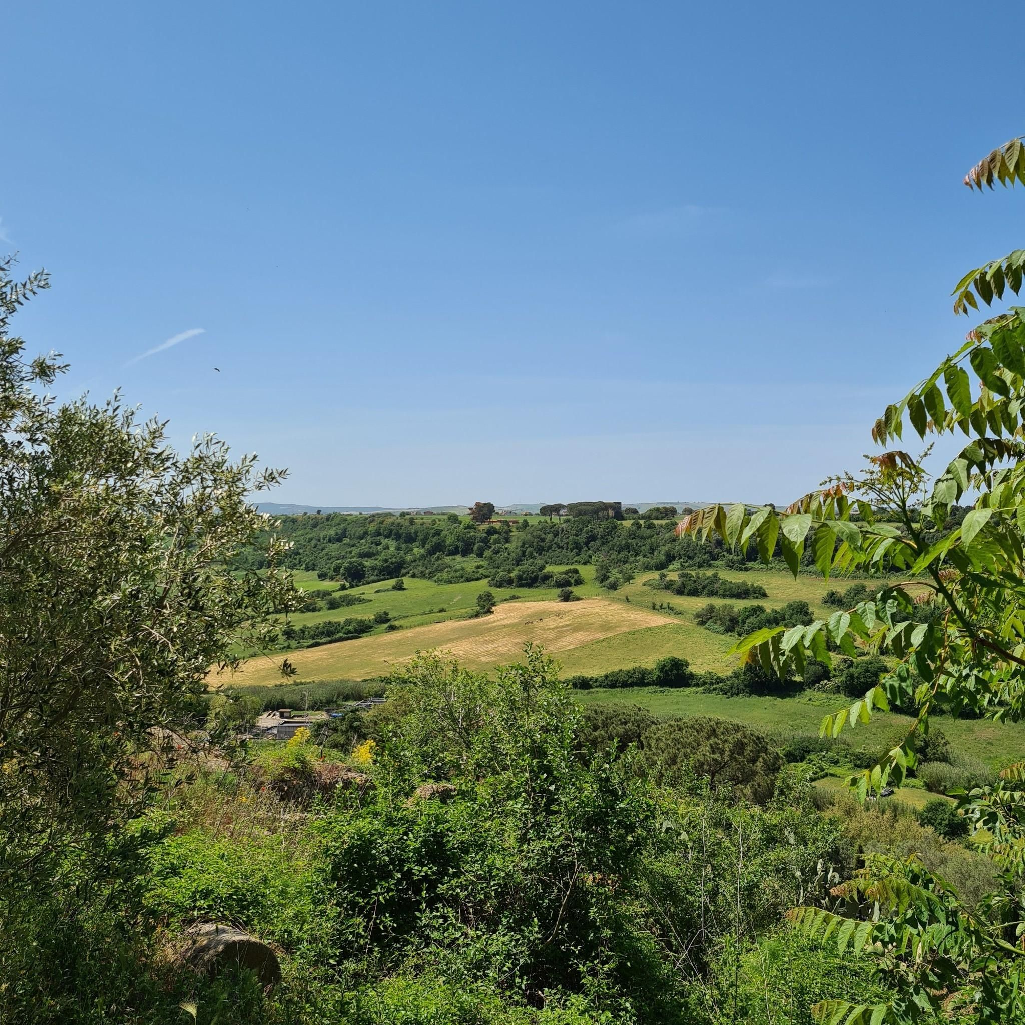
stretch of road a stone's throw from Tuscania immersed in the woods, suitable for mountain bikes and gravel bikes, not suitable for road bikes.
0
0

Lago di Bolsena is the largest volcanic lake (crater lake) in Europe. The lake lies in the previously volcanically active zone of the so-called Apparato Vulsinio. It fills a caldera that was formed by the collapse of underground magma chambers following powerful, explosive volcanic eruptions, an estimated 300,000 years ago
2
1

Definitely worth a detour. You should take a few hours to a whole day because there is a lot to discover and visit.
0
0
Frequently Asked Questions
How many mountain bike trails are available in Sic Fiume Marta (Alto Corso)?
There are over 90 mountain bike trails in Sic Fiume Marta (Alto Corso) recorded on komoot. These routes cater to various skill levels, with 10 easy, 70 moderate, and 11 difficult options.
Are there easy mountain bike trails suitable for beginners in Sic Fiume Marta (Alto Corso)?
Yes, Sic Fiume Marta (Alto Corso) offers several easy mountain bike trails perfect for beginners. An excellent option is the Historic Center of Marta loop from Marta, which is a gentle 9.8-mile (15.8 km) ride around the historic center of Marta and its surroundings.
What are some longer mountain bike routes for experienced riders in the region?
For experienced riders looking for longer routes, the region offers several moderate to challenging options. The Tuscania – Marta loop from Tuscania covers 34.6 miles (55.6 km) with significant elevation, while the View of the Castle of Tuscania – Tuscania loop from Tuscania is a 35.7-mile (57.5 km) route offering expansive views.
Are there any circular mountain bike routes in Sic Fiume Marta (Alto Corso)?
Yes, many mountain bike routes in Sic Fiume Marta (Alto Corso) are designed as loops, allowing you to start and finish in the same location. Popular circular routes include the Tuscania – Tuscania loop from Marta and the Marta – Tuscania loop from Tuscania.
What is the best time of year for mountain biking in Sic Fiume Marta (Alto Corso)?
The moderate elevation changes and Mediterranean climate make spring and autumn ideal for mountain biking in Sic Fiume Marta (Alto Corso). The weather is typically pleasant, and the natural landscape is at its most vibrant. Summer can be hot, especially in July and August, while winter can bring cooler temperatures and occasional rain.
Where can I find parking near the mountain bike trails in Sic Fiume Marta (Alto Corso)?
Parking is generally available in the historic towns and villages that serve as starting points for many trails, such as Marta and Tuscania. Look for designated parking areas within or on the outskirts of these towns.
Are there any specific permits required for mountain biking in Sic Fiume Marta (Alto Corso)?
Generally, no specific permits are required for mountain biking on the established trails in Sic Fiume Marta (Alto Corso). However, as parts of the region are within a natural park, always respect local regulations, stay on marked paths, and be mindful of protected areas.
What do other mountain bikers enjoy most about the trails in Sic Fiume Marta (Alto Corso)?
The area is highly rated by the komoot community, with an average score of 4.5 stars from over 400 reviews. Reviewers often praise the diverse landscape, which combines river valleys, rolling hills, and agricultural land, as well as the opportunity to connect with historic towns.
Are there any cafes or places to eat near the mountain bike trails?
Yes, the historic towns like Marta and Tuscania, which are often starting or ending points for trails, offer various cafes, restaurants, and local eateries where you can refuel and enjoy regional cuisine.
Can I find family-friendly mountain bike trails in Sic Fiume Marta (Alto Corso)?
Absolutely. The region's generally moderate elevation changes and easy routes make it suitable for families. The Historic Center of Marta loop from Marta is a particularly good choice for a gentle, family-friendly ride.
What kind of terrain can I expect on mountain bike trails in Sic Fiume Marta (Alto Corso)?
You can expect a diverse landscape characterized by the Marta river's upper course, rolling hills, and agricultural plains. Trails often feature a mix of open terrain and forested sections, with generally moderate elevation changes, making them accessible for various skill levels.
Most popular routes in Sic Fiume Marta (Alto Corso)

Get inspired with the komoot mobile app


Explore more
Browse the best MTB trails in other regions.
