The best cycling routes in Oasi Valtrigona
4.3
(15)
244
riders
9
rides
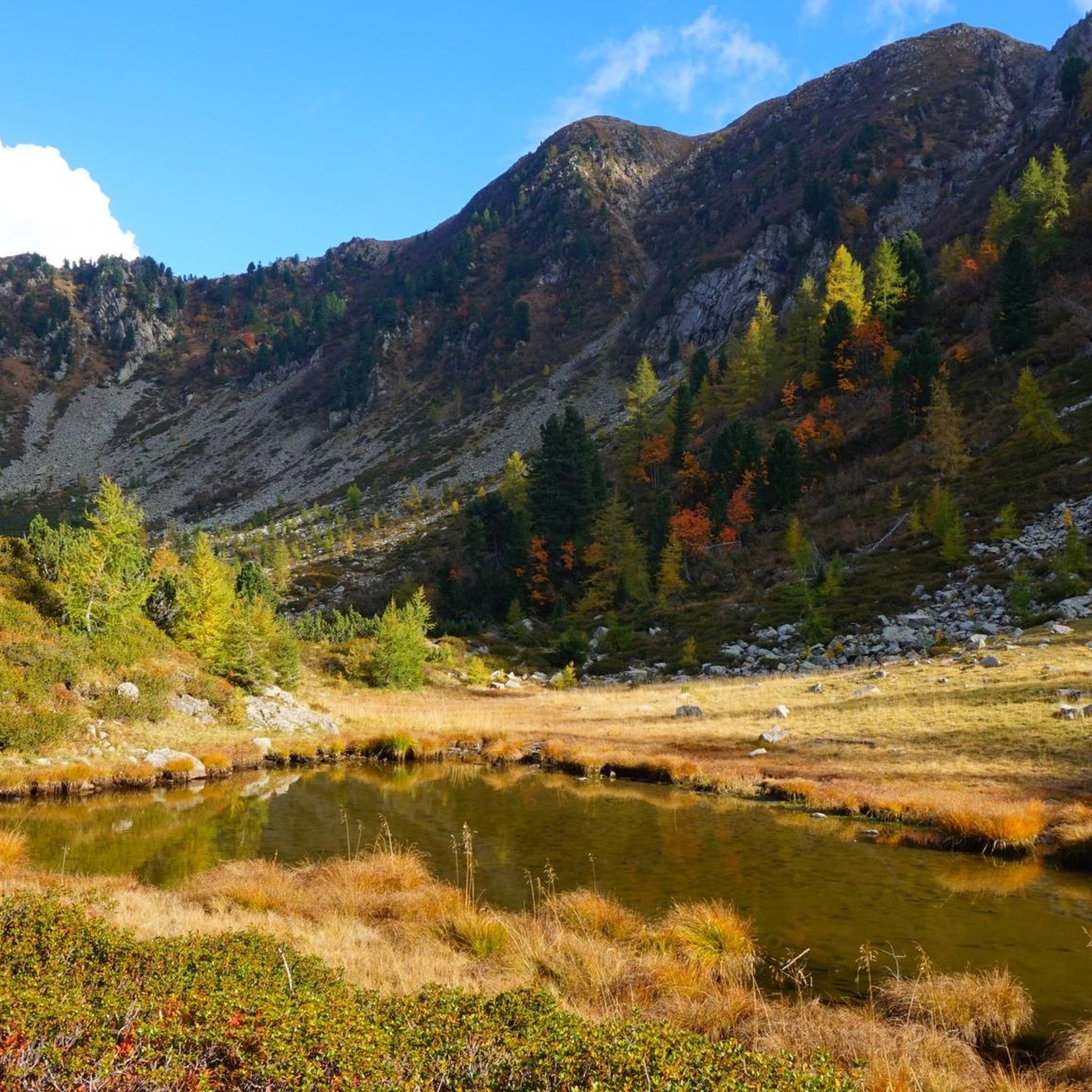
Touring cycling in Oasi Valtrigona and its surrounding regions offers routes through a high mountain environment, characterized by extensive alpine forests of larch and Swiss pine. While the core Oasi Valtrigona is a protected WWF oasis primarily for hiking, the broader Lagorai Mountain Range and Valsugana area provide challenging touring cycling opportunities. The landscape features altitudes ranging from 5,250 to 7,218 feet (1,600 to 2,200 meters), with routes often traversing scenic secondary roads and mountain passes.
Best touring cycling routes…
Last updated: July 5, 2026
5.0
(3)
15
riders
20.3km
01:53
860m
860m
Hard bike ride. Very good fitness required. Mostly paved surfaces. Suitable for all skill levels.
5.0
(3)
14
riders
25.7km
02:20
1,040m
1,040m
Hard bike ride. Very good fitness required. Mostly paved surfaces. Suitable for all skill levels.

Sign up for free
10
riders
Hard bike ride. Very good fitness required. You may need to push your bike for some segments of this route.
9
riders
16.1km
01:46
600m
600m
Hard bike ride. Very good fitness required. Mostly paved surfaces. Suitable for all skill levels.
32
riders
15.5km
01:47
650m
650m
Hard bike ride. Very good fitness required. Mostly paved surfaces. Suitable for all skill levels.
Get access to more routes and recommendations from other explorers.
Sign up for free
Already have an account?
Our route recommendations are based on thousands of hikes, rides, and runs completed by other people on komoot.
Start today with a free account
Your next adventure awaits.
Login or Signup
Popular around Oasi Valtrigona
Tips from the Community

On the forest road to passo 5 croci: malga Valsorda first
0
0
The beautiful forest road to reach passo 5 croci
0
0


The best view is from the last twister within the last kilometer of the climb, where you can clearly see the previous 2-3 kilometers and the significant gradient that lies ahead.
0
0

Some asphalt hairpin bends which then become dirt road up to the Cinque Croci pass
0
0
Beautiful forester
0
0

It's always good to know how to balance the moisture content.
0
0

The Manghen pass is located at 2,047 meters above sea level and connects Valsugana with Val di Fiemme. Located among the peaks of the Lagorai chain, several hiking trails start from the pass, including the Alta Via del Centenario and the Alta Via Lagorai Panorama.
4
0
Frequently Asked Questions
Can I cycle directly within the Oasi Valtrigona WWF protected area?
No, the core Oasi Valtrigona WWF protected area is primarily designated for hiking and nature observation on foot. Strict rules are in place to protect its fragile ecosystem, and cycling is generally restricted to designated access routes or the broader surrounding regions. The well-known nature trail (CAI-SAT 374) within the oasis is for hikers only.
What kind of touring cycling opportunities are available in the broader Oasi Valtrigona region?
While the oasis itself is for hiking, the surrounding Valsugana and Lagorai regions offer extensive and appealing opportunities for touring cycling. You can expect challenging routes through alpine forests, high mountain passes, and scenic secondary roads. The area is known for its diverse landscapes, from dense woods to panoramic mountain viewpoints.
What is the general difficulty level of touring cycling routes near Oasi Valtrigona?
The touring cycling routes in the immediate vicinity of Oasi Valtrigona, particularly those listed in this guide, are generally considered difficult. They feature significant elevation gains and challenging climbs, such as those found on routes leading to the Manghen Pass. There are 8 such routes listed in this guide.
Are there any easy or family-friendly touring cycling routes in the Oasi Valtrigona area?
While the routes directly associated with the Oasi Valtrigona in this guide are difficult, the broader Valsugana region offers easier options. The Valsugana Cycle Path, for instance, is an 80 km route connecting Lake Caldonazzo with Bassano del Grappa, which is mostly flat and suitable for a wide range of cyclists, including families.
Which routes offer challenging climbs and panoramic views?
For challenging climbs and expansive alpine scenery, consider routes like the Passo Manghen Terrace – Passo Manghen (2047m) loop from Salvadori or the Passo Manghen – Passo Manghen Terrace loop from Passo Manghen. Both feature significant ascents towards the notable Manghen Pass, offering rewarding views.
Are there any circular touring cycling routes available?
Yes, many of the touring cycling routes in the Oasi Valtrigona region are designed as loops. For example, you can explore the Monte Gronlait Summit and View loop from Palù del Fersina - Palai en Bersntol, which takes you through alpine forests and provides mountain views.
What kind of landscapes will I encounter on a touring cycling trip in this region?
You will primarily encounter a high mountain environment characterized by extensive alpine forests of larch and Swiss pine. Routes often traverse scenic secondary roads, winding through gorges, mountain meadows, and dense conifer forests, with impressive mountain scenery from the Lagorai Mountain Range as a constant backdrop.
What do other touring cyclists enjoy the most about cycling near Oasi Valtrigona?
The area is highly rated by the komoot community, with an average score of 4.4 stars from over 13 reviews. Cyclists often praise the challenging nature of the routes, the stunning alpine scenery, and the opportunity to explore the rugged terrain of the Lagorai Mountain Range.
Are there multi-day touring cycling routes in the Lagorai region?
Yes, for those seeking a longer adventure, the Lagorai region offers multi-day routes. A notable example is the 'Grand Tour Dolomiti Lagorai Bike,' a spectacular route spanning 270 kilometers with over 9,500 meters of elevation gain, traversing two Natural Parks and passing by alpine lakes.
What is the best time of year for touring cycling in the Oasi Valtrigona area?
The best time for touring cycling in this high mountain environment is typically from June to October, when the nature trails within the oasis are accessible and the mountain passes are generally clear of snow. Always check local weather conditions before planning your trip, especially for higher altitude routes.
Where can I find parking for touring cycling routes in the Oasi Valtrigona area?
Parking is generally available in villages and at starting points for routes in the surrounding areas. For example, if you plan to visit the oasis itself, you can typically find parking near Malga Valtrighetta, which serves as an access point to the protected area.
Are there any other notable cycling routes besides those around Manghen Pass?
Beyond the Manghen Pass routes, you can explore other challenging loops such as the Col Scandolera loop from Musiera di Sotto or the Passo Cinque Croci – Five Crosses Pass loop from Val Campelle. These routes also offer significant climbs and immerse you in the alpine landscape.
Most popular routes in Oasi Valtrigona

Get inspired with the komoot mobile app


Explore more
Browse the best Cycling routes in other regions.
