Réserve Naturelle Régionale Du Lac D'Aiguebelette
Réserve Naturelle Régionale Du Lac D'Aiguebelette
The best road cycling routes in Réserve Naturelle Régionale Du Lac D'Aiguebelette
4.6
(521)
13,171
riders
22
rides
Road cycling routes in Réserve Naturelle Régionale Du Lac D'Aiguebelette traverse a landscape characterized by the emerald-green Lac d'Aiguebelette, surrounded by the Montagne de l'Epine and Le Mont Grelle. This region offers varied topography, from flat lakeside paths to challenging mountain passes. Cyclists can explore a mix of forests, rural areas, and routes that connect to the Chartreuse Regional Natural Park. The area is known for its protected natural environment and diverse terrain suitable for road cycling.
Best road cycling…
Last updated: October 18, 2026
4.2
(11)
299
riders
69.6km
03:45
1,340m
1,340m
Hard road ride. Very good fitness required. Some segments of this route may be unpaved and difficult to ride.
5.0
(12)
263
riders
64.1km
04:20
2,070m
2,070m
Hard road ride. Very good fitness required. Mostly well-paved surfaces and easy to ride.

5.0
(5)
176
riders
84.0km
05:02
2,050m
2,050m
Hard road ride. Very good fitness required. Some segments of this route may be unpaved and difficult to ride.
4.7
(9)
156
riders
Moderate road ride. Good fitness required. Some segments of this route may be unpaved and difficult to ride.
5.0
(5)
191
riders
73.4km
04:17
1,660m
1,660m
Hard road ride. Very good fitness required. Some segments of this route may be unpaved and difficult to ride.
Get access to more routes and recommendations from other explorers.
Already have an account?
Our route recommendations are based on thousands of hikes, rides, and runs completed by other people on komoot.
Start today with a free account
Your next adventure awaits.
Popular around Réserve Naturelle Régionale Du Lac D'Aiguebelette
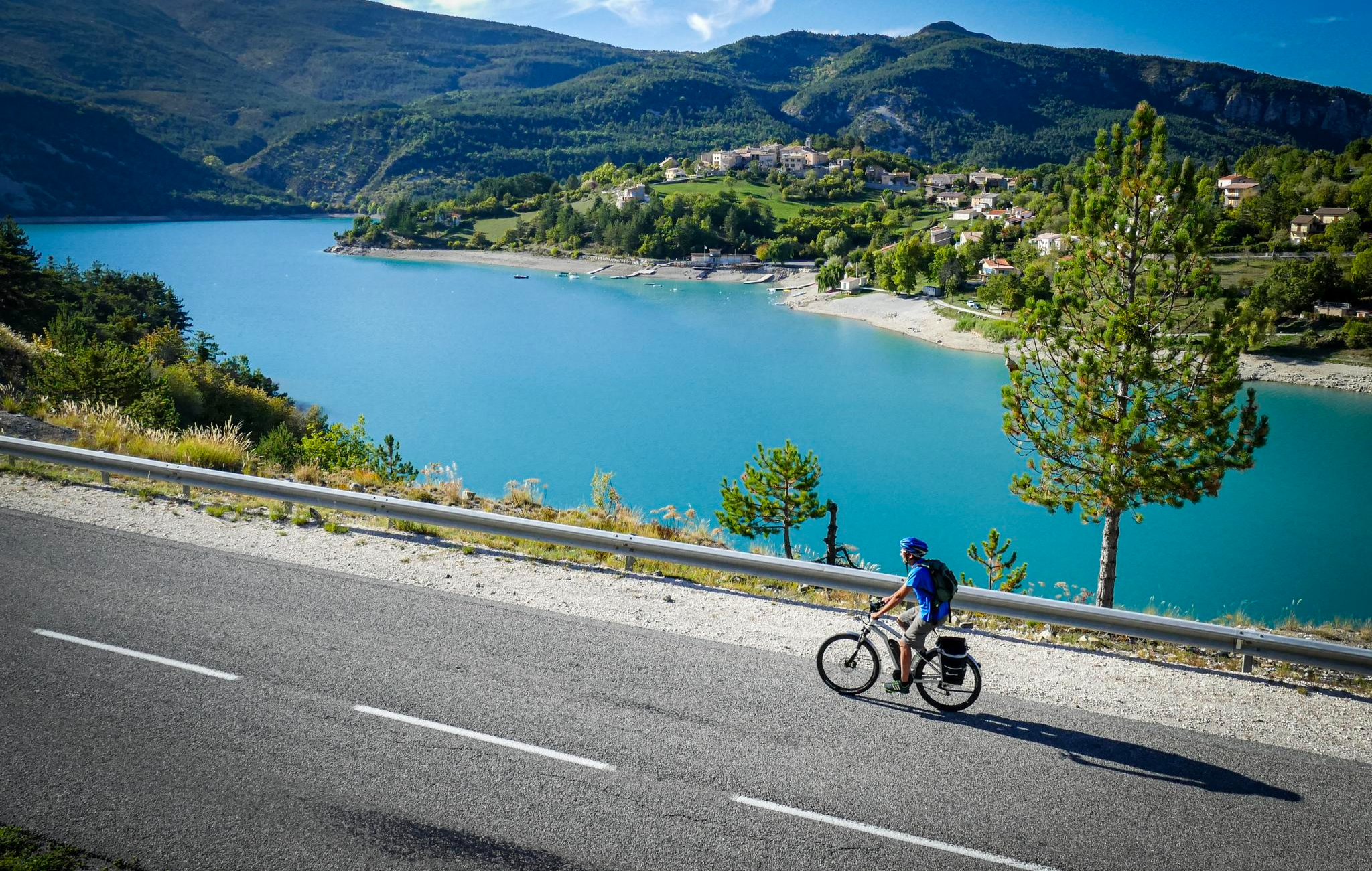
P'tites Routes du Soleil (Little Routes of the Sun)

Cycling in Réserve Naturelle Régionale Du Lac D'Aiguebelette

Running Trails in Réserve Naturelle Régionale Du Lac D'Aiguebelette

MTB Trails in Réserve Naturelle Régionale Du Lac D'Aiguebelette

Hiking in Réserve Naturelle Régionale Du Lac D'Aiguebelette

Gravel biking in Réserve Naturelle Régionale Du Lac D'Aiguebelette
Other adventures in Réserve Naturelle Régionale Du Lac D'Aiguebelette

Tips from the Community

Proper climb from Chambery, beautiful views of the Chartreuse.
0
0
Divided village, Savoie and Isère, as well as churches and restaurants.
2
0
Small street, beautiful views.
2
0
Castle of the Templars, currently under renovation.
2
0
Unfortunately, the D1006 is heavily trafficked, but luckily mostly with a bike lane uphill. No major climbs, but it drags on.
2
0

I love this village. It's an ideal starting point for a hike to the Cirque de Saint-Même.
0
0

It's a must-see place with a magnificent view of Lake Bourget.
1
0
Frequently Asked Questions
How many road cycling routes are available in Réserve Naturelle Régionale Du Lac D'Aiguebelette?
There are over 20 road cycling routes in the Réserve Naturelle Régionale Du Lac D'Aiguebelette, offering a variety of experiences for different skill levels. You'll find a mix of moderate and challenging options.
What kind of terrain and elevation can I expect on the road cycling routes?
The region offers diverse terrain, from relatively flat sections around the emerald-green Lac d'Aiguebelette to challenging mountain passes like the Col de l'Épine. Routes can feature significant elevation gains, with some difficult rides covering over 60 km and more than 1,000 meters of ascent. You'll encounter well-paved surfaces, forests, and rural landscapes.
Are there any family-friendly or easy road cycling routes around Lac d'Aiguebelette?
While many routes in the immediate guide are more challenging, the region is known for an easy 16.8 km (10.5-mile) road loop directly around Lac d'Aiguebelette, which is ideal for families or those seeking a more relaxed ride with continuous lake views. This loop is generally flat and suitable for all ages.
What are some of the most challenging road cycling routes in the area?
For experienced cyclists seeking a challenge, routes like the Col de l'Épine – Col de l'Épine viewpoint loop from Nances (61.7 km with over 2,000m elevation gain) or the Col de l'Épine viewpoint – Col du Chat loop from Lépin le Lac - La Bauche (73.2 km with over 1,600m elevation gain) offer significant climbs and rewarding panoramic views.
What natural features or viewpoints can I see along the road cycling routes?
Cyclists can enjoy superb panoramic views of the emerald Lac d'Aiguebelette and the surrounding mountains, including the Montagne de l'Epine and Le Mont Grelle. The ascent of the Col de l'Épine, for instance, offers breathtaking vistas of the lake on one side and Chambéry and Lac du Bourget on the other. The region is also a protected natural area, ensuring pristine landscapes.
Are there any specific attractions or landmarks to look out for?
The centerpiece is the stunning Lac d'Aiguebelette itself, known for its unique emerald-green waters and two small, unspoiled islands. You can also explore areas connected to the Chartreuse Regional Natural Park, which offers further scenic beauty. The region is often referred to as The Savoyard Antilles due to the lake's warm, turquoise waters.
What is the best time of year to go road cycling in Réserve Naturelle Régionale Du Lac D'Aiguebelette?
The region is excellent for cycling from spring through autumn. Lac d'Aiguebelette is one of France's warmest natural lakes, reaching up to 28°C in summer, making it pleasant for post-ride dips. While specific winter conditions vary, some routes may be accessible, but it's always best to check local weather forecasts and road conditions for higher passes during colder months.
Are there circular road cycling routes available?
Yes, many of the routes in the Réserve Naturelle Régionale Du Lac D'Aiguebelette are designed as loops, allowing you to start and finish at the same point. Examples include the Lac d'Aiguebelette – Refill your bidon here! ☝ loop from Lépin le Lac - La Bauche and the Col du Mont Tournier (851 m) – Crusille Pass (573 m) loop from Lépin le Lac - La Bauche.
Where can I find parking for road cycling routes?
Parking is generally available in the towns and villages surrounding Lac d'Aiguebelette, such as Lépin le Lac, Nances, and Novalaise, which serve as common starting points for many routes. Specific parking information can often be found on local tourism websites or within individual route descriptions.
What do other cyclists say about road cycling in Réserve Naturelle Régionale Du Lac D'Aiguebelette?
The road cycling routes in this region are highly rated by the komoot community, with an average score of 4.9 stars from over 40 reviews. Cyclists often praise the stunning emerald lake views, the challenging yet rewarding mountain passes, and the overall natural beauty of the protected area.
Are there cafes or restaurants along the road cycling routes?
Yes, the towns and villages around Lac d'Aiguebelette, particularly those directly on the lake's shore, offer various cafes, restaurants, and amenities where you can refuel and relax during or after your ride. These spots provide opportunities to enjoy local cuisine and refreshments.
How can I reach the Réserve Naturelle Régionale Du Lac D'Aiguebelette by public transport?
While the region is best explored by car or bike, some public transport options exist to nearby towns. For detailed information on bus services or train connections to the closest stations, it is advisable to consult local transport authority websites or the official tourism site for the Chartreuse region: chartreuse-tourisme.com.
Most popular routes in Réserve Naturelle Régionale Du Lac D'Aiguebelette
Most popular attractions in Réserve Naturelle Régionale Du Lac D'Aiguebelette

Get inspired with the komoot mobile app


Explore more
Browse the best Road cycling routes in other regions.
