The best running trails in Col Basset (Sestriere)
4.2
(25)
2,608
runners
156
runs
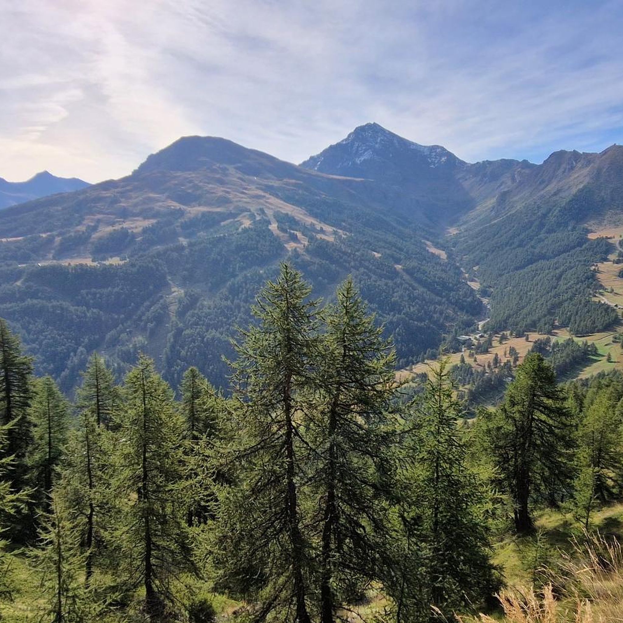
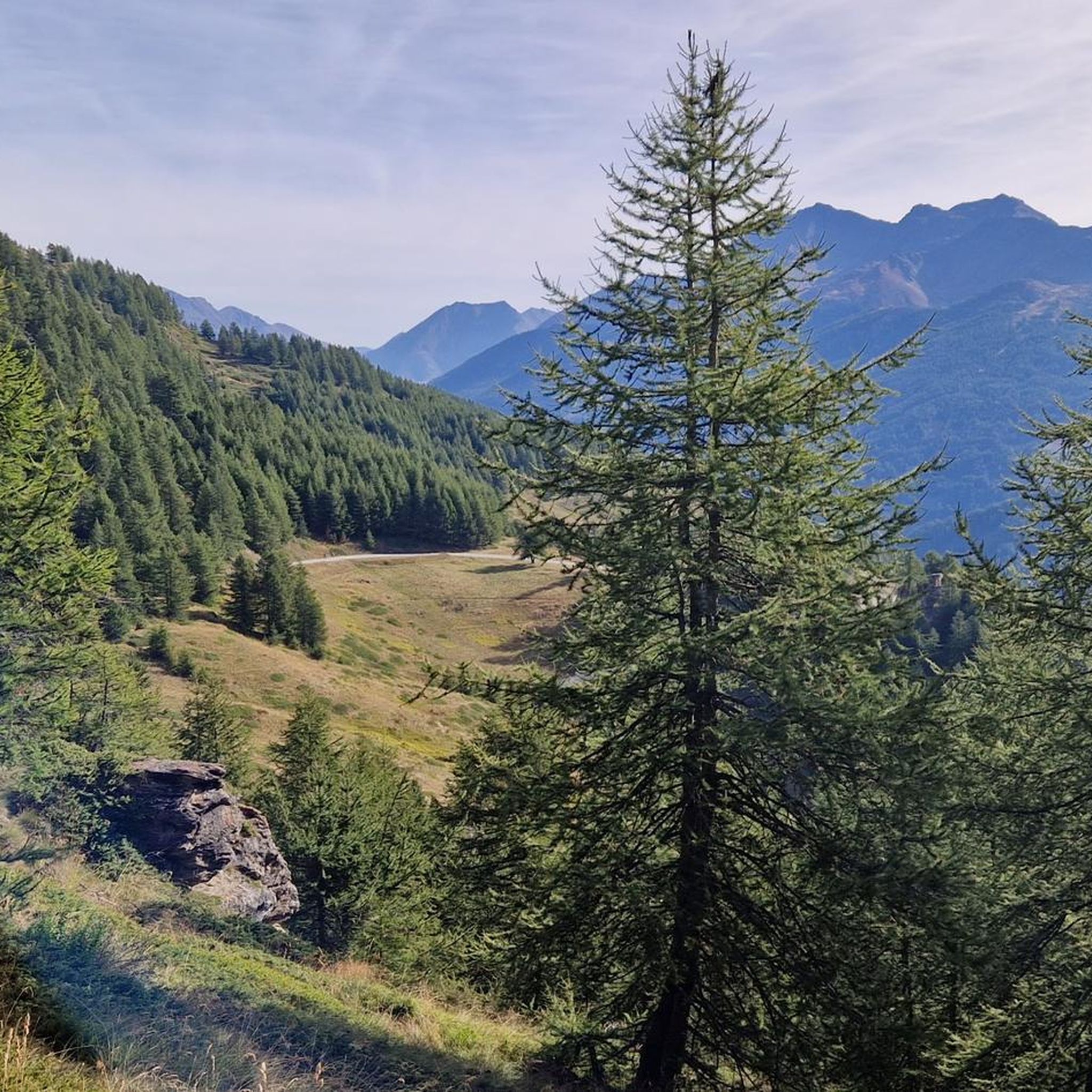
Jogging in Col Basset (Sestriere) offers diverse landscapes within an alpine environment, situated at an elevation of 2,424 meters. This mountain saddle in the Cottian Alps is characterized by vast alpine meadows that transition into rocky and scree terrain at higher elevations. The region lies along the ridge separating the Susa and Chisone valleys, providing panoramic views of the Alpine arc. Joggers can explore trails that wind through these varied natural features.
Best jogging routes in Col Basset (Sestriere)
- The most popular jogging route is Diga del Chisonetto da Sestriere – loop tour, a 5.6 miles (9.0 km) trail that takes 1 hour 7 minutes to complete, featuring a moderate elevation gain of around 230 meters.
- Another top favourite among local runners is Monte Fraiteve Loop from Sestriere, a difficult 8.9 miles (14.2 km) path. This route offers significant elevation gain of nearly 700 meters and expansive alpine views.
- Local runners also love the Punta Rognosa di Sestriere Loop Trail, a 12.7 miles (20.4 km) trail leading through high alpine terrain with over 1,480 meters of ascent, often completed in about 4 hours 32 minutes.
- Jogging in Col Basset (Sestriere) is defined by alpine meadows, rocky mountain ridges, and panoramic views of the surrounding valleys. The network offers options for different ability levels, from moderate loops to challenging high-altitude runs.
- The routes in Col Basset (Sestriere) are highly rated by the komoot community with an average score of 4.2 stars from over 20 reviews. More than 1900 runners have used komoot to explore Col Basset (Sestriere)'s varied terrain.
Last updated: July 1, 2026
4.0
(1)
16
runners
9.00km
01:07
230m
230m
Moderate run. Good fitness required. Mostly paved surfaces. Suitable for all skill levels.
3.0
(1)
10
runners
14.2km
02:08
700m
700m
Tackle the difficult Monte Fraiteve from Sestriere loop, a 8.9-mile jogging route with 2295 feet of elevation gain and 360-degree views.

Sign up for free
2
runners
20.4km
04:32
1,480m
1,480m
This difficult 12.7-mile (20.4 km) jogging loop to Punta Rognosa from Sestriere offers alpine terrain and panoramic summit views.
138
runners
14.4km
02:00
340m
340m
Hard run. Very good fitness required. Sure-footedness, sturdy shoes and alpine experience required.
5.0
(1)
111
runners
8.47km
00:57
150m
150m
Moderate run. Good fitness required. Mostly paved surfaces. Suitable for all skill levels.
Get access to more routes and recommendations from other explorers.
Sign up for free
Already have an account?
Our route recommendations are based on thousands of hikes, rides, and runs completed by other people on komoot.
Start today with a free account
Your next adventure awaits.
Login or Signup


Tips from the Community

Although the flag parade seen in some of the photos (which various users have uploaded to the highlight) could theoretically fit into a memorial for the victims of the two world wars – who came from many different nationalities – they do not belong in any context with the “Monumento ai caduti”.
0
0

A summit offering a stunning 360-degree view! Highly recommended for a beautiful sunset!
0
0

Sestriere itself is a collection of condominiums and residences. But for cycling it is one of the mythical hills...
0
0

Panorama of the Argentera Valley
0
0

Going up from Pinerolo, a long climb, but very pedalable, with just a couple of slightly steeper sections, but without ever reaching double figures. Wide valley with good views, busy road... doing it without traffic before the Tour de France passed made sense, but on any given day... there is better, even if it allows you to reach an altitude of 2000 without get too hurt
1
0

If you get thirsty...
0
0

Balcony path overlooking the valley
0
0

Alternative road to go down towards Sestriere, instead of the Bordin path
0
0
Frequently Asked Questions
How many running routes are available in Col Basset (Sestriere)?
Col Basset (Sestriere) offers a wide selection of routes, with over 119 running trails to explore. These range from easy strolls to challenging high-alpine runs, catering to various fitness levels.
Are there easy running routes suitable for beginners or families in Col Basset (Sestriere)?
Yes, there are several easier options. For instance, the region offers routes like the "Rhododendron Trail – Laghetto del Chiosonetto loop from Sestriere" (5.08 km with 120m elevation gain), which is suitable for all skill levels and often features accessible paths. While not explicitly listed as family-friendly in the guide data, its low difficulty suggests it could be a good option.
What are some notable landmarks or viewpoints along the running trails in Col Basset (Sestriere)?
Runners can enjoy breathtaking vistas of the Alpine arc, extending from Mount Chaberton to Seguret, and a dual panorama of Sestriere and Sauze d'Oulx. Key landmarks include Col Basset itself, and Monte Fraiteve. You might also encounter the historic Strada dell'Assietta, which offers ever-changing perspectives. Don't miss the View of Bardonecchia from the Assietta Road.
Are there any circular running routes in Col Basset (Sestriere)?
Absolutely. Many of the routes in Col Basset (Sestriere) are designed as loops, offering varied scenery without retracing your steps. A popular moderate option is the Diga del Chisonetto da Sestriere – loop tour, covering 9 km with 230m elevation gain. For a more challenging experience, consider the Monte Fraiteve Loop from Sestriere.
What is the best season for running in Col Basset (Sestriere)?
Col Basset is an alpine environment, so the best season for running is typically from late spring through early autumn. During these months, trails are generally free of snow, and the weather is more favorable for outdoor activities. Summer offers pleasant temperatures and lush alpine meadows, while early autumn provides stunning fall foliage.
What should I wear for running in Col Basset (Sestriere)?
Given the alpine environment and elevation of 2,424 meters, it's advisable to dress in layers. Even in summer, temperatures can change quickly. Wear moisture-wicking clothing, sturdy running shoes with good grip for varied terrain (alpine meadows, rocky paths), and bring a lightweight windbreaker or waterproof jacket. Sun protection, including a hat and sunglasses, is also recommended.
Are there challenging or advanced running routes for experienced runners?
Yes, Col Basset (Sestriere) offers several demanding routes for experienced runners. The Punta Rognosa di Sestriere Loop Trail is a difficult 20.4 km route with over 1,480 meters of ascent, leading through high alpine terrain. Another challenging option is the Monte Fraiteve Loop from Sestriere, which covers 14.2 km with nearly 700 meters of elevation gain.
What do other runners enjoy most about the trails in Col Basset (Sestriere)?
The running routes in Col Basset (Sestriere) are highly rated by the komoot community, with an average score of 4.2 stars from over 20 reviews. Runners often praise the diverse landscapes, from vast alpine meadows to rocky terrain, and the stunning panoramic views of the Alpine arc and surrounding valleys.
Is there parking available near the running trails in Col Basset (Sestriere)?
Sestriere, being a popular mountain resort, generally offers parking facilities. While specific parking spots for each trail are not detailed, you can typically find parking in and around the town center or at trailheads accessible by car. It's advisable to check local signage for parking regulations and availability.
Can I reach the running trails in Col Basset (Sestriere) using public transport?
Sestriere is accessible by public transport, primarily buses connecting it to larger towns and train stations in the region. Once in Sestriere, many trails are accessible directly from the town or via short walks. For detailed information on bus schedules and routes, it's best to consult local transport providers.
Are there any specific natural features or wildlife to look out for while running?
Yes, the area is rich in natural beauty. You'll run through vast alpine meadows and rocky terrain. Col Basset lies along the ridge separating the Susa and Chisone valleys, offering unique ecological zones. The area also boasts a xerothermal oasis, home to various butterfly species, particularly between Mount Fraiteve and Mount Triplex. Keep an eye out for natural spots like Lake Losetta and Lake Nero.
Where can I find more information about the historic routes in the Col Basset area?
The historic Strada dell'Assietta is a significant feature in the region, winding past fortifications and high-altitude pastures. For more detailed information on the historic mountain routes, including the Vezzani-Col Basset road and the Sestriere-Col Basset road, you can visit the official tourism website of Piedmont: Historic Mountain Routes.
Most popular routes in Col Basset (Sestriere)
Most popular attractions in Col Basset (Sestriere)

Get inspired with the komoot mobile app


Explore more
Browse the best Running Trails & Routes in other regions.
